Barton's Withybed
Wood, Forest in Hampshire
England
Barton's Withybed
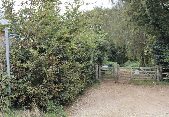
Barton's Withybed is a small woodland area located in Hampshire, England. Situated in the heart of the county, it is a popular destination for nature enthusiasts and those seeking a peaceful retreat. With its lush greenery and diverse wildlife, the wood offers a unique and immersive experience for visitors.
Covering an area of approximately 50 acres, Barton's Withybed is home to a variety of tree species, including oak, beech, and birch. These towering trees create a dense canopy that filters sunlight, casting a cool and tranquil atmosphere throughout the wood. Underneath the canopy, the forest floor is covered in a thick layer of moss, providing a soft and cushiony surface to walk on.
The woodland is crisscrossed by a network of winding footpaths, allowing visitors to explore its various nooks and crannies. Along these paths, one can discover hidden ponds, babbling streams, and even the occasional fallen tree trunk that serves as a makeshift bench. The sound of birds chirping and leaves rustling in the wind creates a serene soundtrack to accompany the walk.
Barton's Withybed is also a haven for wildlife. Squirrels can be seen scurrying up and down the trees, while rabbits and deer occasionally make appearances in the early morning or late evening. Birdwatchers have the chance to spot a wide range of bird species, including woodpeckers, owls, and songbirds.
Overall, Barton's Withybed offers a tranquil and picturesque woodland experience in the heart of Hampshire. Its lush greenery, diverse wildlife, and peaceful atmosphere provide a welcome escape from the hustle and bustle of everyday life.
If you have any feedback on the listing, please let us know in the comments section below.
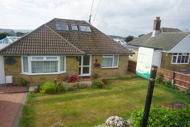
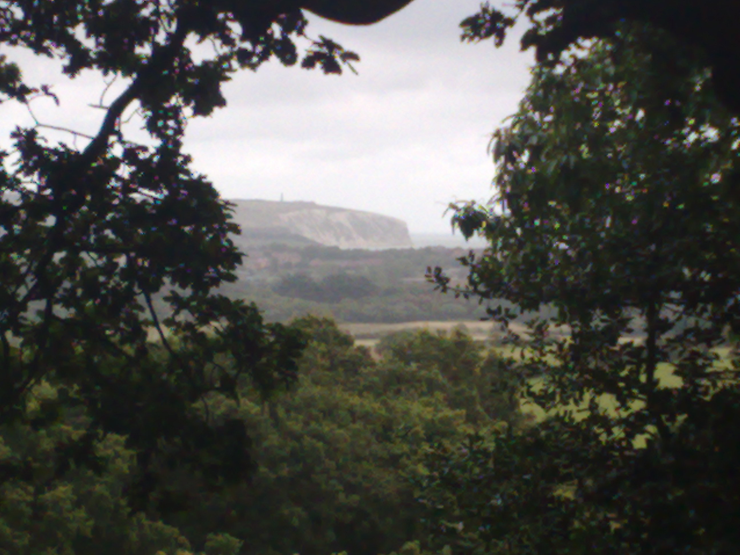
Barton's Withybed Images
Images are sourced within 2km of 50.645251/-1.1930872 or Grid Reference SZ5783. Thanks to Geograph Open Source API. All images are credited.


Barton's Withybed is located at Grid Ref: SZ5783 (Lat: 50.645251, Lng: -1.1930872)
Unitary Authority: Isle of Wight
Police Authority: Hampshire
What 3 Words
///berated.complies.comforted. Near Sandown, Isle of Wight
Nearby Locations
Related Wikis

Ninham
Ninham is a hamlet on the Isle of Wight in the parish of Shanklin, and about 2 miles (3.3 km) away from Shanklin, the nearest tourist town. It is about...

Apse Heath
Apse Heath is a hamlet on the Isle of Wight, UK. Apse Heath is centered on the intersection of Newport Road and Alverstone Road. At the 2011 Census the...

Landguard Manor
Landguard Manor (or Languard) is a manor house in Shanklin on the Isle of Wight, England. Mentioned in the Domesday Book, over the centuries it was home...
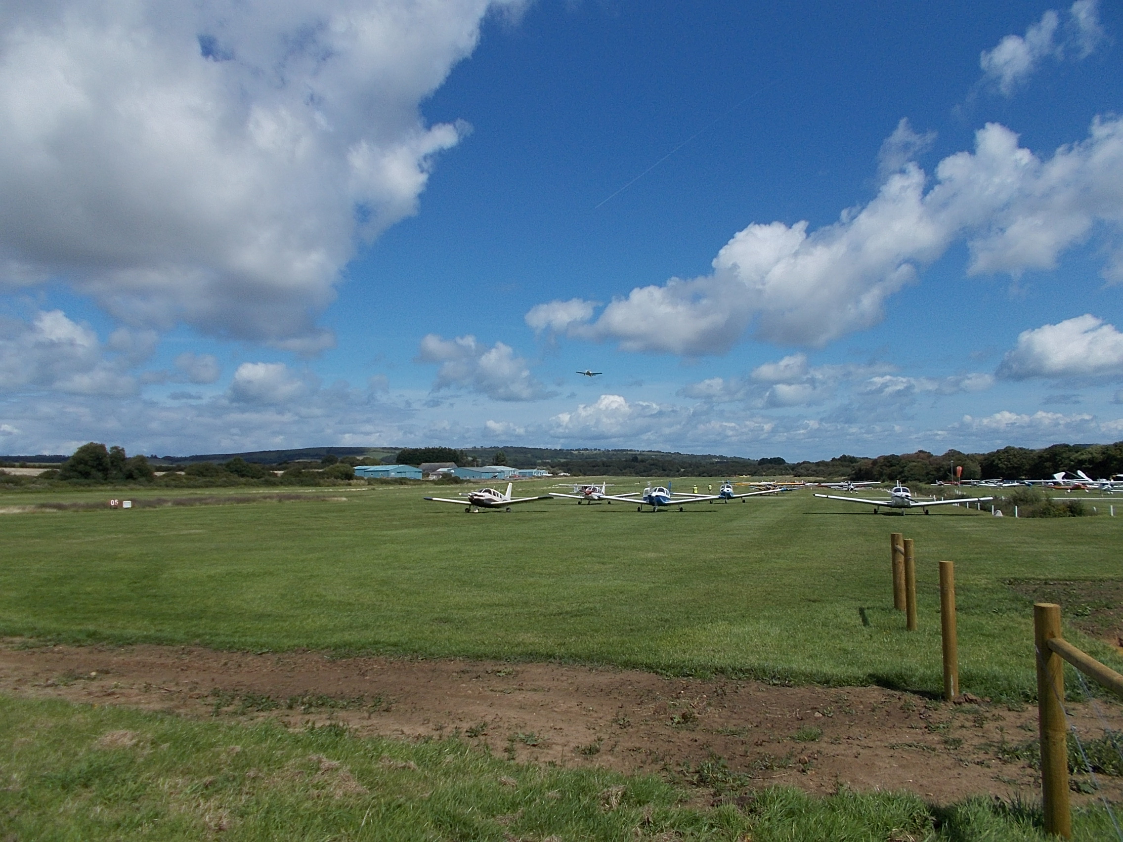
Isle of Wight/Sandown Airport
Isle of Wight/Sandown Airport (ICAO: EGHN) is an unlicensed aerodrome located 1 nautical mile (1.9 km; 1.2 mi) west of Sandown, Isle of Wight, England...
Borthwood Copse
Borthwood Copse, near Sandown, Isle of Wight, England is a piece of woodland owned by the National Trust and is one of the numerous copses which make up...
Princelett
Princelett, sometimes spelled "Princelet", is a hamlet on the Isle of Wight. Princelett is in Newchurch parish. Until the mid 20th Century it was known...

America Wood
America Wood (grid reference SZ567820) is a 21.4 hectare biological Site of Special Scientific Interest on the Isle of Wight, notified in 1986. Legend...

Winford, Isle of Wight
Winford is a hamlet on the Isle of Wight which since the 1950s and particularly in the late 1970s has seen considerable housing development. The local...
Nearby Amenities
Located within 500m of 50.645251,-1.1930872Have you been to Barton's Withybed?
Leave your review of Barton's Withybed below (or comments, questions and feedback).