Moyra Plantation
Wood, Forest in Nottinghamshire Gedling
England
Moyra Plantation
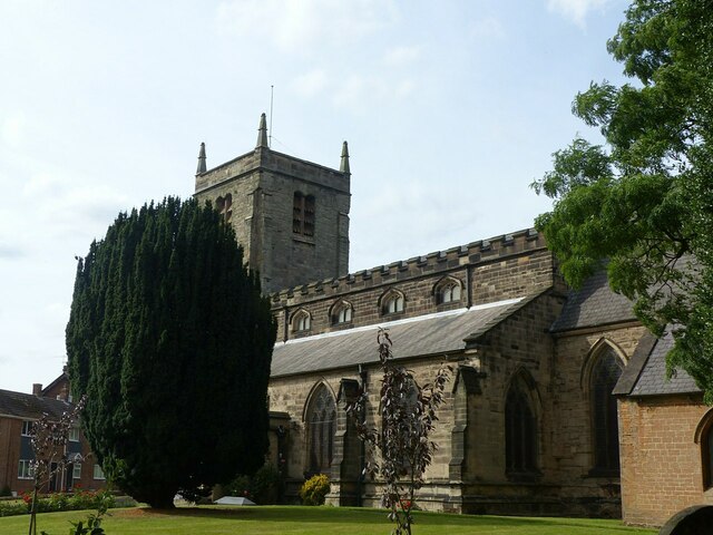
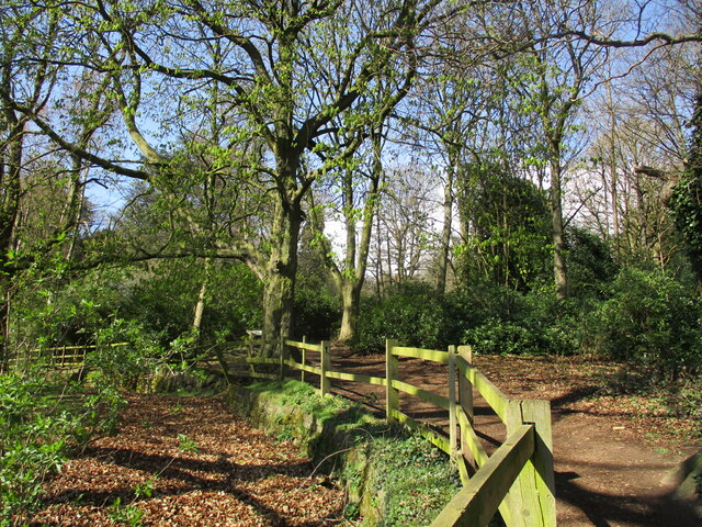
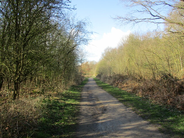
Moyra Plantation is a picturesque woodland located in Nottinghamshire, England. Situated in the heart of the county, it spans an area of approximately 200 acres and is renowned for its natural beauty and tranquil atmosphere. The plantation is nestled within the larger Sherwood Forest, a famous historic woodland associated with the legendary Robin Hood.
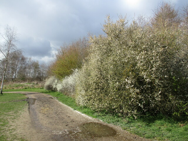
Moyra Plantation boasts a diverse range of tree species, including oak, beech, birch, and pine, which create a rich tapestry of colors throughout the year. The woodland floor is adorned with a variety of wildflowers, adding to its aesthetic appeal. The plantation is home to an abundance of wildlife, including deer, foxes, squirrels, and a myriad of bird species, making it a popular destination for nature enthusiasts and birdwatchers.
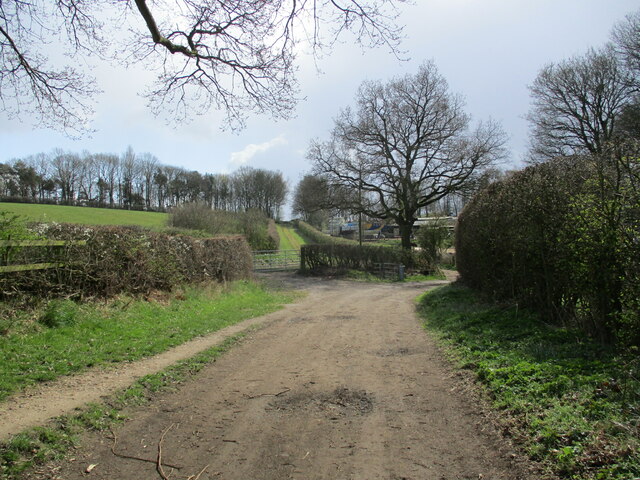
The plantation offers a network of well-maintained trails, providing visitors with the opportunity to explore the woodland at their own pace. These paths cater to both casual strollers and avid hikers, ensuring accessibility for all. Additionally, there are designated picnic areas and benches strategically placed throughout the plantation, allowing visitors to rest, relax, and enjoy the stunning surroundings.
Moyra Plantation is managed by local conservation organizations in collaboration with the Nottinghamshire County Council. Their efforts aim to preserve the natural heritage of the woodland and promote its ecological significance. Regular maintenance ensures the paths remain clear and safe for visitors, while selective tree management practices contribute to the overall health and diversity of the plantation.
As a cherished destination for locals and tourists alike, Moyra Plantation offers a serene and enchanting experience, inviting visitors to immerse themselves in the splendor of nature.
If you have any feedback on the listing, please let us know in the comments section below.
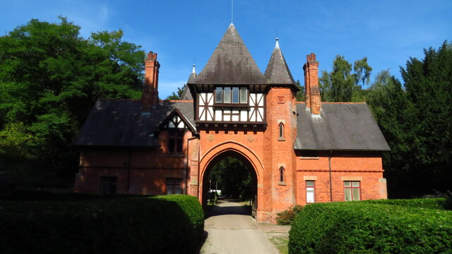
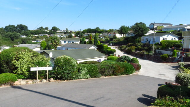
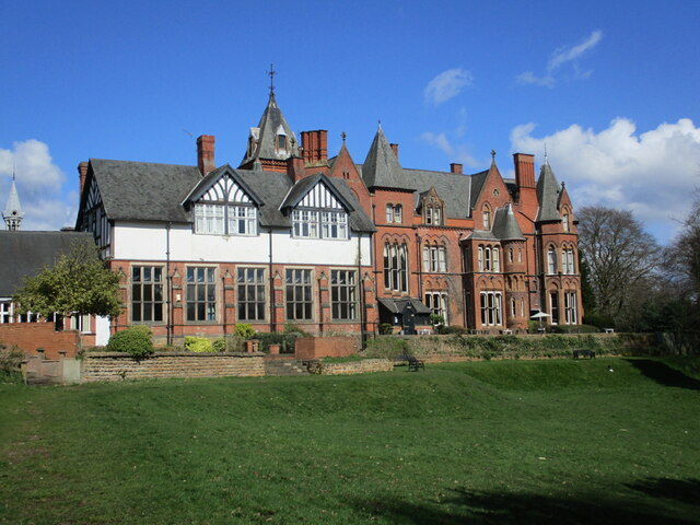
Moyra Plantation Images
Images are sourced within 2km of 53.013979/-1.1498322 or Grid Reference SK5746. Thanks to Geograph Open Source API. All images are credited.


Moyra Plantation is located at Grid Ref: SK5746 (Lat: 53.013979, Lng: -1.1498322)
Administrative County: Nottinghamshire
District: Gedling
Police Authority: Nottinghamshire
What 3 Words
///sudden.cried.throw. Near Arnold, Nottinghamshire
Nearby Locations
Related Wikis

St Albans, Nottinghamshire
St. Albans is a civil parish in the Gedling borough of Nottinghamshire, England. It was part of the wider Bestwood St. Albans parish, which ceased to exist...

The Oakwood Academy
The Oakwood Academy (formerly Big Wood School)' is a secondary school located on Bewcastle Road, Warren Hill, Nottingham, England. It is for 11- to 16...
Warren Hill, Nottinghamshire
Warren Hill is an area within the market town of Arnold in the English ceremonial county of Nottinghamshire. Located in the civil parish of St. Albans...

Redhill, Nottinghamshire
Redhill () is a small community forming part of the much larger town of Arnold in Nottinghamshire, England. It is approximately 4 miles (6.4 km) north...
Bestwood Park
Bestwood Park is a large post-war council estate located to the north of the city of Nottingham, England, and roughly bounded by Beckhampton Road, Oxclose...
Redhill Academy
Redhill Academy is a secondary school and sixth form with academy status, situated on Redhill Road in Arnold, Nottinghamshire, England. The school has...
Top Valley
Top Valley is a largely residential area in the north west of Nottingham, England. It is located to the south of Rise Park, to the north and west of Bestwood...
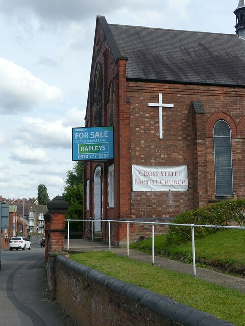
Cross Street Baptist Church
Cross Street Baptist Church is on Cross Street in Arnold, Nottinghamshire. == History == The original Baptist chapel on this site was built in 1825 by...
Nearby Amenities
Located within 500m of 53.013979,-1.1498322Have you been to Moyra Plantation?
Leave your review of Moyra Plantation below (or comments, questions and feedback).