Beechcroft Shaw

Wood, Forest in Berkshire

England

Beechcroft Shaw

Path by the church, Aldworth, Berkshire
Path by the church, Aldworth, Berkshire Credit: Oswald Bertram

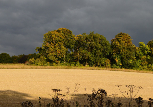
Beechcroft Shaw is a woodland area located in Berkshire, England. It is situated near the village of Wood, within the larger area known as Beechcroft Forest. Covering approximately 200 acres, Beechcroft Shaw is a designated Site of Special Scientific Interest (SSSI) due to its diverse and unique ecosystem.

The woodland consists primarily of beech trees, which dominate the landscape and give the area its name. These majestic trees form a dense canopy, providing shade and shelter for a wide variety of flora and fauna. The forest floor is carpeted with a rich assortment of wildflowers, including bluebells, wood anemones, and wild garlic, creating a vibrant and colorful display during the spring and summer months.

Beechcroft Shaw is home to a range of wildlife species, including several rare and protected species. It provides a crucial habitat for birds such as woodpeckers, owls, and various songbirds. Additionally, the forest is inhabited by mammals such as deer, foxes, and badgers, as well as numerous species of insects and reptiles.

The woodland is a popular destination for nature enthusiasts, hikers, and photographers. It features a network of well-maintained trails, allowing visitors to explore the area and enjoy its natural beauty. The peaceful and tranquil atmosphere of Beechcroft Shaw makes it an ideal location for those seeking solace and a connection with nature.

Conservation efforts are in place to protect and preserve the biodiversity of Beechcroft Shaw. Local authorities and environmental organizations work together to maintain the delicate balance of the woodland ecosystem, ensuring its continued survival for future generations to enjoy.

If you have any feedback on the listing, please let us know in the comments section below.

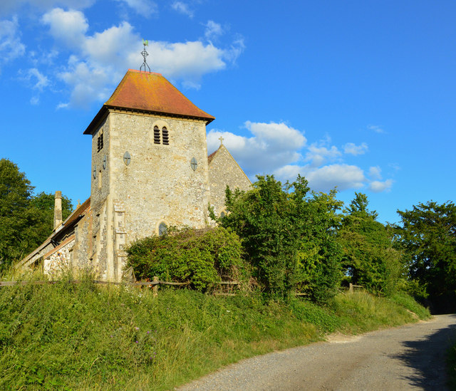
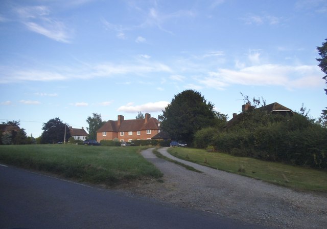
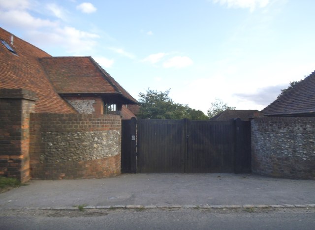
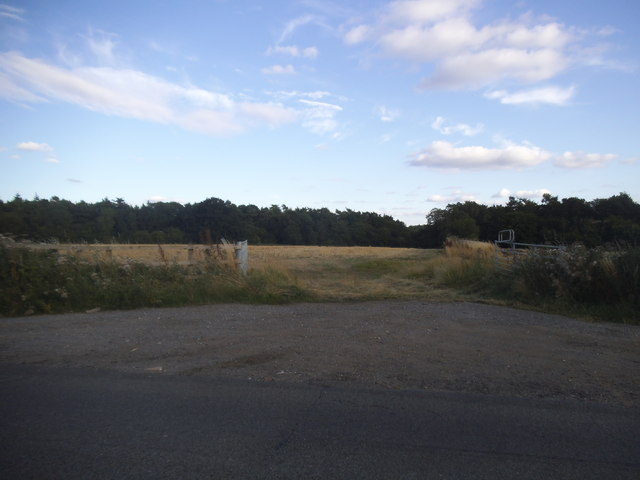
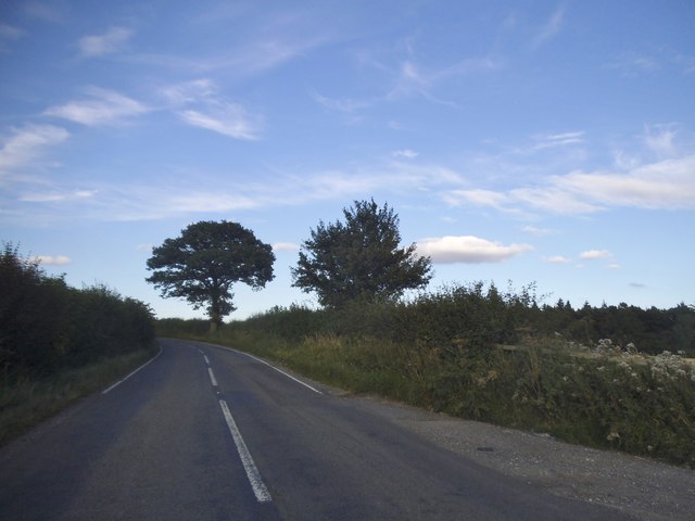
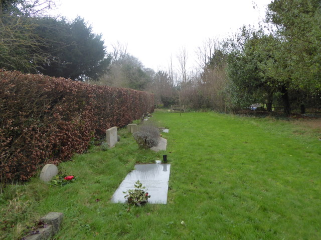
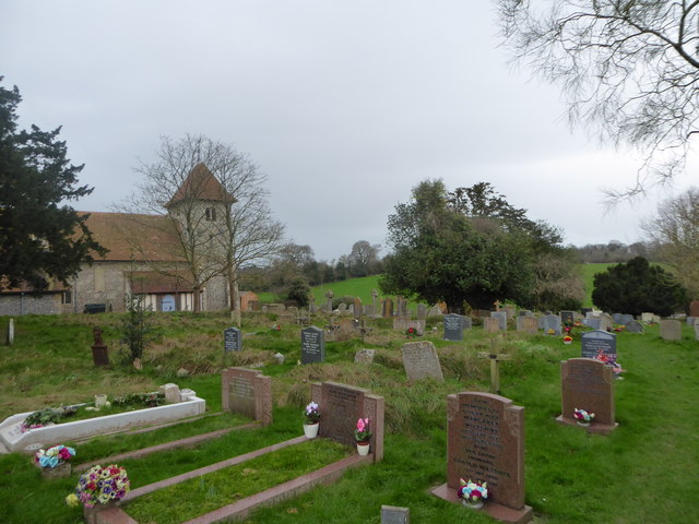
Beechcroft Shaw Images

Images are sourced within 2km of 51.505453/-1.1797626 or Grid Reference SU5778. Thanks to Geograph Open Source API. All images are credited.

Path by the church, Aldworth, Berkshire
Westridge Green
Westridge Green
The entrance to Westridge Manor Farm This appears to have been converted to very large houses
The entrance to Westridge Manor Farm
This appears to have been converted to very large houses
Field entrance in Westridge Green
The B4009, Westridge Green
Farmland, Ashampstead, Berkshire
The Old Stores, Ashampstead, Berkshire House and shop, now house. Late C16, Circa 1800 and Mid C19. Left-hand block: red brick; dentil brick eaves cornice to old tile hipped roof with end stack to left and stack off-centre to right at rear. 2 storeys. 2 glazing bar sashes with exposed wooden boxes on each floor, those on ground floor with segmental heads. 2-panelled door to right. Right-hand block: timber framed with red brick refacing and additions with gable to road; old tile roof. One storey. Large arched 8-light shop window with blank tympanum above, 4-panelled doorway to right with C19 lattice iron porch and corrugated iron canopy.

(Source:Historic England)
The Old Stores, Ashampstead, Berkshire
House and shop, now house. Late C16, Circa 1800 and Mid C19. Left-hand block: red brick; dentil brick eaves cornice to old tile hipped roof with end stack to left and stack off-centre to right at rear. 2 storeys. 2 glazing bar sashes with exposed wooden boxes on each floor, those on ground floor with segmental heads. 2-panelled door to right. Right-hand block: timber framed with red brick refacing and additions with gable to road; old tile roof. One storey. Large arched 8-light shop window with blank tympanum above, 4-panelled doorway to right with C19 lattice iron porch and corrugated iron canopy. (Source:Historic England)
St. Mary, Aldworth: war memorial
St. Mary, Aldworth: churchyard (i)
St. Mary, Aldworth: churchyard (ii)
St. Mary, Aldworth: churchyard (iii)
St. Mary, Aldworth: churchyard (iv)
St. Mary, Aldworth: churchyard (v)
St. Mary, Aldworth: churchyard (vi)
St. Mary, Aldworth: churchyard (vii)
St. Mary, Aldworth: churchyard (viii)
St. Mary, Aldworth: churchyard (ix)
St. Mary, Aldworth: churchyard (x)
Show me another place!

Beechcroft Shaw is located at Grid Ref: SU5778 (Lat: 51.505453, Lng: -1.1797626)

Unitary Authority: West Berkshire

Police Authority: Thames Valley

What 3 Words

///crunchy.improve.absent. Near Goring, Oxfordshire

Nearby Locations

Black Wood Beechcroft Shaw

Related Wikis

Aldworth

Aldworth is a village and mainly farmland civil parish in the English county of Berkshire, near the boundary with Oxfordshire. == Orthography and slight... ==

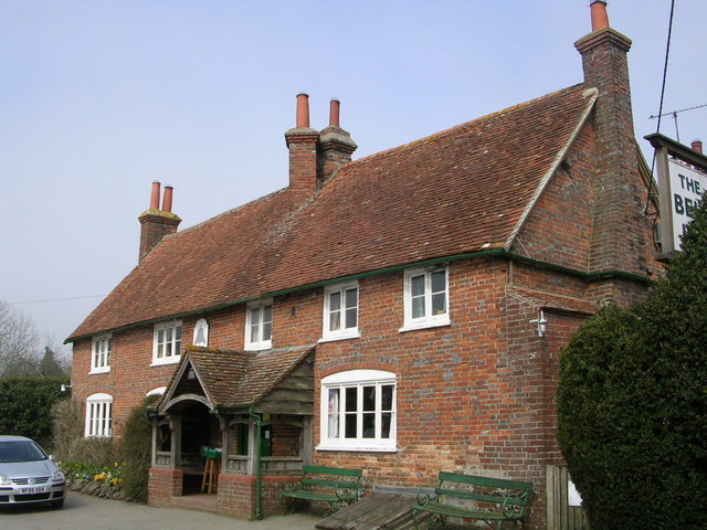
The Bell Inn, Aldworth

The Bell Inn is a pub at the village of Aldworth, in the English county of West Berkshire. It won CAMRA's National Pub of the Year in 1990, and received...

Ashampstead

Ashampstead is a small village and civil parish in the rural area between Reading, Newbury and Streatley in Berkshire, England. The parish population is...

Lardon Chase, the Holies and Lough Down

Lardon Chase, the Holies and Lough Down is a National Trust countryside property in the English county of Berkshire. It is situated on the edge of the...

Nearby Amenities

Located within 500m of 51.505453,-1.1797626
Power: pole
Source: Bing
Lat/Long: 51.503066/-1.1778199
Power: pole
Source: Bing
Lat/Long: 51.503804/-1.1788606
Power: pole
Source: Bing
Lat/Long: 51.5090311/-1.1816528
Power: pole
Source: Bing
Lat/Long: 51.5046054/-1.1799844
Power: pole
Source: Bing
Lat/Long: 51.5066288/-1.1813067
Power: pole
Source: Bing
Lat/Long: 51.5074251/-1.1814221
Power: pole
Source: Bing
Lat/Long: 51.5054369/-1.1811405
The data included in this document is from www.openstreetmap.org. The data is made available under ODbL.

Have you been to Beechcroft Shaw?

Leave your review of Beechcroft Shaw below (or comments, questions and feedback).