Round Hill Plantation
Wood, Forest in Nottinghamshire Gedling
England
Round Hill Plantation

Round Hill Plantation is a picturesque estate located in Nottinghamshire, England. Situated amidst the lush woodlands and dense forests of the region, the plantation spans over a vast area, providing a serene and tranquil setting for visitors and residents alike.
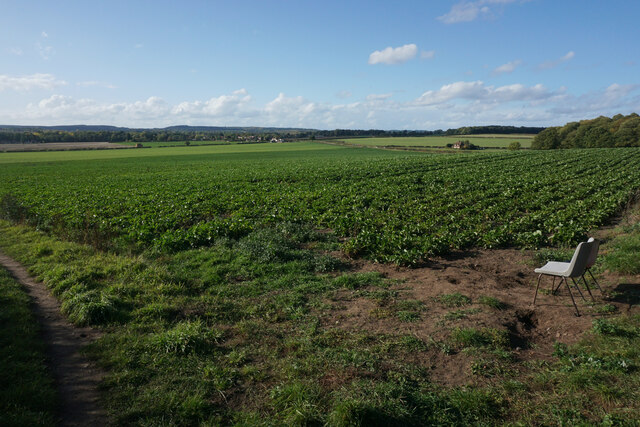
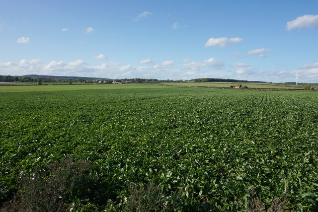
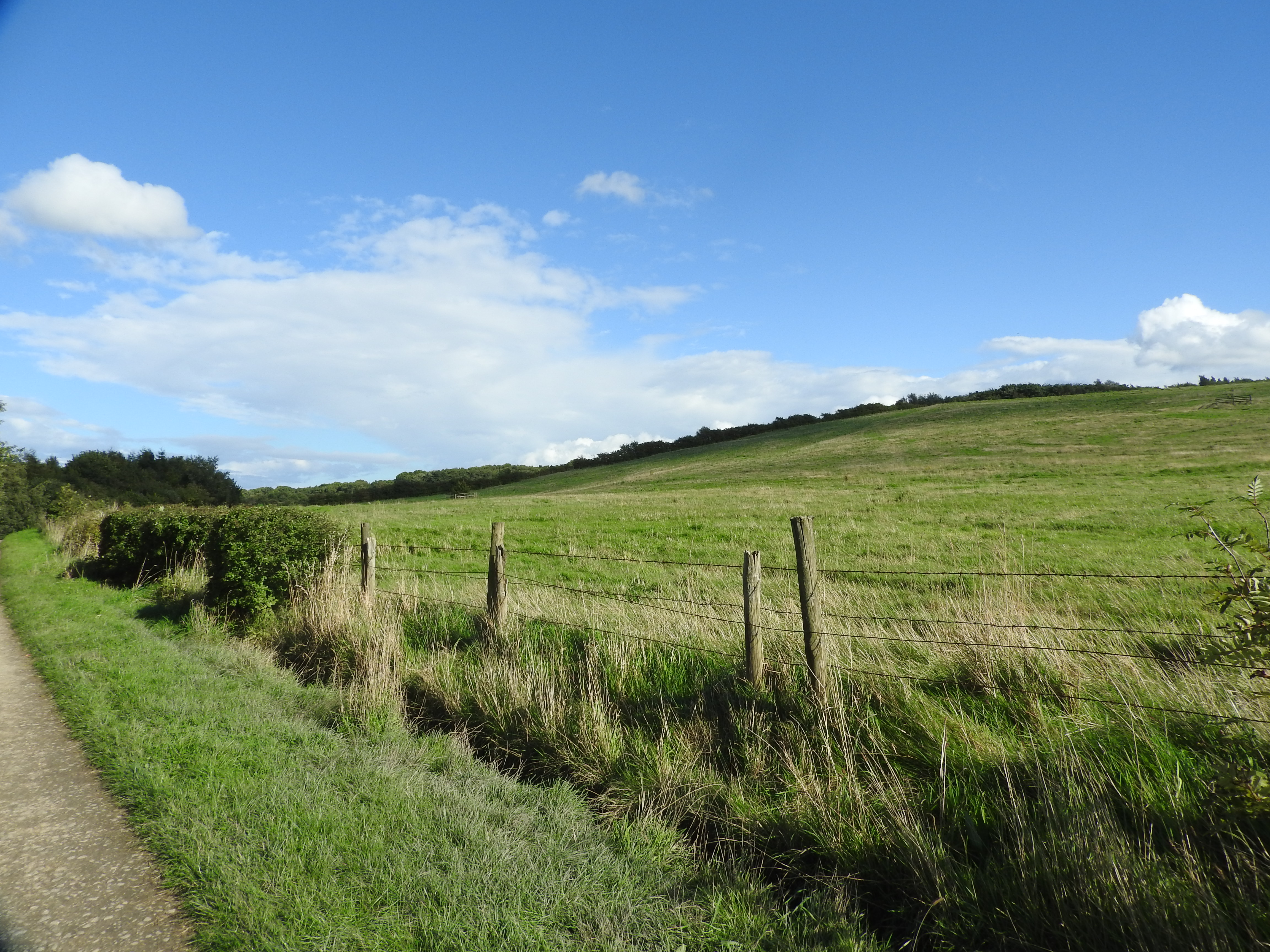
The plantation is renowned for its majestic round hill, which stands prominently in the landscape, offering breathtaking panoramic views of the surrounding countryside. Covered in a rich tapestry of greenery, the hill serves as a perfect vantage point for nature enthusiasts and avid photographers.
The woodland areas of Round Hill Plantation are home to a diverse range of flora and fauna, making it an ideal destination for wildlife enthusiasts. Visitors might spot rare species of birds, such as woodpeckers and owls, as well as various woodland creatures like squirrels and deer.
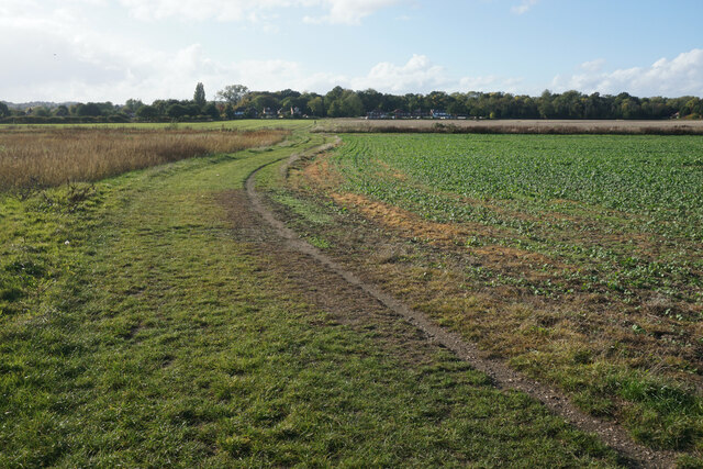
The plantation also features well-maintained walking trails, providing an opportunity for visitors to explore the natural beauty of the area at their own pace. These trails wind through the enchanting forests, allowing visitors to immerse themselves in the sights and sounds of nature.
Round Hill Plantation is not only a haven for nature lovers but also a place of historical significance. It is believed to have been a site of human occupation since ancient times, with archaeological artifacts dating back thousands of years being discovered in the vicinity.
Overall, Round Hill Plantation offers a unique blend of natural beauty, historical significance, and recreational opportunities. Whether one seeks solitude in nature or wishes to delve into the region's rich history, Round Hill Plantation provides a truly memorable experience for all who visit.
If you have any feedback on the listing, please let us know in the comments section below.
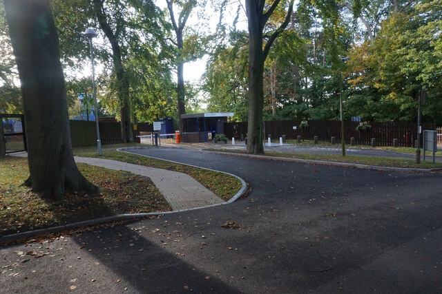
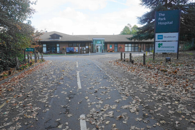
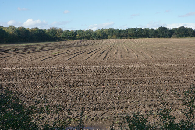
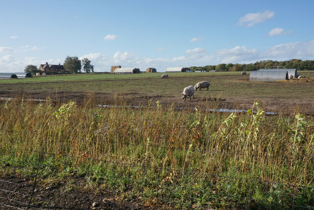
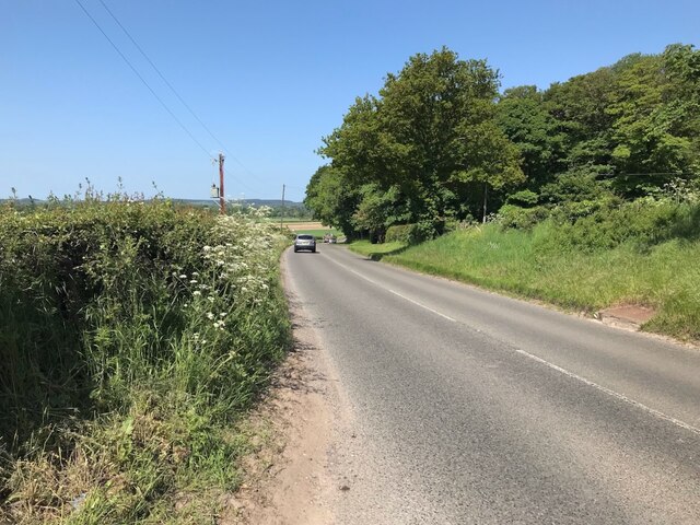
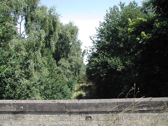
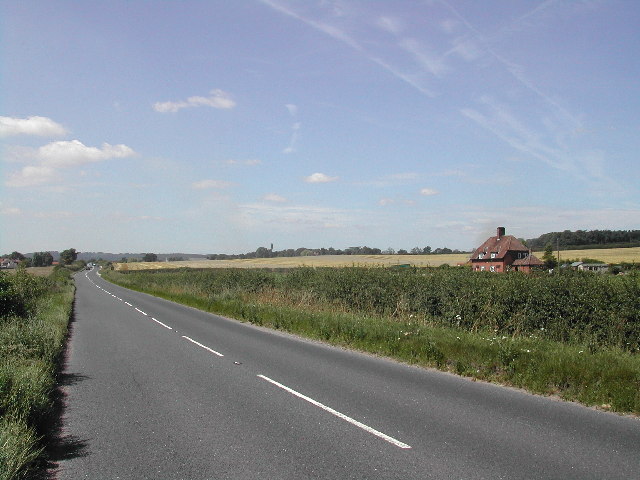
Round Hill Plantation Images
Images are sourced within 2km of 53.039031/-1.1521733 or Grid Reference SK5649. Thanks to Geograph Open Source API. All images are credited.


Round Hill Plantation is located at Grid Ref: SK5649 (Lat: 53.039031, Lng: -1.1521733)
Administrative County: Nottinghamshire
District: Gedling
Police Authority: Nottinghamshire
What 3 Words
///laser.rinse.flip. Near Hucknall, Nottinghamshire
Nearby Locations
Related Wikis

Bestwood Pumping Station
Bestwood Pumping Station was a water pumping station operating in Nottinghamshire from 1874 until 1964. == History == Bestwood Pumping Station was built...

Arnold Town F.C.
Arnold Town Football Club is a football club based in Arnold, Nottinghamshire, England. They are currently members of the Central Midlands League South...

Bestwood Village
Bestwood Village is an area and civil parish in the Gedling district of Nottinghamshire. Until 1 April 2018 it was part of the civil parish of Bestwood...

Whyburn
The Whyburn (known locally as Town Brook, and by the UK Government as Baker Lane Brook) is the main watercourse flowing through the town of Hucknall in...
Bestwood Country Park
Bestwood Country Park is a country park near Bestwood Village, Nottinghamshire, England. Bestwood was a hunting estate owned by the Crown from the medieval...

Papplewick
Papplewick is a village and civil parish in Nottinghamshire, England, 7.5 miles (12 km) north of Nottingham and 6 miles (10 km) south of Mansfield. It...

Butler's Hill tram stop
Butler's Hill is a tram stop on the Nottingham Express Transit network, serving the suburb of Butler's Hill, Ashfield in Nottinghamshire, England. The...
The Oakwood Academy
The Oakwood Academy (formerly Big Wood School)' is a secondary school located on Bewcastle Road, Warren Hill, Nottingham, England. It is for 11- to 16...
Nearby Amenities
Located within 500m of 53.039031,-1.1521733Have you been to Round Hill Plantation?
Leave your review of Round Hill Plantation below (or comments, questions and feedback).