Cocklow Wood

Wood, Forest in Leicestershire Charnwood

England

Cocklow Wood

Pump house at the top of Swithland Reservoir Victorian pump house at the Northern end of Swithland Reservoir, also known to Geocachers as Dumbledore's Retreat.
Pump house at the top of Swithland Reservoir Credit: Andy Bryant

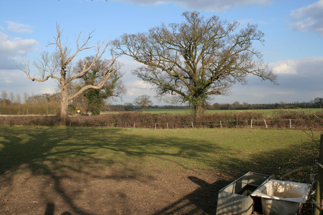
Cocklow Wood is a beautiful woodland situated in the county of Leicestershire, England. Covering an area of approximately 200 acres, it is a prominent natural attraction in the region. The wood is located near the village of Cocklow and is easily accessible by foot or by car.

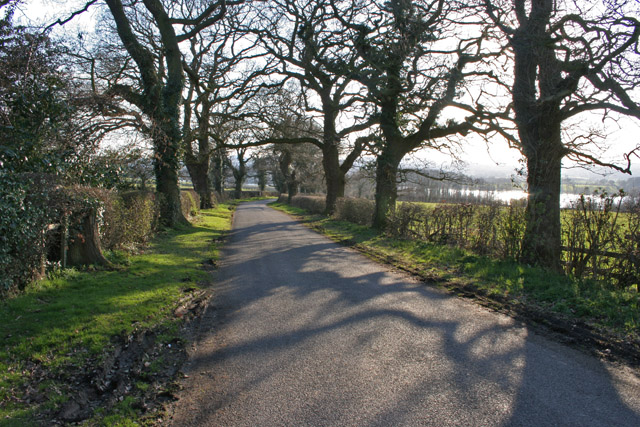
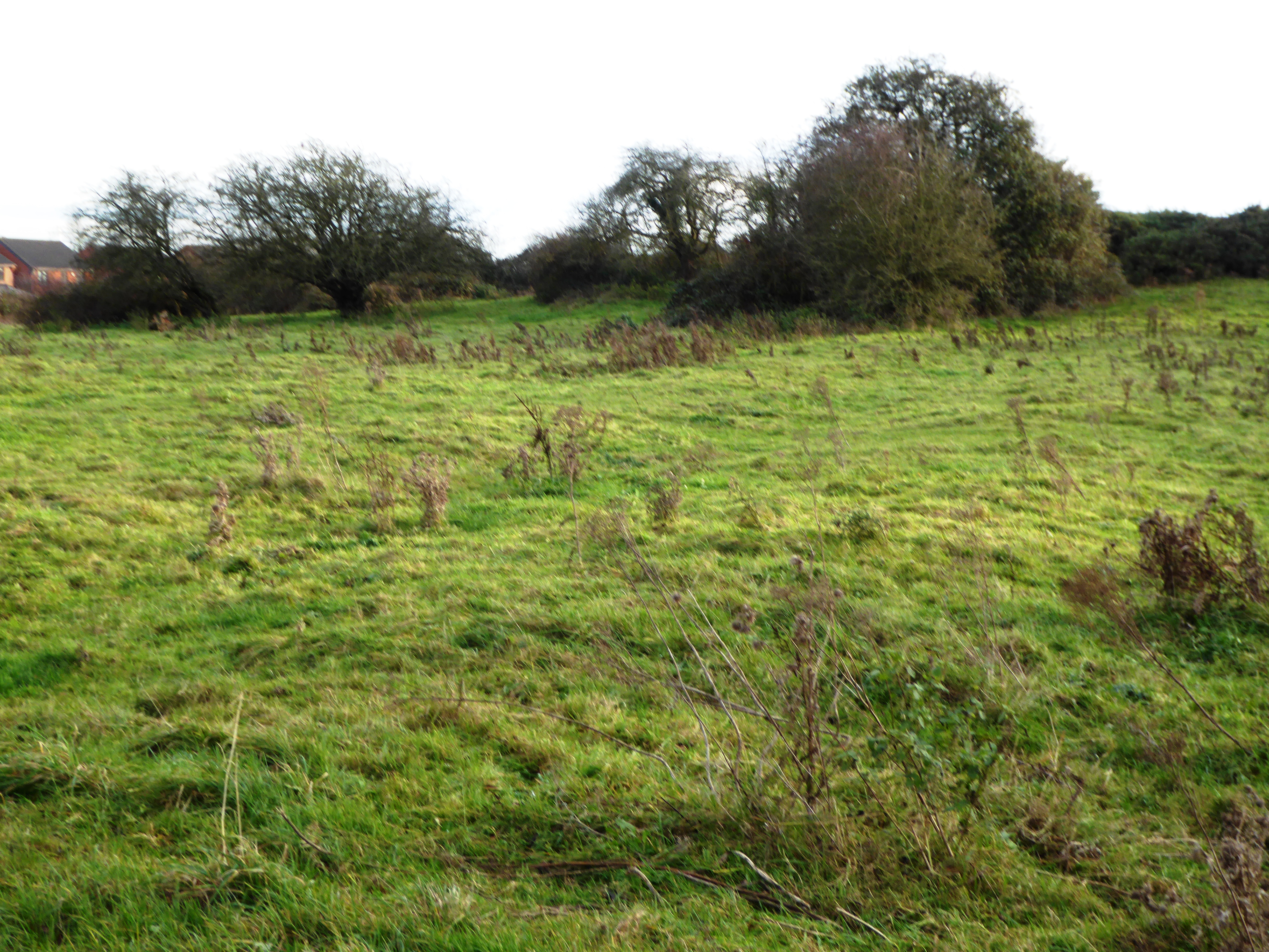
The woodland is characterized by its diverse flora and fauna, making it a popular destination for nature enthusiasts and photographers. It is home to a variety of tree species, including oak, ash, birch, and beech, which create a stunning canopy overhead. The forest floor is adorned with a carpet of bluebells during the spring, creating a picturesque scene.

Cocklow Wood is known for its tranquil and peaceful ambiance, making it an ideal place for those seeking solitude or a quiet escape from the hustle and bustle of daily life. The wood offers numerous walking trails and paths, allowing visitors to explore its beauty at their own pace. Wildlife is abundant in the area, with sightings of deer, squirrels, and various bird species being common.

In addition to its natural beauty, Cocklow Wood also has a rich historical significance. The wood was once used as a source of timber for the local community, and remnants of old saw pits and charcoal platforms can still be found within its boundaries.

Overall, Cocklow Wood in Leicestershire is a stunning woodland that offers visitors a chance to immerse themselves in nature and experience the tranquility of the forest.

If you have any feedback on the listing, please let us know in the comments section below.
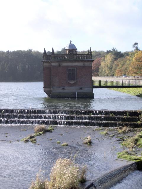
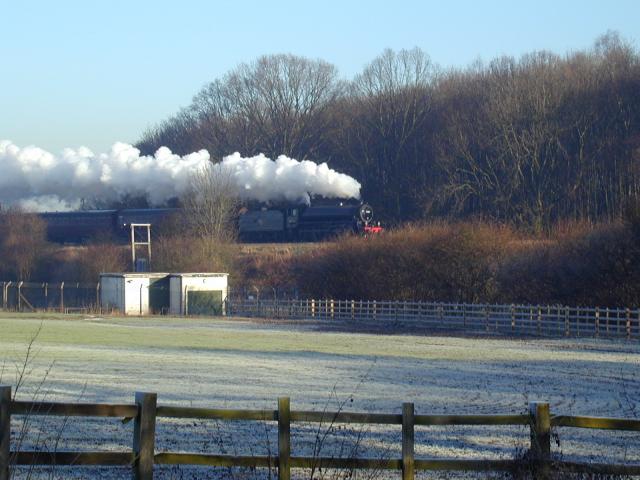
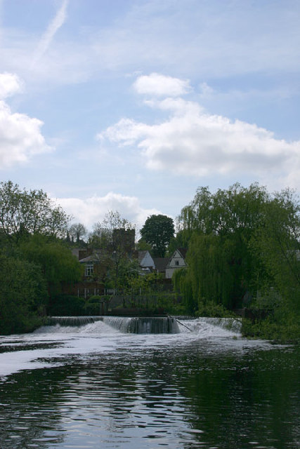
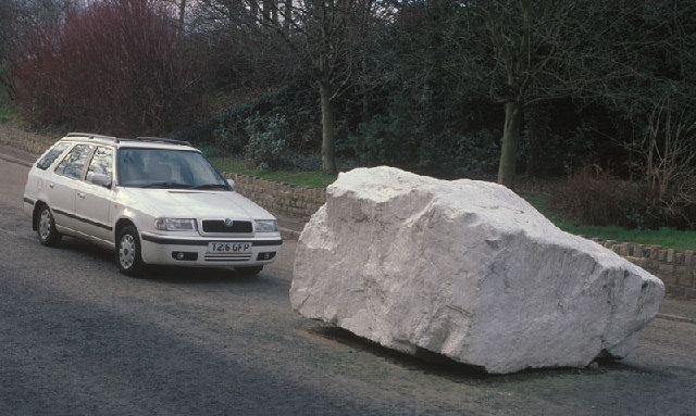
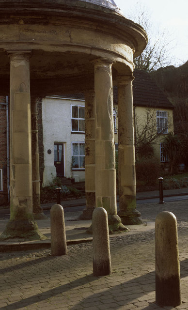
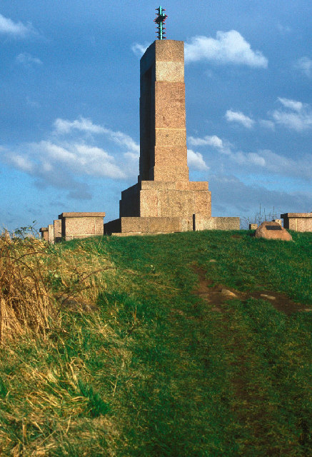
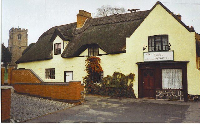
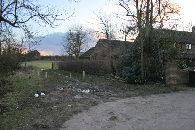
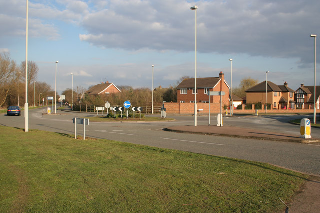
Cocklow Wood Images

Images are sourced within 2km of 52.730131/-1.1585612 or Grid Reference SK5615. Thanks to Geograph Open Source API. All images are credited.

Pump house at the top of Swithland Reservoir Victorian pump house at the Northern end of Swithland Reservoir, also known to Geocachers as Dumbledore's Retreat.
Pump house at the top of Swithland Reservoir
Victorian pump house at the Northern end of Swithland Reservoir, also known to Geocachers as Dumbledore's Retreat.
Great Central Railway
Mountsorrel weir
Mountsorrel weir
Large rock at Mountsorrel This is the access road to the roadstone quarry at Mountsorrel.
Large rock at Mountsorrel
This is the access road to the roadstone quarry at Mountsorrel.
Mountsorrel Butter Market
War Memorial Mountsorrel
Quorndon The Thatch Restaurant, The Wedding Path, Quorndon occupies part of an old thatched cottage. Note the straw fox and pheasant on the roof and church tower to left.
Quorndon
The Thatch Restaurant, The Wedding Path, Quorndon occupies part of an old thatched cottage. Note the straw fox and pheasant on the roof and church tower to left.
The end of Buddon Lane, Quorn At the end of the lane the footpath strikes out across the fields towards the Great Central Railway. See <span class="nowrap"><a title="http://www.quorndon.com/walking/index.html" rel="nofollow ugc noopener" href="http://www.quorndon.com/walking/index.html">Link</a><img style="margin-left:2px;" alt="External link" title="External link - shift click to open in new window" src="https://s1.geograph.org.uk/img/external.png" width="10" height="10"/></span> for information about walking in and around Quorn
The end of Buddon Lane, Quorn
At the end of the lane the footpath strikes out across the fields towards the Great Central Railway. See LinkExternal link for information about walking in and around Quorn
Pump house on Swithland reservoir An early morning view on a dull day.
Pump house on Swithland reservoir
An early morning view on a dull day.
Farmland near Mountsorrel, Leicestershire West Cross Lane follows the line of the hedge across the centre of the photograph.
Farmland near Mountsorrel, Leicestershire
West Cross Lane follows the line of the hedge across the centre of the photograph.
Winter Wheat near Mountsorrel This field of winter wheat is growing strongly next to West Cross Lane. Modern houses in Mountsorrel are just behind the trees.
Winter Wheat near Mountsorrel
This field of winter wheat is growing strongly next to West Cross Lane. Modern houses in Mountsorrel are just behind the trees.
Horses on West Cross Lane, near Mountsorrel Three curious ponies.
Horses on West Cross Lane, near Mountsorrel
Three curious ponies.
Roundabout on Halstead Road, Mountsorrel There is a great deal of new housing in Mountsorrel, transforming it from a sleepy village to a busy commuter area, handy for Leicester and Loughborough. This estate is built on Walton Way to the south west of the village.
Roundabout on Halstead Road, Mountsorrel
There is a great deal of new housing in Mountsorrel, transforming it from a sleepy village to a busy commuter area, handy for Leicester and Loughborough. This estate is built on Walton Way to the south west of the village.
Rough Farmland at Mountsorrel Looking from Halstead Road to Broad Hill. The Leicestershire Round Long Distance Path follows the base of foot hill
Rough Farmland at Mountsorrel
Looking from Halstead Road to Broad Hill. The Leicestershire Round Long Distance Path follows the base of foot hill
Kinchley Lane near Mountsorrel, Leicestershire This road leads down to Swithland Reservoir visible through the trees.
Kinchley Lane near Mountsorrel, Leicestershire
This road leads down to Swithland Reservoir visible through the trees.
Stone barn near Swithland Reservoir The iron railings in the foreground run along both sides of Kinchley Lane and round most of the reservoir. The hill behind the barn screens the huge quarry behind.
Stone barn near Swithland Reservoir
The iron railings in the foreground run along both sides of Kinchley Lane and round most of the reservoir. The hill behind the barn screens the huge quarry behind.
Swithland Reservoir from Kinchley Lane Looking towards the opposite bank in <a href="https://www.geograph.org.uk/gridref/SK5514">SK5514</a>
Swithland Reservoir from Kinchley Lane
Looking towards the opposite bank in SK5514
Kinchley Lane at Swithland Reservoir These trees form part of all that is left of Budden Wood which once covered most of Budden Hill. Now that the hill is being eaten into by a vast quarry they form a ring round the industrial site.
Kinchley Lane at Swithland Reservoir
These trees form part of all that is left of Budden Wood which once covered most of Budden Hill. Now that the hill is being eaten into by a vast quarry they form a ring round the industrial site.
Show me another place!

Cocklow Wood is located at Grid Ref: SK5615 (Lat: 52.730131, Lng: -1.1585612)

Administrative County: Leicestershire

District: Charnwood

Police Authority: Leicestershire

What 3 Words

///fighters.sugar.pranced. Near Mountsorrel, Leicestershire

Related Wikis

Stonehurst Family Farm and Motor Museum

The Stonehurst Family Farm and Motor Museum is a working farm and a motor museum located in the village of Mountsorrel, Leicestershire. The farm won the...

Main Quarry, Mountsorrel

Main Quarry or Castle Hill Quarry is a 14.7 hectares (36 acres) geological Site of Special Scientific Interest in Mountsorrel in Leicestershire. It is...

Halstead Road Centenary Pasture

Halstead Road Centenary Pasture is a 3.2-hectare (7.9-acre) local nature reserve in Mountsorrel, Leicestershire. It is owned and managed by Charnwood...

Mountsorrel Railway

The Mountsorrel Railway was a network of industrial railway lines that served the granite quarries which dominate the Leicestershire village of Mountsorrel...

Moira Junction

Moira Junction is a 3.5-hectare (8.6-acre) Local Nature Reserve north of Moira in Leicestershire. It is owned and managed by Leicestershire County Council...
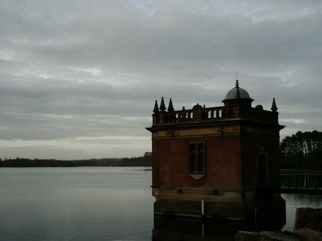
Swithland Reservoir

Swithland Reservoir is a reservoir in the English county of Leicestershire. It is north-east of the village of Swithland from which it takes its name...

Quorn, Leicestershire

Quorn () is a village and civil parish in Leicestershire, England, near the university town of Loughborough. Its name was shortened from Quorndon in 1889...

River Lin

The River Lin is a river which runs through North Leicestershire. The source of the river is in Ulverscroft, near Charnwood Forest. The river runs through...

Nearby Amenities

Located within 500m of 52.730131,-1.1585612
Power: tower
Source: Bing
Lat/Long: 52.7302711/-1.155376
Power: tower
Source: Bing
Lat/Long: 52.7274511/-1.1560305
Mountsorrel
Network: Mountsorrel Railway
Operator: Great Central Railway (plc)
Public Transport: station
Railway: station
Train: yes
Usage: tourism
Lat/Long: 52.7268895/-1.1540785
Power: tower
Lat/Long: 52.7324825/-1.1549061
Bench
Backrest: yes
Lat/Long: 52.7257072/-1.1580068
The data included in this document is from www.openstreetmap.org. The data is made available under ODbL.

Have you been to Cocklow Wood?

Leave your review of Cocklow Wood below (or comments, questions and feedback).