Ashes Wood
Wood, Forest in Nottinghamshire Bassetlaw
England
Ashes Wood
Ashes Wood is a picturesque woodland located in Nottinghamshire, England. Covering an area of approximately 150 acres, it forms part of the larger Sherwood Forest, which is famous for its association with the legendary outlaw, Robin Hood.
The wood is primarily composed of a mixture of broadleaf trees such as oak, birch, and beech, creating a diverse and vibrant ecosystem. The dense canopy provides a haven for a wide variety of wildlife, including birds, squirrels, and deer. Ashes Wood is particularly known for its abundance of bluebells, which create a stunning carpet of purple flowers during the spring months.
The woodland is crisscrossed by a network of well-maintained footpaths, allowing visitors to explore its natural beauty at their leisure. These trails are also popular among local residents for walking, jogging, and dog walking. In addition, there are several picnic areas scattered throughout the wood, providing a perfect spot for families and friends to enjoy a leisurely lunch surrounded by nature.
Ashes Wood holds historical significance as well, with remnants of ancient earthworks and ditches dating back to the medieval period. These features add an extra layer of intrigue to the wood, attracting history enthusiasts and archaeology buffs.
The wood is managed and maintained by the local authorities, ensuring its preservation for future generations to enjoy. With its stunning scenery, rich biodiversity, and historical significance, Ashes Wood is a beloved natural treasure in Nottinghamshire.
If you have any feedback on the listing, please let us know in the comments section below.
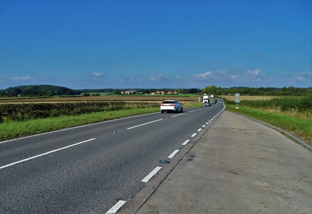
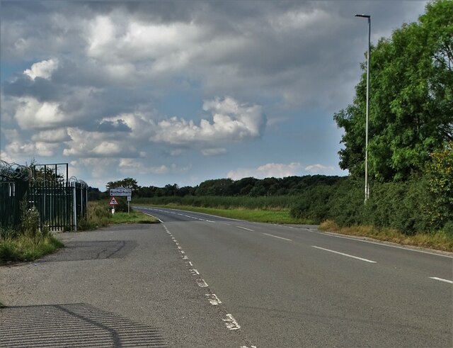
Ashes Wood Images
Images are sourced within 2km of 53.332783/-1.1476679 or Grid Reference SK5682. Thanks to Geograph Open Source API. All images are credited.


Ashes Wood is located at Grid Ref: SK5682 (Lat: 53.332783, Lng: -1.1476679)
Administrative County: Nottinghamshire
District: Bassetlaw
Police Authority: Nottinghamshire
What 3 Words
///crops.later.spits. Near Woodsetts, South Yorkshire
Nearby Locations
Related Wikis

Gateford
Gateford is a village in Nottinghamshire, England. It is located 1 mile north-west of Worksop and was first recorded by name as Gattef (meaning goats’...

Shireoaks
Shireoaks is a former pit village and civil parish in Nottinghamshire, located between Worksop and Thorpe Salvin on the border with South Yorkshire. The...
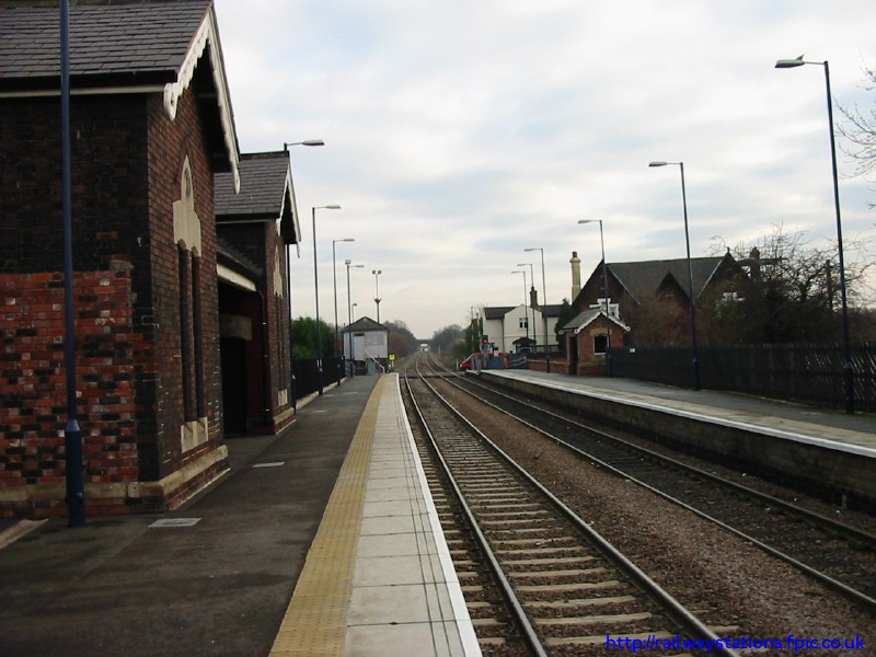
Shireoaks railway station
Shireoaks railway station serves the village of Shireoaks in Nottinghamshire, England. It was opened by the Sheffield and Lincolnshire Junction Railway...
Shireoaks Colliery
Shireoaks Colliery was a coal mine situated on the edge of the village of Shireoaks, near Worksop in North Nottinghamshire, close by the Yorkshire border...
1957 Ryder Cup
The 12th Ryder Cup Matches were held 4–5 October 1957 at Lindrick Golf Club near Worksop, England. The Great Britain team, led by captain Dai Rees, beat...
1960 Curtis Cup
The 11th Curtis Cup Match was played on 20 and 21 May 1960 at Lindrick Golf Club in Worksop, Nottinghamshire, England. The United States won by 61⁄2 matches...
Steetley Company Ground
Steetley Company Ground is a cricket ground in Shireoaks, Nottinghamshire, England. The ground was laid out in 1951 and the first important match on the...
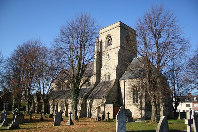
St Luke's Church, Shireoaks
St Luke's Church, Shireoaks is a Grade II listed Church of England parish church in Shireoaks, Nottinghamshire. == History == The church was built in a...
Nearby Amenities
Located within 500m of 53.332783,-1.1476679Have you been to Ashes Wood?
Leave your review of Ashes Wood below (or comments, questions and feedback).