Tickhill Holt

Wood, Forest in Yorkshire

England

Tickhill Holt

Stump Cross Lane
Stump Cross Lane Credit: Chris Morgan

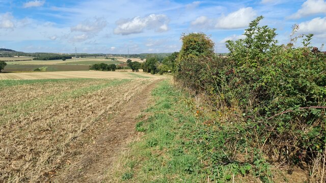
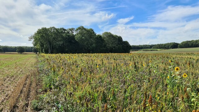
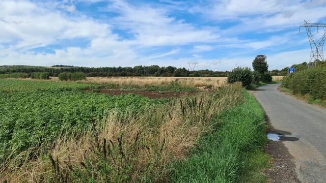
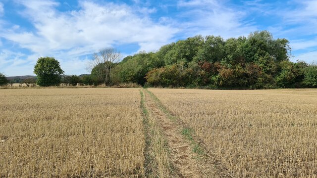
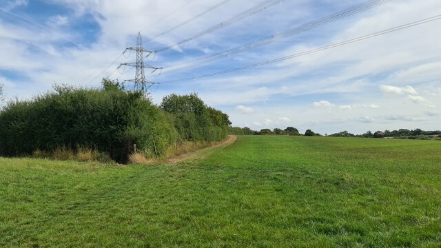
Located in the county of Yorkshire, Tickhill Holt is a picturesque woodland area known for its dense forests and natural beauty. Spread across a vast expanse, the holt is a haven for nature enthusiasts and provides a tranquil escape from the hustle and bustle of urban life.

Tickhill Holt boasts a diverse range of trees, including oak, beech, and birch, which form a dense canopy overhead. The forest floor is carpeted with a variety of flora, such as bluebells, ferns, and wild garlic, creating a vibrant and colorful landscape throughout the seasons.

The holt is home to a rich array of wildlife, making it a popular spot for birdwatchers and animal lovers. Visitors may catch a glimpse of deer, foxes, badgers, and various bird species, including woodpeckers and owls. The peaceful atmosphere of the woodland offers a unique opportunity to observe these creatures in their natural habitat.

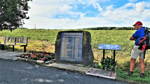
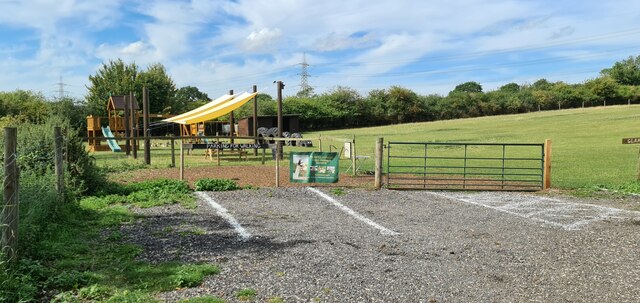
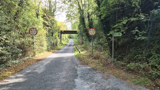
For those seeking outdoor activities, Tickhill Holt provides numerous walking trails and paths that wind through the forest. These routes offer a chance to explore the woodland's hidden nooks and crannies, providing breathtaking views and a sense of tranquility. The holt also features picnic areas and benches, inviting visitors to relax and enjoy a meal amidst the serene surroundings.

Overall, Tickhill Holt in Yorkshire exudes natural beauty and offers a tranquil haven for nature lovers. Its dense forests, diverse wildlife, and scenic walking trails make it a must-visit destination for those seeking solace in the heart of nature.

If you have any feedback on the listing, please let us know in the comments section below.

Tickhill Holt Images

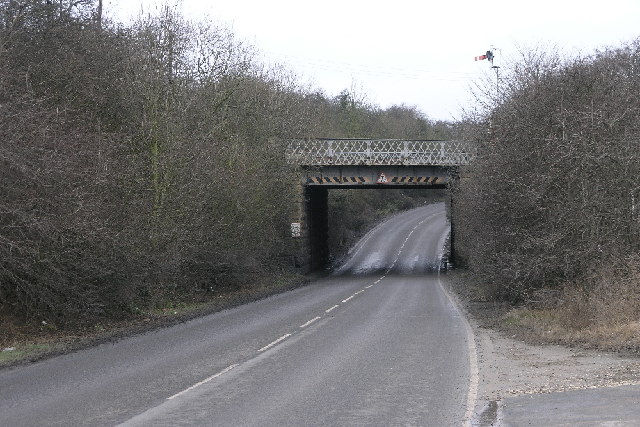
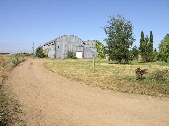
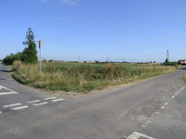
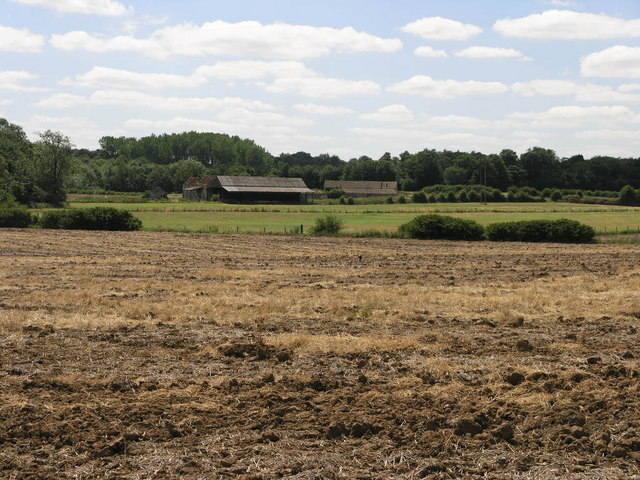
Images are sourced within 2km of 53.419509/-1.1465821 or Grid Reference SK5691. Thanks to Geograph Open Source API. All images are credited.

Stump Cross Lane
Stump Cross Lane
Blyth Gate Cottage Amidst the fields
Blyth Gate Cottage
Amidst the fields
Giant concrete 'Lego' brick Protects irrigation pipe by Blythgate Farm.
Giant concrete 'Lego' brick
Protects irrigation pipe by Blythgate Farm.
Path towards Stainton
Sunflowers by Cart House Holt
1923 Maltby Colliery Mining Disaster Memorial Unveiled in 2015 it marks the spot underground where 27 men died after an explosion on 28th July 1923. The full story here; <span class="nowrap"><a title="https://www.nmrs.org.uk/mines-map/accidents-disasters/yorkshire/maltby-main-colliery-explosion-maltby-1923/" rel="nofollow ugc noopener" href="https://www.nmrs.org.uk/mines-map/accidents-disasters/yorkshire/maltby-main-colliery-explosion-maltby-1923/">Link</a><img style="margin-left:2px;" alt="External link" title="External link - shift click to open in new window" src="https://s1.geograph.org.uk/img/external.png" width="10" height="10"/></span>
1923 Maltby Colliery Mining Disaster Memorial
Unveiled in 2015 it marks the spot underground where 27 men died after an explosion on 28th July 1923. The full story here; LinkExternal link
Limekiln Lane Approaching Stainton
Limekiln Lane
Approaching Stainton
Path through Stainton Bottoms
End of Hindley Lane
End of Hindley Lane
Glamping this way
Glamping this way
Tickhill Alpacas Glamping and walking
Tickhill Alpacas
Glamping and walking
Railway bridge across Apy Hill Lane The tracks have been lifted following closure of nearby Harworth Colliery. The low bridge remains a liability for the Strategic Rail Authority's successors to maintain and high road vehicles to avoid.
Railway bridge across Apy Hill Lane
The tracks have been lifted following closure of nearby Harworth Colliery. The low bridge remains a liability for the Strategic Rail Authority's successors to maintain and high road vehicles to avoid.
Old milestone In the last year this West Riding CC milestone has been uplifted, painted and fixed to a new backing stone.  It is on the A631 at the top of the hill just east of Blyth Gate Lane before reaching the outskirts of Tickhill.
Old milestone
In the last year this West Riding CC milestone has been uplifted, painted and fixed to a new backing stone. It is on the A631 at the top of the hill just east of Blyth Gate Lane before reaching the outskirts of Tickhill.
Old milestone Looking along the A631 towards Blyth Gate Lane, the new backing stone for the 1893/94 WRCC milestone can be appreciated.   Being on the narrow verge it does suffer from road splash on rainy days.
Old milestone
Looking along the A631 towards Blyth Gate Lane, the new backing stone for the 1893/94 WRCC milestone can be appreciated. Being on the narrow verge it does suffer from road splash on rainy days.
Railway Bridge This bridge carries the railway over Scotch Spring Lane.  The railway branches off at this point into Maltby Colliery.
Railway Bridge
This bridge carries the railway over Scotch Spring Lane. The railway branches off at this point into Maltby Colliery.
Big Grey Barns These two barns look almost as if they were former aircraft hangars.
Big Grey Barns
These two barns look almost as if they were former aircraft hangars.
Triangular Field This small triangular field is surrounded by two small lanes and at the far side the A631.
Triangular Field
This small triangular field is surrounded by two small lanes and at the far side the A631.
Abandoned Farm This farm looks as if it is abandoned now.  No doubt it will be converted into luxury living accommodation and its new tenants will then complain about the noise from the coal mine across the road.
Abandoned Farm
This farm looks as if it is abandoned now. No doubt it will be converted into luxury living accommodation and its new tenants will then complain about the noise from the coal mine across the road.
Show me another place!

Tickhill Holt is located at Grid Ref: SK5691 (Lat: 53.419509, Lng: -1.1465821)

Division: West Riding

Unitary Authority: Rotherham

Police Authority: South Yorkshire

What 3 Words

///perch.bands.cones. Near Stainton, South Yorkshire

Related Wikis

ROF Maltby

ROF Maltby was a Royal Ordnance Factory rifle manufacturing plant near Maltby, South Yorkshire which manufactured weapons such as the Lee–Enfield rifle...

Maltby railway station

Maltby railway station was located on the South Yorkshire Joint Railway (SYJR) on the eastern edge of Maltby, South Yorkshire, England. It opened 1910...

Maltby Main Colliery

The Maltby Main Colliery was a coal mine located 7 miles (11 km) east of Rotherham on the eastern edge of Maltby, South Yorkshire, England. The mine was...

Tickhill Friary

Tickhill Friary was an Augustinian friary in Tickhill, South Yorkshire, England. John Clarel, a canon of Southwell, founded it about 1260. It was dissolved...

Nearby Amenities

Located within 500m of 53.419509,-1.1465821
Power: pole
Lat/Long: 53.419538/-1.1390898
Power: pole
Lat/Long: 53.4203926/-1.1407617
Power: pole
Lat/Long: 53.4209315/-1.1417489
Power: pole
Lat/Long: 53.4218548/-1.1436117
Power: pole
Lat/Long: 53.4222142/-1.1507221
Power: pole
Lat/Long: 53.4226272/-1.1479327
Power: pole
Lat/Long: 53.4229227/-1.1456686
The data included in this document is from www.openstreetmap.org. The data is made available under ODbL.

Have you been to Tickhill Holt?

Leave your review of Tickhill Holt below (or comments, questions and feedback).