Nettle Copse
Wood, Forest in Oxfordshire Cherwell
England
Nettle Copse

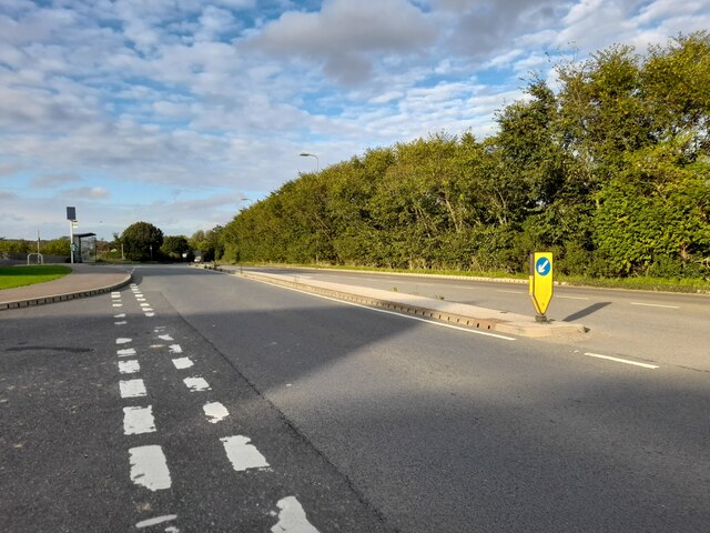
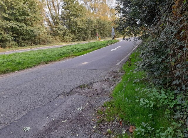
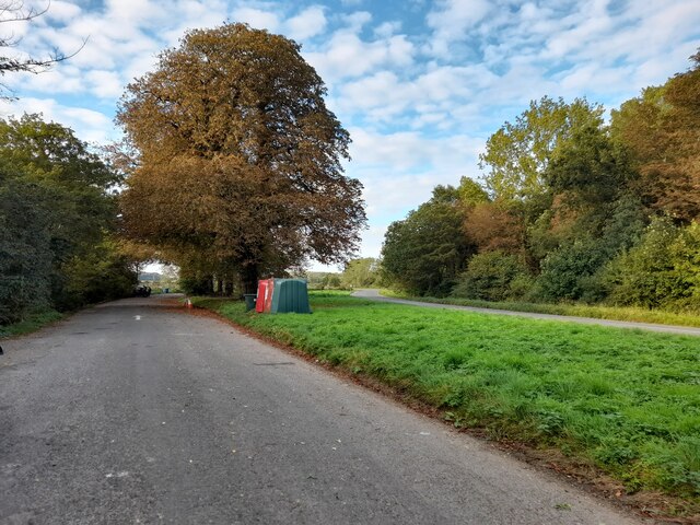
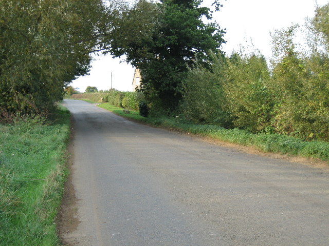
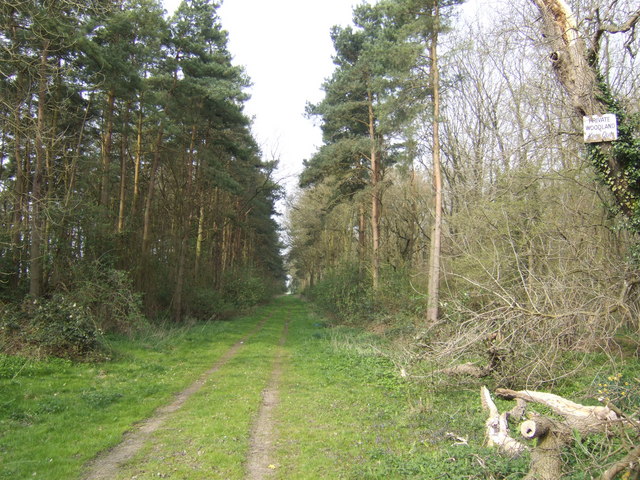
Nettle Copse is a charming woodland located in Oxfordshire, England. Covering an area of approximately 10 acres, it is situated on the outskirts of the village of Oxfordshire. The copse is known for its dense and vibrant collection of stinging nettle plants, which give it its name.
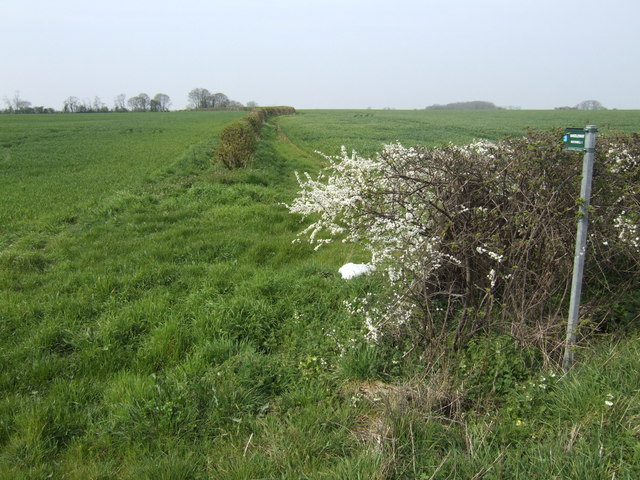
The woodland is predominantly composed of a mix of deciduous trees, including oak, beech, and ash. These tall and majestic trees provide a lush canopy, creating a cool and shaded environment beneath. The forest floor is covered with a thick layer of leaf litter, creating a natural carpet that is home to a variety of woodland plants, such as bluebells, wood sorrel, and wild garlic.
Nettle Copse is a haven for wildlife, attracting a diverse range of species. It is particularly known for its birdlife, with species such as the great spotted woodpecker, tawny owl, and nuthatch being commonly spotted. Small mammals like squirrels and foxes also call this woodland their home.
The copse is a popular destination for nature enthusiasts and walkers alike. It offers a network of well-maintained footpaths that wind through the trees, allowing visitors to explore the woodland and enjoy the tranquility it offers. The paths are surrounded by dense undergrowth, providing a sense of seclusion and privacy.
Nettle Copse is a delightful woodland retreat, offering a peaceful escape from the hustle and bustle of everyday life. With its rich biodiversity and natural beauty, it is a true gem within the Oxfordshire countryside.
If you have any feedback on the listing, please let us know in the comments section below.
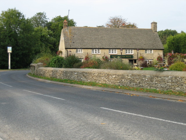
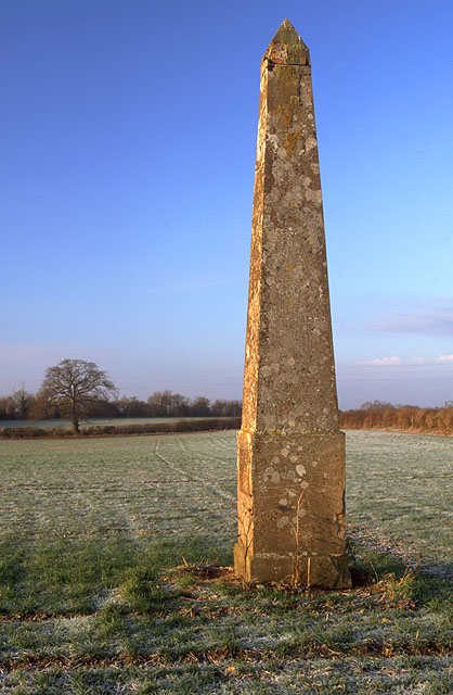
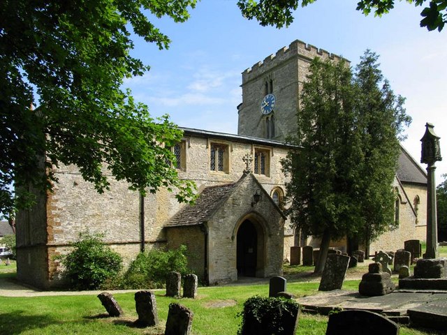
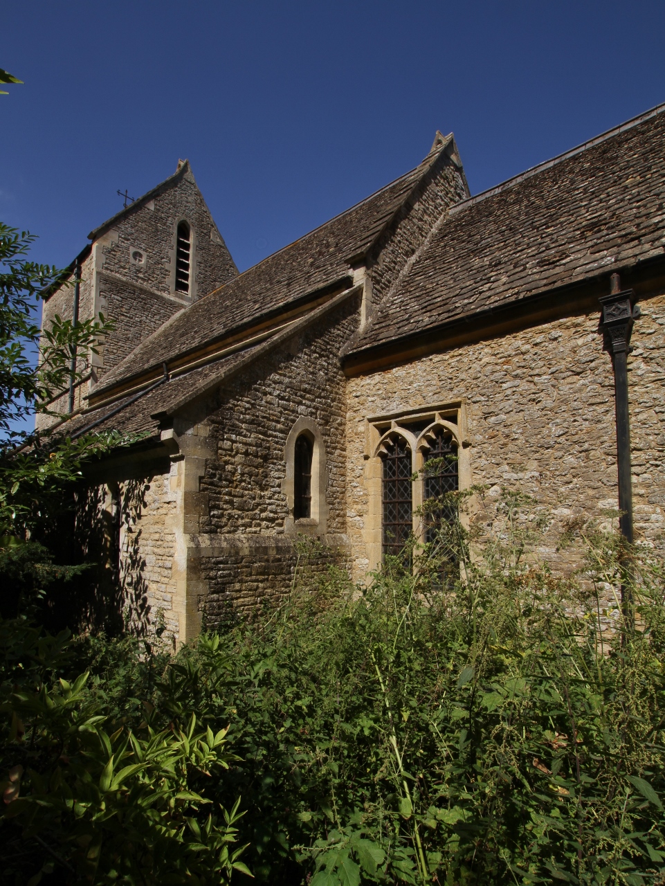
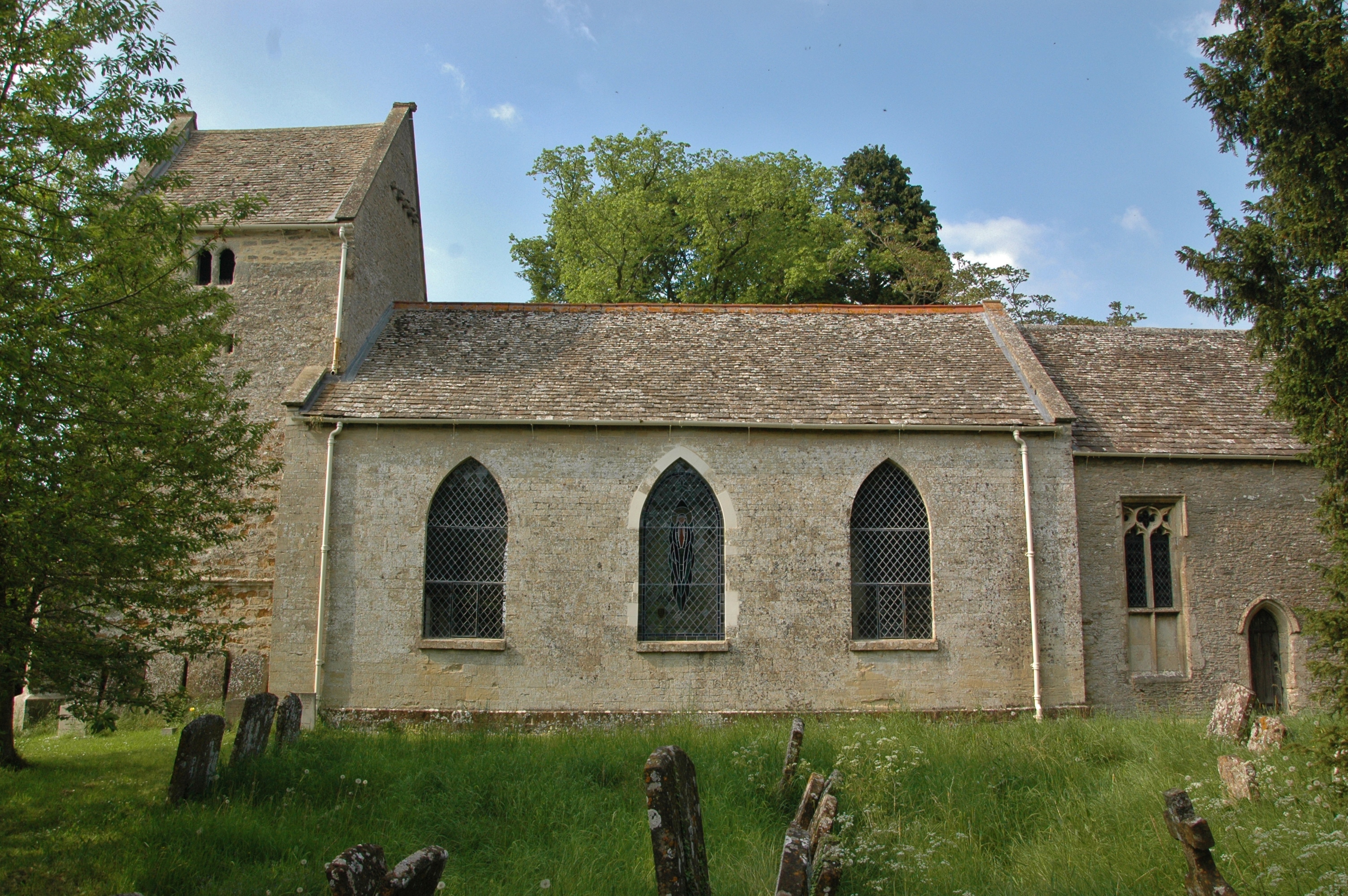
Nettle Copse Images
Images are sourced within 2km of 51.931305/-1.1752088 or Grid Reference SP5626. Thanks to Geograph Open Source API. All images are credited.


Nettle Copse is located at Grid Ref: SP5626 (Lat: 51.931305, Lng: -1.1752088)
Administrative County: Oxfordshire
District: Cherwell
Police Authority: Thames Valley
What 3 Words
///sparkle.reverted.surveyors. Near Bicester, Oxfordshire
Nearby Locations
Related Wikis
Bucknell, Oxfordshire
Bucknell is a village and civil parish 2+1⁄2 miles (4 km) northwest of Bicester in Oxfordshire, England. The 2011 Census recorded the parish's population...
Caversfield
Caversfield is a village and civil parish about 1+1⁄2 miles (2.4 km) north of the centre of Bicester. In 1844 Caversfield became part of Oxfordshire, but...

Bainton, Oxfordshire
Bainton is a hamlet comprising a cluster of farms in the civil parish of Stoke Lyne, about 3 miles (5 km) north of the centre of Bicester. == History... ==

Stoke Lyne
Stoke Lyne is a village and civil parish about 4 miles (6.4 km) north of Bicester, Oxfordshire in southern England. == Etymology == The name Stoke Lyne...

Cherwell Valley services
Cherwell Valley services is a motorway service station on the M40 motorway at Stoke Lyne, near Bicester, in Oxfordshire, England. In August 2011 it was...
Ardley, Oxfordshire
Ardley is a village and civil parish in Oxfordshire, England, about 4 miles (6.4 km) northwest of Bicester. The parish includes the village of Fewcott...

Bure Park
Bure Park is a 8.4-hectare (21-acre) Local Nature Reserve in Bicester in Oxfordshire. It is owned by Bicester Town Council and managed by Cherwell District...

Bicester Town F.C.
Bicester Town Football Club is a football club based in Bicester, Oxfordshire, England. == History == The club was established in 1873, a merger of Bicester...
Nearby Amenities
Located within 500m of 51.931305,-1.1752088Have you been to Nettle Copse?
Leave your review of Nettle Copse below (or comments, questions and feedback).