Hoggart's Plantation
Wood, Forest in Yorkshire Hambleton
England
Hoggart's Plantation
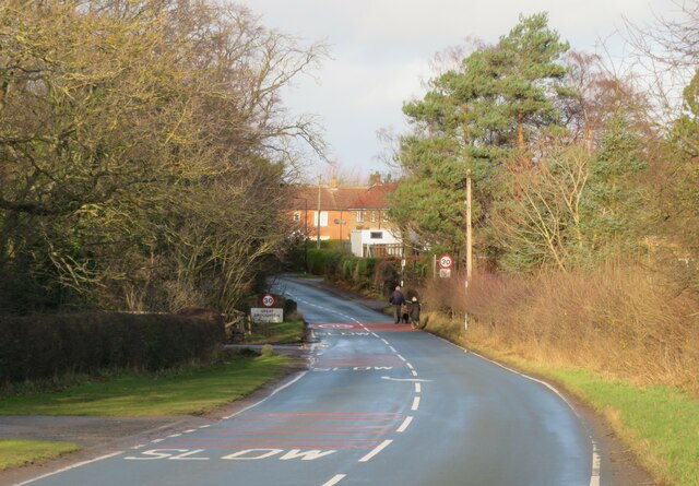
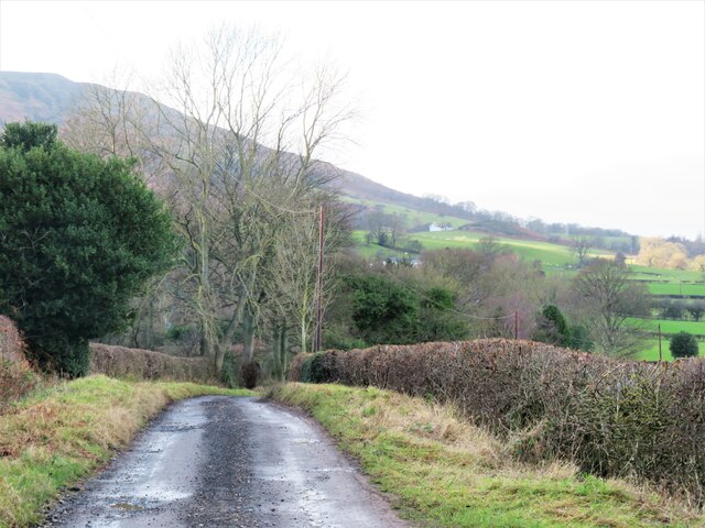
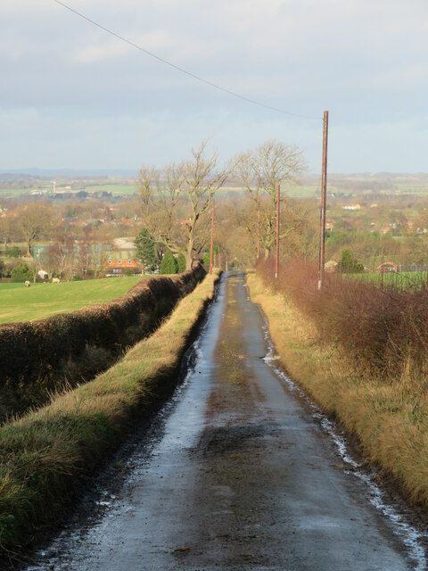
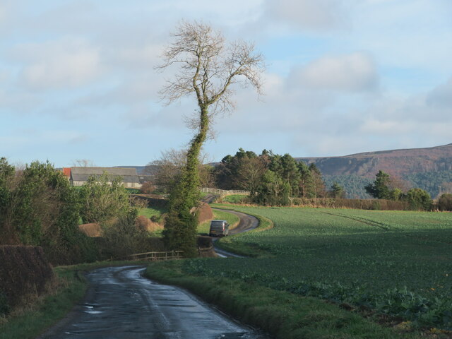
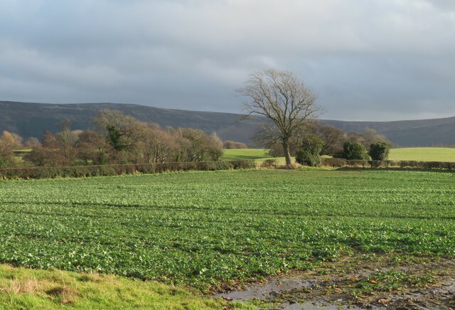
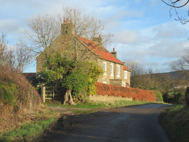
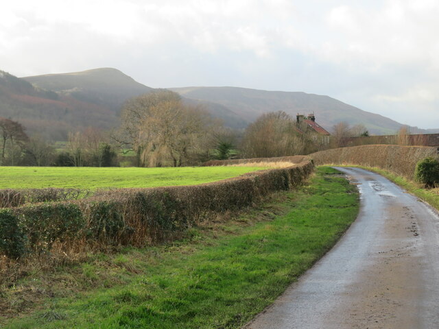
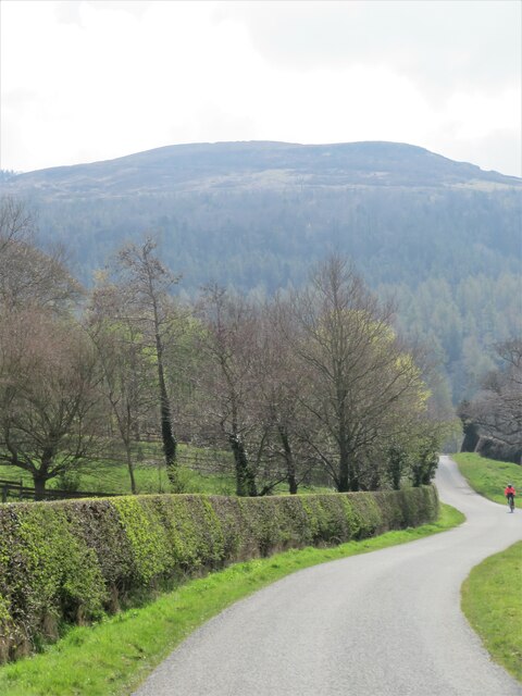
Hoggart's Plantation is a picturesque woodland located in Yorkshire, England. Situated in the heart of the county, this enchanting forest is known for its natural beauty and rich history. Covering an expansive area of land, Hoggart's Plantation is a popular destination for nature lovers, hikers, and those seeking a tranquil escape from the bustling city life.
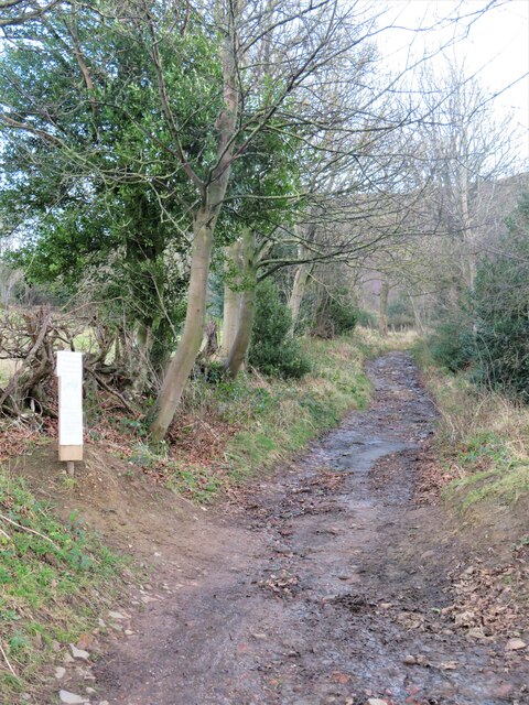
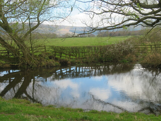
The woodland boasts a diverse range of trees, including oak, beech, and hazel, which create a dense canopy overhead, providing shade and shelter for the various animal species that call the plantation home. The forest floor is adorned with a vibrant display of wildflowers, adding splashes of color to the green landscape during the spring and summer months.
Visitors to Hoggart's Plantation can explore its many walking trails, which wind through the forest, offering stunning views of the surrounding countryside. The plantation is also home to an array of wildlife, such as deer, foxes, and a variety of bird species, making it a haven for nature enthusiasts and birdwatchers.
The history of Hoggart's Plantation dates back centuries, with records showing its existence as far back as the Middle Ages. The woodland was originally used for timber production and hunting grounds for the local nobility. Today, the plantation is managed by the Yorkshire Forestry Commission, ensuring the preservation of its natural beauty and cultural heritage.
With its idyllic setting, diverse flora and fauna, and rich history, Hoggart's Plantation is a must-visit destination for anyone seeking a peaceful retreat in the heart of Yorkshire.
If you have any feedback on the listing, please let us know in the comments section below.
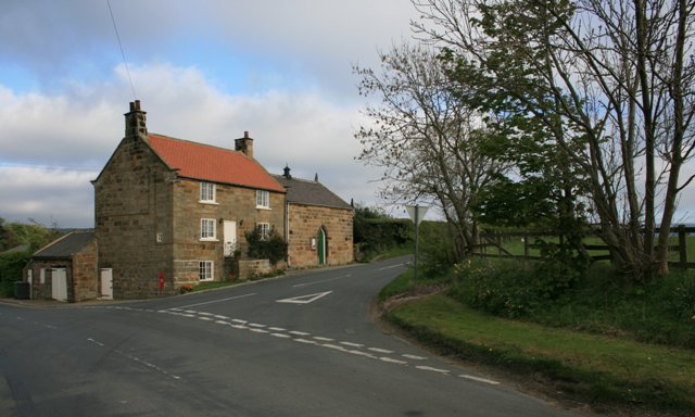
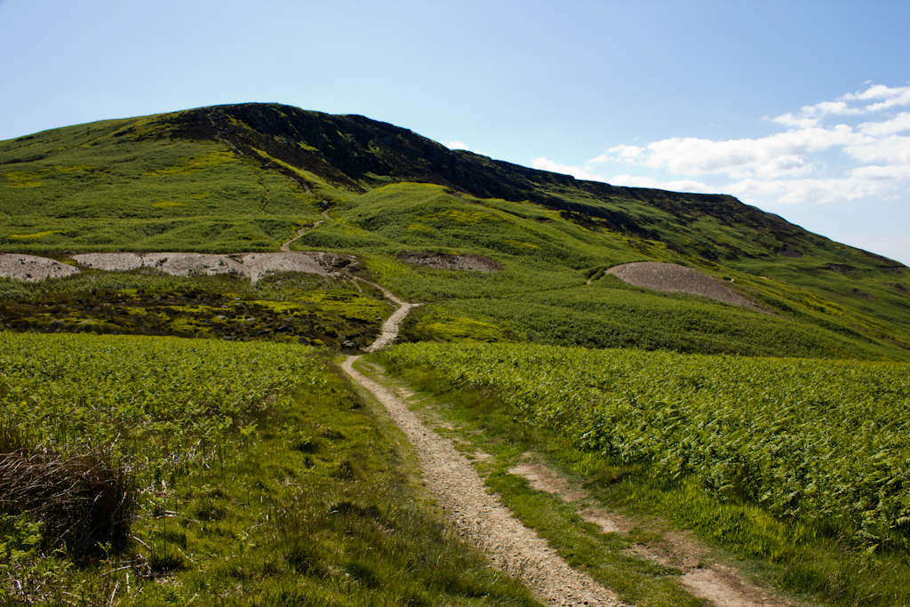
Hoggart's Plantation Images
Images are sourced within 2km of 54.439316/-1.125741 or Grid Reference NZ5605. Thanks to Geograph Open Source API. All images are credited.


Hoggart's Plantation is located at Grid Ref: NZ5605 (Lat: 54.439316, Lng: -1.125741)
Division: North Riding
Administrative County: North Yorkshire
District: Hambleton
Police Authority: North Yorkshire
What 3 Words
///croaking.smelter.probe. Near Ingleby Greenhow, North Yorkshire
Nearby Locations
Related Wikis

Ingleby Greenhow
Ingleby Greenhow is a village and civil parish in the Hambleton district of North Yorkshire, England. It is on the border of the North York Moors and 3...

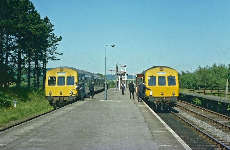
Ingleby railway station
Ingleby railway station was a railway station built to serve the village of Ingleby Greenhow in North Yorkshire, England. The station was on the North...
Great Broughton, North Yorkshire
Great Broughton is a village in the Great and Little Broughton civil parish of the Hambleton district of North Yorkshire in northern England. == History... ==

Battersby
Battersby is a hamlet in North Yorkshire, England. It lies on the edge of the North York Moors National Park and within the historic boundaries of the...
Battersby railway station
Battersby is a railway station on the Esk Valley Line, which runs between Middlesbrough and Whitby via Nunthorpe. The station, situated 11 miles 4 chains...

Kirkby, North Yorkshire
Kirkby (historically known as Kirkby-in-Cleveland) is a village and civil parish in Hambleton district of North Yorkshire, England, near Great Busby and...
Easby, Hambleton
Easby is a village and civil parish in Hambleton District of North Yorkshire, England. It lies approximately 2 miles (3.2 km) south-east of Great Ayton...
Cringle Moor
Cringle Moor (also known as Cranimoor), at 432 m (1,417 ft), is the third highest hill in the North York Moors, England, and the highest point west of...
Related Videos

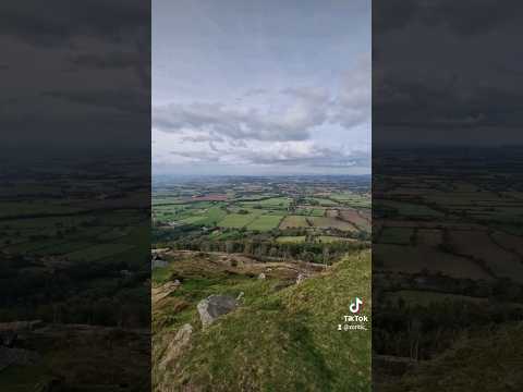
Exploring the Wainstones: A North Yorkshire Hiking Adventure! | 4K
https://www.youtube.com/watch?v=SsrlOh2vS08 Click above to watch previous video. Click SUBSCRIBE to see more of my ...

Hiking to The Wainstones
Join us on a hike on a windy and cloudy day to The Wainstones in middlesbrough UK. #thewrights #hiking #britishcountryside ...

Trail Walking, Wainstones, North Yorkshire, UK.
Here we are, Walking a section of the Cleveland Way route. Walking upto and around the Wainstones on 01/01/2023.
Views!👌 #hiking #shorts
hiking #outdoors #zcritic #northyorkshire Click SUBSCRIBE to see more of my Videos & don't forget to click that LIKE button!
Nearby Amenities
Located within 500m of 54.439316,-1.125741Have you been to Hoggart's Plantation?
Leave your review of Hoggart's Plantation below (or comments, questions and feedback).