An Dùn Beag
Settlement in Argyllshire
Scotland
An Dùn Beag
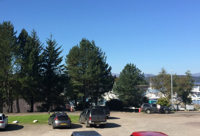
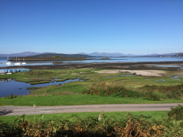
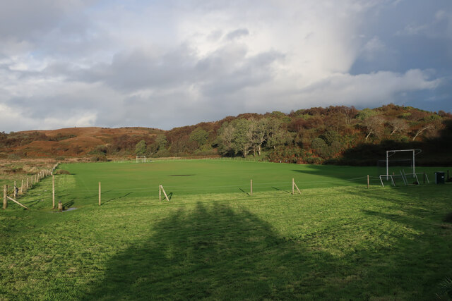
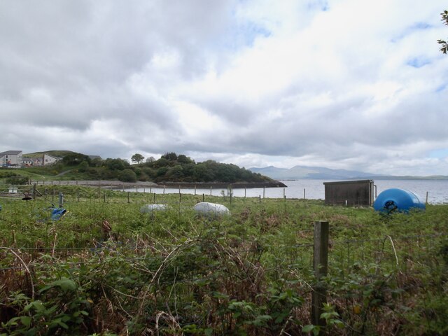
An Dùn Beag, also known as Dun Bheag, is a small village located in the county of Argyllshire, Scotland. Situated on the western coast of the country, it offers breathtaking views of the Atlantic Ocean and neighboring islands. The village is nestled between rolling hills and lush green fields, creating a picturesque setting.
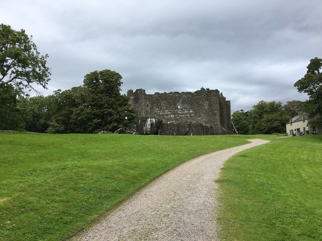
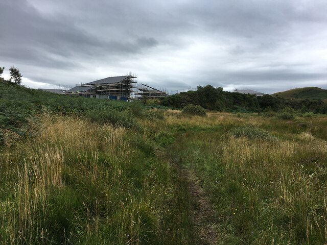
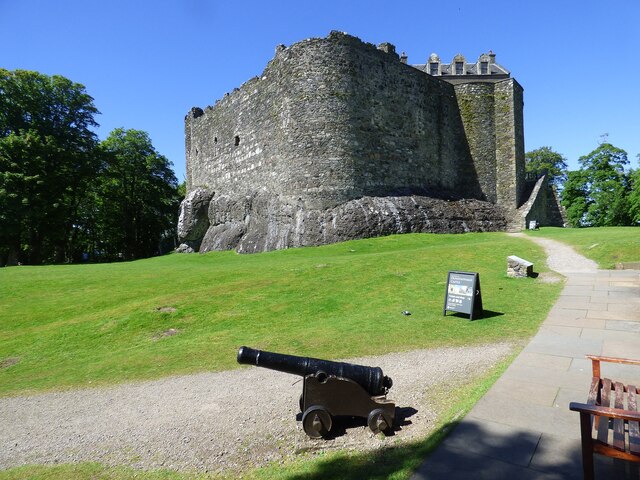
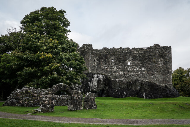
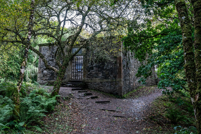
An Dùn Beag is known for its rich history, with evidence of human settlements dating back thousands of years. The village is home to an ancient stone fort, from which it takes its name. The Dun Beag fort is a well-preserved structure that provides insights into the lives of the people who once inhabited the area.
The village itself is small and charming, with a tight-knit community that takes pride in its Scottish heritage. Traditional Gaelic culture is still prevalent, and visitors can often hear the melodious sounds of Gaelic songs and music emanating from local gatherings. The residents are warm and welcoming, making it a delightful place to visit.
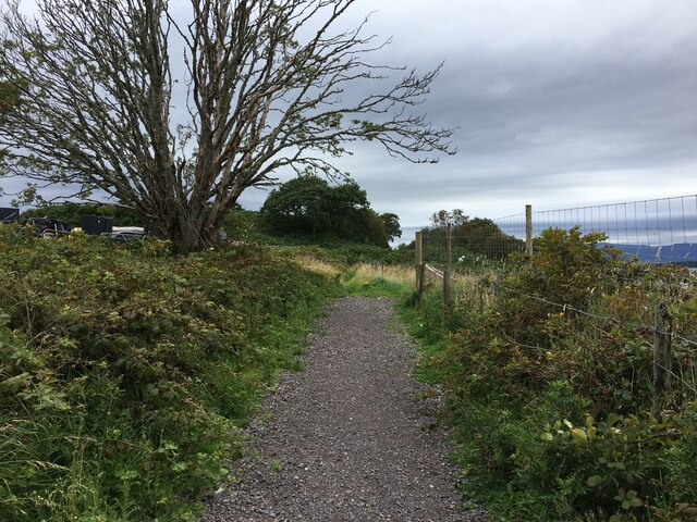
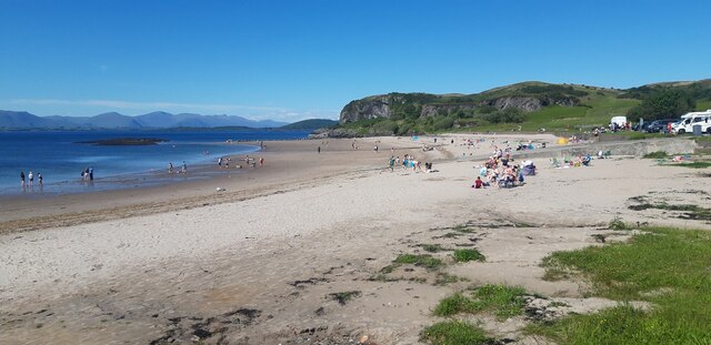
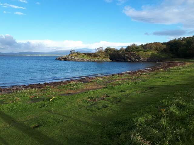
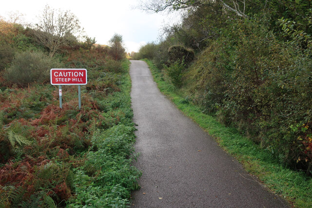
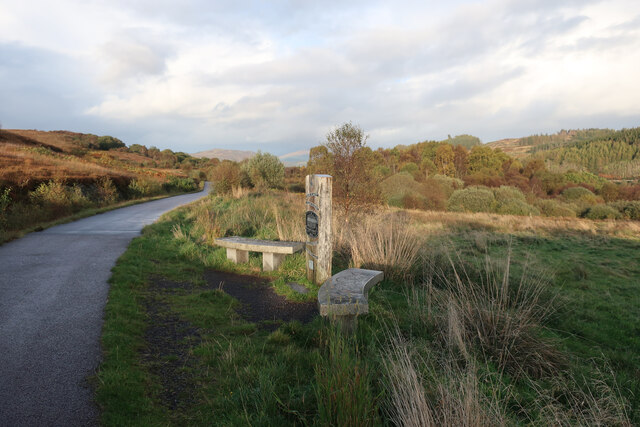
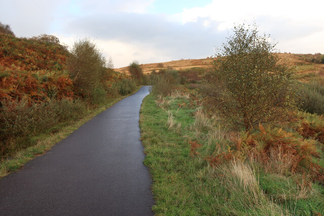
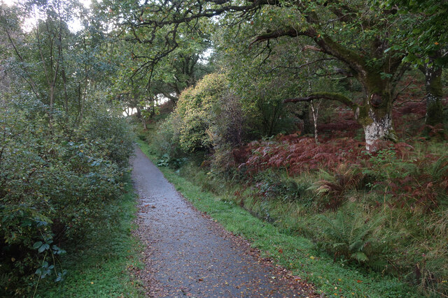
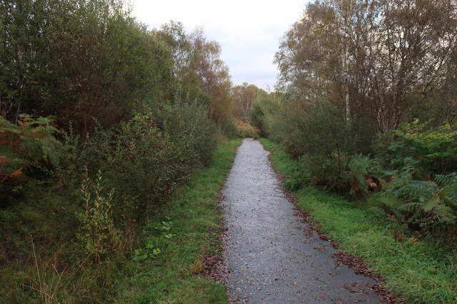
Nature enthusiasts will find plenty to explore in and around An Dùn Beag. The surrounding area is dotted with walking trails, offering stunning panoramas of the rugged coastline and the nearby islands of Mull and Tiree. Wildlife is abundant, with opportunities to spot seals, otters, and a variety of bird species.
For those seeking tranquility and a break from the hustle and bustle of modern life, An Dùn Beag offers a perfect retreat. Its natural beauty, rich history, and close-knit community make it an idyllic destination for visitors looking to immerse themselves in the beauty of rural Scotland.
If you have any feedback on the listing, please let us know in the comments section below.
An Dùn Beag Images
Images are sourced within 2km of 56.445493/-5.439556 or Grid Reference NM8833. Thanks to Geograph Open Source API. All images are credited.

An Dùn Beag is located at Grid Ref: NM8833 (Lat: 56.445493, Lng: -5.439556)
Unitary Authority: Argyll and Bute
Police Authority: Argyll and West Dunbartonshire
Also known as: Dunbeg, Dunstaffnage
What 3 Words
///hotspot.automate.trifling. Near Oban, Argyll & Bute
Nearby Locations
Related Wikis
Dunbeg
Dunbeg (Scottish Gaelic: An Dùn Beag), formerly known as Dunstaffnage (Scottish Gaelic: Dùn Stafhainis or Dùn Staidhinis), is a village about 2+1⁄2 miles...

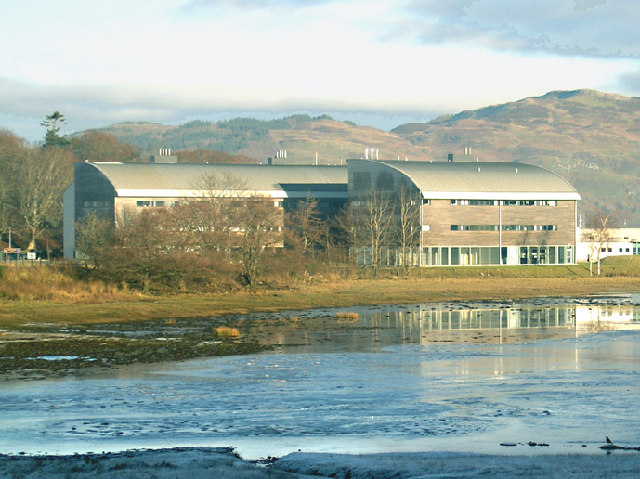
Scottish Association for Marine Science
The Scottish Association for Marine Science (SAMS) is one of Europe's leading marine science research organisations, one of the oldest oceanographic organisations...

Pennyfuir Cemetery
Pennyfuir Cemetery is a cemetery in Oban, Argyll and Bute, Scotland. It was established in the 19th century.The cemetery contains 23 graves from the First...
Ganavan
Ganavan (Scottish Gaelic: A' Ghaineamh Bhàn) is a small settlement on Ganavan Bay on the west coast of Scotland, around 1.5 miles (2.4 km) north of the...
North Connel
North Connel is a hamlet on the north side of Loch Etive in Argyll and Bute, Scotland. Connel Bridge connects the community to Connel on the south shore...

Oban Airport
Oban Airport (Scottish Gaelic: Port-adhair an Òbain) (IATA: OBN, ICAO: EGEO) is located 5 nautical miles (9.3 km; 5.8 mi) northeast of Oban, near the village...

Connel Bridge
Connel Bridge is a cantilever bridge that spans Loch Etive at Connel in Scotland. The bridge takes the A828 road across the narrowest part of the loch...

North Connel railway station
North Connel was a railway station located in North Connel, Argyll and Bute, on the north shore of Loch Etive. Its location was at the north end of Connel...
Nearby Amenities
Located within 500m of 56.445493,-5.439556Have you been to An Dùn Beag?
Leave your review of An Dùn Beag below (or comments, questions and feedback).