Beech Copse
Wood, Forest in Hampshire Winchester
England
Beech Copse

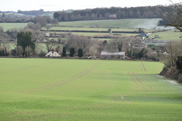
Beech Copse is a picturesque woodland located in Hampshire, England. Situated within the beautiful countryside, this forest is a haven for nature enthusiasts and outdoor lovers alike. Covering an area of approximately 50 acres, Beech Copse is characterized by its dense growth of beech trees, creating a stunning canopy that provides shade and shelter to a variety of flora and fauna.
The forest is easily accessible, with well-maintained footpaths that meander through the woodland, allowing visitors to explore and appreciate the natural beauty of the area. As one walks through Beech Copse, the air is filled with the earthy scent of moss and leaves, enhancing the immersive experience.
The forest floor is adorned with a carpet of wildflowers, including bluebells, wood anemones, and primroses, which add vibrant pops of color to the woodland. These floral displays attract a wealth of wildlife, including butterflies, bees, and birds, making Beech Copse a prime location for birdwatching and insect spotting.
The diversity of habitats within Beech Copse ensures a rich biodiversity. Numerous species of mammals, such as deer, foxes, and badgers, call this woodland home. Additionally, the forest is also home to a variety of bird species, including woodpeckers, owls, and warblers.
Beech Copse is a tranquil oasis where visitors can escape the hustle and bustle of everyday life and immerse themselves in the serene beauty of nature. Whether it be for a leisurely stroll, a picnic, or wildlife observation, this enchanting forest offers a peaceful retreat for all who visit.
If you have any feedback on the listing, please let us know in the comments section below.
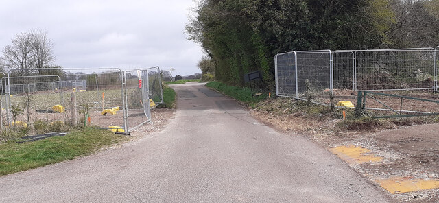
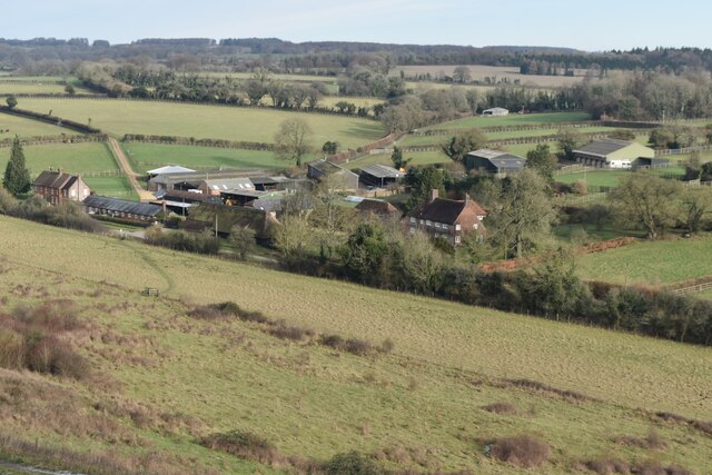
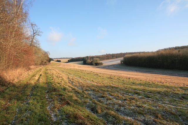
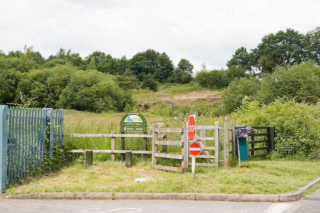
Beech Copse Images
Images are sourced within 2km of 50.981238/-1.1932763 or Grid Reference SU5620. Thanks to Geograph Open Source API. All images are credited.


Beech Copse is located at Grid Ref: SU5620 (Lat: 50.981238, Lng: -1.1932763)
Administrative County: Hampshire
District: Winchester
Police Authority: Hampshire
What 3 Words
///clef.orchids.sympathy. Near Bishops Waltham, Hampshire
Nearby Locations
Related Wikis

Galley Down Wood
Galley Down Wood is a 16.6-hectare (41-acre) biological Site of Special Scientific Interest north-east of Bishop's Waltham in Hampshire.This wood, which...
Betty Mundy's Bottom
Betty Mundy's Bottom is a wooded valley in the South Downs of Hampshire. There are a variety of folk tales about the name, which goes back centuries....

Dundridge Meadows
Dundridge Meadows is a 7.5-hectare (19-acre) Local Nature Reserve near Bishop's Waltham in Hampshire. It is owned by Hampshire County Council and managed...

Preshaw
Preshaw (variously named Presshawe, Presthawe, and Preishawe in old documents) is a manor to the north of Corhampton in the United Kingdom. In the 19th...
Claylands
Claylands is a 5.8-hectare (14-acre) Local Nature Reserve in Bishop's Waltham in Hampshire. It is owned by Hampshire County Council and managed by Hampshire...

Bishop's Waltham
Bishop's Waltham (or Bishops Waltham) is a medieval market town situated at the source of the River Hamble in Hampshire, England. It has a foot in the...

Bishop's Waltham Palace
Bishop's Waltham Palace is a moated Bishop's Palace ruin in Bishop's Waltham, Hampshire, England. It is a scheduled ancient monument and a Grade II* listed...
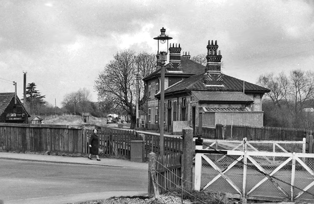
Bishops Waltham railway station
Bishops Waltham railway station was a railway station in Bishop's Waltham, Hampshire, England. The station was the terminus of the 3.75 mile branch line...
Nearby Amenities
Located within 500m of 50.981238,-1.1932763Have you been to Beech Copse?
Leave your review of Beech Copse below (or comments, questions and feedback).