Claythwaite Wood
Wood, Forest in Yorkshire Ryedale
England
Claythwaite Wood
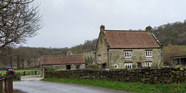
Claythwaite Wood is a picturesque woodland located in Yorkshire, England. Situated in the heart of the county, it covers an area of approximately 50 acres and is renowned for its natural beauty and abundant wildlife.
The wood is primarily composed of native deciduous trees, including oak, beech, and birch, which create a dense canopy, providing shade and shelter for the diverse flora and fauna that inhabit the area. The forest floor is carpeted with an array of wildflowers, such as bluebells and primroses, which bloom in bright colors during the spring.
Trails wind through the wood, allowing visitors to explore its enchanting surroundings. The paths are well-maintained, making it accessible for walkers and nature enthusiasts of all ages. Along the way, there are several designated viewing points that offer stunning vistas of the surrounding countryside.
The wood is also home to a variety of wildlife. Birdwatchers can spot species such as woodpeckers, nuthatches, and owls, while lucky visitors may even catch a glimpse of deer or foxes. The diverse ecosystem in Claythwaite Wood supports a wide range of insects, including butterflies and dragonflies.
In addition to its natural beauty, Claythwaite Wood is also an important site for conservation. Efforts have been made to preserve and protect the woodland, ensuring the long-term survival of its unique ecosystem.
Overall, Claythwaite Wood is a tranquil and captivating destination for anyone seeking solace in nature. Its rich biodiversity and stunning landscapes make it a must-visit location for both locals and tourists alike.
If you have any feedback on the listing, please let us know in the comments section below.
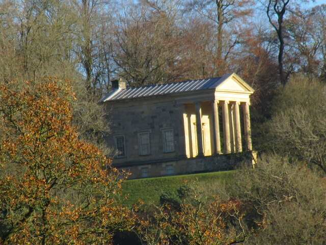
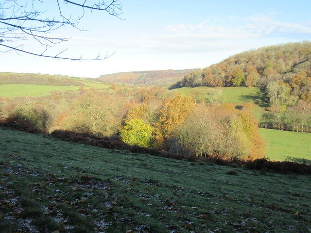
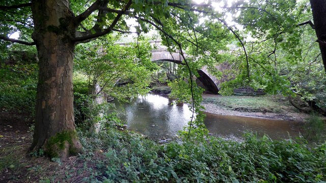
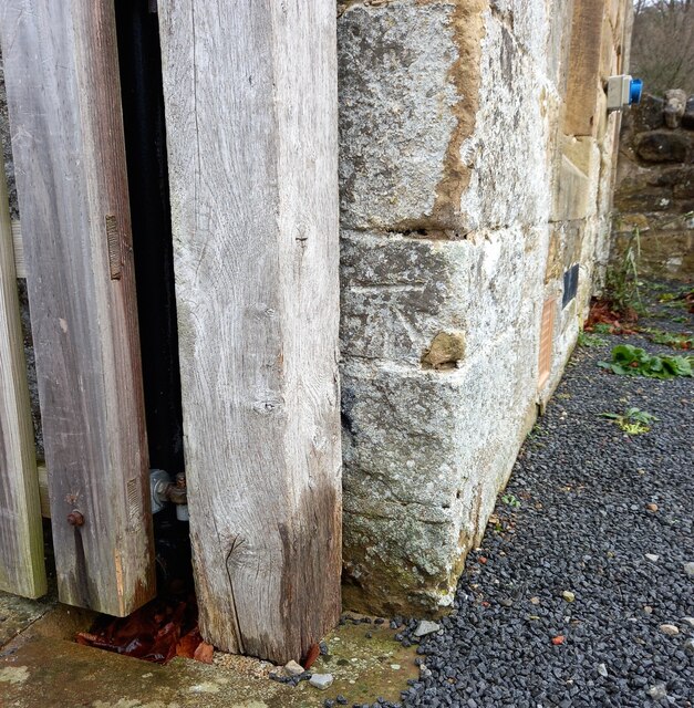
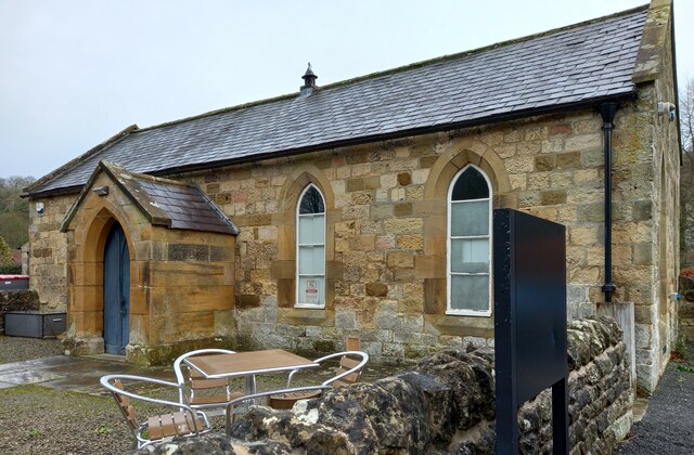
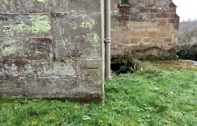
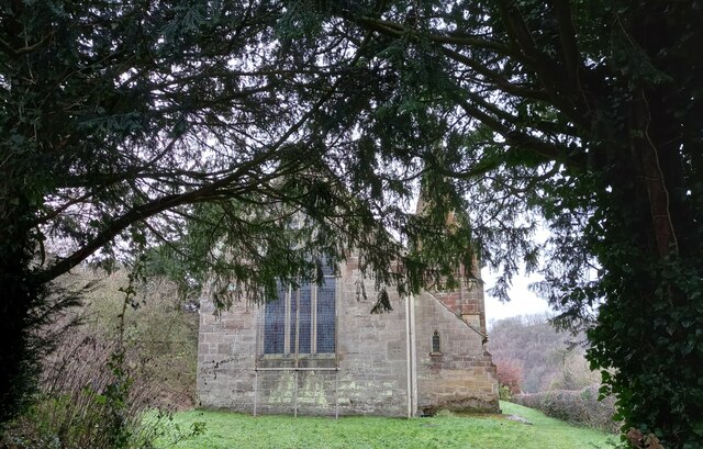
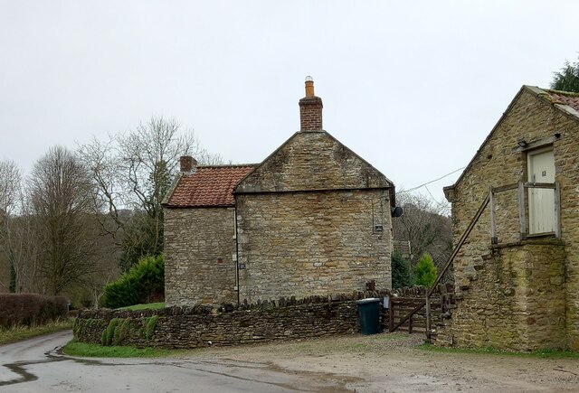
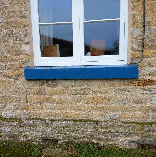
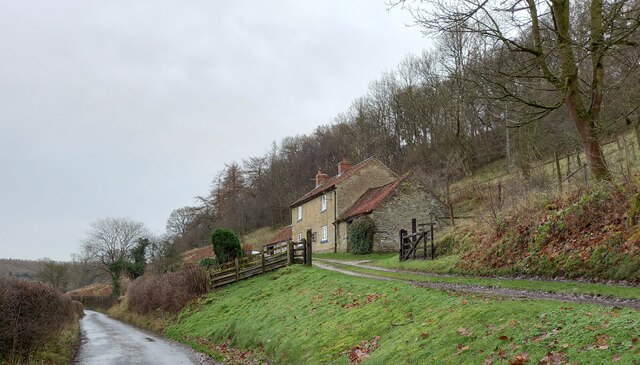
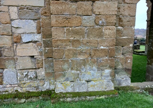
Claythwaite Wood Images
Images are sourced within 2km of 54.248098/-1.131891 or Grid Reference SE5683. Thanks to Geograph Open Source API. All images are credited.
Claythwaite Wood is located at Grid Ref: SE5683 (Lat: 54.248098, Lng: -1.131891)
Division: North Riding
Administrative County: North Yorkshire
District: Ryedale
Police Authority: North Yorkshire
What 3 Words
///tumblers.rationing.ground. Near Helmsley, North Yorkshire
Nearby Locations
Related Wikis

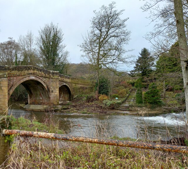
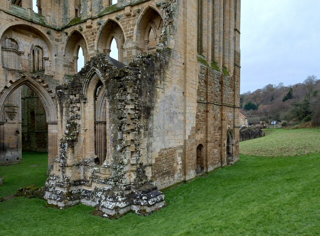
Rievaulx Abbey
Rievaulx Abbey ( ree-VOH) was a Cistercian abbey in Rievaulx, near Helmsley, in the North York Moors National Park, North Yorkshire, England. It was one...

Rievaulx
Rievaulx (usually pronounced REE-voh) is a small village and civil parish in Rye Dale within the North York Moors National Park near Helmsley in North...

Swiss Cottage, Rievaulx
Swiss Cottage is a Grade II listed building in the English village of Rievaulx, North Yorkshire. It dates to at least the 17th century, with earlier origins...

Old Byland and Scawton
Old Byland and Scawton is a civil parish in the Ryedale district, in the county of North Yorkshire, England. The parish includes the villages of Old Byland...

Rievaulx Terrace
Rievaulx Terrace is a site located in the North York Moors National Park, in North Yorkshire, England, overlooking Rievaulx Abbey and owned by the National...

Scawton
Scawton is a village and former civil parish in North Yorkshire, England. The hamlet lies just east of Sutton Bank, north of the A170 road, and 5 miles...

Ryedale Windypits
The Ryedale Windypits are archaeologically significant natural underground features within the North York Moors National Park. This series of fissures...

Battle of Old Byland
The Battle of Old Byland (also known as the Battle of Byland Abbey, the Battle of Byland Moor and the Battle of Scotch Corner) was a significant encounter...
Nearby Amenities
Located within 500m of 54.248098,-1.131891Have you been to Claythwaite Wood?
Leave your review of Claythwaite Wood below (or comments, questions and feedback).