Whicher's Copse
Wood, Forest in Hampshire Winchester
England
Whicher's Copse

Whicher's Copse is a dense woodland located in Hampshire, England. Covering an area of approximately 100 acres, this copse is renowned for its natural beauty and biodiversity. It is situated in the heart of the South Downs National Park, making it a popular destination for nature enthusiasts and hikers.
The copse consists mainly of broadleaf trees, including oak, beech, and ash, which provide a dense canopy of foliage. This creates a cool and shaded environment, perfect for a leisurely stroll or a peaceful picnic. The forest floor is covered in a rich carpet of ferns, bluebells, and wildflowers, adding bursts of color to the dense greenery.
Whicher's Copse is home to a diverse range of wildlife, including deer, foxes, rabbits, and a variety of bird species. Birdwatchers can spot woodpeckers, owls, and thrushes among the trees, while the lucky visitor may even catch a glimpse of a rare red kite soaring above the canopy.
Several well-marked trails wind their way through the copse, allowing visitors to explore its hidden corners and discover its natural treasures. These paths are suitable for all fitness levels, with options for shorter walks or longer hikes. Interpretive signs along the trails provide information about the copse's flora and fauna, enhancing the educational experience.
Whicher's Copse is easily accessible, with a large car park and nearby public transportation options. It is a peaceful retreat away from the hustle and bustle of everyday life, offering visitors a chance to reconnect with nature and enjoy the tranquility of this stunning woodland.
If you have any feedback on the listing, please let us know in the comments section below.
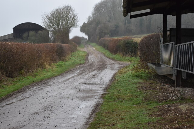
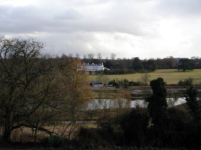
Whicher's Copse Images
Images are sourced within 2km of 51.067874/-1.1937982 or Grid Reference SU5630. Thanks to Geograph Open Source API. All images are credited.


Whicher's Copse is located at Grid Ref: SU5630 (Lat: 51.067874, Lng: -1.1937982)
Administrative County: Hampshire
District: Winchester
Police Authority: Hampshire
What 3 Words
///clasps.essays.porridge. Near New Alresford, Hampshire
Nearby Locations
Related Wikis

Tichborne
Tichborne is a village and civil parish 4 miles (6.4 km) east of Winchester in Hampshire, England. == History == In archaeology in the south of the parish...
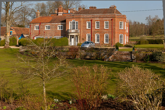
Ovington House
Ovington House is a late 18th century house in Ovington, Hampshire. == History == The house was built for James Standerwick. It was inherited by his daughter...
River Alre
The River Alre (also, occasionally, Arle) is a tributary of the River Itchen in Hampshire in the south of England. It rises in Bishop's Sutton and flows...

Itchen Stoke and Ovington
Itchen Stoke and Ovington () is an English civil parish consisting of two adjoining villages in Hampshire, England, 2 miles (3.2 km) west of Alresford...
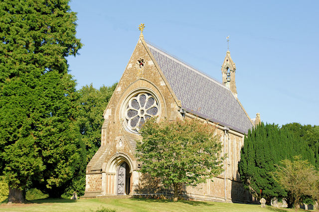
St Mary's Church, Itchen Stoke
St Mary, Itchen Stoke, Hampshire, is a redundant Anglican church in the parish of Itchen Stoke and Ovington. It has been designated by English Heritage...

Cheriton, Hampshire
Cheriton is a village and civil parish near Alresford in Hampshire, England. The settlement is close to the site of the 1644 Battle of Cheriton, fought...

Alresford Town F.C.
Alresford Town Football Club is a football club based in New Alresford, Hampshire, England. Affiliated to the Hampshire FA, they are currently members...
Capital South Coast
Capital South Coast was a regional radio station owned by operated by Global Radio as part of the Capital radio network. It broadcast to Hampshire from...
Nearby Amenities
Located within 500m of 51.067874,-1.1937982Have you been to Whicher's Copse?
Leave your review of Whicher's Copse below (or comments, questions and feedback).