Apsecastle Wood

Wood, Forest in Hampshire

England

Apsecastle Wood

Sandown Bay As viewed from Shanklin Down. Shanklin is in the foreground, Sandown in the centre near the pier and Culver Cliff bringing up the furthest point of the cliffs.
Sandown Bay Credit: Simon Carey

Apsecastle Wood, located in the county of Hampshire, is a picturesque woodland area encompassing approximately X hectares of land. Situated in the southern part of England, this serene forest offers visitors a tranquil and immersive experience in nature.

The wood is known for its diverse range of tree species, including oak, beech, and ash, which form a dense canopy that provides shade and shelter to a myriad of wildlife. The forest floor is adorned with a rich carpet of flora, including bluebells, primroses, and ferns, adding to the enchanting atmosphere of the wood.

Apsecastle Wood is home to a variety of fauna, making it a popular destination for wildlife enthusiasts. The woods are teeming with birdlife, such as woodpeckers, tawny owls, and various songbirds. Visitors may also spot mammals such as foxes, badgers, and deer, which roam freely within the forest.

The wood offers several walking trails and footpaths, allowing visitors to explore its natural beauty at their own pace. These trails meander through the forest, leading visitors to hidden clearings, babbling brooks, and secluded picnic spots. The soothing sounds of rustling leaves and chirping birds create a sense of peace and tranquility throughout the woodland.

Apsecastle Wood is a haven for nature lovers and provides an opportunity to escape the hustle and bustle of everyday life. With its diverse flora and fauna, this Hampshire woodland offers a captivating and immersive experience for those seeking solace in nature's embrace.

If you have any feedback on the listing, please let us know in the comments section below.

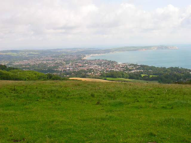
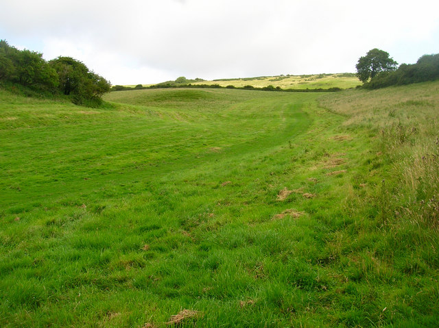
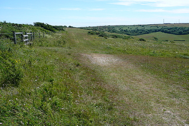
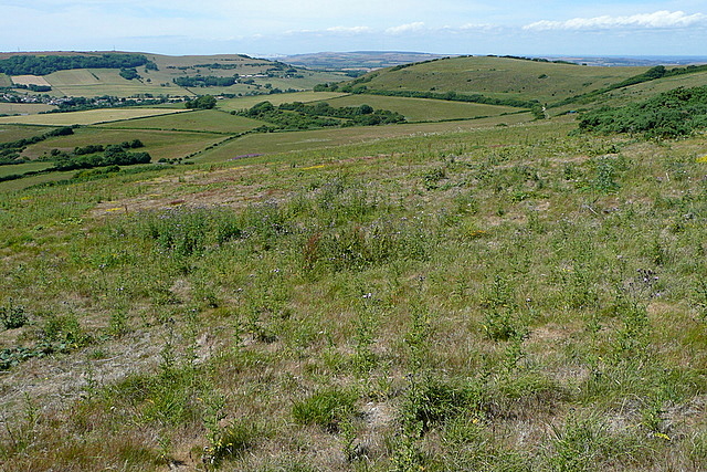
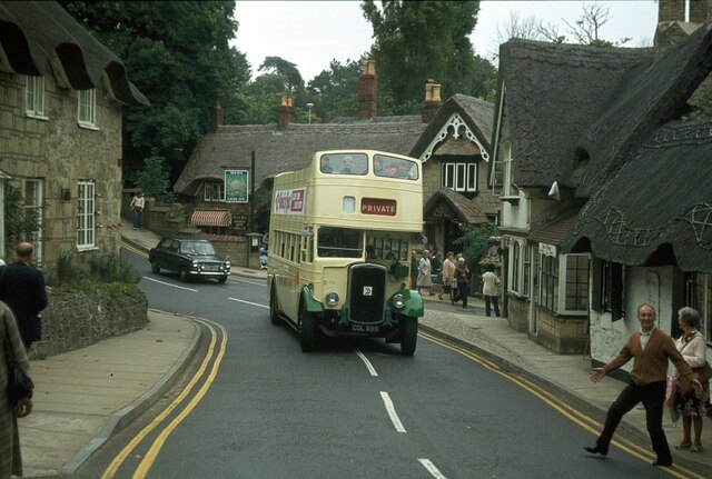
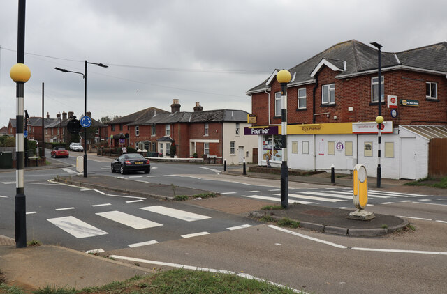
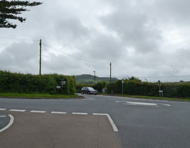
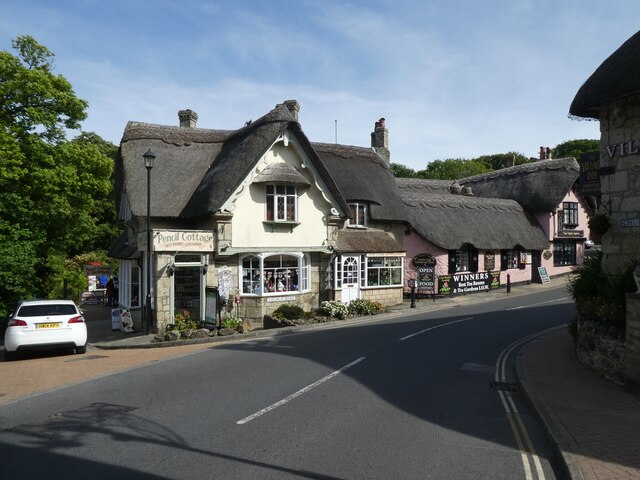
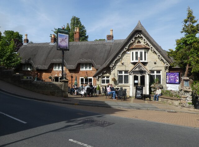
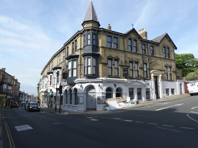
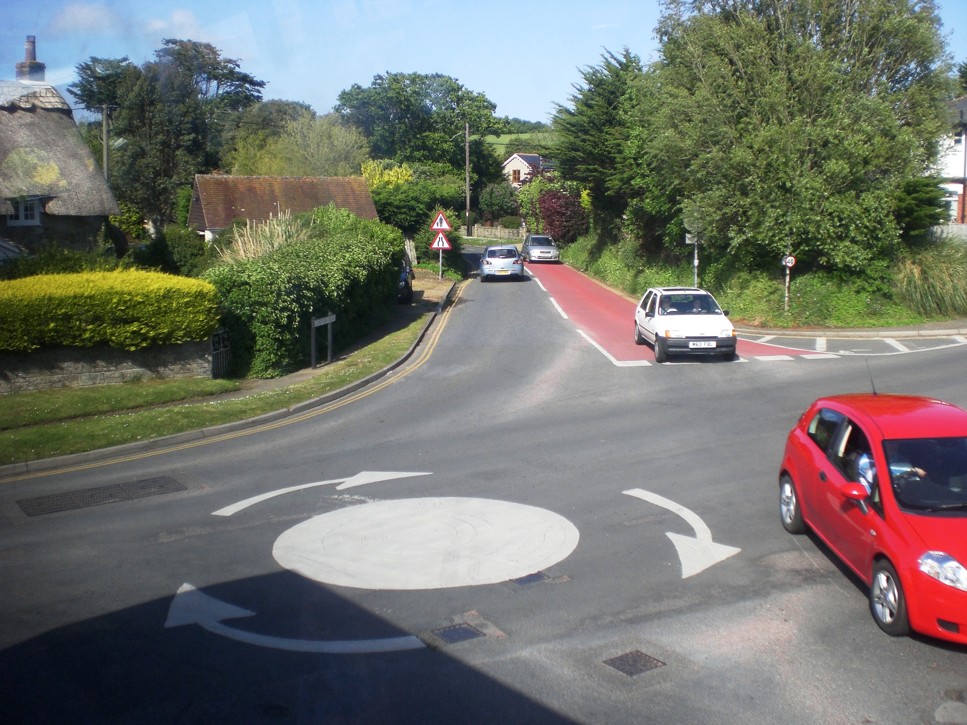
Apsecastle Wood Images

Images are sourced within 2km of 50.631897/-1.2021953 or Grid Reference SZ5681. Thanks to Geograph Open Source API. All images are credited.

Sandown Bay As viewed from Shanklin Down. Shanklin is in the foreground, Sandown in the centre near the pier and Culver Cliff bringing up the furthest point of the cliffs.
Sandown Bay
As viewed from Shanklin Down. Shanklin is in the foreground, Sandown in the centre near the pier and Culver Cliff bringing up the furthest point of the cliffs.
Shanklin Down Looking up the combe from the bridleway that links Shanklin Down with Middle Barn,
Shanklin Down
Looking up the combe from the bridleway that links Shanklin Down with Middle Barn,
Shanklin Down This is a good bridleway on broad downland towards the radar and radio masts at St. Boniface Down <a href="https://www.geograph.org.uk/gridref/SZ5678">SZ5678</a>.  It is usually much more popular with walkers.
Shanklin Down
This is a good bridleway on broad downland towards the radar and radio masts at St. Boniface Down SZ5678. It is usually much more popular with walkers.
From Shanklin Down Looking north-west from the wide downland with St. Martin's Down <a href="https://www.geograph.org.uk/gridref/SZ5680">SZ5680</a> to the right and Wroxall <a href="https://www.geograph.org.uk/gridref/SZ5579">SZ5579</a> in the valley to the left.
From Shanklin Down
Looking north-west from the wide downland with St. Martin's Down SZ5680 to the right and Wroxall SZ5579 in the valley to the left.
High Street, Shanklin – 1978 Providing an 'olde-tyme' backdrop to a venerable bus.

Southern Vectis 702 is a Bristol K with ECW bodywork, new to the company in 1939 and converted for open top services in 1959. When this view was taken she was already approaching her 40th year of service with the company, and although seen here on a private charter, was still regularly used on normal services. In 2021, now affectionately called 'The Old Girl', she is still in service, although now only used for special private charter work. As such, she holds the UK, and possibly world, record for a bus in continuous service with the same operator.

This is one of a series of views featuring buses in the 60s, 70s, and 80s. <a title="https://www.geograph.org.uk/search.php?i=137652761" href="https://www.geograph.org.uk/search.php?i=137652761">Link</a>
High Street, Shanklin – 1978
Providing an 'olde-tyme' backdrop to a venerable bus. Southern Vectis 702 is a Bristol K with ECW bodywork, new to the company in 1939 and converted for open top services in 1959. When this view was taken she was already approaching her 40th year of service with the company, and although seen here on a private charter, was still regularly used on normal services. In 2021, now affectionately called 'The Old Girl', she is still in service, although now only used for special private charter work. As such, she holds the UK, and possibly world, record for a bus in continuous service with the same operator. This is one of a series of views featuring buses in the 60s, 70s, and 80s. Link
Crossroads at Apse Heath Showing the single local store at the intersection of the A3056 Newport Road, with Alverstone Road to the north and Ventnor Road to the south.
Crossroads at Apse Heath
Showing the single local store at the intersection of the A3056 Newport Road, with Alverstone Road to the north and Ventnor Road to the south.
Bus station and garage, Shanklin – 1978 Many major bus companies between the 1930s and 1950s combined garaging of buses with passenger terminals, and Southern Vectis was no exception. This view shows the scene when Southern Vectis was part of the National Bus Company. The bus is a Leyland National, no.883. This was the standard single deck bus developed for the NBC in the early 1970s and was found throughout the UK, with over 7000 being built.

The site is now occupied by a supermarket <a title="https://www.geograph.org.uk/photo/6585151" href="https://www.geograph.org.uk/photo/6585151">Link</a> with bus services now loading at the kerbside on Landguard Road.

This is one of a series of views featuring buses in the 60s, 70s, and 80s. <a title="https://www.geograph.org.uk/search.php?i=137652761" href="https://www.geograph.org.uk/search.php?i=137652761">Link</a>
Bus station and garage, Shanklin – 1978
Many major bus companies between the 1930s and 1950s combined garaging of buses with passenger terminals, and Southern Vectis was no exception. This view shows the scene when Southern Vectis was part of the National Bus Company. The bus is a Leyland National, no.883. This was the standard single deck bus developed for the NBC in the early 1970s and was found throughout the UK, with over 7000 being built. The site is now occupied by a supermarket Link with bus services now loading at the kerbside on Landguard Road. This is one of a series of views featuring buses in the 60s, 70s, and 80s. Link
Old Milestone, Shanklin, IoW By the east side of the drive to 26 Church Road  on the SE verge.

Inscription (was): 9 miles to Ryde

Grade II listed see <span class="nowrap"><a title="https://historicengland.org.uk/listing/the-list/list-entry/1212473" rel="nofollow ugc noopener" href="https://historicengland.org.uk/listing/the-list/list-entry/1212473">Link</a><img style="margin-left:2px;" alt="External link" title="External link - shift click to open in new window" src="https://s1.geograph.org.uk/img/external.png" width="10" height="10"/></span>

Milestone Society National ID: HA_RYVN09
Old Milestone, Shanklin, IoW
By the east side of the drive to 26 Church Road on the SE verge. Inscription (was): 9 miles to Ryde Grade II listed see LinkExternal link Milestone Society National ID: HA_RYVN09
Mini roundabout on Newport Road
Thatched cottage at Whitley Bank
Pencil Cottage, Shanklin
'The Crab', Shanklin
No 64, Shanklin Undergoing refurbishment, in May 2022.
No 64, Shanklin
Undergoing refurbishment, in May 2022.
Sandford Chapel (converted)
At the IOW Donkey Sanctuary (1)
At the IOW Donkey Sanctuary (2)
At the IOW Donkey Sanctuary (3)
At the IOW Donkey Sanctuary (4)
Show me another place!

Apsecastle Wood is located at Grid Ref: SZ5681 (Lat: 50.631897, Lng: -1.2021953)

Unitary Authority: Isle of Wight

Police Authority: Hampshire

What 3 Words

///calms.dwarf.upstarts. Near Shanklin, Isle of Wight

Related Wikis

America Wood

America Wood (grid reference SZ567820) is a 21.4 hectare biological Site of Special Scientific Interest on the Isle of Wight, notified in 1986. Legend...

Ninham

Ninham is a hamlet on the Isle of Wight in the parish of Shanklin, and about 2 miles (3.3 km) away from Shanklin, the nearest tourist town. It is about...

Whiteley Bank

Whiteley Bank, also spelled "Whitely Bank", is a small village or hamlet on the Isle of Wight, United Kingdom. It is located two miles west of Shanklin...

Princelett

Princelett, sometimes spelled "Princelet", is a hamlet on the Isle of Wight. Princelett is in Newchurch parish. Until the mid 20th Century it was known...

Landguard Manor

Landguard Manor (or Languard) is a manor house in Shanklin on the Isle of Wight, England. Mentioned in the Domesday Book, over the centuries it was home...

Shanklin railway station

Shanklin railway station is a Grade II listed railway station serving Shanklin on the Isle of Wight. It is the present terminus of the Island Line from...

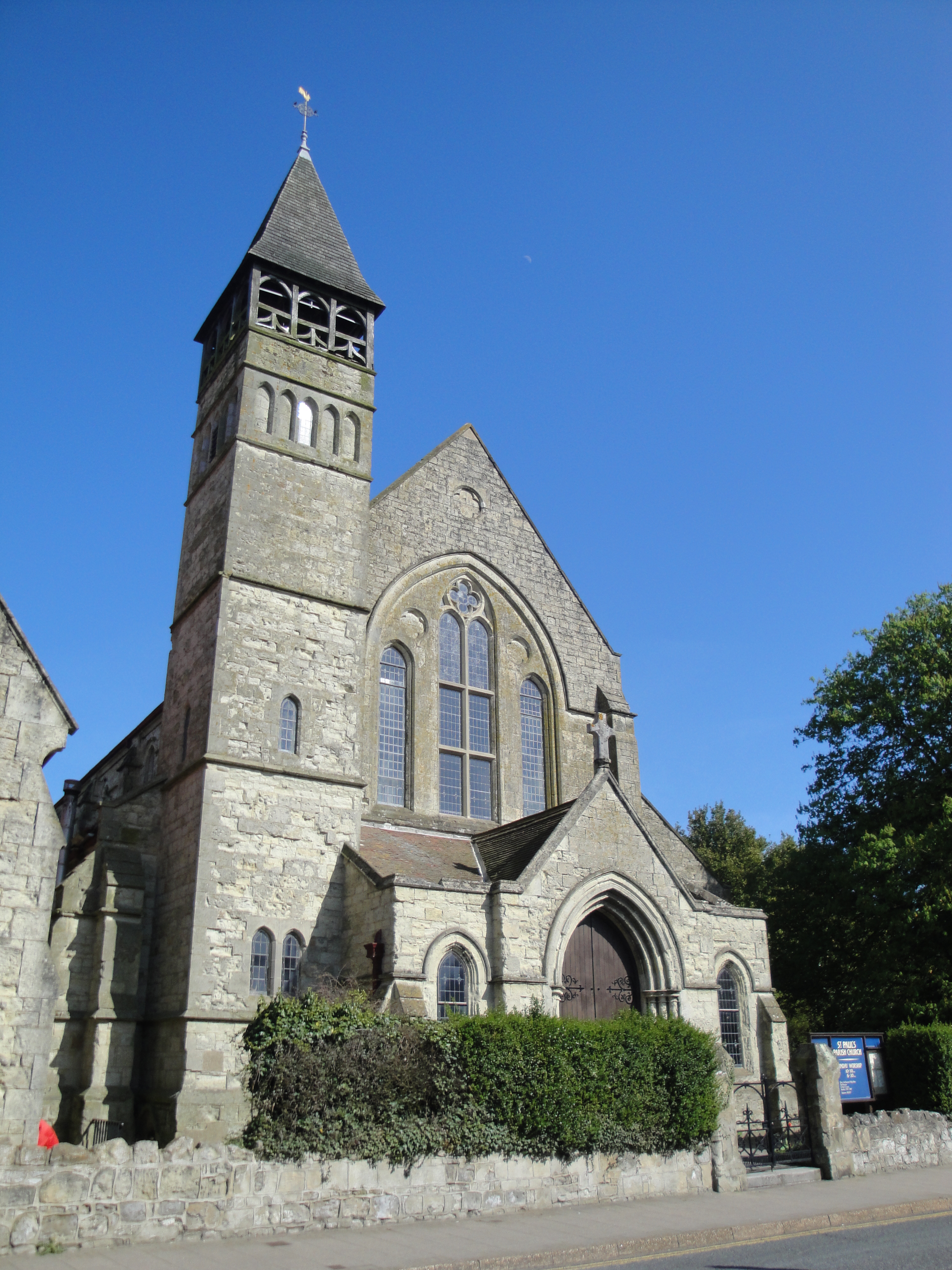
St Paul's Church, Gatten, Shanklin

St. Paul's Church, Gatten, Shanklin is a parish church in the Church of England located in Shanklin, Isle of Wight. == History == It is an ecclesiastical...

Apse Heath

Apse Heath is a hamlet on the Isle of Wight, UK. Apse Heath is centered on the intersection of Newport Road and Alverstone Road. At the 2011 Census the...

Nearby Amenities

Located within 500m of 50.631897,-1.2021953
Source: landsat photo
Lat/Long: 50.629929/-1.2004599
Source: landsat photo
Lat/Long: 50.6319661/-1.1990203
Source: landsat photo
Lat/Long: 50.6325378/-1.1993834
Source: landsat photo
Lat/Long: 50.63415/-1.1996762
Source: landsat photo
Lat/Long: 50.6348737/-1.199703
Source: landsat photo
Lat/Long: 50.6356879/-1.2007889
Source: landsat photo
Lat/Long: 50.633408/-1.1956835
Source: landsat photo
Lat/Long: 50.6331424/-1.1966466
Source: landsat photo
Lat/Long: 50.6338843/-1.1976081
Source: landsat photo
Lat/Long: 50.6336878/-1.1976796
Source: landsat photo
Lat/Long: 50.6330959/-1.1977607
Source: landsat photo
Lat/Long: 50.6322517/-1.1974579
Source: landsat photo
Lat/Long: 50.6313917/-1.1978706
Source: Locally rectified NPE map
Lat/Long: 50.6285548/-1.2062513
Source: Locally rectified NPE map
Lat/Long: 50.6305118/-1.2054111
Barrier: stile
Lat/Long: 50.6286075/-1.1983936
Source: Locally rectified NPE map
Lat/Long: 50.6287726/-1.1988338
Bus Stop
Cliff Bridge
Bench: yes
Bus: yes
Contact Website: https://www.islandbuses.info/stops/230000003870
Naptan AtcoCode: 230000003870
Naptan Bearing: SE
Naptan CommonName: Cliff Bridge
Naptan Indicator: towards Shanklin
Naptan NaptanCode: iowdgmp
Naptan Street: Victoria Avenue
Public Transport: platform
Shelter: yes
Source: naptan_import
Survey Date: 2020-01-25
Tactile Paving: no
Lat/Long: 50.6290624/-1.197094
Bus Stop
Apse Manor Road
Bench: no
Bin: no
Bus: yes
Contact Website: https://www.islandbuses.info/stops/230000004040
Naptan AtcoCode: 230000004040
Naptan Bearing: W
Naptan CommonName: Apse Manor Road
Naptan Indicator: opp
Naptan NaptanCode: iowdgwa
Naptan Street: Shanklin Road
Public Transport: platform
Shelter: no
Source: naptan_import
Survey Date: 2020-01-23
Lat/Long: 50.6299469/-1.2021022
Bus Stop
Apse Manor Road
Bench: no
Bin: no
Bus: yes
Contact Website: https://www.islandbuses.info/stops/230000004050
Naptan AtcoCode: 230000004050
Naptan Bearing: E
Naptan CommonName: Apse Manor Road
Naptan Indicator: adj
Naptan NaptanCode: iowdgwd
Naptan Street: Shanklin Road
Public Transport: platform
Shelter: no
Source: naptan_import
Survey Date: 2020-01-23
Lat/Long: 50.6300771/-1.2027783
Barrier: stile
Lat/Long: 50.6287662/-1.1988132
Source: landsat photo
Lat/Long: 50.6334986/-1.2005622
Barrier: stile
Foot: yes
Lat/Long: 50.635008/-1.1996797
Barrier: stile
Foot: yes
Lat/Long: 50.6349465/-1.1973398
Barrier: stile
Foot: yes
Lat/Long: 50.6357522/-1.2041501
Source: landsat photo
Lat/Long: 50.6299998/-1.1983418
Power: pole
Lat/Long: 50.6290593/-1.2073847
Hiking: yes
Information: guidepost
Tourism: information
Lat/Long: 50.6357624/-1.2042032
Hiking: yes
Information: guidepost
Tourism: information
Lat/Long: 50.6345533/-1.2052774
Hiking: yes
Information: guidepost
Source: GPS survey
Tourism: information
Lat/Long: 50.6293808/-1.1986135
Bench
Backrest: yes
Lat/Long: 50.6293877/-1.2000577
Hiking: yes
Information: guidepost
Tourism: information
Lat/Long: 50.6299882/-1.1991533
Dovetailed Design
Addr City: Shanklin
Addr Country: GB
Addr Housenumber: 2
Addr Street: Upper Hyde Lane
Contact Facebook: dovetaileddesignisleofwight
Contact Instagram: dovetailed.design
Contact Phone: +44 7789 887753
Contact Website: https://www.dovetaileddesign.com/
Shop: gift
Lat/Long: 50.6299104/-1.1968385
Power: substation
Ref GB Uprn: 10025282472
Lat/Long: 50.6297013/-1.1971791
Generator Solar Modules: 6
Generator Source: solar
Location: roof
Power: generator
Lat/Long: 50.6305485/-1.195643
Bench
Backrest: yes
Lat/Long: 50.6293823/-1.2002771
Bench
Backrest: yes
Lat/Long: 50.6293806/-1.2001994
Leisure: picnic_table
Lat/Long: 50.6295926/-1.2020575
Leisure: picnic_table
Lat/Long: 50.629551/-1.2020333
Leisure: picnic_table
Lat/Long: 50.6296271/-1.2020789
Cafe
The Railway Cabin
Note: opening times intermittent, details on facebook
Lat/Long: 50.6296798/-1.2020038
The data included in this document is from www.openstreetmap.org. The data is made available under ODbL.

Have you been to Apsecastle Wood?

Leave your review of Apsecastle Wood below (or comments, questions and feedback).