Ham Wood
Wood, Forest in Berkshire South Oxfordshire
England
Ham Wood
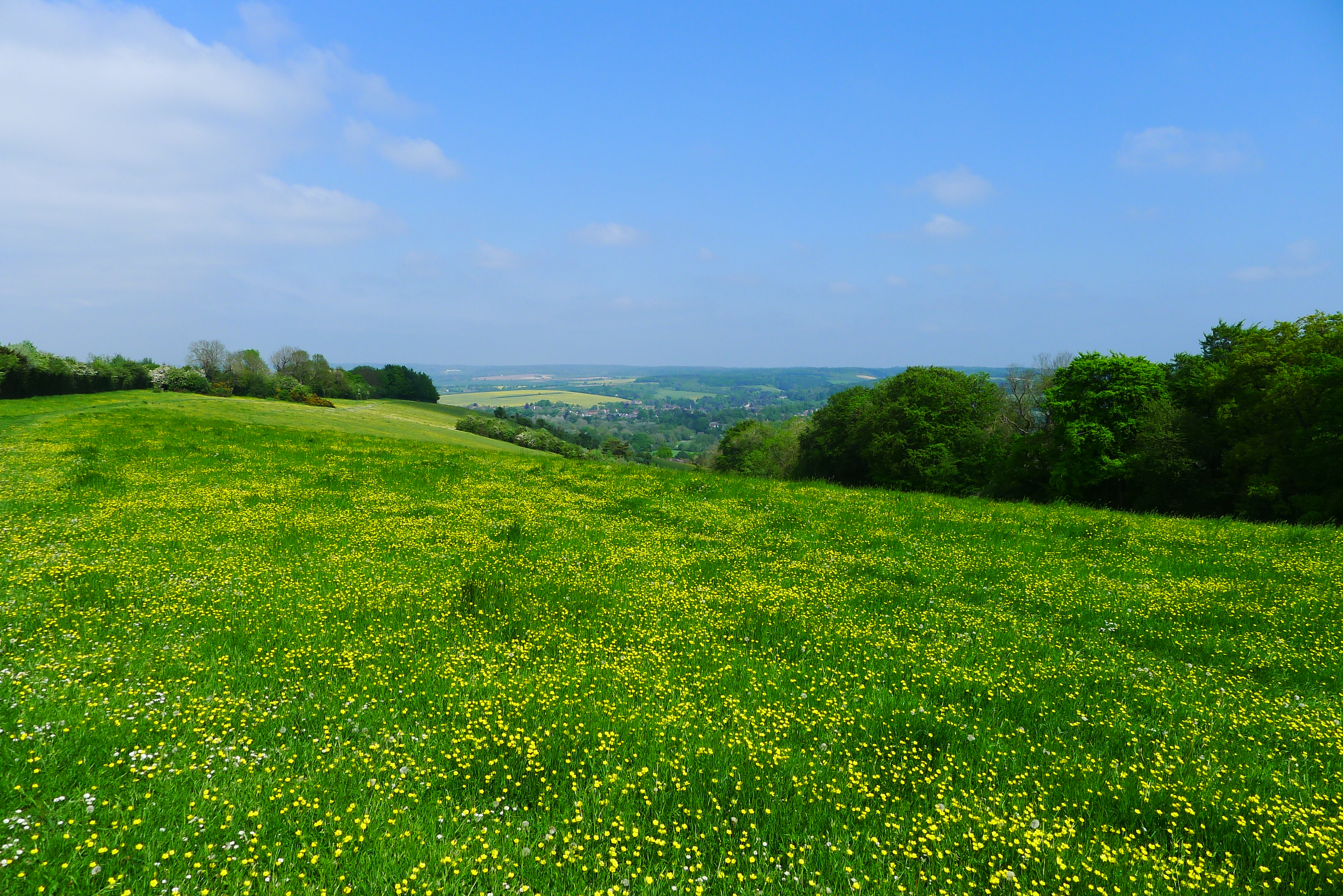
Ham Wood is a picturesque woodland located in the county of Berkshire, England. Situated near the village of Ham, the wood covers an area of approximately 200 acres. It is part of a larger forested area known as Ham Common, which is a designated Site of Special Scientific Interest (SSSI) due to its rich biodiversity and ecological importance.
The wood features a diverse range of tree species, including oak, beech, birch, and hazel. The dense canopy creates a cool and tranquil atmosphere, making it a popular destination for nature enthusiasts and walkers seeking solace in the outdoors. Wildlife thrives in the wood, with an abundance of bird species, such as woodpeckers, owls, and thrushes. Deer can also be spotted grazing amongst the trees.
Ham Wood is crisscrossed by a network of paths and trails, offering visitors the opportunity to explore its natural beauty. These paths wind through the woodland, allowing hikers to discover hidden clearings, ancient trees, and vibrant wildflowers. The wood is particularly enchanting during springtime when bluebells carpet the forest floor, creating a stunning display of color.
Managed by the local authorities, Ham Wood provides a valuable recreational space for the surrounding communities. It offers a peaceful retreat from the hustle and bustle of nearby towns and cities, providing a haven for wildlife and a place for people to connect with nature. Whether it's a leisurely stroll, a family picnic, or a birdwatching expedition, Ham Wood offers a delightful escape into the heart of the Berkshire countryside.
If you have any feedback on the listing, please let us know in the comments section below.
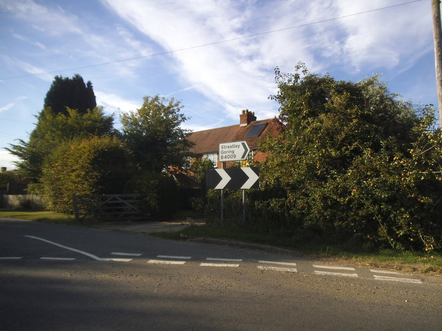
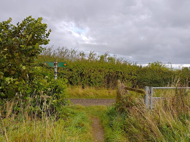
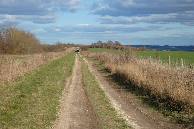
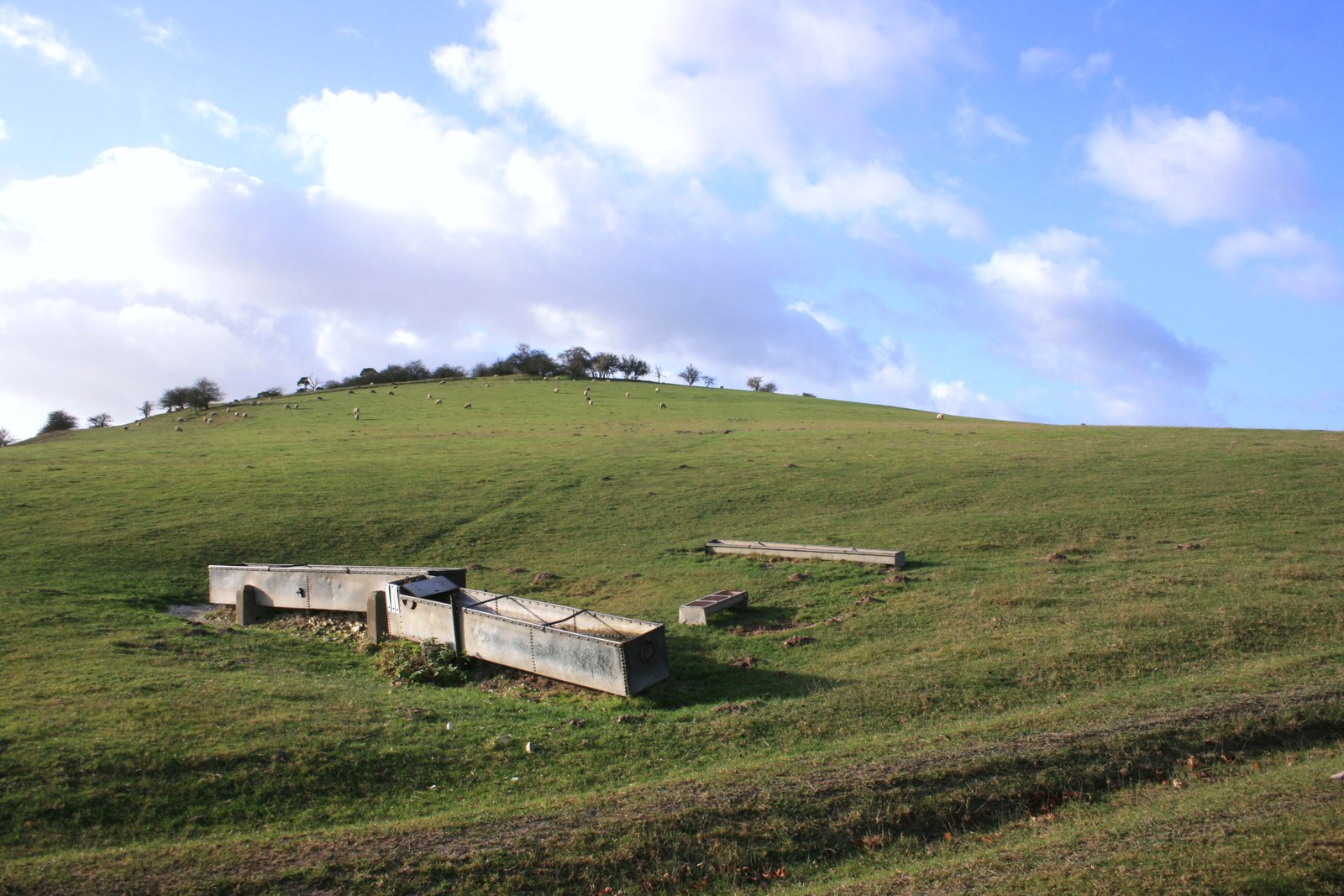
Ham Wood Images
Images are sourced within 2km of 51.531728/-1.1890073 or Grid Reference SU5681. Thanks to Geograph Open Source API. All images are credited.


Ham Wood is located at Grid Ref: SU5681 (Lat: 51.531728, Lng: -1.1890073)
Administrative County: Oxfordshire
District: South Oxfordshire
Police Authority: Thames Valley
What 3 Words
///distanced.outlast.handyman. Near Goring, Oxfordshire
Nearby Locations
Related Wikis

Streatley Warren
Streatley Warren is a 31.3-hectare (77-acre) biological Site of Special Scientific Interest west of Streatley in Berkshire. It is in the North Wessex Downs...
Moulsford Downs
Moulsford Downs is a 13.6-hectare (34-acre) biological Site of Special Scientific Interest north-west of Goring-on-Thames in Oxfordshire.This chalk grassland...

Battle of Ashdown
The Battle of Ashdown was a West Saxon victory over a Danish Viking army on about 8 January 871. The location of Ashdown is not known, but may be Kingstanding...

Goring & Streatley Golf Club
Goring & Streatley Golf Club is a golf course in the village of Streatley, in the English county of Berkshire. It takes its name partly from that village...
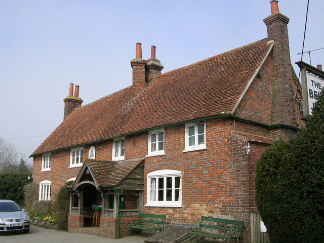
The Bell Inn, Aldworth
The Bell Inn is a pub at the village of Aldworth, in the English county of West Berkshire. It won CAMRA's National Pub of the Year in 1990, and received...

Lardon Chase, the Holies and Lough Down
Lardon Chase, the Holies and Lough Down is a National Trust countryside property in the English county of Berkshire. It is situated on the edge of the...

Genetic Studios
Genetic Studios (also known as Genetic Sound) was a recording studio in Streatley, England. == History == Genetic was established in 1980 by Martin Rushent...
Lardon Chase
Lardon Chase is a 14.9-hectare (37-acre) biological Site of Special Scientific Interest in Streatley in Berkshire. It is in the North Wessex Downs, which...
Have you been to Ham Wood?
Leave your review of Ham Wood below (or comments, questions and feedback).