Dummer

Settlement in Hampshire Basingstoke and Deane

England

Dummer

Field by Farleigh Lane, Dummer
Field by Farleigh Lane, Dummer Credit: David Howard

The requested URL returned error: 429 Too Many Requests

If you have any feedback on the listing, please let us know in the comments section below.
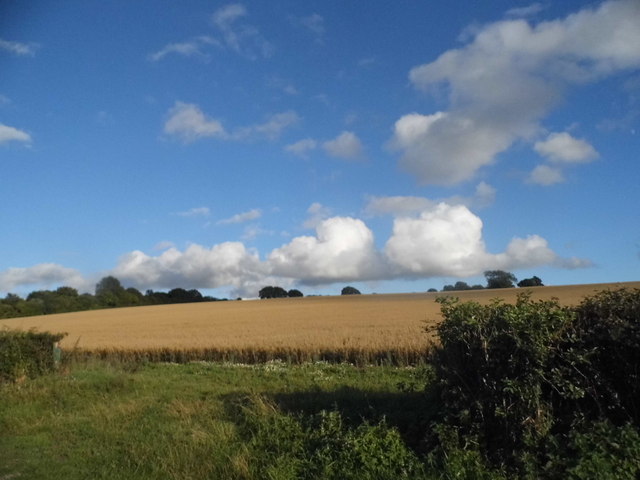
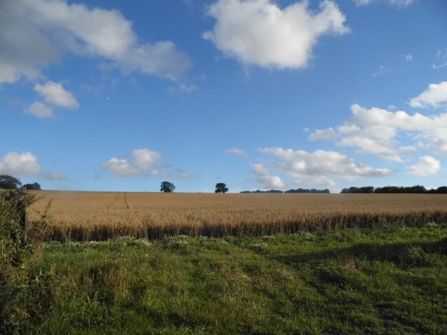
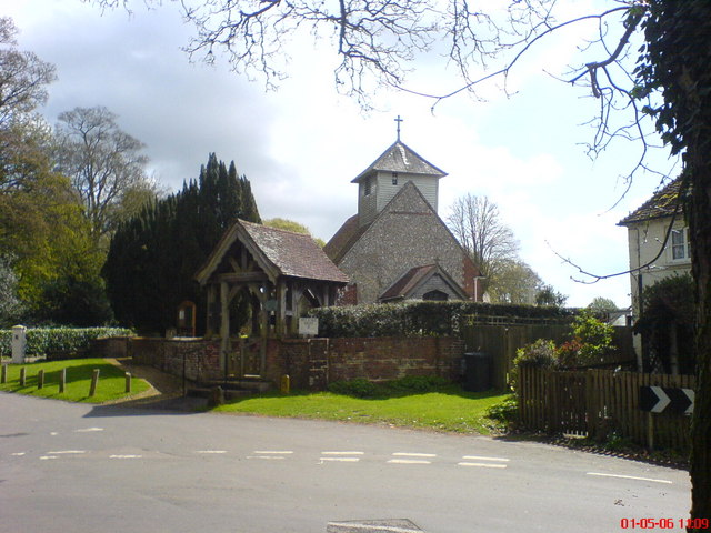
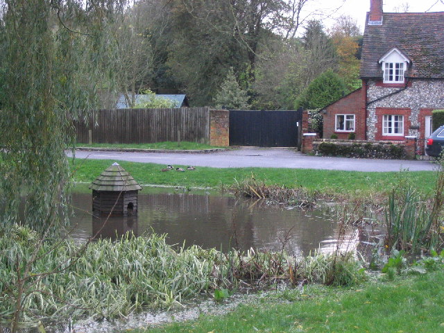
Dummer Images

Images are sourced within 2km of 51.210434/-1.159389 or Grid Reference SU5846. Thanks to Geograph Open Source API. All images are credited.

Field by Farleigh Lane, Dummer
Half mile to J7, M3 The M3 motorway runs for 59 miles from Sunbury-on-Thames to Southampton. Construction started 1968 and was finally completed in 1995. The Winchester bypass through Twyford Downs was the most controversial section to be built.
Wikipedia: <span class="nowrap"><a title="http://en.wikipedia.org/wiki/M3_motorway_(Great_Britain)" rel="nofollow ugc noopener" href="http://en.wikipedia.org/wiki/M3_motorway_(Great_Britain)">Link</a><img style="margin-left:2px;" alt="External link" title="External link - shift click to open in new window" src="https://s1.geograph.org.uk/img/external.png" width="10" height="10"/></span>
Half mile to J7, M3
The M3 motorway runs for 59 miles from Sunbury-on-Thames to Southampton. Construction started 1968 and was finally completed in 1995. The Winchester bypass through Twyford Downs was the most controversial section to be built. Wikipedia: LinkExternal link
Field south of Kempshott Copse
Field corner - south of Kempshott Copse The Wayfarer's Walk follows this route.
Field corner - south of Kempshott Copse
The Wayfarer's Walk follows this route.
A secure Shortwood's Copse See <a href="https://www.geograph.org.uk/photo/2366186">SU6046 : In Shortwood's Copse</a> for a view pre-fencing.
A secure Shortwood's Copse
See SU6046 : In Shortwood's Copse for a view pre-fencing.
Shortwood's Copse On some maps this corner could be Kempshott Copse, the two woodlands appear as one these days.
Shortwood's Copse
On some maps this corner could be Kempshott Copse, the two woodlands appear as one these days.
Field boundary south of Shortwood's Copse
Field south of Shortwood's Copse Inwood Copse in the background.
Field south of Shortwood's Copse
Inwood Copse in the background.
Field south of Shortwood's Copse
Field boundary south of Shortwood's Copse
Field access Field south of Kempshott Copse.
Field access
Field south of Kempshott Copse.
Field south of Shortwood's Copse
Field east of Rowley Copse
Show me another place!

Dummer is located at Grid Ref: SU5846 (Lat: 51.210434, Lng: -1.159389)

Administrative County: Hampshire

District: Basingstoke and Deane

Police Authority: Hampshire

What 3 Words

///nibbled.belief.responses. Near Basingstoke, Hampshire

Nearby Locations

Dummer

Related Wikis

Dummer, Hampshire

Dummer is a parish and village in Hampshire, England. It is 6 miles south-west of Basingstoke and near Junction 7 on the M3 motorway. In the 2001 census...

North Waltham

North Waltham is a village and civil parish in the borough of Basingstoke and Deane in Hampshire, England. It is located around 6 miles (9.7 km) southwest...

Nutley, Hampshire

Nutley is a small village and civil parish in the Basingstoke and Deane district of Hampshire, England. It is located approximately 5.6 miles (9.0 km)...

A33 road

The A33 is a major road in the counties of Berkshire and Hampshire in southern England. The road currently runs in three disjoint sections. == Route... ==

Nearby Amenities

Located within 500m of 51.210434,-1.159389
Dummer
Is In: Hampshire, England, UK
Place: village
Lat/Long: 51.21044/-1.1595595
Pub
The Queen Inn
Addr City: Dummer
Addr Housename: The Queen Inn
Addr Postcode: RG25 2AD
Addr Street: Down Street
Url: http://thequeeninndummer.com
Lat/Long: 51.2113556/-1.15987
Post Box
Post Box Type: wall
Postal Code: RG25
Ref: RG25 189
Royal Cypher: EVIIR
Royal Cypher Wikidata: Q33102324
Lat/Long: 51.2094052/-1.163397
Bus Stop
Tower Hill Dummer
Naptan AtcoCode: 1900HA010274
Naptan Bearing: E
Naptan CommonName: Tower Hill Dummer
Naptan Crossing: Dummer Down Lane
Naptan NaptanCode: hamdtmgw
Naptan Street: Up Street
Naptan Verified: no
Source: naptan_import
Lat/Long: 51.2090609/-1.1655519
Bus Stop
Tower Hill Dummer
Naptan AtcoCode: 1900HA010275
Naptan Bearing: S
Naptan CommonName: Tower Hill Dummer
Naptan Crossing: Up Street
Naptan NaptanCode: hamdtmja
Naptan Street: Dummer Down Lane
Naptan Verified: no
Source: naptan_import
Lat/Long: 51.2089798/-1.165539
Bus Stop
Dummer Church
Check Date Shelter: 2023-07-01
Layby: no
Naptan AtcoCode: 1900HA010276
Naptan Bearing: E
Naptan CommonName: Dummer Church
Naptan Crossing: Down Street
Naptan NaptanCode: hamdtpmw
Naptan Street: Up Street
Naptan Verified: yes
Shelter: yes
Source: naptan_import
Lat/Long: 51.2103622/-1.1597378
Bus Stop
Dummer Church
Naptan AtcoCode: 1900HA010277
Naptan Bearing: W
Naptan CommonName: Dummer Church
Naptan NaptanCode: hamdtpta
Naptan Street: Up Street
Naptan Verified: no
Note: no apparent bus_stop this side of the road
Source: naptan_import
Lat/Long: 51.2102514/-1.1597609
Chapel Close
Naptan AtcoCode: 1900HA010279
Naptan Bearing: S
Naptan CommonName: Chapel Close
Naptan Crossing: Glebe Close
Naptan NaptanCode: hamdtwad
Naptan Street: Down Street
Naptan Verified: no
Note: there is no apparent bus stop visible
Source: naptan_import
Lat/Long: 51.2138436/-1.1584688
Barrier: kissing_gate
Lat/Long: 51.2123888/-1.1575041
Public Bookcase
Old Phone Box
Booth: K6
Covered: booth
Description: Retired K6 phone box that is now a small library.
Disused Amenity: telephone
Man Made: telephone_box
Mapillary: 2998227983740452
Old Phone Box: yes
Public Bookcase Type: phone_box
Survey Date: 2020-08-01
Lat/Long: 51.2131769/-1.1585857
Post Box
Check Date: 2023-03-25
Collection Times: Mo-Fr 09:00; Sa 07:00
Mapillary: 503630810872943
Post Box Type: pillar
Postal Code: RG25
Ref: RG25 16
Royal Cypher: GR
Lat/Long: 51.2138368/-1.1584483
Bench
Check Date: 2023-03-25
Covered: yes
Lat/Long: 51.2138327/-1.1582757
Bench
Lat/Long: 51.2117834/-1.1558705
Bus Stop
Chapel Close
Bus: yes
Check Date Shelter: 2023-03-25
Layby: no
Naptan AtcoCode: 1900HA010278
Naptan Bearing: S
Naptan CommonName: Chapel Close
Naptan Crossing: Down Street
Naptan NaptanCode: hamdtpwt
Naptan Street: Chapel Close
Naptan Verified: yes
Public Transport: platform
Shelter: yes
Source: naptan_import
Lat/Long: 51.2138442/-1.1585346
Little Manor Farm
Landuse: farm
Note Retag: CS #48756035
Lat/Long: 51.2123331/-1.1592458
Manor Farm
Landuse: farm
Note Retag: CS #48756035
Lat/Long: 51.2100339/-1.1596827
Addr City: Basingstoke
Addr Country: GB
Addr Place: Dummer
Addr Postcode: RG25 2AG
Source Addr Postcode: planning notice
Lat/Long: 51.2102169/-1.1594927
Bench
Lat/Long: 51.2104574/-1.1590483
Barrier: kissing_gate
Lat/Long: 51.2102781/-1.1600204
Bench
Lat/Long: 51.2096396/-1.1621902
FIXME: incomplete
Barrier: kissing_gate
Note: retag as footpath when complete
Lat/Long: 51.2093258/-1.1631986
Postal Code: RG25 2AH
Source Postal Code: planning notice
Lat/Long: 51.2093199/-1.1640625
Bench
Lat/Long: 51.2089152/-1.1657634
Tower Hill Farm
Landuse: farm
Note Retag: CS #48756035
Lat/Long: 51.2082124/-1.1653768
Barrier: kissing_gate
Lat/Long: 51.2087765/-1.1631439
Barrier: kissing_gate
Lat/Long: 51.2125176/-1.1610557
Barrier: stile
Lat/Long: 51.2127034/-1.1609707
Barrier: stile
Lat/Long: 51.21341/-1.1599408
Barrier: stile
Lat/Long: 51.2136146/-1.1596071
Barrier: stile
Lat/Long: 51.2140773/-1.1588601
Historic: memorial
Memorial: war_memorial
Lat/Long: 51.2102786/-1.1590191
Barrier: stile
Lat/Long: 51.2109288/-1.1561211
Barrier: stile
Lat/Long: 51.2115288/-1.1564094
Information: map
Tourism: information
Lat/Long: 51.2138386/-1.158424
Give Way
Direction: backward
Lat/Long: 51.2090063/-1.16553
Give Way
Direction: backward
Lat/Long: 51.208974/-1.1659876
Give Way
Direction: forward
Lat/Long: 51.2088149/-1.1657075
Information: guidepost
Tourism: information
Lat/Long: 51.2089805/-1.165638
The data included in this document is from www.openstreetmap.org. The data is made available under ODbL.

Have you been to Dummer?

Leave your review of Dummer below (or comments, questions and feedback).