Oak Spinney

Wood, Forest in Leicestershire Harborough

England

Oak Spinney

Gilmorton Lane crosses the M1
Gilmorton Lane crosses the M1 Credit: Steve Daniels

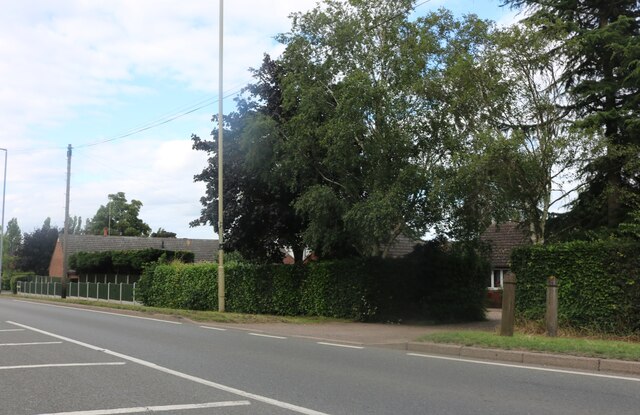
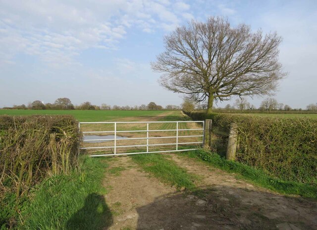
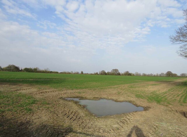
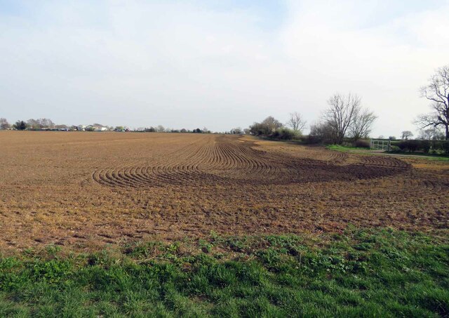
Oak Spinney is a charming woodland located in the county of Leicestershire, England. Situated near the village of Oakham, it covers an area of approximately 200 acres and is known for its dense population of oak trees, which give the spinney its name. The woodland is a popular destination for nature lovers and outdoor enthusiasts, offering a tranquil and picturesque setting for leisurely walks and exploration.

The spinney is home to a diverse range of flora and fauna, with a variety of plant species thriving in its fertile soil. Bluebells, wild garlic, and wood anemones create a colorful carpet during the spring, while the vibrant hues of autumn leaves provide a stunning spectacle later in the year. The canopy of oak trees provides ample shade and a haven for a variety of bird species, including woodpeckers, owls, and warblers.

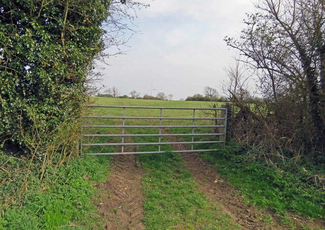
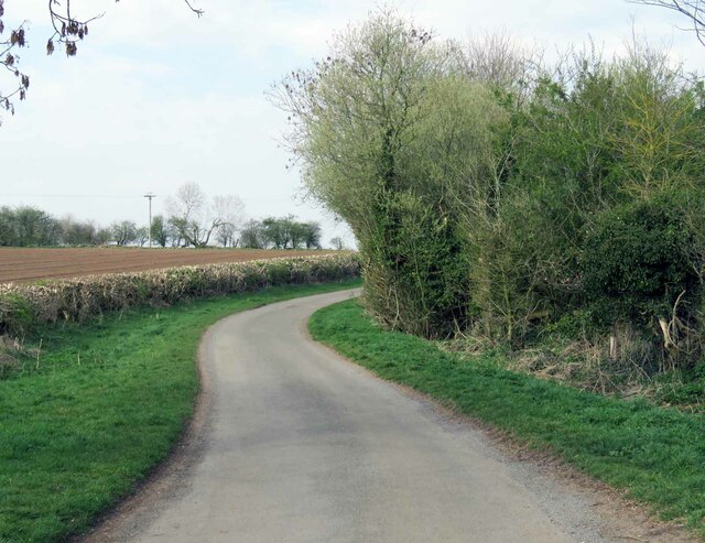
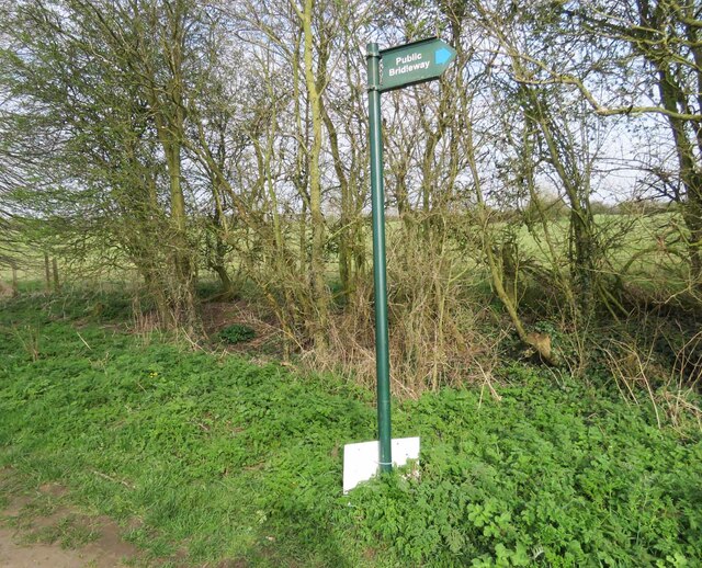
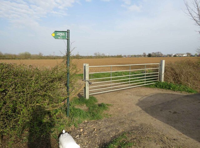
Visitors to Oak Spinney can enjoy a network of well-maintained footpaths and trails, allowing them to fully immerse themselves in the natural beauty of the woodland. The paths wind through the trees and lead to open clearings, where picnickers can relax and enjoy the peaceful ambiance. The spinney also features a small pond, attracting an array of wildlife, including frogs, newts, and dragonflies.

In addition to its natural beauty, Oak Spinney holds historical significance. The woodland has been managed for centuries, and traces of ancient boundary banks and ditches can be found within its boundaries. These remnants serve as a reminder of the spinney's past and the importance of preserving its natural and cultural heritage.

Overall, Oak Spinney in Leicestershire is a delightful destination for those seeking solace in nature, offering a tranquil retreat with its ancient oaks, diverse wildlife, and scenic trails.

If you have any feedback on the listing, please let us know in the comments section below.
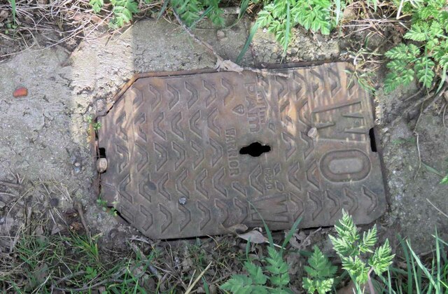
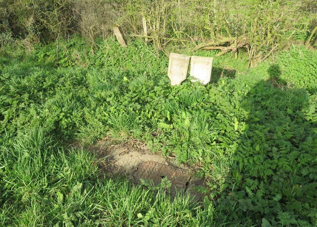
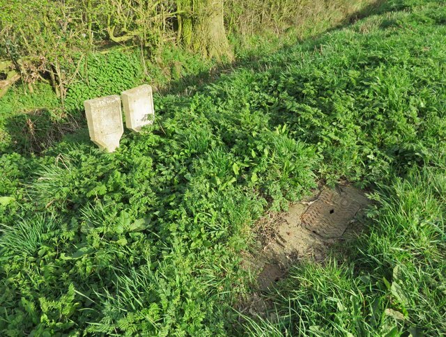
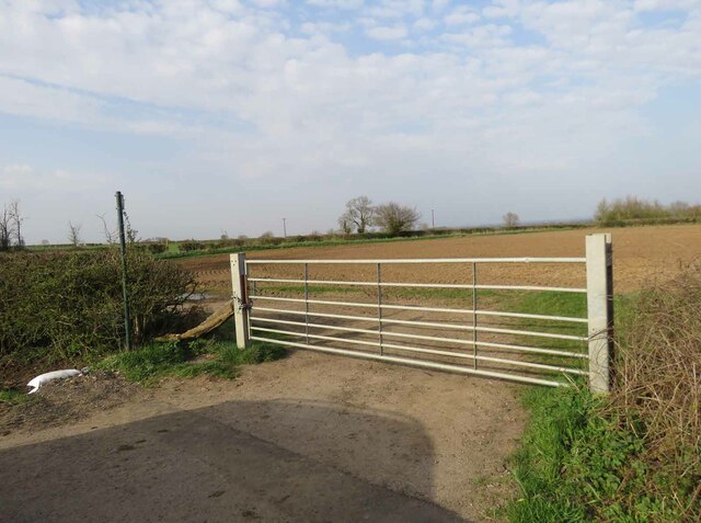
Oak Spinney Images

Images are sourced within 2km of 52.507448/-1.176374 or Grid Reference SP5590. Thanks to Geograph Open Source API. All images are credited.

Gilmorton Lane crosses the M1
Lutterworth Road before Dunton Bassett
Lutterworth Road, Dunton Bassett
Low Spinney Wind Farm
Entrance to field on east side of public  bridleway
Entrance to field on east side of public bridleway
Little Lunnon towards Dunton Bassett
Signs at end of bridleway from Little Lunnon 0001
Signs at end of bridleway from Little Lunnon 0002
Entrance to field east of Gilmorton Road
Field east of Gilmorton Road
Gilmorton Road towards Ashby Magna Note the marker post in the verge.
Gilmorton Road towards Ashby Magna
Note the marker post in the verge.
Gilmorton Road towards Gilmorton The buildings to the right are "Farm View"
Gilmorton Road towards Gilmorton
The buildings to the right are "Farm View"
Inspection chamber cover and marker posts 0003 There was no information on the marker posts. WO would indicate there is a Wash Out valve beneath which is used to clear sediment out of the pipes when necessary.
Inspection chamber cover and marker posts 0003
There was no information on the marker posts. WO would indicate there is a Wash Out valve beneath which is used to clear sediment out of the pipes when necessary.
Inspection chamber cover and marker posts 0001 There was no information on the marker posts. WO on the inspection chamber cover would indicate there is a Wash Out valve beneath which is used to clear sediment out of the pipes when necessary.
Inspection chamber cover and marker posts 0001
There was no information on the marker posts. WO on the inspection chamber cover would indicate there is a Wash Out valve beneath which is used to clear sediment out of the pipes when necessary.
Inspection chamber cover and marker posts 0002 There was no information on the marker posts. WO on the inspection chamber cover would indicate there is a Wash Out valve beneath which is used to clear sediment out of the pipes when necessary.
Inspection chamber cover and marker posts 0002
There was no information on the marker posts. WO on the inspection chamber cover would indicate there is a Wash Out valve beneath which is used to clear sediment out of the pipes when necessary.
Entrance to field east of Gilmorton Road from south There is a public footpath to Ashby Magna cutting across the fields.
Entrance to field east of Gilmorton Road from south
There is a public footpath to Ashby Magna cutting across the fields.
Entrance to field east of Gilmorton Road from west There is a public footpath to Ashby Magna cutting across the fields to the left. Gilmorton Lodge Farm is in the distance at the SE corner of the square.
See <a href="https://www.geograph.org.uk/photo/6799608">SP5689 : Roadside sign for footpath to Ashby Magna</a> for a close up of the sign.
Entrance to field east of Gilmorton Road from west
There is a public footpath to Ashby Magna cutting across the fields to the left. Gilmorton Lodge Farm is in the distance at the SE corner of the square. See SP5689 : Roadside sign for footpath to Ashby Magna for a close up of the sign.
Field east of Gilmorton Road In the distance is Gilmorton Lodge Farm which is on the SE corner of the square.
Field east of Gilmorton Road
In the distance is Gilmorton Lodge Farm which is on the SE corner of the square.
Show me another place!

Oak Spinney is located at Grid Ref: SP5590 (Lat: 52.507448, Lng: -1.176374)

Administrative County: Leicestershire

District: Harborough

Police Authority: Leicestershire

What 3 Words

///shuttling.remember.maximum. Near Broughton Astley, Leicestershire

Nearby Locations

Oak Spinney Ashby Magna

Related Wikis

St Mary's Church, Ashby Magna

St Mary's Church is a church in Ashby Magna, Leicestershire. It is a Grade II* listed building. == History == The church was built by Robert Esseby in...

Ashby Magna

Ashby Magna is a small English village and civil parish in the Harborough district of Leicestershire. The parish has a population of 294, increasing at...

Ashby Magna railway station

Ashby Magna was a station on the Great Central Railway, the last main line to be constructed from the north of England to London, which opened in 1899...

Dunton Bassett

Dunton Bassett is a small village in the Harborough district of Leicestershire, England. It lies between Leicester and Lutterworth, and close to Broughton...

South Leicestershire (UK Parliament constituency)

South Leicestershire is a constituency represented in the House of Commons of the UK Parliament since 2015 by Alberto Costa, a member of the Conservative...

Blaby (UK Parliament constituency)

Blaby was a county constituency represented in the House of Commons of the Parliament of the United Kingdom, which existed from 1974 until 2010. It elected...

Guthlaxton

Guthlaxton is an ancient hundred of Leicestershire. Its jurisdiction was in the south of the county, and covered Lutterworth and Wigston Magna. At the...

Willoughby Waterleys

Willoughby Waterleys (formerly known as Willoughby Waterless) is a small village and civil parish in the Harborough district of Leicestershire, England...

Nearby Amenities

Located within 500m of 52.507448,-1.176374
Bus Stop
Village Hall
Bus: yes
Naptan AtcoCode: 260017200
Naptan Bearing: W
Naptan CommonName: Village Hall
Naptan Indicator: outside
Naptan Landmark: Village Hall
Naptan NaptanCode: leijmamw
Naptan Notes: Non-Hourly - County
Naptan Street: Peveril Road
Naptan Verified: no
Public Transport: platform
Source: naptan_import
Lat/Long: 52.5102726/-1.1726284
Bus Stop
Village Hall
Bus: yes
Naptan AtcoCode: 260017201
Naptan Bearing: E
Naptan BusStopType: CUS
Naptan CommonName: Village Hall
Naptan Indicator: opposite
Naptan Landmark: Village Hall
Naptan NaptanCode: leijmapa
Naptan Notes: Non-Hourly - County
Naptan Street: Peveril Road
Naptan Verified: no
Public Transport: platform
Source: naptan_import
Lat/Long: 52.5104256/-1.1726403
Ashby Magna
Place: village
Source: OS_OpenData_StreetView;NPE;OSM Note, etc
Lat/Long: 52.5106982/-1.1723405
Place: farm
Lat/Long: 52.5045004/-1.1724794
Generator Method: photovoltaic
Generator Output Electricity: yes
Generator Source: solar
Generator Type: solar_photovoltaic_panel
Location: roof
Power: generator
Lat/Long: 52.5112993/-1.1733617
Generator Method: photovoltaic
Generator Output Electricity: yes
Generator Source: solar
Generator Type: solar_photovoltaic_panel
Location: roof
Power: generator
Lat/Long: 52.5107982/-1.1727368
Generator Method: photovoltaic
Generator Output Electricity: yes
Generator Source: solar
Generator Type: solar_photovoltaic_panel
Location: roof
Power: generator
Lat/Long: 52.5097567/-1.1701619
Public Bookcase
Ashby Magna Library
Booth: K6
Colour: red
Disused Amenity: telephone
Man Made: telephone_box
Public Bookcase Type: phone_box
Lat/Long: 52.51027/-1.1729218
Post Box
Post Box Type: lamp
Lat/Long: 52.5102761/-1.1728936
The data included in this document is from www.openstreetmap.org. The data is made available under ODbL.

Have you been to Oak Spinney?

Leave your review of Oak Spinney below (or comments, questions and feedback).