Dumbreck
Settlement in Renfrewshire
Scotland
Dumbreck
Dumbreck is a small residential area located in Renfrewshire, Scotland. Situated in the southwest of Glasgow, it is part of the Greater Glasgow urban area. The neighborhood is bordered by the areas of Bellahouston and Mosspark, and it is approximately 3 miles away from Glasgow city center.
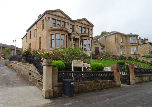
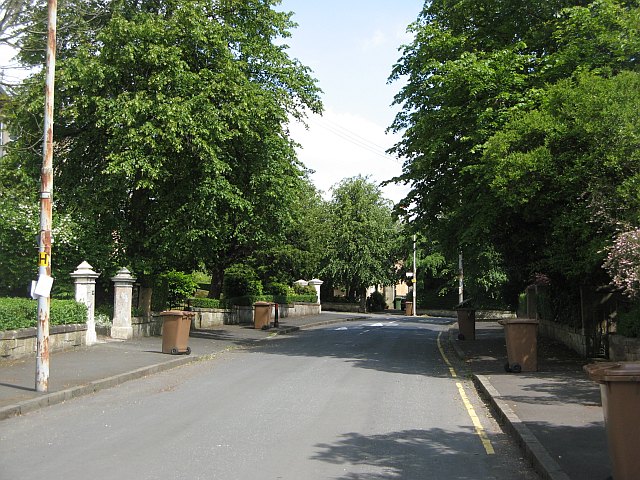
Dumbreck is known for its leafy streets, charming houses, and a peaceful atmosphere, making it an attractive place for families and professionals. The area offers a mix of traditional Victorian and Edwardian properties, as well as modern developments. The housing options range from cozy flats to spacious detached houses.
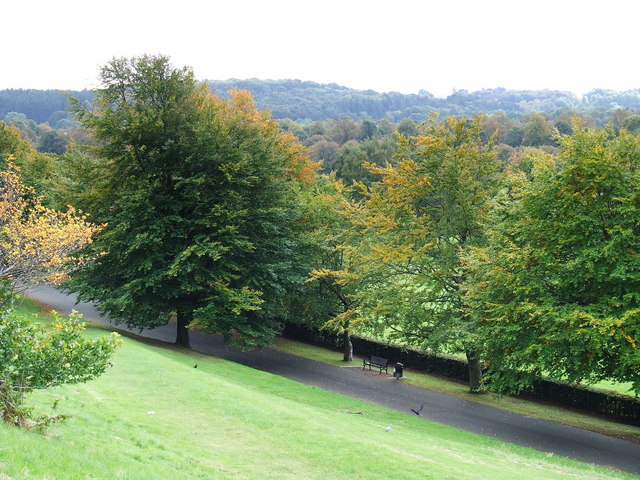
One of the notable landmarks in Dumbreck is the Pollok Country Park, which is one of the largest urban green spaces in Europe. The park offers numerous walking and cycling trails, as well as attractions like the Burrell Collection, Pollok House, and Pollok Golf Course. Residents of Dumbreck can enjoy the tranquility of the park, while still having easy access to the amenities and cultural offerings of Glasgow city center.
Transportation in Dumbreck is convenient, with regular bus services connecting the area to Glasgow city center and surrounding areas. The nearby M8 motorway also provides easy access to other parts of Scotland.
Overall, Dumbreck is a picturesque residential area with a strong sense of community, offering a peaceful suburban lifestyle while being within close proximity to the vibrant city of Glasgow.
If you have any feedback on the listing, please let us know in the comments section below.
Dumbreck Images
Images are sourced within 2km of 55.844626/-4.3052472 or Grid Reference NS5563. Thanks to Geograph Open Source API. All images are credited.


Dumbreck is located at Grid Ref: NS5563 (Lat: 55.844626, Lng: -4.3052472)
Unitary Authority: City of Glasgow
Police Authority: Greater Glasgow
What 3 Words
///stuck.upper.nail. Near Glasgow
Nearby Locations
Related Wikis
Dumbreck
Dumbreck (; Scottish Gaelic: An Dùn Breac, lit. 'the Speckled Fort') is an area in the city of Glasgow, Scotland. It is situated south of the River Clyde...
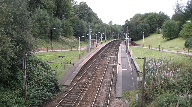
Dumbreck railway station
Dumbreck railway station is a railway station in Dumbreck, a district of Glasgow, Scotland. The station is managed by ScotRail and lies on the Paisley...
Bellahouston
Bellahouston (Scottish Gaelic: Baile Ùisdean, Scots: Hughstoun) is a district in the southwest of Glasgow. It is bordered by Dumbreck, Ibrox, Pollokshields...
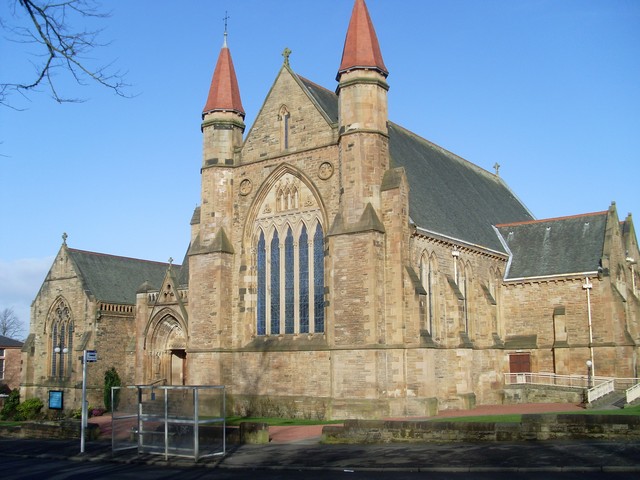
Sherbrooke Mosspark Church
Sherbrooke Mosspark Parish Church, also known as Sherbrooke St Gilbert's Church, is a congregation of the Church of Scotland serving the Pollokshields...
Nearby Amenities
Located within 500m of 55.844626,-4.3052472Have you been to Dumbreck?
Leave your review of Dumbreck below (or comments, questions and feedback).