Cooke's Copse

Wood, Forest in Oxfordshire South Oxfordshire

England

Cooke's Copse

Oxford transmitting station, Beckley A television and radio station.
Oxford transmitting station, Beckley Credit: Robin Webster

Cooke's Copse is a picturesque wood located in Oxfordshire, England. Situated near the village of Oxford, this forested area spans approximately 50 acres and is known for its natural beauty and diverse ecosystem.

The copse is predominantly made up of broadleaf trees such as oak, beech, and ash, which create a dense and lush canopy. These trees provide an ideal habitat for a variety of wildlife, including birds, small mammals, and insects. Additionally, the forest floor is covered in a rich carpet of ferns, mosses, and wildflowers, adding to the enchanting atmosphere of the woodland.

The copse is intersected by several footpaths, allowing visitors to explore its surroundings. These paths offer breathtaking views of the surrounding countryside, with rolling hills and meadows stretching out in all directions. There are also several benches strategically placed throughout the copse, providing opportunities for visitors to rest and soak in the tranquility of the surroundings.

Cooke's Copse is a popular destination for nature enthusiasts, hikers, and photographers. Its secluded location and peaceful ambiance make it an ideal spot for those seeking a break from the hustle and bustle of city life. The copse is also home to a variety of bird species, making it a great location for birdwatching.

Overall, Cooke's Copse is a hidden gem in Oxfordshire, offering a serene and captivating woodland experience for all who visit.

If you have any feedback on the listing, please let us know in the comments section below.

Cooke's Copse Images

Images are sourced within 2km of 51.797319/-1.1932436 or Grid Reference SP5511. Thanks to Geograph Open Source API. All images are credited.

Oxford transmitting station, Beckley A television and radio station.
Oxford transmitting station, Beckley
A television and radio station.
The Closes, RSPB Otmoor An area of wet grassland. Ot Moor was first drained in 1816 and had been divided up into fields by 1830. Since 1997 the RSPB have been recreating wetlands here.
The Closes, RSPB Otmoor
An area of wet grassland. Ot Moor was first drained in 1816 and had been divided up into fields by 1830. Since 1997 the RSPB have been recreating wetlands here.
Managed land, RSPB Otmoor A lot of shrubs have been cut down to ground level.
Managed land, RSPB Otmoor
A lot of shrubs have been cut down to ground level.
No entry to a conservation area, RSPB Otmoor Ot Moor was first drained in 1816 and had been divided up into fields by 1830. Since 1997 the RSPB have been recreating wetlands here.
No entry to a conservation area, RSPB Otmoor
Ot Moor was first drained in 1816 and had been divided up into fields by 1830. Since 1997 the RSPB have been recreating wetlands here.
Bench with a view of Moorleys, RSPB Otmoor Ot Moor was first drained in 1816 and had been divided up into fields by 1830. Since 1997 the RSPB have been recreating wetlands here.
Bench with a view of Moorleys, RSPB Otmoor
Ot Moor was first drained in 1816 and had been divided up into fields by 1830. Since 1997 the RSPB have been recreating wetlands here.
Public bridleway, RSB Otmoor The bridleway follows part of the perimeter of Ot Moor, which was first drained in 1816 and had been divided up into fields by 1830. Since 1997 the RSPB have been recreating wetlands here.
Public bridleway, RSB Otmoor
The bridleway follows part of the perimeter of Ot Moor, which was first drained in 1816 and had been divided up into fields by 1830. Since 1997 the RSPB have been recreating wetlands here.
Common reed along a drain, RSPB Otmoor Ot Moor was first drained in 1816 and had been divided up into fields by 1830. Since 1997 the RSPB have been recreating wetlands here.
Common reed along a drain, RSPB Otmoor
Ot Moor was first drained in 1816 and had been divided up into fields by 1830. Since 1997 the RSPB have been recreating wetlands here.
Bench along a bridleway, RSPB Otmoor Installed in memory of Barbara Joan Austin [1929 - 2004]. Ot Moor was first drained in 1816 and had been divided up into fields by 1830. Since 1997 the RSPB have been recreating wetlands here.
Bench along a bridleway, RSPB Otmoor
Installed in memory of Barbara Joan Austin [1929 - 2004]. Ot Moor was first drained in 1816 and had been divided up into fields by 1830. Since 1997 the RSPB have been recreating wetlands here.
Interactive exploration at RSPB Otmoor There was nothing underneath on this visit. Ot Moor was first drained in 1816 and had been divided up into fields by 1830. Since 1997 the RSPB have been recreating wetlands here.
Interactive exploration at RSPB Otmoor
There was nothing underneath on this visit. Ot Moor was first drained in 1816 and had been divided up into fields by 1830. Since 1997 the RSPB have been recreating wetlands here.
Please do not stand on the banks at RSPB Otmoor Sign alongside the visitor trail. Ot Moor was first drained in 1816 and had been divided up into fields by 1830. Since 1997 the RSPB have been recreating wetlands here.
Please do not stand on the banks at RSPB Otmoor
Sign alongside the visitor trail. Ot Moor was first drained in 1816 and had been divided up into fields by 1830. Since 1997 the RSPB have been recreating wetlands here.
Visitor trail, RSPB Otmoor Heading north towards Hals Frankham's lagoon. Ot Moor was first drained in 1816 and had been divided up into fields by 1830. Since 1997 the RSPB have been recreating wetlands here.
Visitor trail, RSPB Otmoor
Heading north towards Hals Frankham's lagoon. Ot Moor was first drained in 1816 and had been divided up into fields by 1830. Since 1997 the RSPB have been recreating wetlands here.
Screened permissive path, RSPB Otmoor Close to the Wetlands Watch building. Ot Moor was first drained in 1816 and had been divided up into fields by 1830. Since 1997 the RSPB have been recreating wetlands here.
Screened permissive path, RSPB Otmoor
Close to the Wetlands Watch building. Ot Moor was first drained in 1816 and had been divided up into fields by 1830. Since 1997 the RSPB have been recreating wetlands here.
Ashgrave, west from the Wetlands Watch, RSPB Otmoor Ot Moor was first drained in 1816 and had been divided up into fields by 1830. Since 1997 the RSPB have been recreating wetlands here.
Ashgrave, west from the Wetlands Watch, RSPB Otmoor
Ot Moor was first drained in 1816 and had been divided up into fields by 1830. Since 1997 the RSPB have been recreating wetlands here.
Ashgrave, north from the Wetlands Watch, RSPB Otmoor Ot Moor was first drained in 1816 and had been divided up into fields by 1830. Since 1997 the RSPB have been recreating wetlands here.
Ashgrave, north from the Wetlands Watch, RSPB Otmoor
Ot Moor was first drained in 1816 and had been divided up into fields by 1830. Since 1997 the RSPB have been recreating wetlands here.
Ashgrave, south from the Wetlands Watch, RSPB Otmoor Ot Moor was first drained in 1816 and had been divided up into fields by 1830. Since 1997 the RSPB have been recreating wetlands here.
Ashgrave, south from the Wetlands Watch, RSPB Otmoor
Ot Moor was first drained in 1816 and had been divided up into fields by 1830. Since 1997 the RSPB have been recreating wetlands here.
Screened path from the Wetlands Watch, RSPB Otmoor Ot Moor was first drained in 1816 and had been divided up into fields by 1830. Since 1997 the RSPB have been recreating wetlands here.
Screened path from the Wetlands Watch, RSPB Otmoor
Ot Moor was first drained in 1816 and had been divided up into fields by 1830. Since 1997 the RSPB have been recreating wetlands here.
Bridleway on the route of a Roman road, near RSPB Otmoor Looking north.
Bridleway on the route of a Roman road, near RSPB Otmoor
Looking north.
House in Noke Bungalow in the village of Noke.
House in Noke
Bungalow in the village of Noke.
Show me another place!

Cooke's Copse is located at Grid Ref: SP5511 (Lat: 51.797319, Lng: -1.1932436)

Administrative County: Oxfordshire

District: South Oxfordshire

Police Authority: Thames Valley

What 3 Words

///array.delight.storyline. Near Oxford, Oxfordshire

Related Wikis

Beckley, Oxfordshire

Beckley is a village in the civil parish of Beckley and Stowood, in the South Oxfordshire district, in the county of Oxfordshire, England. It is about...

Oxford transmitting station

The Oxford transmitting station (sometimes known as the Beckley transmitter) is a broadcasting and telecommunications facility, situated on land 129.5...

Oxford Montessori Schools

Oxford Montessori Schools is a group of progressive, co-educational private schools based in and around Oxford, England. Founded in 1990, the Oxford Montessori...

Woodeaton Wood

Woodeaton Wood is a 14-hectare (35-acre) biological Site of Special Scientific Interest north of Oxford in Oxfordshire.This coppice with standards on calcareous...
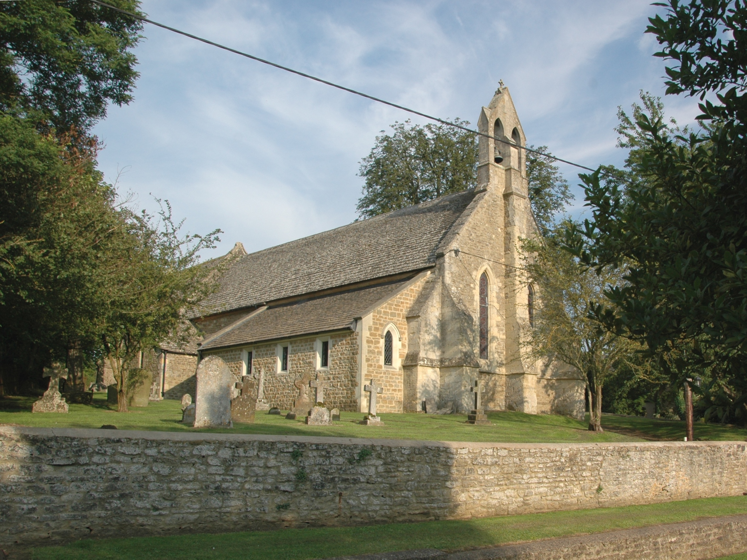
Woodperry House

Woodperry House is a Grade I listed building in Stanton St John, South Oxfordshire, England. Woodperry was built from 1728 for John Morse, a London goldsmith...
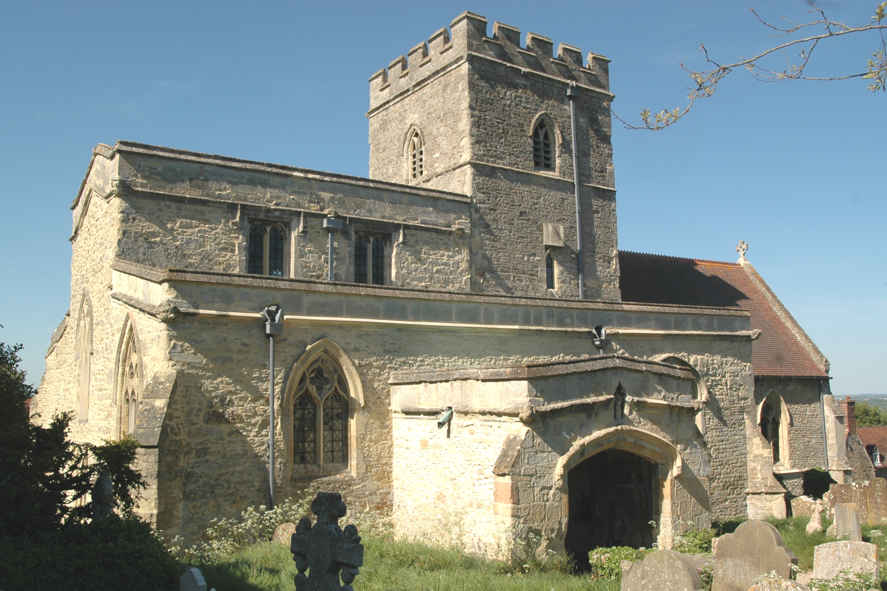
Elsfield

Elsfield is an English village and civil parish about 3 miles (5 km) northeast of the centre of Oxford. The village is 310 feet (94 m) above sea level...
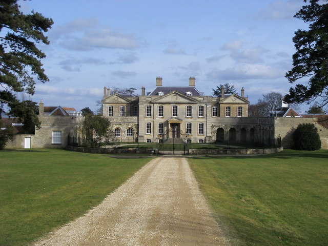
Beckley Park

Beckley Park is an English country house located near the village of Beckley, in Oxfordshire, England. It was built in 1540 by Lord Williams of Thame,...

Noke, Oxfordshire

Noke is a small village and civil parish in Oxfordshire about 5 miles (8 km) northeast of Oxford. It is on the southeast edge of Otmoor and is one of the...

Nearby Amenities

Located within 500m of 51.797319,-1.1932436
Barrier: kissing_gate
Foot: yes
Lat/Long: 51.800886/-1.1896832
Barrier: stile
Lat/Long: 51.7980213/-1.2003314
Barrier: stile
Lat/Long: 51.7980053/-1.2002885
Post Box
Collection Times: Mo-Fr 16:30; Sa 10:00
Post Box Type: wall
Ref: OX3 615
Royal Cypher: EIIR
Royal Cypher Wikidata: Q33102113
Lat/Long: 51.7947079/-1.1951041
Entrance: main
Lat/Long: 51.7978112/-1.1861392
Power: pole
Source: Bing
Lat/Long: 51.7982148/-1.1985868
Power: pole
Source: Bing
Lat/Long: 51.7988236/-1.1968649
Power: pole
Source: Bing
Lat/Long: 51.7975994/-1.2003222
Turning Loop
Lat/Long: 51.7943796/-1.1938562
The data included in this document is from www.openstreetmap.org. The data is made available under ODbL.

Have you been to Cooke's Copse?

Leave your review of Cooke's Copse below (or comments, questions and feedback).