Holme Carr Wood
Wood, Forest in Nottinghamshire Bassetlaw
England
Holme Carr Wood

Holme Carr Wood is a picturesque woodland located in Nottinghamshire, England. Covering an area of approximately 10 acres, this woodland is a popular destination for nature enthusiasts and hikers alike. Situated near the village of Holme Pierrepont, the wood is easily accessible and offers a tranquil escape from the hustle and bustle of city life.
The woodland is predominantly made up of native British trees, including oak, birch, and beech. These trees create a dense canopy, providing shade and creating a cool atmosphere even on the warmest days. The forest floor is covered in a thick layer of leaf litter, creating a natural carpet that provides a habitat for a variety of flora and fauna.
Holme Carr Wood is also home to a diverse range of wildlife. Visitors may be lucky enough to spot red foxes, badgers, and numerous species of birds, such as woodpeckers and owls. The woodland is particularly known for its population of deer, which can often be seen grazing in clearings or darting through the trees.
The wood offers a network of well-maintained footpaths, allowing visitors to explore its beauty at their own pace. There are also several benches strategically placed throughout the woodland, providing opportunities for visitors to rest and take in the surroundings.
Overall, Holme Carr Wood is a charming natural oasis that offers a peaceful retreat for anyone seeking to connect with nature. With its diverse range of flora and fauna, it is a haven for wildlife enthusiasts and a perfect spot for a leisurely stroll or a family picnic.
If you have any feedback on the listing, please let us know in the comments section below.
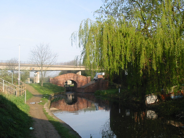
Holme Carr Wood Images
Images are sourced within 2km of 53.313968/-1.1653791 or Grid Reference SK5579. Thanks to Geograph Open Source API. All images are credited.


Holme Carr Wood is located at Grid Ref: SK5579 (Lat: 53.313968, Lng: -1.1653791)
Administrative County: Nottinghamshire
District: Bassetlaw
Police Authority: Nottinghamshire
What 3 Words
///kite.track.soccer. Near Worksop, Nottinghamshire
Nearby Locations
Related Wikis
Rhodesia, Nottinghamshire
Rhodesia is a village and civil parish in the Bassetlaw district of Nottinghamshire, England. The village lies just west of the town of Worksop, and approximately...

Shireoaks Hall
Shireoaks Hall is a grade II* listed 17th-century country house in the hamlet of Shireoaks, 2+1⁄4 miles (3.6 km) north-west of Worksop, Nottinghamshire...

Shireoaks Colliery
Shireoaks Colliery was a coal mine situated on the edge of the village of Shireoaks, near Worksop in North Nottinghamshire, close by the Yorkshire border...
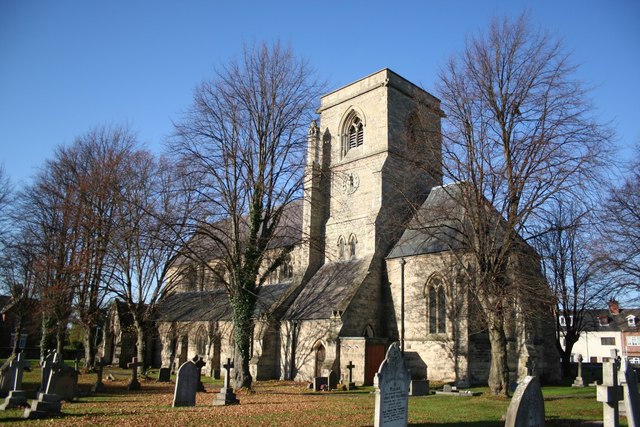
St Luke's Church, Shireoaks
St Luke's Church, Shireoaks is a Grade II listed Church of England parish church in Shireoaks, Nottinghamshire. == History == The church was built in a...
Steetley Company Ground
Steetley Company Ground is a cricket ground in Shireoaks, Nottinghamshire, England. The ground was laid out in 1951 and the first important match on the...

Shireoaks
Shireoaks is a former pit village and civil parish in Nottinghamshire, located between Worksop and Thorpe Salvin on the border with South Yorkshire. The...
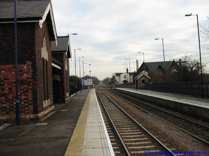
Shireoaks railway station
Shireoaks railway station serves the village of Shireoaks in Nottinghamshire, England. It was opened by the Sheffield and Lincolnshire Junction Railway...
Steetley Colliery
Steetley Colliery is a former colliery on the Derbyshire/Nottinghamshire border. == History == The Duke of Newcastle owned mineral rights in much of north...
Nearby Amenities
Located within 500m of 53.313968,-1.1653791Have you been to Holme Carr Wood?
Leave your review of Holme Carr Wood below (or comments, questions and feedback).