Big Ings Wood
Wood, Forest in Yorkshire Hambleton
England
Big Ings Wood
Big Ings Wood is a picturesque woodland located in the county of Yorkshire, England. Nestled within the rural landscape, this woodland covers an expansive area and is known for its natural beauty and diverse ecosystem.
The wood is home to a wide variety of plant and animal species, making it a haven for nature enthusiasts and wildlife lovers. The dense canopy of trees, including species such as oak, birch, and beech, provides shelter and sustenance for numerous bird species, including woodpeckers, owls, and songbirds. Small mammals like squirrels, rabbits, and foxes can also be spotted amidst the undergrowth.
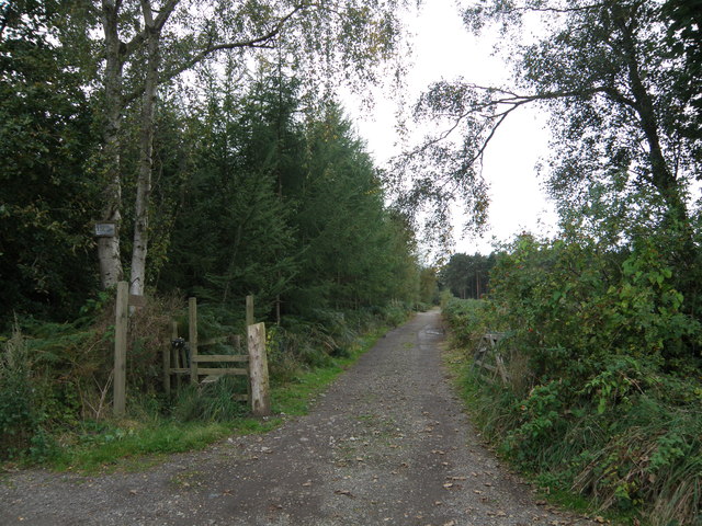
Visitors to Big Ings Wood can enjoy leisurely walks along the well-maintained trails that crisscross the area. The peaceful ambiance and tranquil surroundings make it an ideal spot for relaxation and reconnecting with nature. The woodland also offers opportunities for activities such as birdwatching, photography, and nature study.
Big Ings Wood is managed by a dedicated team of conservationists and volunteers who work tirelessly to preserve its natural habitats and promote biodiversity. They regularly organize guided walks, educational programs, and events to raise awareness about the importance of woodlands and their ecological significance.
Located in the heart of Yorkshire, Big Ings Wood is easily accessible by car and is a popular destination for both locals and tourists looking to escape the hustle and bustle of city life and immerse themselves in the beauty of nature.
If you have any feedback on the listing, please let us know in the comments section below.
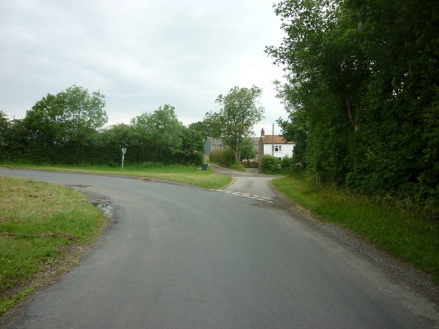
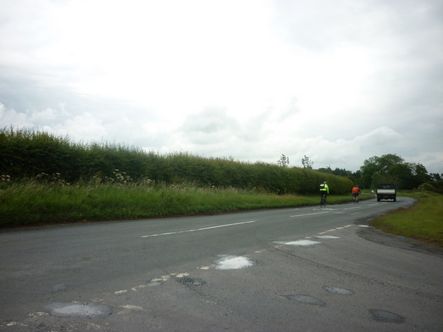
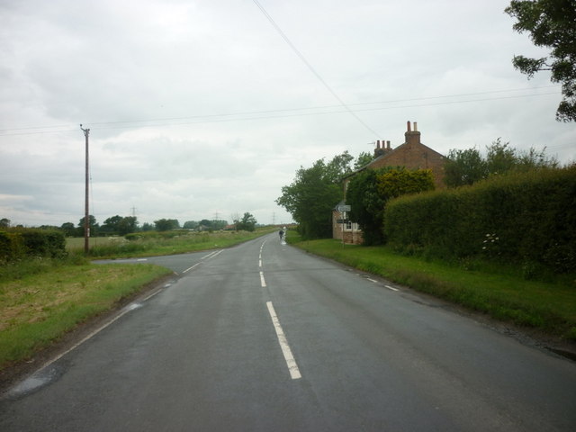
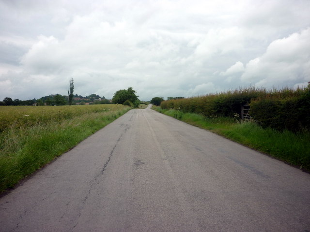
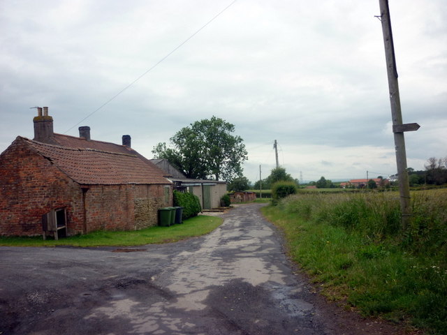
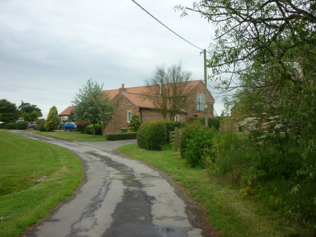
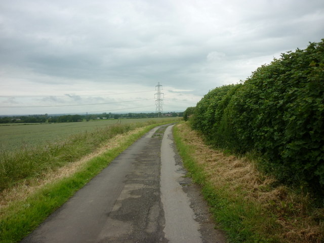
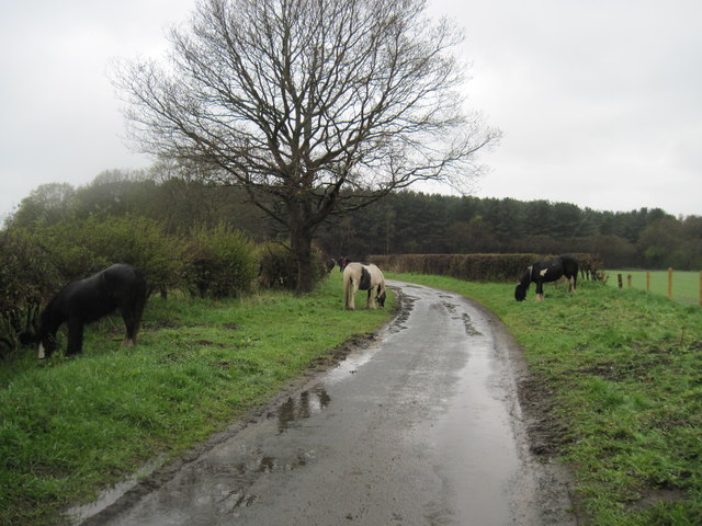
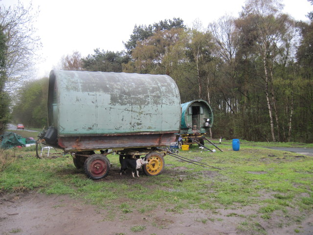
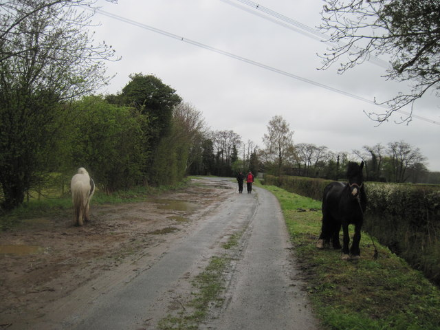
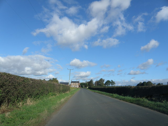
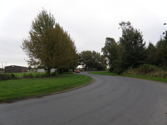
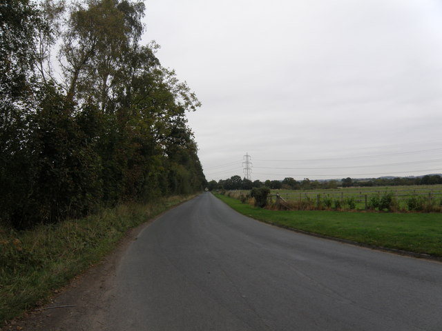
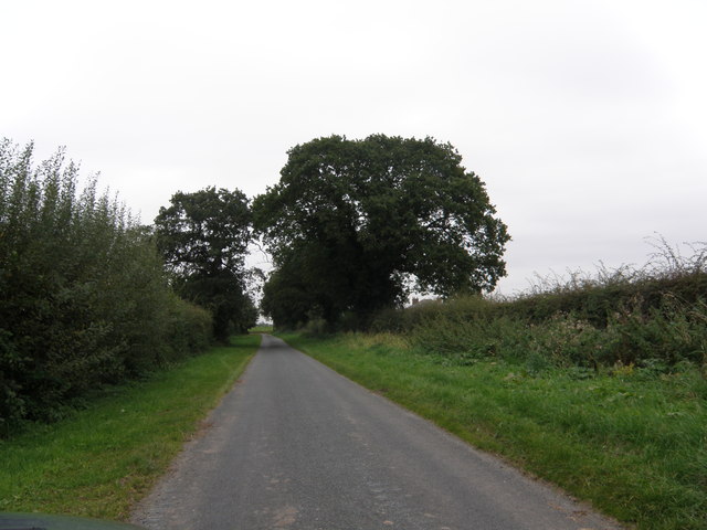
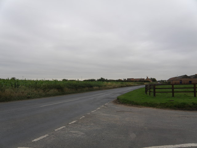
Big Ings Wood Images
Images are sourced within 2km of 54.104218/-1.1514156 or Grid Reference SE5567. Thanks to Geograph Open Source API. All images are credited.


Big Ings Wood is located at Grid Ref: SE5567 (Lat: 54.104218, Lng: -1.1514156)
Division: North Riding
Administrative County: North Yorkshire
District: Hambleton
Police Authority: North Yorkshire
What 3 Words
///sharpens.presumes.silver. Near Easingwold, North Yorkshire
Nearby Locations
Related Wikis

Emergency Planning College
The Emergency Planning College also known as "the Hawkhills" foremost a college, based in the United Kingdom which is involved in activities to promote...

Vale of York (UK Parliament constituency)
Vale of York was a county constituency represented in the House of Commons of the Parliament of the United Kingdom. It elected one Member of Parliament...

Huby, Hambleton
Huby is a village and civil parish in the Hambleton District of North Yorkshire, England, about nine and a half miles north of York and five miles south...

Raskelf
Raskelf is a village and civil parish in North Yorkshire, England. The electoral roll has a population of around 400 measured at 519 in the 2011 census...

St Cuthbert's Church, Crayke
St Cuthbert's Church is in the village of Crayke, North Yorkshire, England. It is an active Anglican parish church in the deanery of Easingwold, the archdeaconry...

Crayke
Crayke is a village and civil parish in North Yorkshire, England, about 2 miles (3.2 km) east of Easingwold. == Etymology == The name Crayke is of Brittonic...

Crayke Castle
Crayke Castle is a Grade I listed 15th-century castle in Crayke, North Yorkshire, England. The castle consists of a restored 15th-century four-storey tower...

Stillington, North Yorkshire
Stillington is a village and civil parish in the district and county of North Yorkshire, England. It lies on the York to Helmsley road about 10 miles...
Nearby Amenities
Located within 500m of 54.104218,-1.1514156Have you been to Big Ings Wood?
Leave your review of Big Ings Wood below (or comments, questions and feedback).