Lilbourne Gorse
Wood, Forest in Northamptonshire
England
Lilbourne Gorse

Lilbourne Gorse is a small village located in the county of Northamptonshire, England. Situated in the heart of the countryside, it is surrounded by vast woodlands and dense forests, making it an ideal destination for nature enthusiasts and those seeking a peaceful retreat.
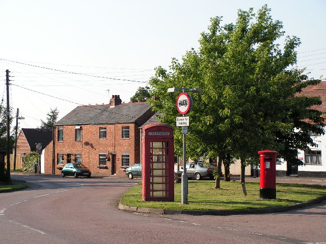
The village itself is quaint and picturesque, with traditional stone cottages and charming gardens. It has a close-knit community, with a population of around 300 residents. The village is known for its sense of community spirit, with regular events and activities organized by the locals.
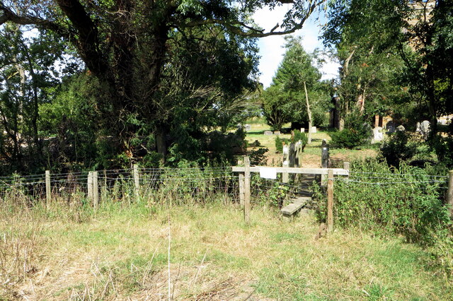
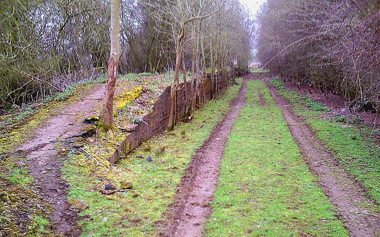
Lilbourne Gorse is particularly renowned for its natural beauty. The woodlands and forests that encompass the village provide a haven for a wide variety of flora and fauna. Visitors can expect to see a diverse range of tree species, including oak, beech, and birch, as well as an abundance of wildlife such as deer, foxes, and numerous bird species.
For those who enjoy outdoor activities, Lilbourne Gorse offers an array of options. Walking and hiking trails crisscross the surrounding woodlands, allowing visitors to explore and immerse themselves in the natural surroundings. There are also designated picnic areas, perfect for enjoying a leisurely meal amidst the tranquil setting.
In summary, Lilbourne Gorse is a beautiful village nestled within the woodlands and forests of Northamptonshire. It offers a peaceful and scenic escape from the hustle and bustle of city life, with its charming village atmosphere and abundant natural beauty.
If you have any feedback on the listing, please let us know in the comments section below.
Lilbourne Gorse Images
Images are sourced within 2km of 52.39167/-1.1864803 or Grid Reference SP5577. Thanks to Geograph Open Source API. All images are credited.


Lilbourne Gorse is located at Grid Ref: SP5577 (Lat: 52.39167, Lng: -1.1864803)
Unitary Authority: West Northamptonshire
Police Authority: Northamptonshire
What 3 Words
///unsecured.sweat.mastering. Near Rugby, Warwickshire
Nearby Locations
Related Wikis

Catthorpe
Catthorpe is a village and civil parish in the Harborough district of Leicestershire, England. It is located beside the River Avon and close to the A5...
Lilbourne railway station
Lilbourne railway station was a railway station serving Lilbourne and nearby Catthorpe in Leicestershire, England. It was on the Rugby and Stamford Railway...
Lilbourne
Lilbourne is a village and civil parish in West Northamptonshire in England. It is close to the M1 motorway which runs east of the village, and the A5...

Dow Bridge
Dow Bridge is a location in the English Midlands where the A5 road (the former Roman Watling Street) crosses the River Avon. It is the point where the...

Catthorpe Interchange
The Catthorpe Interchange is a major intersection at the southern end of the M6, the western end of the A14 and junction 19 of the M1 near the village...
RAF Lilbourne
RAF Lilbourne is a former Royal Air Force station which was located 5.2 miles (8.4 km) south of Lutterworth, Leicestershire, England. The airfield opened...
Swinford Preceptory
Swinford Preceptory is a former monastery of the Knights Hospitaller located near to the village of Swinford, Leicestershire. == History == The preceptory...
Greenhaven Woodland Burial Ground
Greenhaven Woodland Burial Ground is a natural burial ground located in the village of Lilbourne, 5 miles (8 km) from the town of Rugby, England. It opened...
Nearby Amenities
Located within 500m of 52.39167,-1.1864803Have you been to Lilbourne Gorse?
Leave your review of Lilbourne Gorse below (or comments, questions and feedback).