The Moors
Wood, Forest in Northamptonshire
England
The Moors
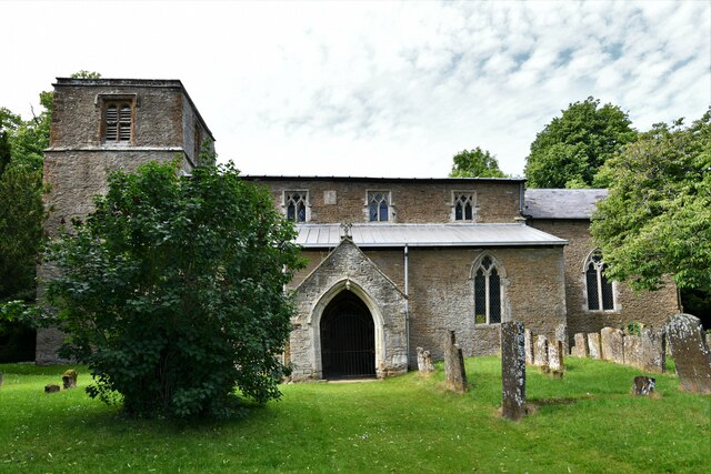
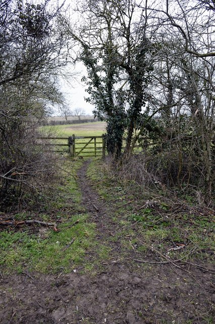
The Moors, located in Northamptonshire, is a picturesque woodland area known for its natural beauty and diverse wildlife. Spanning over an expansive area, The Moors is a haven for nature enthusiasts and outdoor lovers alike.
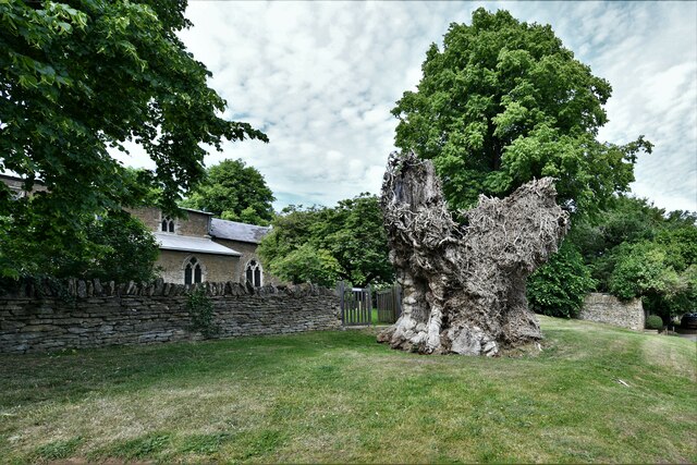
The woodland is characterized by its dense canopy of trees, primarily consisting of oak, birch, and pine varieties. The foliage creates a serene atmosphere, providing a peaceful retreat from the hustle and bustle of city life. The forest floor is covered in a thick carpet of moss and ferns, adding to the charm and tranquility of the surroundings.
The Moors is home to a wide range of wildlife, including various bird species, small mammals, and insects. Birdwatchers will delight in spotting species such as woodpeckers, owls, and finches. Squirrels scurrying through the treetops and rabbits hopping across the clearings are a common sight, adding to the enchantment of the woodland.
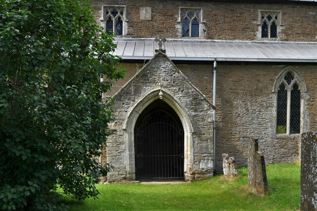
The forest offers numerous walking trails and paths, allowing visitors to explore its vast expanse and discover hidden gems along the way. There are also designated picnic areas, where visitors can relax and enjoy a meal amidst the natural beauty.
The Moors is a popular destination for outdoor activities such as hiking, cycling, and birdwatching. The serene atmosphere and scenic surroundings make it an ideal location for nature photography and painting.
Overall, The Moors in Northamptonshire is a captivating woodland, offering a peaceful and idyllic retreat for those seeking a connection with nature. Its enchanting beauty and diverse wildlife make it a must-visit destination for nature enthusiasts and outdoor adventurers.
If you have any feedback on the listing, please let us know in the comments section below.
The Moors Images
Images are sourced within 2km of 51.998631/-1.1975402 or Grid Reference SP5533. Thanks to Geograph Open Source API. All images are credited.


The Moors is located at Grid Ref: SP5533 (Lat: 51.998631, Lng: -1.1975402)
Unitary Authority: West Northamptonshire
Police Authority: Northamptonshire
What 3 Words
///darkens.sobs.sues. Near Brackley, Northamptonshire
Nearby Locations
Related Wikis

Death of Harry Dunn
Harry Dunn was a 19-year-old British man who died following a road traffic collision on 27 August 2019. He was riding his motorcycle near Croughton, Northamptonshire...

Croughton, Northamptonshire
Croughton is a village and civil parish in West Northamptonshire, England, about 3 miles (5 km) southwest of Brackley. The 2011 Census recorded the parish...

RAF Croughton
Royal Air Force Croughton or more simply RAF Croughton is a Royal Air Force station which is currently a United States Air Force communications station...

Rainsborough Camp
Rainsborough Camp is an Iron Age hillfort in West Northamptonshire, England, between the villages of Croughton, Aynho, and Charlton. == Location and... ==
Juniper Hill
Juniper Hill is a hamlet in the civil parish of Cottisford in Oxfordshire, England, 2 miles (3.2 km) south of Brackley in neighbouring Northamptonshire...
Hinton-in-the-Hedges
Hinton-in-the-Hedges is a small village and civil parish in West Northamptonshire, England, two miles (three kilometres) due west of the town of Brackley...

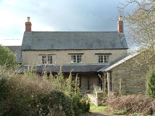
The Cottage, Charlton, Northamptonshire
The Cottage, Charlton, Northamptonshire, England is a house of 18th century origins. In 1907 it was bought by F. E. Smith, 1st Earl of Birkenhead as his...

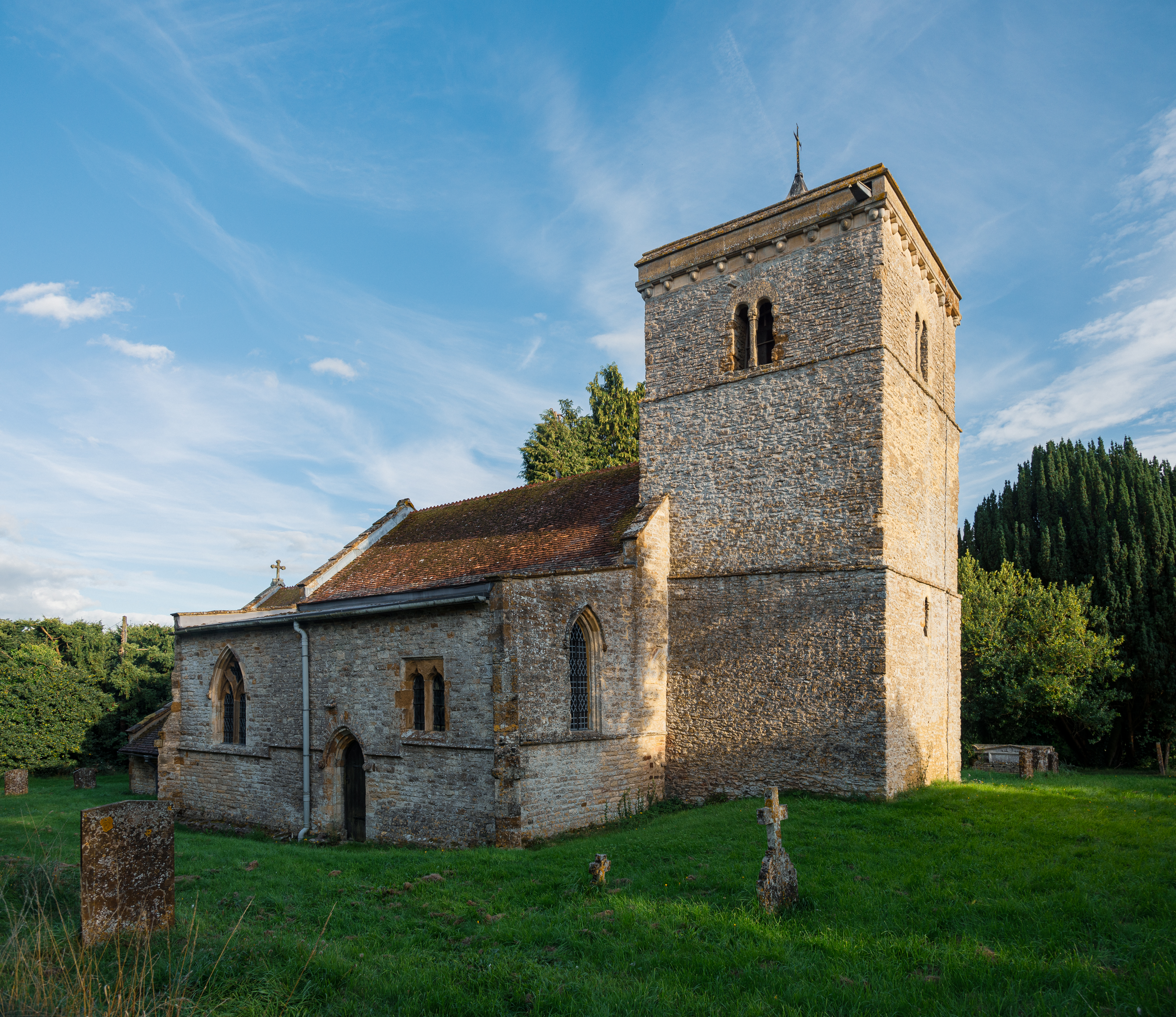
Charlton, Northamptonshire
Charlton is a village in the parish of Newbottle, Northamptonshire, England in between Brackley and Kings Sutton, lying close to a small tributary of the...
Nearby Amenities
Located within 500m of 51.998631,-1.1975402Have you been to The Moors?
Leave your review of The Moors below (or comments, questions and feedback).