T Plantation
Wood, Forest in Yorkshire
England
T Plantation
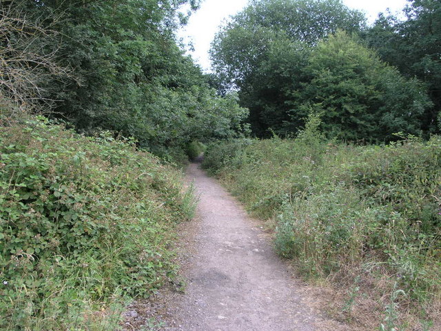
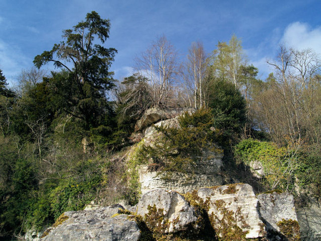
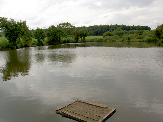
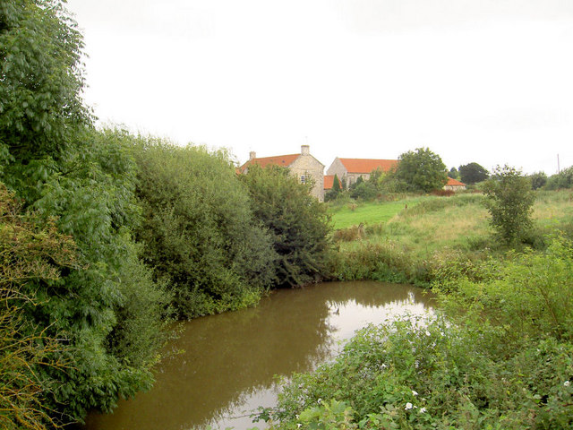
T Plantation, located in Yorkshire, is a picturesque woodland area known for its rich history and natural beauty. Spanning a vast expanse, the plantation is nestled within the rolling hills and green landscapes of Yorkshire, creating a tranquil and serene atmosphere.
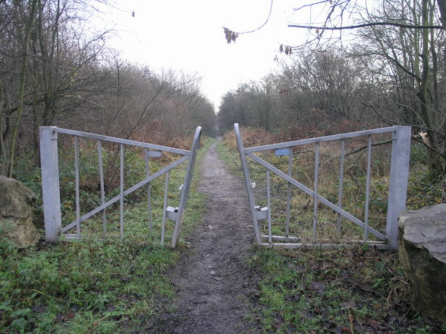
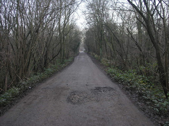
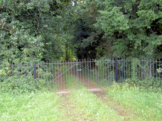
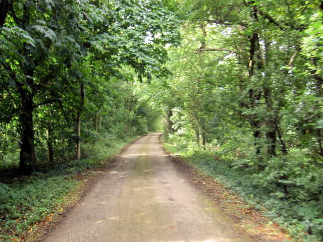
The plantation is predominantly composed of various species of trees, including oak, birch, and pine, creating a diverse and lush forest ecosystem. The woodland is home to a wide array of flora and fauna, making it an ideal destination for nature enthusiasts and wildlife lovers. Visitors can enjoy leisurely walks along the numerous trails, immersing themselves in the peaceful ambiance while admiring the vibrant colors of the changing seasons.
T Plantation holds significant historical importance, with records dating back several centuries. It was originally established as a timber plantation during the medieval period to meet the region's growing demands for timber and other wood-related products. The plantation played a crucial role in supplying the local construction industry and fueling the region's economic growth.
Today, T Plantation continues its legacy as a hub for sustainable forestry practices and conservation efforts. It serves as an educational site for visitors to learn about the importance of woodland preservation and the balance between human activities and environmental sustainability. The plantation also hosts various events throughout the year, such as guided walks, workshops, and tree planting initiatives, in order to engage the local community and raise awareness about the significance of protecting our natural resources.
Overall, T Plantation stands as a testament to Yorkshire's natural beauty and cultural heritage, offering a peaceful retreat for nature enthusiasts and a valuable resource for sustainable forestry practices.
If you have any feedback on the listing, please let us know in the comments section below.
T Plantation Images
Images are sourced within 2km of 53.405446/-1.1715025 or Grid Reference SK5590. Thanks to Geograph Open Source API. All images are credited.


T Plantation is located at Grid Ref: SK5590 (Lat: 53.405446, Lng: -1.1715025)
Division: West Riding
Unitary Authority: Rotherham
Police Authority: South Yorkshire
What 3 Words
///headers.smart.printer. Near Maltby, South Yorkshire
Nearby Locations
Related Wikis

Stone, South Yorkshire
Stone is a hamlet in the civil parish of Maltby, in the Rotherham district lying to the south of Rotherham, South Yorkshire, England. Roche Abbey stands...

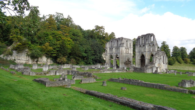
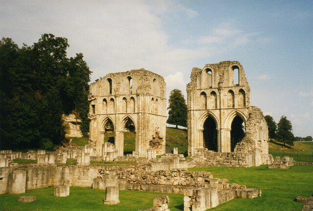
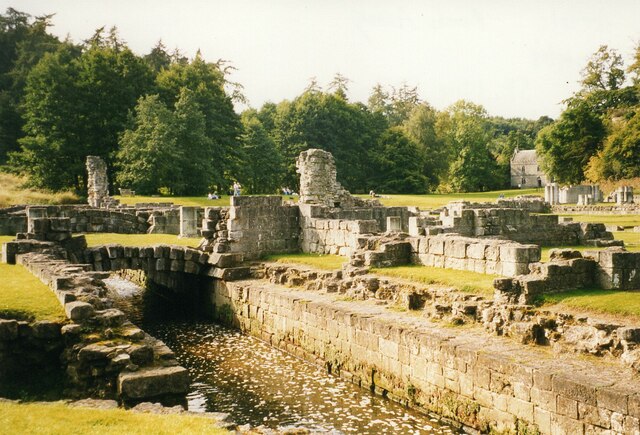
Roche Abbey
Roche Abbey is a now-ruined abbey in the civil parish of Maltby, Rotherham, South Yorkshire, England. It is in the valley of Maltby Dyke, known locally...

Maltby Main F.C.
Maltby Main Football Club is a football club based in Maltby, Rotherham, South Yorkshire. They are currently members of the Northern Counties East League...

Maltby railway station
Maltby railway station was located on the South Yorkshire Joint Railway (SYJR) on the eastern edge of Maltby, South Yorkshire, England. It opened 1910...
ROF Maltby
ROF Maltby was a Royal Ordnance Factory rifle manufacturing plant near Maltby, South Yorkshire which manufactured weapons such as the Lee–Enfield rifle...
RAF Firbeck
Royal Air Force Firbeck or more simply RAF Firbeck is a former Royal Air Force station located west of Firbeck, South Yorkshire, England. The airfield...
Firbeck
Firbeck is a village and civil parish in the Metropolitan Borough of Rotherham in South Yorkshire, England, on the border with Nottinghamshire. It lies...
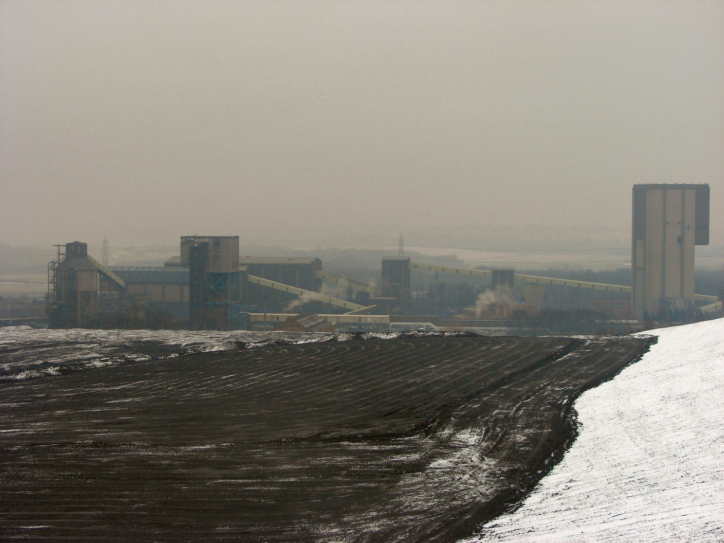
Maltby Main Colliery
The Maltby Main Colliery was a coal mine located 7 miles (11 km) east of Rotherham on the eastern edge of Maltby, South Yorkshire, England. The mine was...
Nearby Amenities
Located within 500m of 53.405446,-1.1715025Have you been to T Plantation?
Leave your review of T Plantation below (or comments, questions and feedback).