Southfield Shaw
Wood, Forest in Berkshire
England
Southfield Shaw
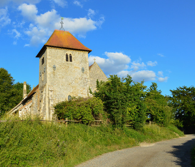
Southfield Shaw is a picturesque woodland area located in the county of Berkshire, England. Situated in the southern part of the county, it covers a sprawling expanse of dense forest and is known for its natural beauty and tranquility. The woodland is part of the Shaw House Estate and is managed by the local council.
The area is characterized by a variety of tree species, including oak, beech, and pine, creating a diverse and vibrant ecosystem. The dense foliage provides a haven for numerous wildlife species, making it a popular spot for nature enthusiasts and birdwatchers. Visitors may catch a glimpse of deer, foxes, and a wide array of bird species as they explore the woodland trails.
Southfield Shaw offers an idyllic escape from the hustle and bustle of urban life. The tranquil atmosphere and stunning scenery make it an ideal destination for walking, hiking, and picnicking. Numerous well-marked trails wind their way through the woodland, allowing visitors to immerse themselves in the natural surroundings and enjoy the fresh air.
The woodland is also steeped in history, with evidence of human habitation dating back to ancient times. Archaeological finds, including pottery and tools, have been discovered within the area, highlighting its significance as a historical site. Additionally, Southfield Shaw is dotted with remnants of old structures, such as the ruins of a medieval chapel, adding to its charm and allure.
Overall, Southfield Shaw in Berkshire is a captivating woodland retreat that offers a perfect blend of natural beauty, wildlife, and historical intrigue. Whether seeking solitude or adventure, visitors are sure to find solace and inspiration within its enchanting embrace.
If you have any feedback on the listing, please let us know in the comments section below.
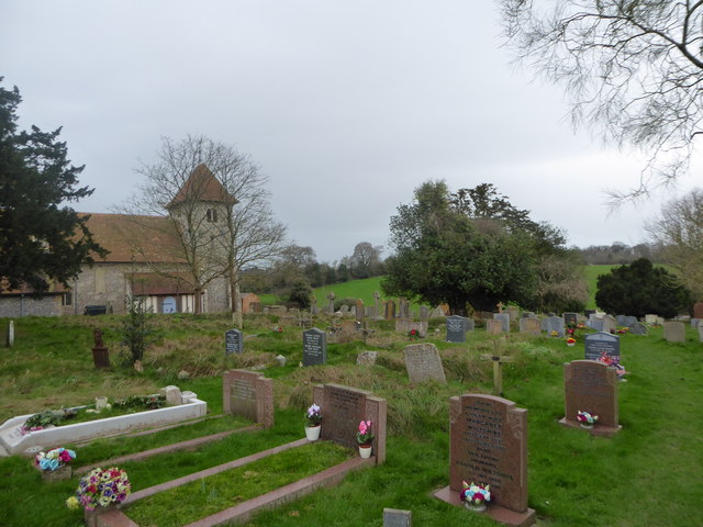
Southfield Shaw Images
Images are sourced within 2km of 51.502491/-1.2107337 or Grid Reference SU5478. Thanks to Geograph Open Source API. All images are credited.


Southfield Shaw is located at Grid Ref: SU5478 (Lat: 51.502491, Lng: -1.2107337)
Unitary Authority: West Berkshire
Police Authority: Thames Valley
What 3 Words
///consults.securing.slopes. Near Compton, Berkshire
Nearby Locations
Related Wikis

Aldworth
Aldworth is a village and mainly farmland civil parish in the English county of Berkshire, near the boundary with Oxfordshire. == Orthography and slight... ==

RAF Hampstead Norris
Royal Air Force Hampstead Norris or more simply RAF Hampstead Norris is a former Royal Air Force satellite station located 1.3 miles (2.1 km) north east...
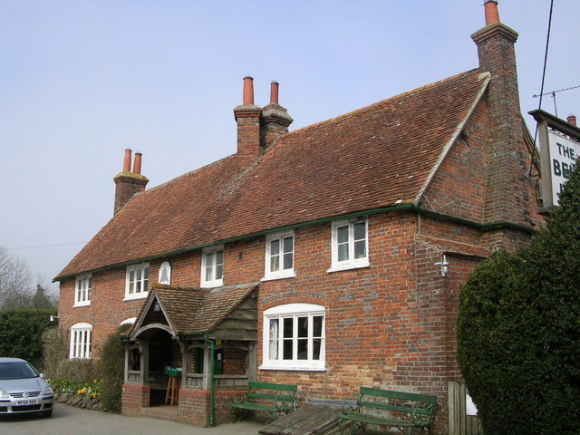
The Bell Inn, Aldworth
The Bell Inn is a pub at the village of Aldworth, in the English county of West Berkshire. It won CAMRA's National Pub of the Year in 1990, and received...

Ashampstead
Ashampstead is a small village and civil parish in the rural area between Reading, Newbury and Streatley in Berkshire, England. The parish population is...
Nearby Amenities
Located within 500m of 51.502491,-1.2107337Have you been to Southfield Shaw?
Leave your review of Southfield Shaw below (or comments, questions and feedback).