Cuckney Hay Wood
Wood, Forest in Nottinghamshire Bassetlaw
England
Cuckney Hay Wood

Cuckney Hay Wood is a picturesque woodland located in the county of Nottinghamshire, England. Covering an area of approximately 12 hectares, this beautiful forest is situated near the village of Cuckney, just a few miles northeast of the town of Worksop.
The woodland is predominantly composed of broadleaf trees, including oak, beech, and birch, which create a rich and diverse habitat for a wide range of flora and fauna. The forest floor is carpeted with an array of wildflowers, such as bluebells and primroses, which bloom vibrantly during the spring months.
Cuckney Hay Wood is a popular destination for nature enthusiasts and walkers, who come to explore the network of well-maintained footpaths that wind their way through the forest. These paths offer visitors the opportunity to observe the local wildlife, including deer, foxes, and a variety of bird species.
The woodland is also home to several ancient trees, some of which are estimated to be over 200 years old. These majestic giants provide a sense of history and add to the enchanting atmosphere of the wood.
Managed by the Forestry Commission, Cuckney Hay Wood is a designated Site of Special Scientific Interest (SSSI), highlighting its importance for conservation and biodiversity. The wood is carefully protected to maintain its ecological balance and preserve its natural beauty.
Overall, Cuckney Hay Wood offers visitors a tranquil escape into nature, where they can immerse themselves in the serenity of the forest and witness the wonders of the natural world.
If you have any feedback on the listing, please let us know in the comments section below.
Cuckney Hay Wood Images
Images are sourced within 2km of 53.222117/-1.1807203 or Grid Reference SK5469. Thanks to Geograph Open Source API. All images are credited.


Cuckney Hay Wood is located at Grid Ref: SK5469 (Lat: 53.222117, Lng: -1.1807203)
Administrative County: Nottinghamshire
District: Bassetlaw
Police Authority: Nottinghamshire
What 3 Words
///unfocused.barbarian.infects. Near Upper Langwith, Derbyshire
Nearby Locations
Related Wikis
Warsop Vale
Warsop Vale is a village in the Mansfield district of western Nottinghamshire, England. It is 18 miles (29 km) north of Nottingham, and 5 miles (8.0 km...

Cuckney Hill
Cuckney Hill lies between the village of Cuckney and the town of Market Warsop, in Nottinghamshire, East Midlands, England. Locals ironically to it as...
Nether Langwith
Nether Langwith is a village and civil parish, in the Bassetlaw district of Nottinghamshire, England. It is located 9 miles (14 km) east of Chesterfield...
Langwith Colliery railway station
Langwith Colliery railway station served the miners of the colliery in Whaley Thorns, Derbyshire, England, from 1894 to 1945 on the Mansfield to Worksop...
Whaley Thorns
Whaley Thorns is a former colliery village in the Bolsover district of Derbyshire, England, close to the Nottinghamshire border. Whaley Thorns lies just...
Langwith railway station
Langwith is a former railway station in the Langwith Maltings area of Langwith in north eastern Derbyshire, England. == Context == The station was built...

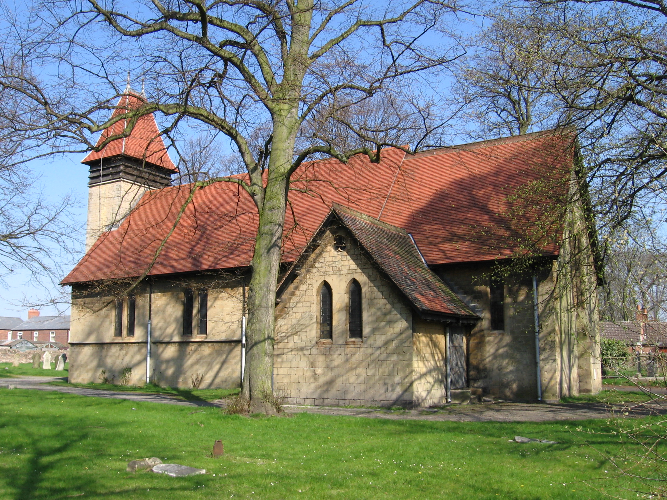
St Peter and St Paul's Church, Church Warsop
St Peter and St Paul's Church, Church Warsop is a Grade I listed parish church in the Church of England in Church Warsop. Several gravestones, the boundary...

Langwith-Whaley Thorns railway station
Langwith-Whaley Thorns railway station is in Derbyshire, England. The station is on the Robin Hood Line 22¼ miles (36 km) north of Nottingham towards Worksop...
Related Videos

Christmas at Welbeck Garden Centre 2023
Look out for the SINGING REINDEER , Merry Christmas. x.

HOLBECK: Bassetlaw Parish #64 of 66
Today we go exploring an estate village built for the Dukes of Portland at Welbeck Abbey, lying close to the abbey itself on the ...

WELBECK: Bassetlaw Parish #65 of 66
This one was quite the experience for all the wrong reasons. My original plan to film this video didn't include the Robin Hood Way ...
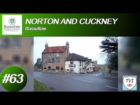
NORTON AND CUCKNEY: Bassetlaw Parish #63 of 66
Welcome to a place that, until 2015 was two separate civil parishes. It's based around two villages and predominantly, most of the ...
Nearby Amenities
Located within 500m of 53.222117,-1.1807203Have you been to Cuckney Hay Wood?
Leave your review of Cuckney Hay Wood below (or comments, questions and feedback).