Stonywalls Plantation
Wood, Forest in Hampshire Winchester
England
Stonywalls Plantation

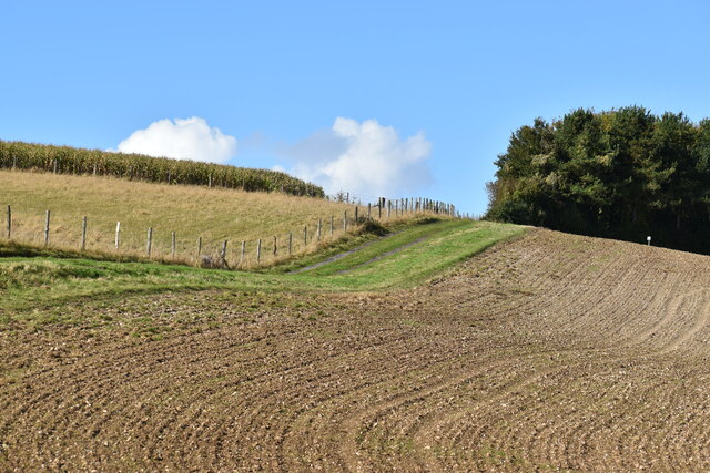
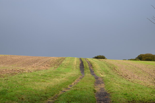
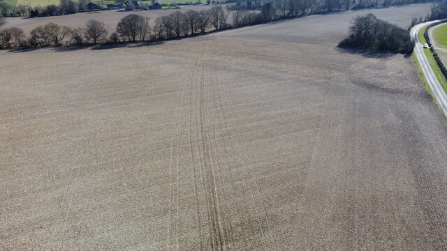
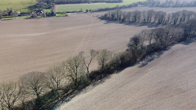
Stonywalls Plantation is a charming woodland located in Hampshire, England. Situated within the larger Hampshire Forest, this plantation covers an area of approximately 500 acres and is renowned for its natural beauty and diverse wildlife.
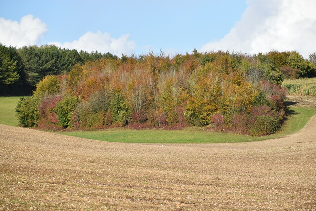
The plantation is predominantly composed of dense woodlands, featuring a variety of tree species including oak, beech, and birch. These majestic trees provide a picturesque backdrop and create a peaceful and serene atmosphere throughout the plantation. The forest floor is adorned with an abundance of vibrant wildflowers and ferns, adding to the overall appeal of the area.
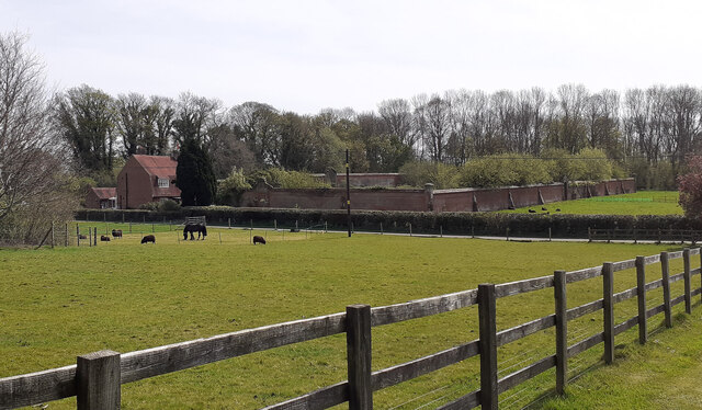
Stonywalls Plantation is home to a wide range of wildlife, making it an ideal destination for nature enthusiasts and wildlife photographers. Visitors may catch a glimpse of deer, foxes, badgers, and a plethora of bird species such as woodpeckers, owls, and jays. The plantation also serves as a habitat for numerous insects, amphibians, and small mammals.
The plantation offers several well-maintained walking trails, allowing visitors to explore and immerse themselves in the natural surroundings. These trails vary in difficulty and length, catering to both casual walkers and more experienced hikers. Throughout the plantation, there are designated picnic areas and benches, encouraging visitors to take a break and appreciate the scenic views.
Stonywalls Plantation is a popular destination for outdoor activities such as birdwatching, photography, and nature walks. Its tranquil setting and rich biodiversity make it a must-visit for anyone seeking a peaceful escape amidst nature's wonders.
If you have any feedback on the listing, please let us know in the comments section below.
Stonywalls Plantation Images
Images are sourced within 2km of 51.024886/-1.2222913 or Grid Reference SU5425. Thanks to Geograph Open Source API. All images are credited.


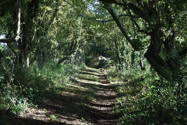


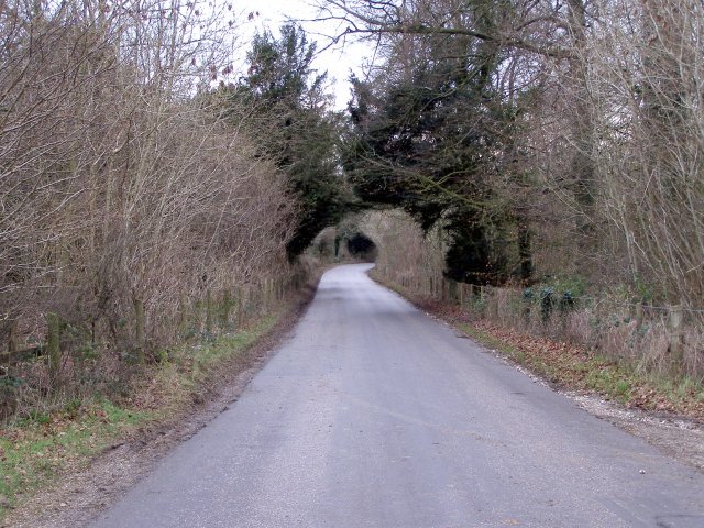
![Featherbed Lane, heading north A public bridleway. Part of a long distance path mapped as both King&#039;s Way [on paper] and Allan King Way [online]. This runs between Portchester and Winchester and was created by the Ramblers&#039; Association in Hampshire, as a memorial to one of their members.](https://s0.geograph.org.uk/geophotos/05/01/33/5013384_a8fd8cd0.jpg)
Stonywalls Plantation is located at Grid Ref: SU5425 (Lat: 51.024886, Lng: -1.2222913)
Administrative County: Hampshire
District: Winchester
Police Authority: Hampshire
What 3 Words
///dollars.foiled.crispier. Near Colden Common, Hampshire
Nearby Locations
Related Wikis
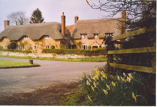
Beauworth
Beauworth () is a village and civil parish in the City of Winchester district of Hampshire, England, about eight miles east of Winchester. As of 2013...
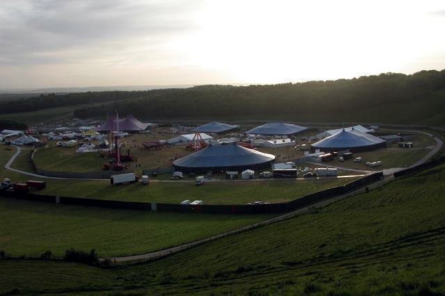
Homelands (festival)
Homelands was a music festival run by Mean Fiddler Music Group (now known as Festival Republic) which consisted mainly of dance music, both live acts and...
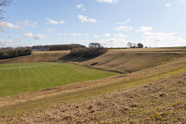
Cheesefoot Head
Cheesefoot Head () is a large natural amphitheatre (also known as Matterley Bowl) and beauty spot just outside Winchester, England. It is situated on the...

Boomtown (festival)
Boomtown (also known as Boomtown Fair) is a British music festival held annually on the Matterley Estate in South Downs National Park, near Winchester...

Owslebury Bottom
Owslebury Bottom is a hamlet in the civil parish of Owslebury in the City of Winchester district of Hampshire, England. Its nearest town is Winchester...
Baybridge, Hampshire
Baybridge is a small village in Hampshire, in England. It is situated to the east of Owslebury, south of Winchester. == References == == External links... ==

Preshaw
Preshaw (variously named Presshawe, Presthawe, and Preishawe in old documents) is a manor to the north of Corhampton in the United Kingdom. In the 19th...
Owslebury
Owslebury is a village and civil parish in the county of Hampshire, in the south of England approximately 5 miles (8.0 km) southeast of Winchester. It...
Nearby Amenities
Located within 500m of 51.024886,-1.2222913Have you been to Stonywalls Plantation?
Leave your review of Stonywalls Plantation below (or comments, questions and feedback).