Jubilee Wood

Wood, Forest in Oxfordshire South Oxfordshire

England

Jubilee Wood

The Manor, home of John Buchan The Manor at Elsfield was the home of John Buchan from 1919 - 1935
The Manor, home of John Buchan Credit: Jon S

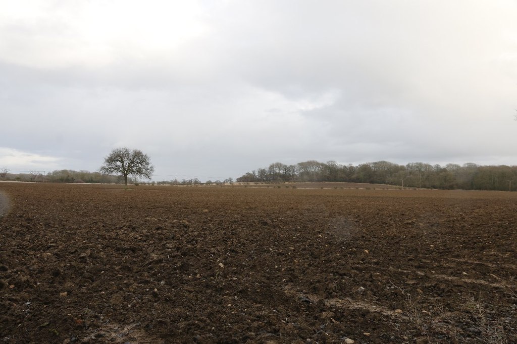
Jubilee Wood is a beautiful woodland located in Oxfordshire, England. Covering an area of approximately 50 acres, it is a tranquil oasis that offers a peaceful retreat from the hustle and bustle of everyday life.

The wood was established in 2012 to commemorate the Diamond Jubilee of Queen Elizabeth II. It was created through a community-led initiative, with local residents and volunteers coming together to plant thousands of trees, including native species such as oak, birch, and beech. Today, the wood is a thriving ecosystem, providing a habitat for a wide range of wildlife.

Visitors to Jubilee Wood can enjoy a network of well-maintained footpaths that wind their way through the woodland, allowing for leisurely walks and exploration. The paths are suitable for all ages and abilities, making it an ideal destination for families.

The wood boasts an impressive variety of flora and fauna, with carpets of bluebells in the spring and a vibrant display of autumn colors later in the year. Birdwatchers will delight in the opportunity to spot species such as woodpeckers, owls, and various songbirds. The wood is also home to small mammals like foxes, badgers, and hedgehogs.

Jubilee Wood is not only a place of natural beauty but also serves as an educational resource. Local schools often organize field trips to the wood, where students can learn about the importance of woodlands and conservation.

Overall, Jubilee Wood is a cherished community asset that offers a haven of tranquility and a chance to connect with nature in the heart of Oxfordshire.

If you have any feedback on the listing, please let us know in the comments section below.
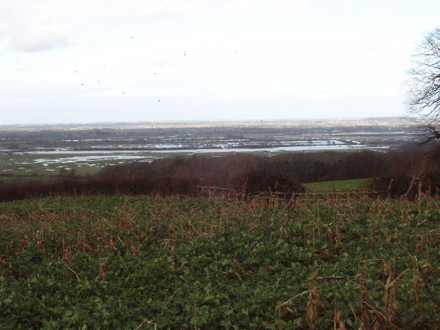
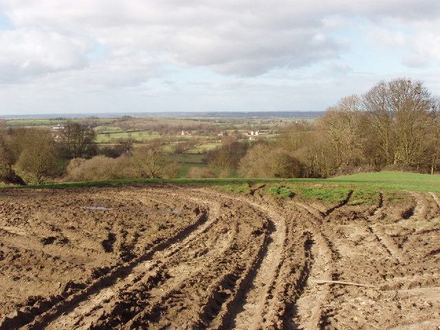
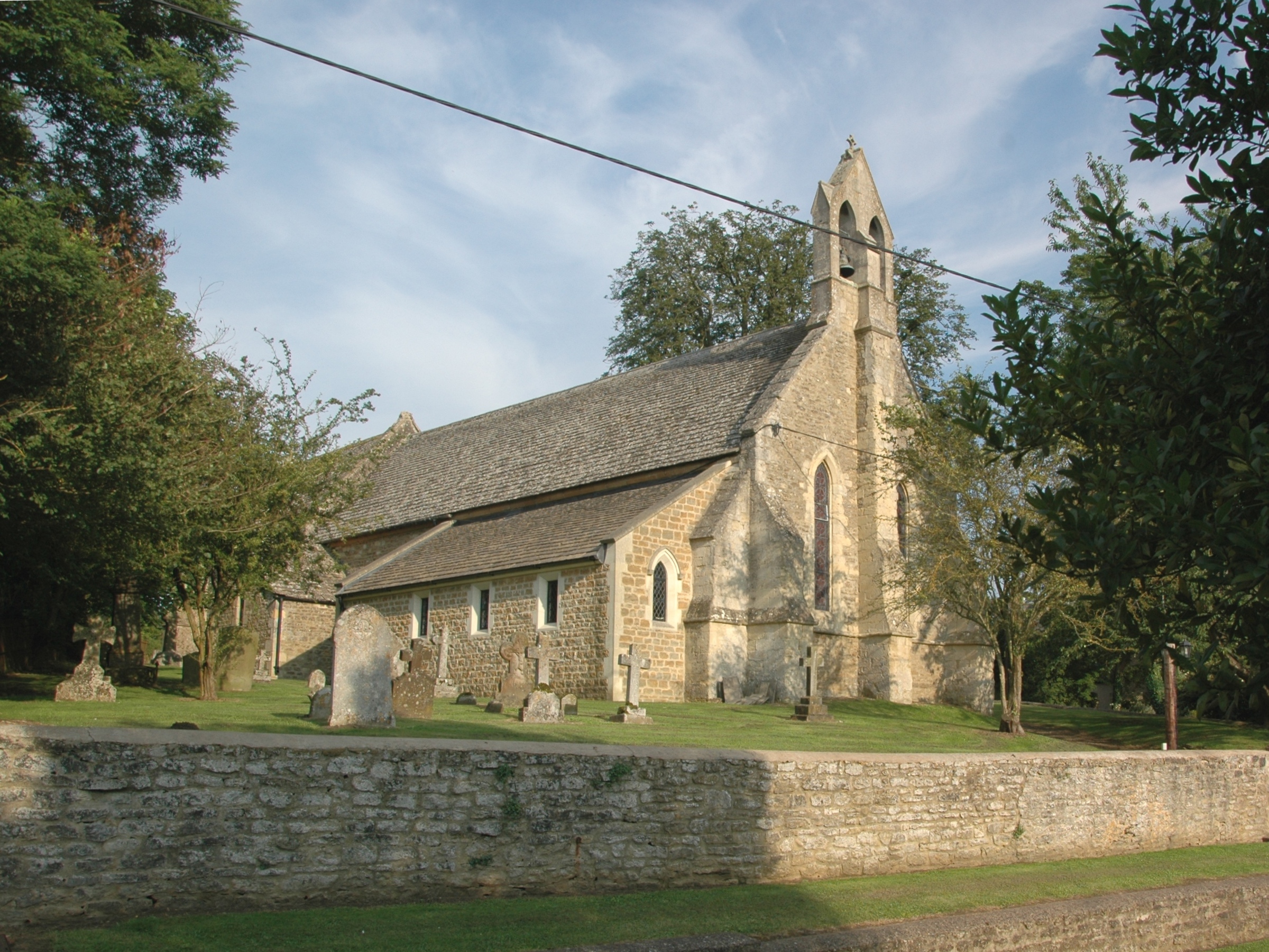
Jubilee Wood Images

Images are sourced within 2km of 51.783322/-1.2094974 or Grid Reference SP5409. Thanks to Geograph Open Source API. All images are credited.

The Manor, home of John Buchan The Manor at Elsfield was the home of John Buchan from 1919 - 1935
The Manor, home of John Buchan
The Manor at Elsfield was the home of John Buchan from 1919 - 1935
East of Elsfield The road does a loop around this field, to North and East of Elsfield. It runs the other side of the hedge on the right and then across, below the brow of the hill, the tops of some of the trees in the hedge can just be seen.
East of Elsfield
The road does a loop around this field, to North and East of Elsfield. It runs the other side of the hedge on the right and then across, below the brow of the hill, the tops of some of the trees in the hedge can just be seen.
Discreet silo Nicely positioned between two trees on the brow of the hill.
Discreet silo
Nicely positioned between two trees on the brow of the hill.
Drun's Hill With Woodeaton Wood coming in from the left.
Drun's Hill
With Woodeaton Wood coming in from the left.
The Manor House, Elsfield
Blue plaque for John Buchan On the wall of the Manor House, Elsfield <a href="https://www.geograph.org.uk/photo/334513">SP5310 : The Manor House, Elsfield</a>
Blue plaque for John Buchan
On the wall of the Manor House, Elsfield SP5310 : The Manor House, Elsfield
House by road junction At the point where the Elsfield to Beckley road crosses the B4027.
House by road junction
At the point where the Elsfield to Beckley road crosses the B4027.
The drive to Upper Wood's Farm From the B4027.
The drive to Upper Wood's Farm
From the B4027.
Pasture and Noke Wood View from Folly Farm, Beckley, looking towards Otmoor. It seems to be newly sown grass.
Pasture and Noke Wood
View from Folly Farm, Beckley, looking towards Otmoor. It seems to be newly sown grass.
Tree reflected in wet wheatfield After heavy rain there was standing water in the field. Photo from road just by Bayswater Brook.
Tree reflected in wet wheatfield
After heavy rain there was standing water in the field. Photo from road just by Bayswater Brook.
Wet field near Marston Common Just by the bridge over Bayswater Brook. Field wet after heavy rain.
Wet field near Marston Common
Just by the bridge over Bayswater Brook. Field wet after heavy rain.
Bayswater Brook View by road to Woodeaton. Looking at the map, the brook has a rather circuitous route, from Shotover, past Sandhills and Barton, by Old Marston , back north to this site and a kilometre on joins the Cherwell.
Bayswater Brook
View by road to Woodeaton. Looking at the map, the brook has a rather circuitous route, from Shotover, past Sandhills and Barton, by Old Marston , back north to this site and a kilometre on joins the Cherwell.
Otmoor flooded,from  Common Road, Beckley Part of the water on Otmoor is in the wetlands being created by the RSPB, but part is fields flooded after heavy rain. Viewpoint near Folly Farm.
Otmoor flooded,from Common Road, Beckley
Part of the water on Otmoor is in the wetlands being created by the RSPB, but part is fields flooded after heavy rain. Viewpoint near Folly Farm.
Field with Folly Farm beyond Common Road is behind the hedge on the right.
Field with Folly Farm beyond
Common Road is behind the hedge on the right.
Cottage and muck spreader As I photographed this pretty cottage a tractor and muck spreader trundled by.
Cottage and muck spreader
As I photographed this pretty cottage a tractor and muck spreader trundled by.
Churned up field, view towards Noke After heavy rain even this field on a hillside was wet and muddy. Viewpoint near Folly Farm.
Churned up field, view towards Noke
After heavy rain even this field on a hillside was wet and muddy. Viewpoint near Folly Farm.
Noke farms from Beckley Wide area view of the edge of Otmoor, from Folly Farm towards Noke. Part of the view in <a href="https://www.geograph.org.uk/photo/353076">SP5511 : Churned up field, view towards Noke</a>.
Noke farms from Beckley
Wide area view of the edge of Otmoor, from Folly Farm towards Noke. Part of the view in SP5511 : Churned up field, view towards Noke.
Bridleway to Cherwell Farm Off the lane to Woodeaton the bridleway to Cherwell farm
Bridleway to Cherwell Farm
Off the lane to Woodeaton the bridleway to Cherwell farm
Show me another place!

Jubilee Wood is located at Grid Ref: SP5409 (Lat: 51.783322, Lng: -1.2094974)

Administrative County: Oxfordshire

District: South Oxfordshire

Police Authority: Thames Valley

What 3 Words

///agrees.rounds.ashes. Near Oxford, Oxfordshire

Nearby Locations

Jubilee Wood

Related Wikis

Elsfield

Elsfield is an English village and civil parish about 3 miles (5 km) northeast of the centre of Oxford. The village is 310 feet (94 m) above sea level...

Oxford Montessori Schools

Oxford Montessori Schools is a group of progressive, co-educational private schools based in and around Oxford, England. Founded in 1990, the Oxford Montessori...

Woodeaton Wood

Woodeaton Wood is a 14-hectare (35-acre) biological Site of Special Scientific Interest north of Oxford in Oxfordshire.This coppice with standards on calcareous...

A.F.C. Hinksey

A.F.C. Hinksey was an English football club in Oxford. The club last played in the Hellenic Football League Division One East, and folded in 2014. ��2...

Headington Amateurs F.C.

Headington Amateurs Football Club is a football club based in Headington, in Oxford, England. Affiliated to the Oxfordshire County Football Association...

Northway, Oxford

Northway is a suburban area in northeast Oxford, England, just inside the Oxford ring road. It is close to Headington Hill and with it forms a ward in...

Long Crendon F.C.

Long Crendon Football Club is a football club based in Long Crendon, Buckinghamshire, England. They are currently members of the Hellenic League Division...

Oxford City Nomads F.C.

Oxford City Nomads Football Club was a football club based in Oxford, England. == History == The club was established in 1936 as Quarry Nomads, a youth...

Nearby Amenities

Located within 500m of 51.783322,-1.2094974
189
Ele: 89.768066
Wpt Description: S WOOD+
Wpt Symbol: Trail Head
Lat/Long: 51.7792301/-1.2065742
Power: pole
Lat/Long: 51.7802519/-1.2062826
Power: pole
Lat/Long: 51.7845589/-1.2051727
Power: pole
Lat/Long: 51.780382/-1.2077803
Power: pole
Lat/Long: 51.781547/-1.2072975
Power: pole
Lat/Long: 51.7827122/-1.2067986
Power: pole
Lat/Long: 51.7838917/-1.2063257
Power: pole
Lat/Long: 51.7850346/-1.2058357
Power: pole
Lat/Long: 51.7861954/-1.2053547
Power: pole
Lat/Long: 51.7813233/-1.2060235
Power: pole
Lat/Long: 51.7792038/-1.2082749
Power: substation
Lat/Long: 51.7860966/-1.2050307
Power: substation
Lat/Long: 51.7864168/-1.2072033
Power: substation
Lat/Long: 51.7864535/-1.2060184
Power: substation
Lat/Long: 51.7863853/-1.2048046
Power: pole
Lat/Long: 51.7834603/-1.2054514
Power: substation
Lat/Long: 51.7852415/-1.2038578
Power: pole
Lat/Long: 51.7822529/-1.2057666
Power: pole
Lat/Long: 51.779379/-1.2102846
The data included in this document is from www.openstreetmap.org. The data is made available under ODbL.

Have you been to Jubilee Wood?

Leave your review of Jubilee Wood below (or comments, questions and feedback).