Fishpool Spinney
Wood, Forest in Leicestershire Blaby
England
Fishpool Spinney

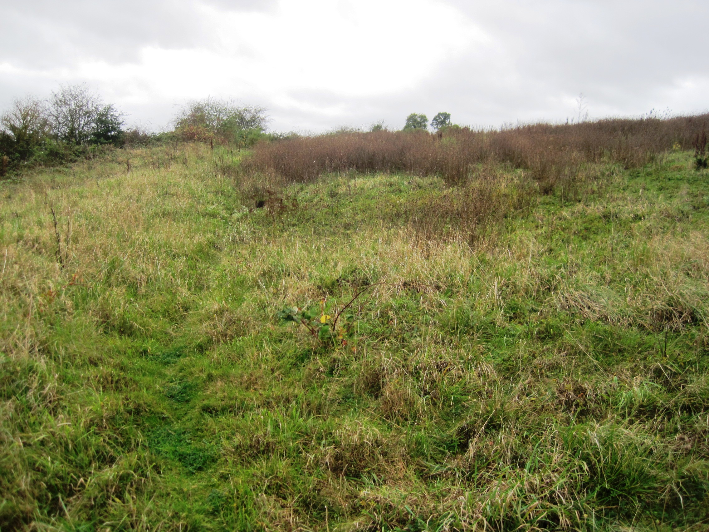
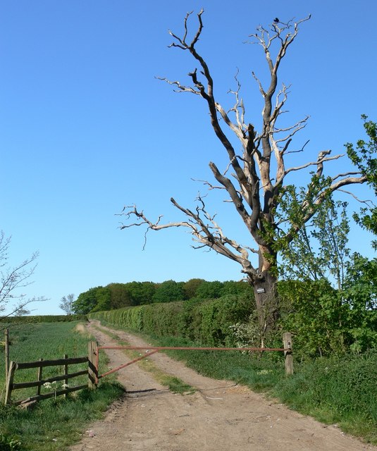
Fishpool Spinney is a small woodland area located in Leicestershire, England. It is situated near the village of Desford, approximately 15 miles west of Leicester city center. Covering an area of around 5 acres, the Spinney is known for its rich biodiversity and tranquil atmosphere.
The woodland consists mainly of native broadleaf trees, including oak, ash, beech, and birch. These trees provide a dense canopy, creating a shaded and cool environment even during hot summer months. The forest floor is covered with a thick carpet of ferns, mosses, and wildflowers, adding to the area's natural beauty.
Fishpool Spinney is home to a wide variety of wildlife. The trees provide nesting sites for many bird species, including songbirds, woodpeckers, and owls. Small mammals such as squirrels, rabbits, and foxes can also be found here. The woodland is also inhabited by numerous insects, including butterflies, beetles, and spiders.
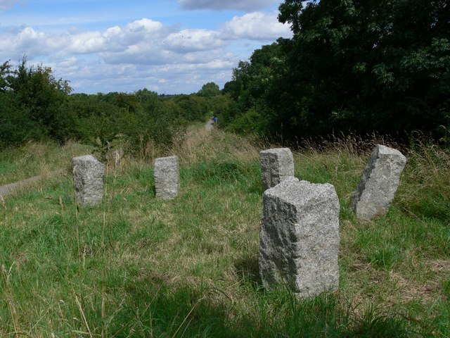
The Spinney is a popular destination for nature lovers, walkers, and outdoor enthusiasts. It offers several well-maintained footpaths, allowing visitors to explore the woodland and enjoy its serene surroundings. The peaceful ambiance and picturesque scenery make it an ideal spot for picnics, photography, and nature walks.
Managed by the local council, Fishpool Spinney is regularly maintained to ensure its ecological balance and conservation. It serves as an important green space for the local community, providing a peaceful retreat from the hustle and bustle of urban life.
If you have any feedback on the listing, please let us know in the comments section below.
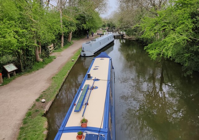
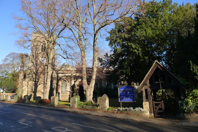
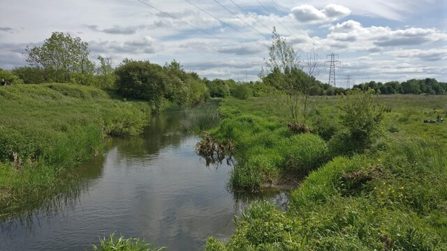
Fishpool Spinney Images
Images are sourced within 2km of 52.597415/-1.1977937 or Grid Reference SK5400. Thanks to Geograph Open Source API. All images are credited.


Fishpool Spinney is located at Grid Ref: SK5400 (Lat: 52.597415, Lng: -1.1977937)
Administrative County: Leicestershire
District: Blaby
Police Authority: Leicestershire
What 3 Words
///later.visa.lower. Near Enderby, Leicestershire
Nearby Locations
Related Wikis
Enderby Warren Quarry
Enderby Warren Quarry is a 1.7-hectare (4.2-acre) geological Site of Special Scientific Interest north of Enderby in Leicestershire. It is a Geological...
Lubbesthorpe
Lubbesthorpe is a hamlet and parish in the district of Blaby within Enderby on the outskirts of Leicester, on the west side of the M1 motorway and the...
Fosse Shopping Park
Fosse Shopping Park is one of Britain's biggest out-of-town shopping parks and it is situated in Enderby parish, in Blaby district, on the southern edge...
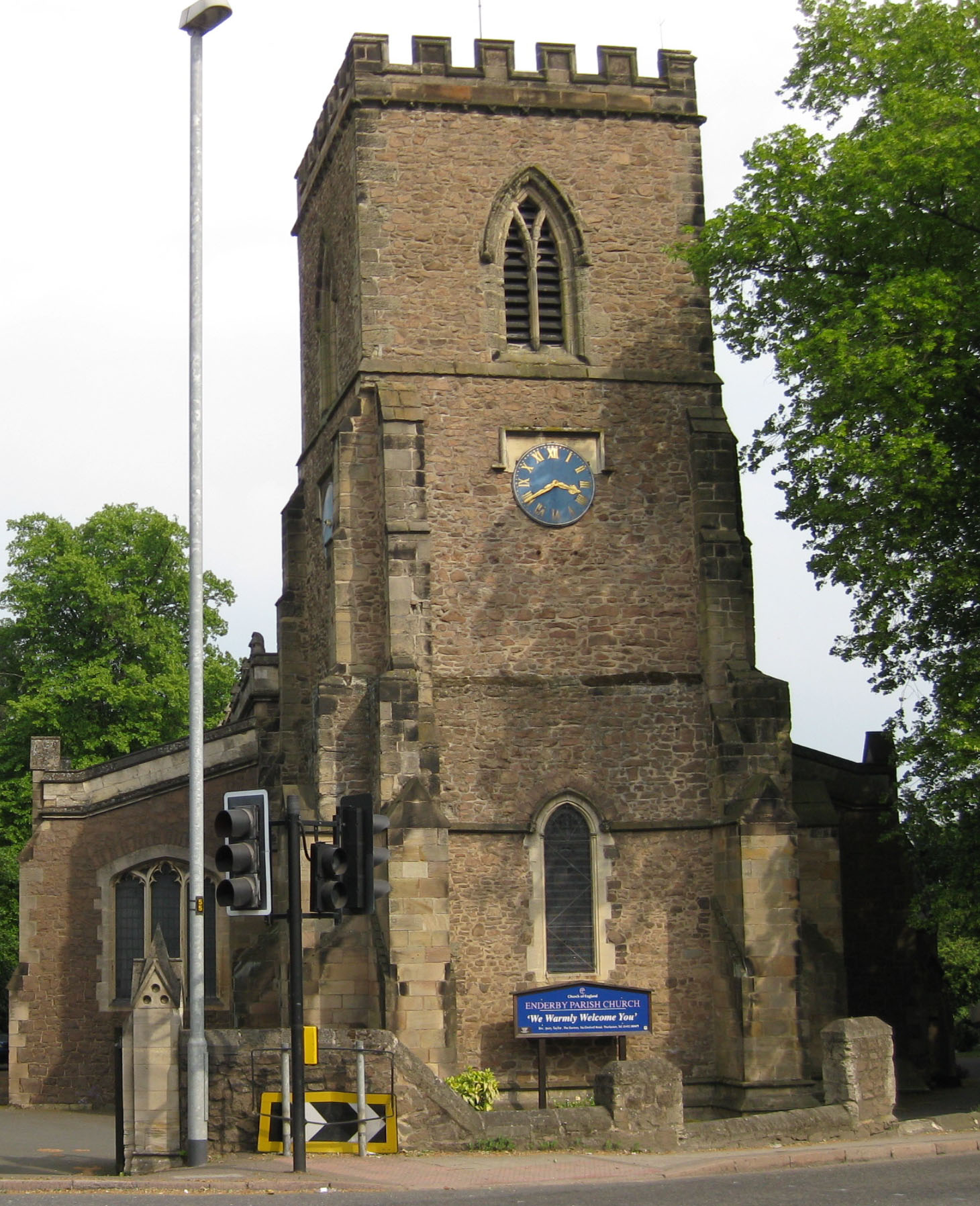
Enderby, Leicestershire
Enderby is a village and civil parish in Leicestershire, England, on the southwest outskirts of the city of Leicester. The parish includes the neighbourhood...

Brockington College
Brockington College is a Church of England mixed secondary school in Enderby, Leicestershire, England. It is in the district of Blaby. The school became...
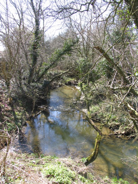
River Sence, Wigston
The River Sence is a Leicestershire (England) tributary of the larger River Soar. The River Sence can be traced eastwards up to the village of Billesdon...
Glen Parva Nature Reserve
Glen Parva or Glen Hills is an 11.9 hectares (29 acres) Local Nature Reserve in Glen Parva on the south-western outskirts of Leicester. It is owned and...

Carlton Hayes Hospital
Carlton Hayes Hospital, Narborough, Leicestershire was the psychiatric hospital of Leicestershire from 1907 to 1995. == History == The complex was built...
Nearby Amenities
Located within 500m of 52.597415,-1.1977937Have you been to Fishpool Spinney?
Leave your review of Fishpool Spinney below (or comments, questions and feedback).