Coppice Wood
Wood, Forest in Leicestershire Charnwood
England
Coppice Wood
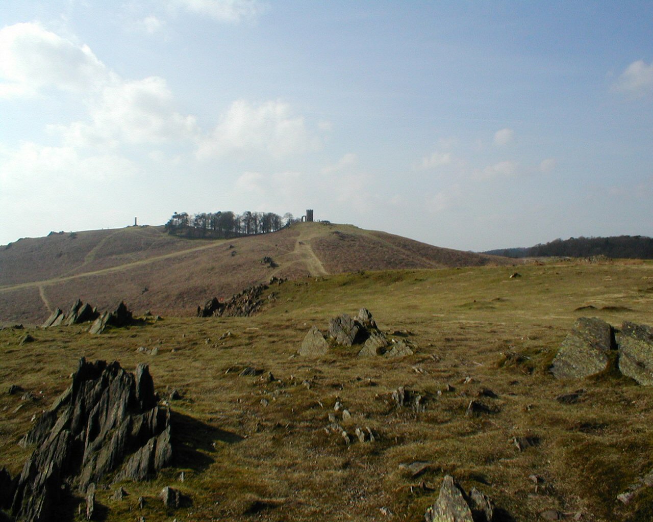
Coppice Wood is a picturesque woodland located in Leicestershire, England. Covering an area of approximately 50 acres, this enchanting forest is a popular destination for nature enthusiasts and outdoor lovers alike.
The wood is predominantly made up of deciduous trees such as oak, ash, and beech, which provide a stunning display of colors throughout the changing seasons. The dense canopy created by these trees offers a cool and shady refuge during the hot summer months, making it a perfect spot for a leisurely stroll or a picnic with family and friends.
Coppice Wood is home to a diverse range of wildlife, including various bird species, squirrels, and rabbits. Birdwatchers will be delighted by the sight of woodpeckers, nuthatches, and tawny owls, among others. Nature enthusiasts can also spot wildflowers and rare plants that thrive in the forest's understory.
For those looking for more adventurous activities, there are several walking trails that wind through the wood, providing an opportunity to explore its hidden corners and enjoy the tranquil ambiance. The wood also offers opportunities for photography, with its beautiful landscapes and abundant flora and fauna.
Coppice Wood is easily accessible, located just a short drive from the nearby village. There is ample parking available, as well as well-maintained paths and signposts to guide visitors throughout the wood. Whether you are seeking a peaceful retreat or an exciting adventure, Coppice Wood is a natural gem that is sure to captivate visitors with its breathtaking beauty and abundant wildlife.
If you have any feedback on the listing, please let us know in the comments section below.
Coppice Wood Images
Images are sourced within 2km of 52.694607/-1.202036 or Grid Reference SK5411. Thanks to Geograph Open Source API. All images are credited.


Coppice Wood is located at Grid Ref: SK5411 (Lat: 52.694607, Lng: -1.202036)
Administrative County: Leicestershire
District: Charnwood
Police Authority: Leicestershire
What 3 Words
///wheels.pocket.rests. Near Anstey, Leicestershire
Nearby Locations
Related Wikis
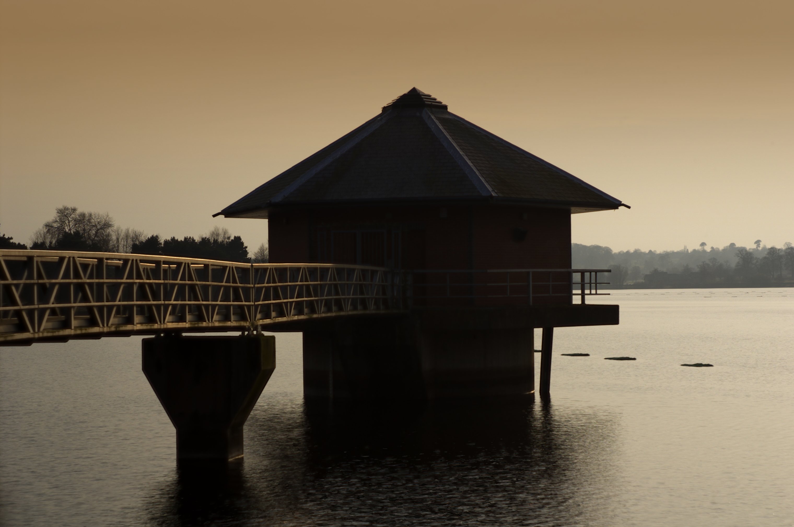
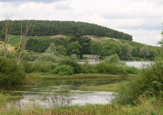
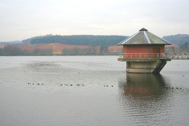
Cropston Reservoir
Cropston Reservoir (originally known as Bradgate Reservoir) lies in Charnwood Forest in Leicestershire, England. The dam and associated water works are...

Charnwood (UK Parliament constituency)
Charnwood is a constituency in Leicestershire represented in the House of Commons of the UK Parliament since 2015 by Edward Argar, a Conservative.Further...

Bradgate Electoral Division
Bradgate Electoral Division is a County Council electoral division in Leicestershire, England, taking its name from Bradgate Park which is at the centre...

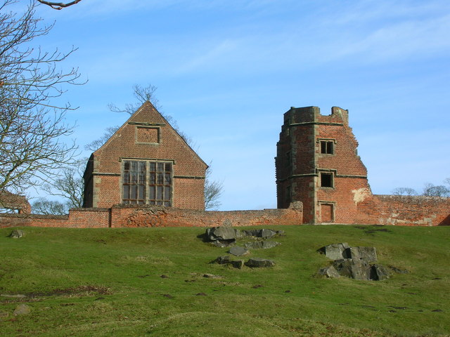
Bradgate House, Bradgate Park
Bradgate House is a 16th-century ruin in Bradgate Park, Leicestershire, England. Edward Grey's son Sir John Grey of Groby married Elizabeth Woodville,...
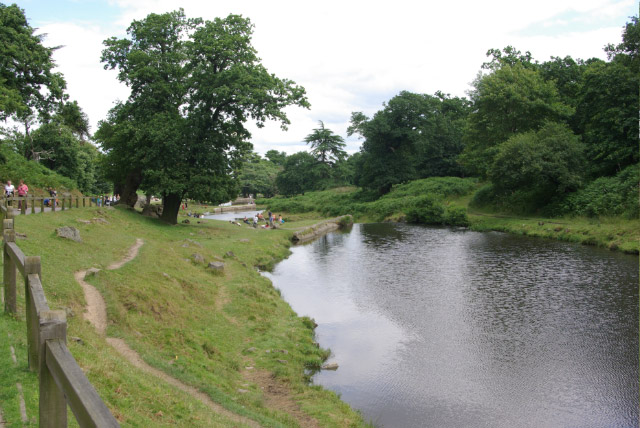
Bradgate Park and Cropston Reservoir
Bradgate Park and Cropston Reservoir is a 399.7-hectare (988-acre) geological Site of Special Scientific Interest north–west of Leicester. It is also a...

Swithland Wood and The Brand
Swithland Wood and The Brand is a 87.9 hectares (217 acres) biological Site of Special Scientific Interest south of Woodhouse Eaves in Leicestershire....
Bradgate Park
Bradgate Park () is a public park in Charnwood Forest, in Leicestershire, England, northwest of Leicester. It covers 850 acres (340 hectares). The park...

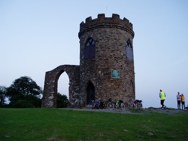
Old John
Old John is the highest hill in Bradgate Park, Leicestershire, England, on the southern edge of Charnwood Forest. It gives its name to the folly that...
Nearby Amenities
Located within 500m of 52.694607,-1.202036Have you been to Coppice Wood?
Leave your review of Coppice Wood below (or comments, questions and feedback).