Crawley Copse

Wood, Forest in Hampshire Basingstoke and Deane

England

Crawley Copse

Steventon Church Jane Austen's father was Minister
Steventon Church Credit: John

Crawley Copse, located in the county of Hampshire, England, is a serene and picturesque woodland area that spans approximately 100 acres. Situated near the village of Crawley, the copse is known for its natural beauty and rich biodiversity.

The woodland is primarily composed of broadleaf trees, including oak, beech, and ash, which create a dense and lush canopy above. The forest floor is carpeted with a variety of flora, such as bluebells, primroses, and ferns, adding to its vibrant and colorful appeal. The copse is also home to a diverse range of wildlife, including deer, badgers, foxes, and an array of bird species.

Crawley Copse offers a tranquil retreat for nature enthusiasts and outdoor lovers alike. Visitors can explore the copse through a network of well-maintained footpaths, enabling them to immerse themselves in the natural surroundings and enjoy the peaceful ambiance. The copse is also popular among photographers and artists who are drawn to its idyllic landscapes and captivating wildlife.

In addition to its natural beauty, Crawley Copse holds historical significance. The woodland has been preserved for centuries and was once part of the medieval royal hunting forest of Bere. Today, remnants of ancient boundaries and ditches can still be found within the copse, serving as a reminder of its rich heritage.

Overall, Crawley Copse in Hampshire offers a harmonious blend of natural wonders and cultural heritage. Its lush woodlands, diverse wildlife, and historical significance make it a beloved destination for those seeking a peaceful escape into nature.

If you have any feedback on the listing, please let us know in the comments section below.

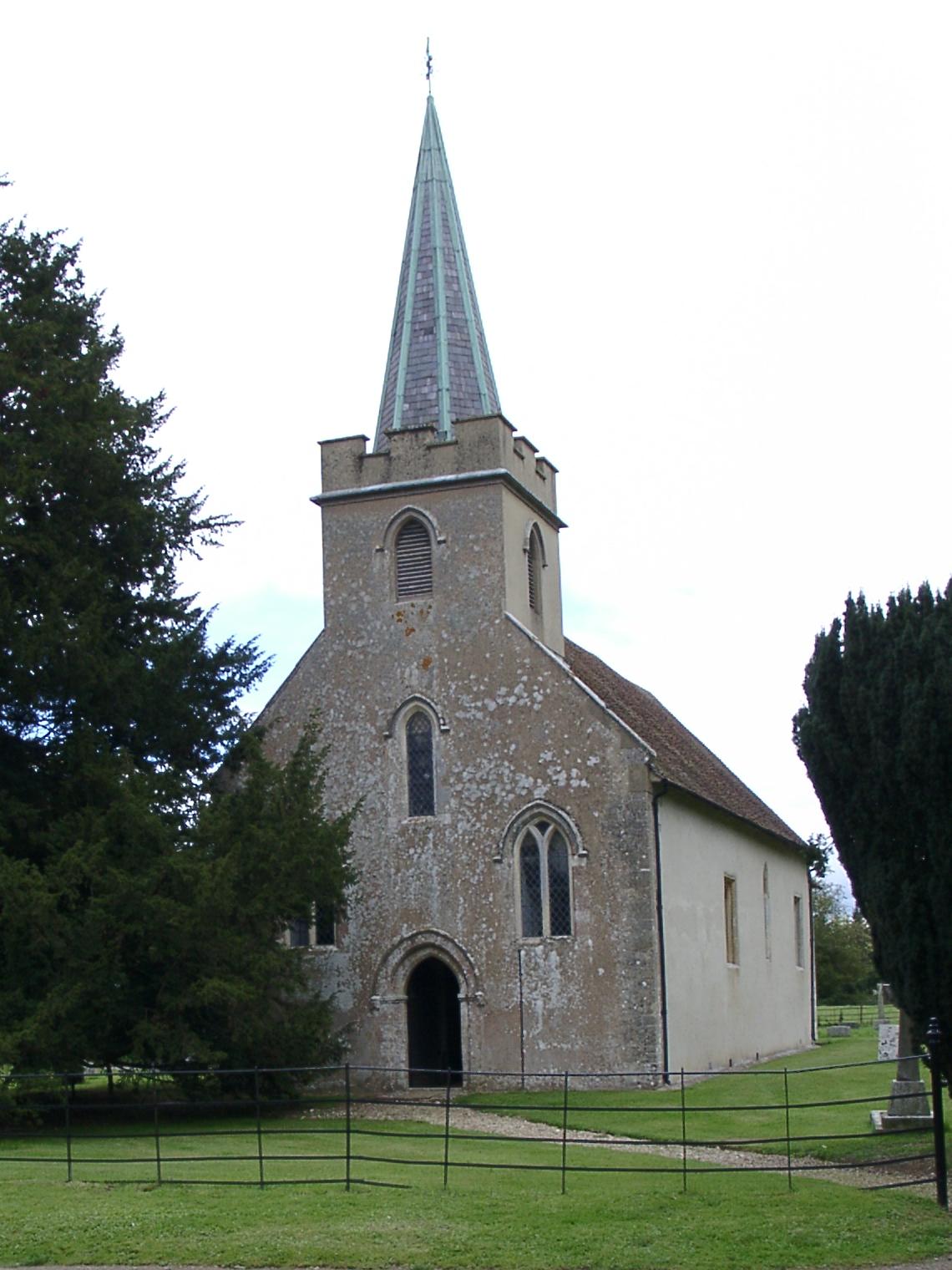
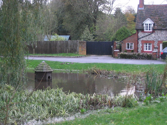
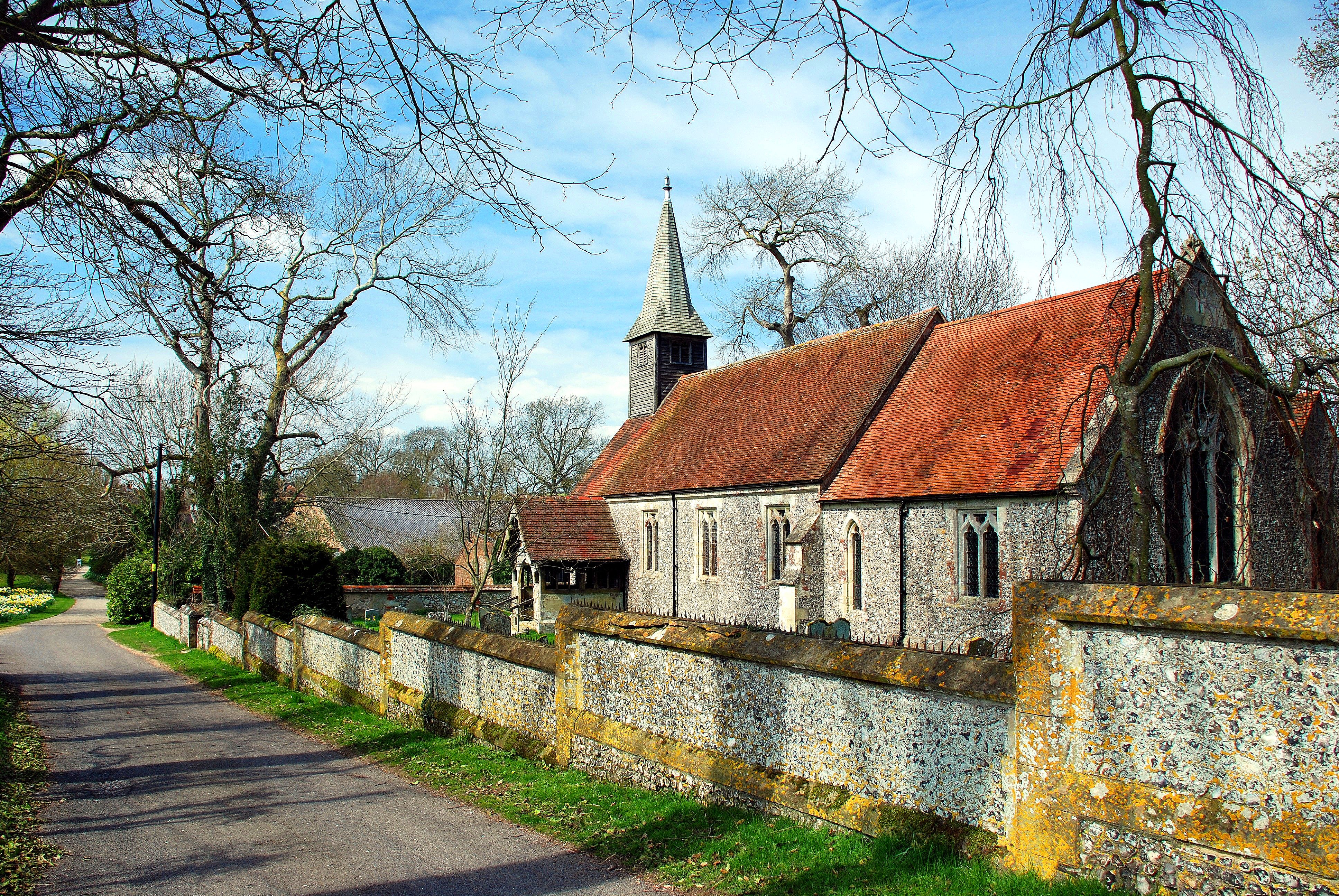
Crawley Copse Images

Images are sourced within 2km of 51.216416/-1.2283334 or Grid Reference SU5346. Thanks to Geograph Open Source API. All images are credited.

Steventon Church Jane Austen's father was Minister
Steventon Church
Jane Austen's father was Minister
Rural scene near Steventon Taken from the Overton-North Waltham road, the farmhouse is entered from the Steventon side road.
Rural scene near Steventon
Taken from the Overton-North Waltham road, the farmhouse is entered from the Steventon side road.
Warren Plantation Looking across fields to Warren Plantation.
Warren Plantation
Looking across fields to Warren Plantation.
Entrance to Litchfield Grange The buildings of Litchfield Grange lie to the east in SU5345.
Entrance to Litchfield Grange
The buildings of Litchfield Grange lie to the east in SU5345.
Copse Farm Buildings and water tower at Copse Farm. The Winchester to Basingstoke railway runs in a tunnel below the photographer.
Copse Farm
Buildings and water tower at Copse Farm. The Winchester to Basingstoke railway runs in a tunnel below the photographer.
Track heading to Bramdown Copse This track continues along the southern boundary of Bramdown Copse.
Track heading to Bramdown Copse
This track continues along the southern boundary of Bramdown Copse.
Entrance to Northdown Orchard The entrance lies on the eastern edge of the square. The building is in SU5347 as is the orchard.
Entrance to Northdown Orchard
The entrance lies on the eastern edge of the square. The building is in SU5347 as is the orchard.
Crossroads south east of Overton Waltham Lane runs in the foreground from left to centre. To the right is Burley Lane.
Crossroads south east of Overton
Waltham Lane runs in the foreground from left to centre. To the right is Burley Lane.
Waltham Lane Waltham Lane dips and then climbs through trees towards Overton.
Waltham Lane
Waltham Lane dips and then climbs through trees towards Overton.
Countryside north east of Waltham Lane Waltham Lane cuts across the south west corner of this square. The trees in the distance are Burley Wood.
Countryside north east of Waltham Lane
Waltham Lane cuts across the south west corner of this square. The trees in the distance are Burley Wood.
Track north of Waltham Lane This track heads north west then north towards Berrydown Copse.
Track north of Waltham Lane
This track heads north west then north towards Berrydown Copse.
Tunnel under railway at Steventon This narrow tunnel connects Steventon village to the B3400. It passes through the embankment that carries the Basingstoke to Winchester railway.
Tunnel under railway at Steventon
This narrow tunnel connects Steventon village to the B3400. It passes through the embankment that carries the Basingstoke to Winchester railway.
Field north of Steventon This field lies between Ashe Park Copse (behind the photographer) and the Basingstoke to Winchester railway that runs along the embankment in the background. Steventon is to the south of the railway.
Field north of Steventon
This field lies between Ashe Park Copse (behind the photographer) and the Basingstoke to Winchester railway that runs along the embankment in the background. Steventon is to the south of the railway.
Village centre, Steventon Signpost and seat around the tree at the road junction in Steventon.
Village centre, Steventon
Signpost and seat around the tree at the road junction in Steventon.
Steventon Village Hall A sign by the door calls this the Steventon Children's House.
Steventon Village Hall
A sign by the door calls this the Steventon Children's House.
Fields and woodland south of Steventon To the east of the minor road that runs south from Steventon.
Fields and woodland south of Steventon
To the east of the minor road that runs south from Steventon.
Country road south of Steventon This narrow road runs south from Steventon towards the A303.
Country road south of Steventon
This narrow road runs south from Steventon towards the A303.
Steventon Warren Cottage and stables at Steventon Warren.
Steventon Warren
Cottage and stables at Steventon Warren.
Show me another place!

Crawley Copse is located at Grid Ref: SU5346 (Lat: 51.216416, Lng: -1.2283334)

Administrative County: Hampshire

District: Basingstoke and Deane

Police Authority: Hampshire

What 3 Words

///contacts.seagull.overpaid. Near Overton, Hampshire

Related Wikis

Steventon, Hampshire

Steventon is a village and a civil parish with a population of about 250 in north Hampshire, England. Situated 7 miles south-west of the town of Basingstoke...

Laverstoke Park Farm

Laverstoke Park Farm is a farm near Overton, Hampshire, England, owned by 1979 Formula One World Champion, Jody Scheckter. == Background == The farm is...

North Waltham

North Waltham is a village and civil parish in the borough of Basingstoke and Deane in Hampshire, England. It is located around 6 miles (9.7 km) southwest...
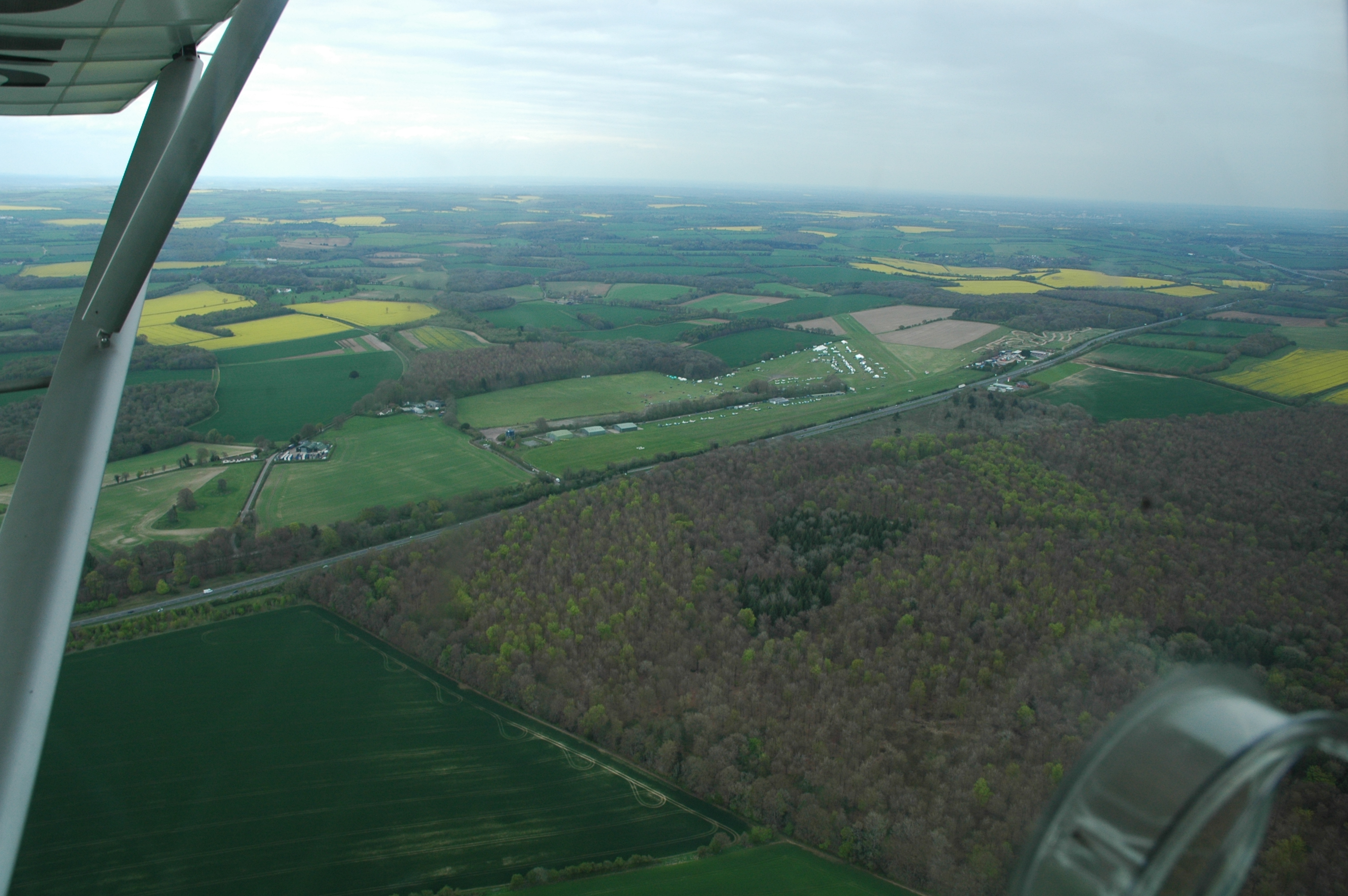
Popham Airfield

Popham Airfield (ICAO: EGHP) is an unlicensed airfield located 6 NM (11 km; 6.9 mi) south west of Basingstoke in Hampshire, UK. It lies alongside the...

A33 road

The A33 is a major road in the counties of Berkshire and Hampshire in southern England. The road currently runs in three disjoint sections. == Route... ==

Micheldever Spoil Heaps

Micheldever Spoil Heaps is a 32.1-hectare (79-acre) biological Site of Special Scientific Interest in Micheldever in Hampshire.This site is composed of...

Ashe, Hampshire

Ashe is a village and former civil parish, now in the parish of Overton, in the Basingstoke and Deane district of Hampshire, England. The River Test commonly...

Popham, Hampshire

Popham is a hamlet and civil parish south of Basingstoke, Hampshire, England. According to the Post Office the population of the 2011 Census was included...

Have you been to Crawley Copse?

Leave your review of Crawley Copse below (or comments, questions and feedback).