Burntclose Copse
Wood, Forest in Oxfordshire Cherwell
England
Burntclose Copse

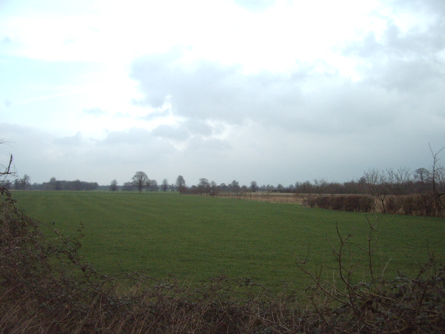
Burntclose Copse is a charming woodland area located in Oxfordshire, England. Covering approximately 50 acres, it is nestled within the rural countryside, offering visitors a tranquil and picturesque setting. The copse is characterized by its dense canopy of trees, primarily consisting of oak, beech, and ash species, which provide a rich habitat for an array of wildlife.
The woodland boasts a diverse ecosystem with a variety of plant and animal species. Wildflowers bloom in the spring, painting the forest floor with vibrant colors, while ferns and mosses add a touch of green throughout the year. The copse is home to an assortment of bird species, including woodpeckers, tits, and owls, which can be spotted perched on branches or heard singing their melodious tunes.
Burntclose Copse offers visitors a peaceful retreat, providing several walking trails that wind through its enchanting landscape. These paths take visitors on a journey through the woodland, offering glimpses of old gnarled trees, fallen logs, and bubbling streams. The copse also features a small pond, where ducks and other waterfowl can often be seen gliding across the surface.
The copse is rich in history, dating back hundreds of years. It has been managed and preserved by local conservation groups, ensuring its survival and continued enjoyment for generations to come. Burntclose Copse is a true gem of Oxfordshire, offering nature enthusiasts, hikers, and wildlife lovers an opportunity to immerse themselves in the peaceful beauty of a traditional English woodland.
If you have any feedback on the listing, please let us know in the comments section below.
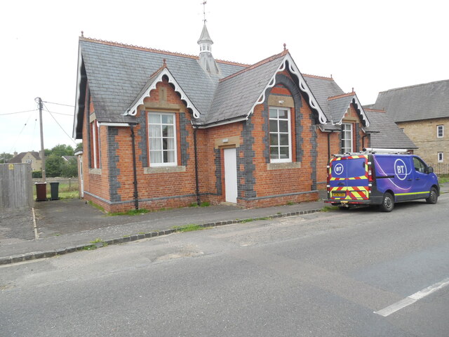
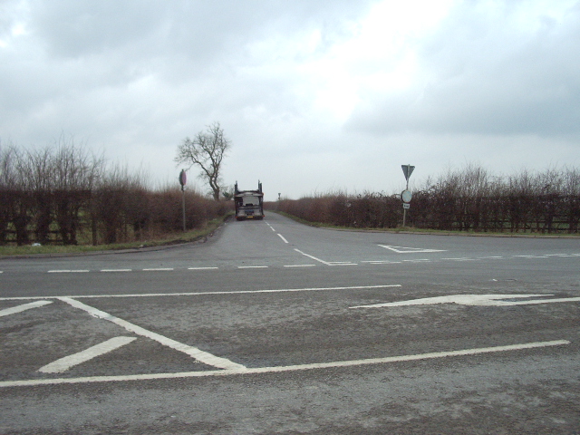
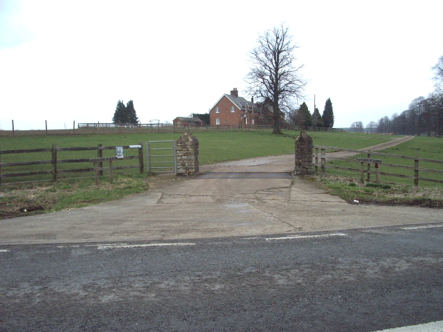
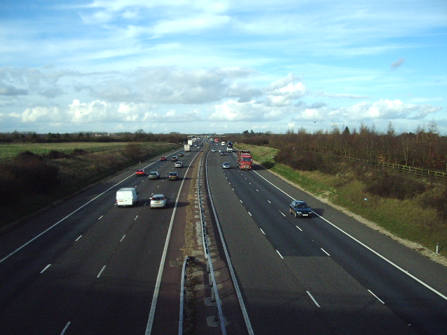
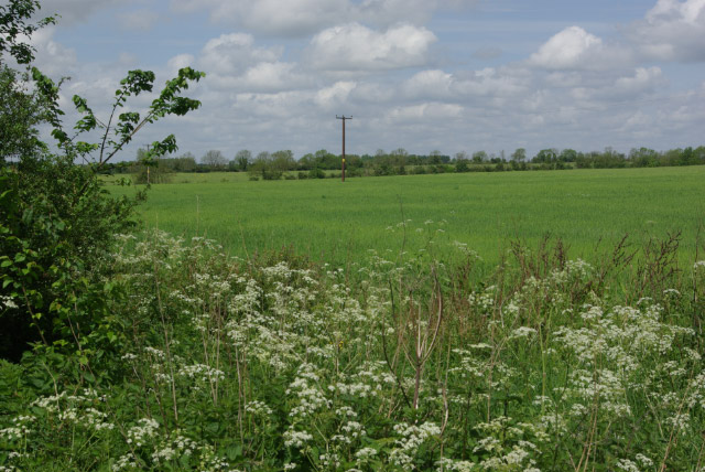
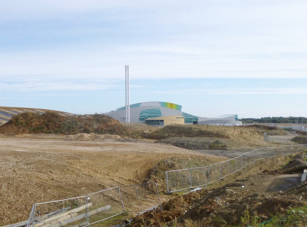
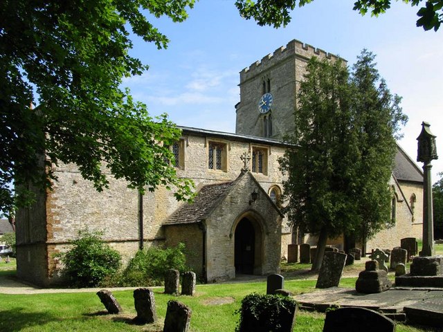
Burntclose Copse Images
Images are sourced within 2km of 51.909744/-1.218663 or Grid Reference SP5323. Thanks to Geograph Open Source API. All images are credited.


Burntclose Copse is located at Grid Ref: SP5323 (Lat: 51.909744, Lng: -1.218663)
Administrative County: Oxfordshire
District: Cherwell
Police Authority: Thames Valley
What 3 Words
///servers.inherits.tarnished. Near Bicester, Oxfordshire
Nearby Locations
Related Wikis

Middleton Stoney
Middleton Stoney is a village and civil parish about 2+1⁄2 miles (4 km) west of Bicester, Oxfordshire. The 2011 Census recorded the parish's population...
Ardley Trackways
Ardley Trackways is a 63.6-hectare (157-acre) geological Site of Special Scientific Interest north-west of Bicester in Oxfordshire. It is a Geological...

Middleton Park, Oxfordshire
Middleton Park is a rural park in the parish of Middleton Stoney, Oxfordshire, England, about 2+1⁄2 miles (4 km) west of Bicester. The grounds are Grade...
Bucknell, Oxfordshire
Bucknell is a village and civil parish 2+1⁄2 miles (4 km) northwest of Bicester in Oxfordshire, England. The 2011 Census recorded the parish's population...

Aves ditch
Aves Ditch (also known as Ash Bank, or Wattle Bank) is an Iron Age ditch and bank structure running about 3 miles (4.8 km) on a northeast to southwest...
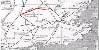
Akeman Street
Akeman Street is a Roman road in southern England between the modern counties of Hertfordshire and Gloucestershire. It is approximately 117 kilometres...
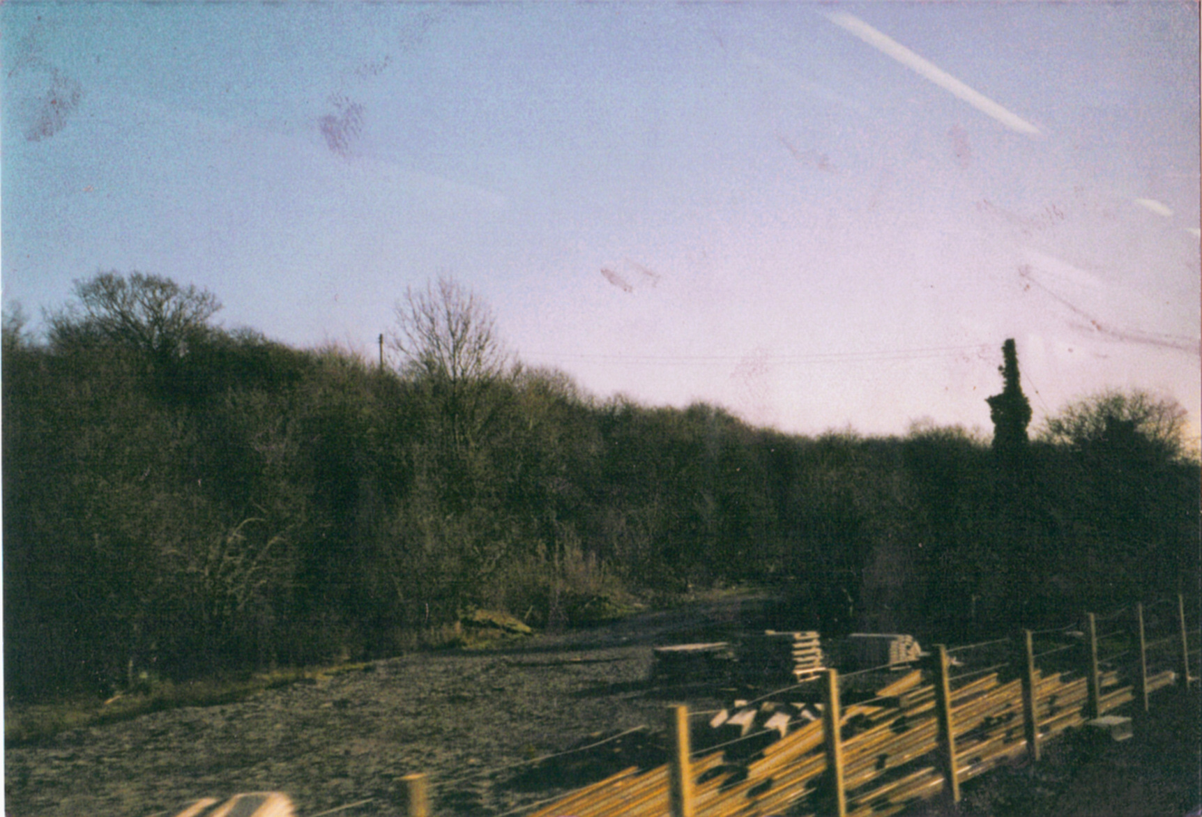
Ardley railway station
Ardley railway station was a railway station serving the village of Ardley in Oxfordshire, England. It was on what is now known as the Chiltern Main Line...
Chesterton, Oxfordshire
Chesterton is a village and civil parish on Gagle Brook, a tributary of the Langford Brook in north Oxfordshire. The village is about 1+1⁄2 miles (2.4...
Nearby Amenities
Located within 500m of 51.909744,-1.218663Have you been to Burntclose Copse?
Leave your review of Burntclose Copse below (or comments, questions and feedback).