Witchers Plantation
Wood, Forest in Hampshire Winchester
England
Witchers Plantation

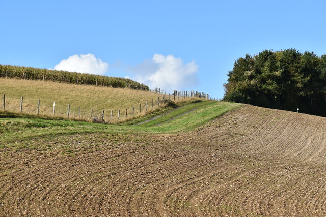
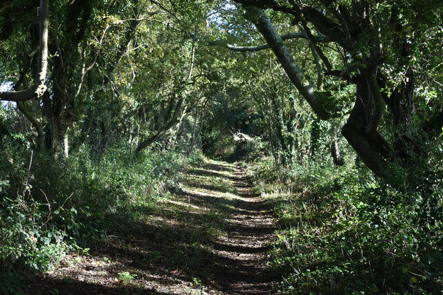
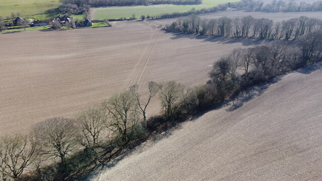
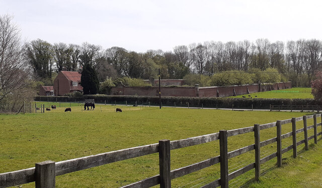
Witchers Plantation, located in Hampshire, England, is a captivating woodland area renowned for its natural beauty and rich biodiversity. Nestled within the Hampshire Forest, this enchanting plantation spans over several hectares and offers a serene and picturesque environment for visitors to explore.
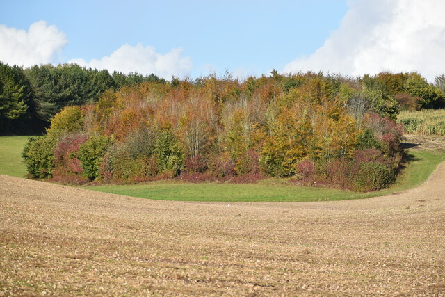
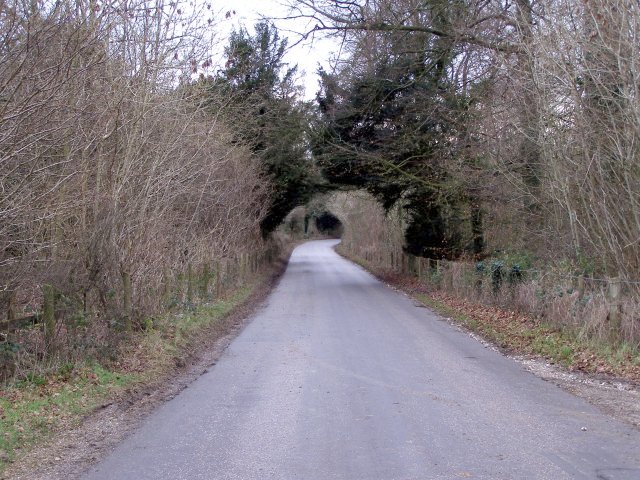
The woodland is predominantly composed of a mix of deciduous and evergreen trees, including oak, beech, birch, and pine, creating a diverse and lush canopy. This diversity of trees provides a habitat for a wide range of wildlife, making it a haven for nature enthusiasts and birdwatchers alike.
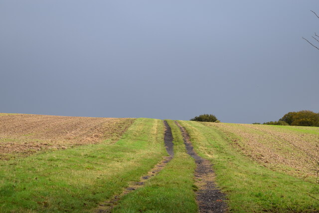
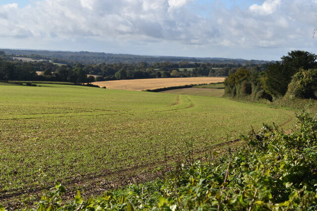
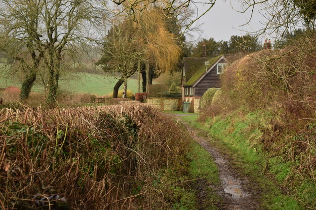
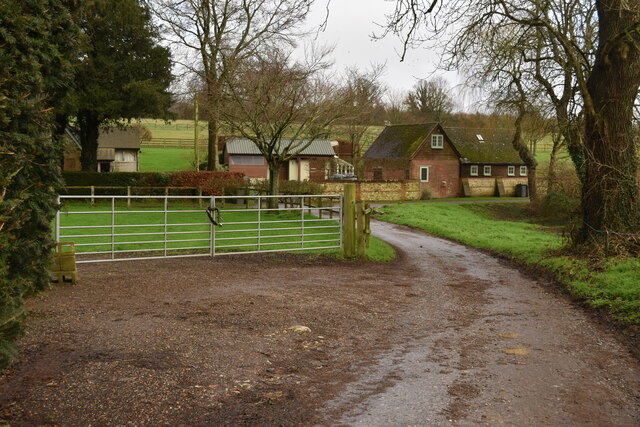
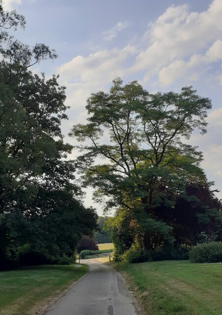
Witchers Plantation boasts an extensive network of well-maintained trails and footpaths, allowing visitors to immerse themselves in the peaceful ambiance of the forest. These trails wind through the plantation, offering scenic views of the surrounding countryside and glimpses of various flora and fauna.
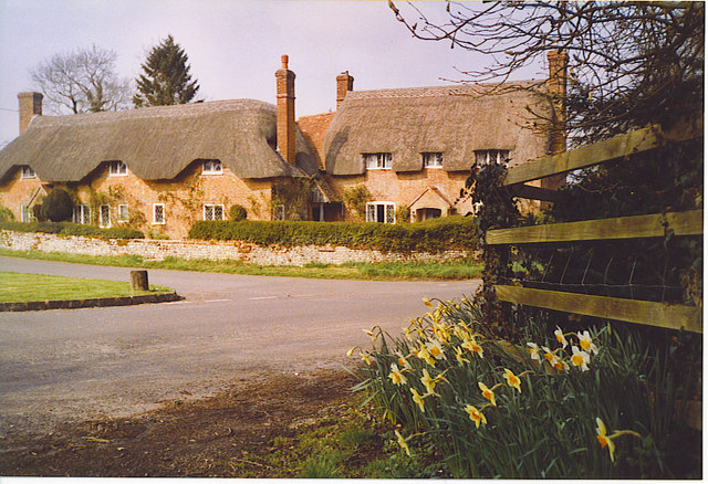
Wildflowers blanket the forest floor, adding bursts of color to the green landscape during the spring and summer months. Visitors may also stumble upon hidden streams and small ponds dotted throughout the woodland, which further enhance the plantation's natural charm.
The plantation is open year-round and is a popular destination for outdoor activities such as hiking, picnicking, and wildlife spotting. It also offers educational programs and guided tours for those interested in learning more about the local ecosystem and the importance of conservation.
Witchers Plantation is a true gem in the Hampshire Forest, providing a tranquil escape from the hustle and bustle of everyday life and a chance to reconnect with nature in all its splendor.
If you have any feedback on the listing, please let us know in the comments section below.
Witchers Plantation Images
Images are sourced within 2km of 51.02258/-1.2338503 or Grid Reference SU5325. Thanks to Geograph Open Source API. All images are credited.


Witchers Plantation is located at Grid Ref: SU5325 (Lat: 51.02258, Lng: -1.2338503)
Administrative County: Hampshire
District: Winchester
Police Authority: Hampshire
What 3 Words
///starfish.spoiler.pool. Near Colden Common, Hampshire
Nearby Locations
Related Wikis

Owslebury Bottom
Owslebury Bottom is a hamlet in the civil parish of Owslebury in the City of Winchester district of Hampshire, England. Its nearest town is Winchester...
Baybridge, Hampshire
Baybridge is a small village in Hampshire, in England. It is situated to the east of Owslebury, south of Winchester. == References == == External links... ==
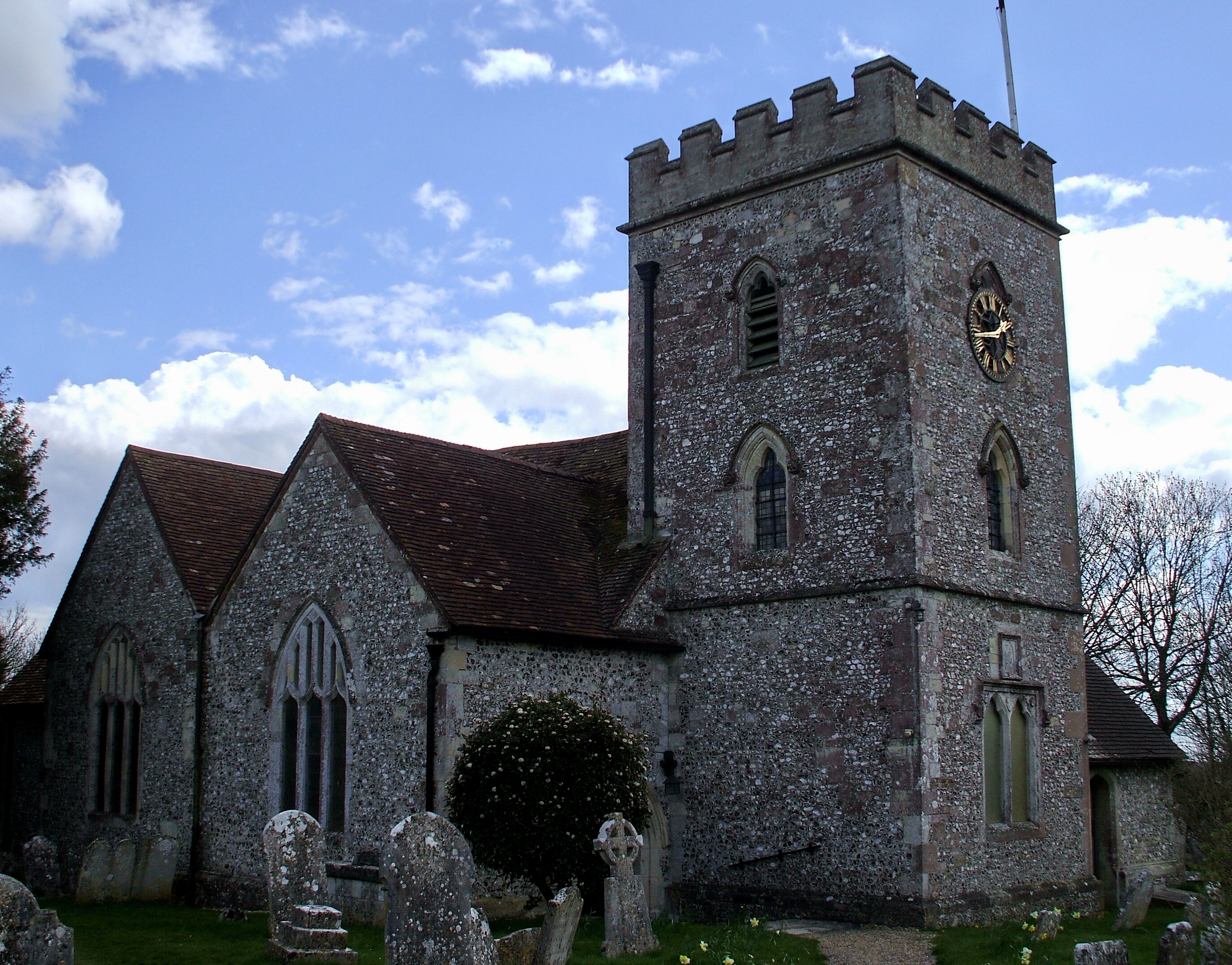
Owslebury
Owslebury is a village and civil parish in the county of Hampshire, in the south of England approximately 5 miles (8.0 km) southeast of Winchester. It...
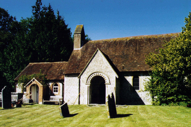
Morestead
Morestead is a village and former civil parish, now in the parish of Owslebury, in the Winchester district, in Hampshire, England. It is in the South Downs...
Homelands (festival)
Homelands was a music festival run by Mean Fiddler Music Group (now known as Festival Republic) which consisted mainly of dance music, both live acts and...
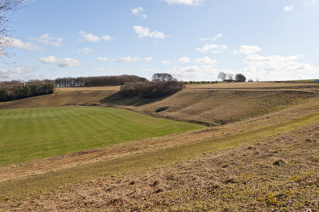
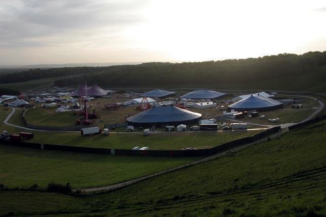
Cheesefoot Head
Cheesefoot Head () is a large natural amphitheatre (also known as Matterley Bowl) and beauty spot just outside Winchester, England. It is situated on the...

Boomtown (festival)
Boomtown (also known as Boomtown Fair) is a British music festival held annually on the Matterley Estate in South Downs National Park, near Winchester...
Beauworth
Beauworth () is a village and civil parish in the City of Winchester district of Hampshire, England, about eight miles east of Winchester. As of 2013...
Nearby Amenities
Located within 500m of 51.02258,-1.2338503Have you been to Witchers Plantation?
Leave your review of Witchers Plantation below (or comments, questions and feedback).