Stony Flat Plantation

Wood, Forest in Yorkshire

England

Stony Flat Plantation

Skellow Services A1 northbound.
Skellow Services Credit: Ian Rob

The requested URL returned error: 429 Too Many Requests

If you have any feedback on the listing, please let us know in the comments section below.

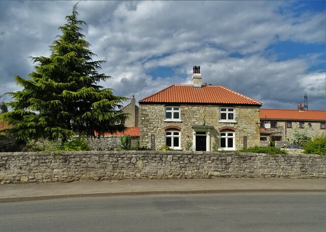
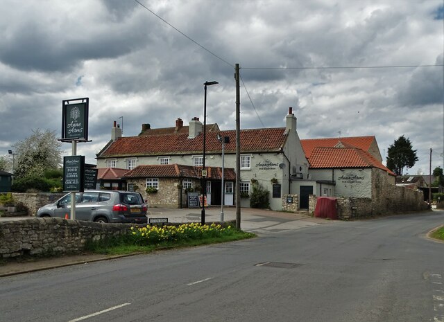
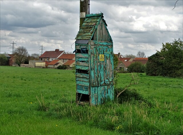
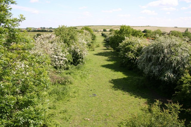
Stony Flat Plantation Images

Images are sourced within 2km of 53.591573/-1.1882933 or Grid Reference SE5310. Thanks to Geograph Open Source API. All images are credited.

Skellow Services A1 northbound.
Skellow Services
A1 northbound.
The A1 passing its junction with Green Lane
Burghwallis seen from Stony Croft Lane
Stony Croft Lane On the way from Burghwallis to Skellow
Stony Croft Lane
On the way from Burghwallis to Skellow
On the northern edge of Skellow Playground equipment and a view north to Burghwallis
On the northern edge of Skellow
Playground equipment and a view north to Burghwallis
Path through Stony Flat Plantation, Skellow
Golfing on Owston Hall Golf Course
Path to North Quarry Plantation
North Quarry Plantation
All Saints Church, Owston Between 1180-1200 the church was a simple structure of nave and chancel. All that remains of that early structure is the west wall showing typical herringbone masonry of the early Norman period. The tower was added in the thirteenth century. Between 1200-1250 the north aisle was added.  Between 1300-1350 a south aisle was added, the nave was extended and a new chancel was built. 

(adapted from the National Churches Trust website)
All Saints Church, Owston
Between 1180-1200 the church was a simple structure of nave and chancel. All that remains of that early structure is the west wall showing typical herringbone masonry of the early Norman period. The tower was added in the thirteenth century. Between 1200-1250 the north aisle was added. Between 1300-1350 a south aisle was added, the nave was extended and a new chancel was built. (adapted from the National Churches Trust website)
Daisies at Owston Church Pushing through a crack in a stone path
Daisies at Owston Church
Pushing through a crack in a stone path
Much Missed A memorial bench in All Saints churchyard, Owston. It has taken on the appearance of a shrine.
Much Missed
A memorial bench in All Saints churchyard, Owston. It has taken on the appearance of a shrine.
"The Owston" - public house on Doncaster Road
Manor Farm House, Sutton
"The Anne Arms", Sutton
Strange old hut below power lines at Sutton Too narrow to be a lavatory but connected with electricity work in past years. Perhaps it encloses meters of some description. As you can see it is in dire need of maintenance.
Strange old hut below power lines at Sutton
Too narrow to be a lavatory but connected with electricity work in past years. Perhaps it encloses meters of some description. As you can see it is in dire need of maintenance.
Houses on Burghwallis Lane Seen from Lady Gap Lane
Houses on Burghwallis Lane
Seen from Lady Gap Lane
Farmland south of Lady Gap Lane
Show me another place!

Stony Flat Plantation is located at Grid Ref: SE5310 (Lat: 53.591573, Lng: -1.1882933)

Division: West Riding

Unitary Authority: Doncaster

Police Authority: South Yorkshire

What 3 Words

///helpfully.strong.lawns. Near Carcroft, South Yorkshire

Related Wikis

Bullcroft Colliery

Bullcroft Colliery was a coal mine situated by the village of Carcroft north of Doncaster. It operated from 1908 to 1970. == History == The Bullcroft Colliery...

Burghwallis

Burghwallis is a small village and civil parish in rural South Yorkshire, England. The population of the civil parish as of the 2011 census was 300. The...

Owston, South Yorkshire

Owston is a small village and civil parish in the City of Doncaster in rural South Yorkshire, England. Historically part of the West Riding of Yorkshire...

Skellow

Skellow is a village in the Doncaster district, in the county of South Yorkshire, England. Historically part of the West Riding of Yorkshire, the village...

Nearby Amenities

Located within 500m of 53.591573,-1.1882933
Bus Stop
Poplar Road/Laurel Terrace
Alt Name: Poplar Road/Laurel Terrace
Naptan AltCommonName: Poplar Road/Laurel Terrace
Naptan AtcoCode: 370040641
Naptan Bearing: SW
Naptan CommonName: Poplar Road/Laurel Terrace
Naptan Indicator: 40641
Naptan Landmark: STREETLIGHT NO 05877
Naptan PlusbusZoneRef: ROTHCEN
Naptan Street: Poplar Road
Naptan Verified: no
Source: naptan_import
Lat/Long: 53.587522/-1.1907275
Bus Stop
Poplar Road/Elm Road
Alt Name: Poplar Road/Elm Road
Naptan AltCommonName: Poplar Road/Elm Road
Naptan AtcoCode: 370040642
Naptan Bearing: NE
Naptan CommonName: Poplar Road/Elm Road
Naptan Indicator: 40642
Naptan Landmark: STREETLIGHT NO 05884
Naptan PlusbusZoneRef: ROTHCEN
Naptan Street: Poplar Road
Naptan Verified: no
Source: naptan_import
Lat/Long: 53.5896139/-1.1890257
Bus Stop
Crossfield Lane/Ash Road
Naptan AtcoCode: 370040643
Naptan Bearing: SW
Naptan CommonName: Crossfield Lane/Ash Road
Naptan Indicator: 40643
Naptan Landmark: OFF LICENCE
Naptan PlusbusZoneRef: ROTHCEN
Naptan Street: Crossfield Lane
Naptan Verified: no
Source: naptan_import
Lat/Long: 53.5906191/-1.1927835
Bus Stop
Lodge Road/Poplar Road
Alt Name: Lodge Road/Poplar Road
Naptan AltCommonName: Lodge Road/Poplar Road
Naptan AtcoCode: 370040645
Naptan Bearing: N
Naptan CommonName: Lodge Road/Poplar Road
Naptan Indicator: 40645
Naptan Landmark: SCHOOL/OPPOSITE NO. 44
Naptan PlusbusZoneRef: ROTHCEN
Naptan Street: Lodge Road
Naptan Verified: no
Source: naptan_import
Lat/Long: 53.5902337/-1.1863246
Bus Stop
Crossfield Lane/Ash Road
Naptan AtcoCode: 370045240
Naptan Bearing: NE
Naptan CommonName: Crossfield Lane/Ash Road
Naptan Indicator: 45240
Naptan Landmark: 45240
Naptan PlusbusZoneRef: ROTHCEN
Naptan Street: Crossfield Lane
Naptan Verified: no
Source: naptan_import
Lat/Long: 53.5909379/-1.1920825
Bus Stop
Lodge Road/Chestnut Avenue
Alt Name: Lodge Road/Chestnut Avenue
Naptan AltCommonName: Lodge Road/Chestnut Avenue
Naptan AtcoCode: 370045242
Naptan Bearing: W
Naptan CommonName: Lodge Road/Chestnut Avenue
Naptan Indicator: 45242
Naptan Landmark: 45242
Naptan PlusbusZoneRef: ROTHCEN
Naptan Street: Lodge Road
Naptan Verified: no
Source: naptan_import
Lat/Long: 53.588798/-1.1827264
Bus Stop
Lodge Road/Chestnut Avenue
Alt Name: Lodge Road/Chestnut Avenue
Naptan AltCommonName: Lodge Road/Chestnut Avenue
Naptan AtcoCode: 370045243
Naptan Bearing: E
Naptan CommonName: Lodge Road/Chestnut Avenue
Naptan Indicator: 45243
Naptan Landmark: 45243
Naptan PlusbusZoneRef: ROTHCEN
Naptan Street: Lodge Road
Naptan Verified: no
Source: naptan_import
Lat/Long: 53.5889236/-1.1826937
Poplar Road/Elm Road
Alt Name: Poplar Road/Elm Road
Naptan AltCommonName: Poplar Road/Elm Road
Naptan AtcoCode: 370045888
Naptan Bearing: SW
Naptan BusStopType: CUS
Naptan CommonName: Poplar Road/Elm Road
Naptan Indicator: 45888
Naptan Landmark: 45888
Naptan PlusbusZoneRef: ROTHCEN
Naptan Street: Poplar Road
Naptan Verified: no
Source: naptan_import
Lat/Long: 53.589559/-1.1888908
Chestnut Avenue/Lodge Road
Naptan AtcoCode: 370045915
Naptan Bearing: SW
Naptan BusStopType: CUS
Naptan CommonName: Chestnut Avenue/Lodge Road
Naptan Indicator: 45915
Naptan Landmark: 45915
Naptan PlusbusZoneRef: ROTHCEN
Naptan Street: Chestnut Avenue
Naptan Verified: no
Source: naptan_import
Lat/Long: 53.5887262/-1.1840572
Poplar Road/Laurel Terrace
Alt Name: Poplar Road/Laurel Terrace
Naptan AltCommonName: Poplar Road/Laurel Terrace
Naptan AtcoCode: 370045963
Naptan Bearing: N
Naptan BusStopType: CUS
Naptan CommonName: Poplar Road/Laurel Terrace
Naptan Indicator: 45963
Naptan Landmark: OPPOSITE NO 33
Naptan PlusbusZoneRef: ROTHCEN
Naptan Street: Poplar Road
Naptan Verified: no
Source: naptan_import
Lat/Long: 53.5875593/-1.1909232
Bus Stop
Lodge Road/Poplar Road
Naptan AtcoCode: 370041149
Naptan Bearing: N
Naptan CommonName: Lodge Road/Poplar Road
Naptan Indicator: 41149
Naptan Landmark: 41149
Naptan PlusbusZoneRef: ROTHCEN
Naptan Street: Lodge Road
Naptan Verified: no
Source: naptan_import
Lat/Long: 53.5911161/-1.1891934
Bus Stop
Lodge Road/Poplar Road
Alt Name: Lodge Road/Poplar Road
Naptan AltCommonName: Lodge Road/Poplar Road
Naptan AtcoCode: 370041223
Naptan Bearing: N
Naptan CommonName: Lodge Road/Poplar Road
Naptan Indicator: 41223
Naptan Landmark: Opp School
Naptan PlusbusZoneRef: ROTHCEN
Naptan Street: Lodge Road
Naptan Verified: no
Source: naptan_import
Lat/Long: 53.5902547/-1.1867623
Bus Stop
Chestnut Avenue/Lodge Road
Naptan AtcoCode: 370041279
Naptan Bearing: NE
Naptan CommonName: Chestnut Avenue/Lodge Road
Naptan Indicator: 41279
Naptan Landmark: STREETLIGHT NO 05501
Naptan PlusbusZoneRef: ROTHCEN
Naptan Street: Chestnut Avenue
Naptan Verified: no
Source: naptan_import
Lat/Long: 53.5887636/-1.1842831
Bus Stop
Poplar Road/Lodge Road
Alt Name: Poplar Road/Lodge Road
Naptan AltCommonName: Poplar Road/Lodge Road
Naptan AtcoCode: 370041281
Naptan Bearing: N
Naptan CommonName: Poplar Road/Lodge Road
Naptan Indicator: 41281
Naptan Landmark: STREETLIGHT NO 05887
Naptan PlusbusZoneRef: ROTHCEN
Naptan Street: Poplar Road
Naptan Verified: no
Source: naptan_import
Lat/Long: 53.5904268/-1.188285
Generator Method: photovoltaic
Generator Output Electricity: yes
Generator Source: solar
Generator Type: solar_photovoltaic_panel
Location: roof
Power: generator
Lat/Long: 53.5898587/-1.1942419
Generator Method: photovoltaic
Generator Output Electricity: yes
Generator Source: solar
Generator Type: solar_photovoltaic_panel
Location: roof
Power: generator
Lat/Long: 53.5900299/-1.1937591
Generator Method: photovoltaic
Generator Output Electricity: yes
Generator Source: solar
Generator Type: solar_photovoltaic_panel
Location: roof
Power: generator
Lat/Long: 53.5902137/-1.1931878
Generator Method: photovoltaic
Generator Output Electricity: yes
Generator Source: solar
Generator Type: solar_photovoltaic_panel
Location: roof
Power: generator
Lat/Long: 53.5902368/-1.1930926
Generator Method: photovoltaic
Generator Output Electricity: yes
Generator Source: solar
Generator Type: solar_photovoltaic_panel
Location: roof
Power: generator
Lat/Long: 53.5904931/-1.1923777
Generator Method: photovoltaic
Generator Output Electricity: yes
Generator Source: solar
Generator Type: solar_photovoltaic_panel
Location: roof
Power: generator
Lat/Long: 53.5904764/-1.1920586
Generator Method: photovoltaic
Generator Output Electricity: yes
Generator Source: solar
Generator Type: solar_photovoltaic_panel
Location: roof
Power: generator
Lat/Long: 53.5900434/-1.1866995
Generator Method: photovoltaic
Generator Output Electricity: yes
Generator Source: solar
Generator Type: solar_photovoltaic_panel
Location: roof
Power: generator
Lat/Long: 53.5892649/-1.1846838
Generator Method: photovoltaic
Generator Output Electricity: yes
Generator Source: solar
Generator Type: solar_photovoltaic_panel
Location: roof
Power: generator
Lat/Long: 53.5876998/-1.1859123
Generator Method: photovoltaic
Generator Output Electricity: yes
Generator Source: solar
Generator Type: solar_photovoltaic_panel
Location: roof
Power: generator
Lat/Long: 53.5877349/-1.1860196
Generator Method: photovoltaic
Generator Output Electricity: yes
Generator Source: solar
Generator Type: solar_photovoltaic_panel
Location: roof
Power: generator
Lat/Long: 53.5876298/-1.185687
Generator Method: photovoltaic
Generator Output Electricity: yes
Generator Source: solar
Generator Type: solar_photovoltaic_panel
Location: roof
Power: generator
Lat/Long: 53.5908435/-1.1906632
Generator Method: photovoltaic
Generator Output Electricity: yes
Generator Source: solar
Generator Type: solar_photovoltaic_panel
Location: roof
Power: generator
Lat/Long: 53.5908085/-1.1891746
Generator Method: photovoltaic
Generator Output Electricity: yes
Generator Source: solar
Generator Type: solar_photovoltaic_panel
Location: roof
Power: generator
Lat/Long: 53.5899408/-1.1893704
Generator Method: photovoltaic
Generator Output Electricity: yes
Generator Source: solar
Generator Type: solar_photovoltaic_panel
Location: roof
Power: generator
Lat/Long: 53.5881416/-1.1915718
Generator Method: photovoltaic
Generator Output Electricity: yes
Generator Source: solar
Generator Type: solar_photovoltaic_panel
Location: roof
Power: generator
Lat/Long: 53.588312/-1.1920653
Generator Method: photovoltaic
Generator Output Electricity: yes
Generator Source: solar
Generator Type: solar_photovoltaic_panel
Location: roof
Power: generator
Lat/Long: 53.5886288/-1.1930041
Generator Method: photovoltaic
Generator Output Electricity: yes
Generator Source: solar
Generator Type: solar_photovoltaic_panel
Location: roof
Power: generator
Lat/Long: 53.5887386/-1.1924596
Generator Method: photovoltaic
Generator Output Electricity: yes
Generator Source: solar
Generator Type: solar_photovoltaic_panel
Location: roof
Power: generator
Lat/Long: 53.5911299/-1.1944967
Generator Method: photovoltaic
Generator Output Electricity: yes
Generator Source: solar
Generator Type: solar_photovoltaic_panel
Location: roof
Power: generator
Lat/Long: 53.5875907/-1.1881305
Generator Method: photovoltaic
Generator Output Electricity: yes
Generator Source: solar
Generator Type: solar_photovoltaic_panel
Location: roof
Power: generator
Lat/Long: 53.5873511/-1.1883182
Generator Method: photovoltaic
Generator Output Electricity: yes
Generator Source: solar
Generator Type: solar_photovoltaic_panel
Location: roof
Power: generator
Lat/Long: 53.5881567/-1.1872722
Generator Method: photovoltaic
Generator Output Electricity: yes
Generator Source: solar
Generator Type: solar_photovoltaic_panel
Location: roof
Power: generator
Lat/Long: 53.5882929/-1.187708
The data included in this document is from www.openstreetmap.org. The data is made available under ODbL.

Have you been to Stony Flat Plantation?

Leave your review of Stony Flat Plantation below (or comments, questions and feedback).