Brickyard Plantation
Wood, Forest in Nottinghamshire Rushcliffe
England
Brickyard Plantation
Brickyard Plantation, located in Nottinghamshire, is a scenic woodland area known for its rich history and natural beauty. Situated in the heart of Sherwood Forest, the plantation spans over a vast area, providing a haven for various species of flora and fauna.
The plantation derives its name from the brick-making industry that thrived in the area during the 19th century. The remnants of the brickworks can still be seen in certain parts of the woodland, adding to its historical significance. Today, the site serves as a tranquil retreat, attracting nature enthusiasts and history buffs alike.
The woodland is characterized by its dense canopy of towering trees, primarily oak and beech, which create a serene and shaded atmosphere. The forest floor is adorned with a colorful carpet of wildflowers and ferns, adding to the picturesque ambiance. The plantation is also home to a diverse range of wildlife, including deer, foxes, and various species of birds.
Visitors to Brickyard Plantation can explore numerous walking trails that wind through the woodland, offering breathtaking views and opportunities for bird-watching and photography. The plantation is also a popular spot for picnicking and nature study, with designated areas for these activities.
Managed by the local authorities, the woodland is well-maintained, with clear signage and information boards providing insights into the area's natural and historical significance. Brickyard Plantation, Nottinghamshire is a true gem, offering a tranquil escape from the bustling urban life and a chance to immerse oneself in the beauty of nature.
If you have any feedback on the listing, please let us know in the comments section below.
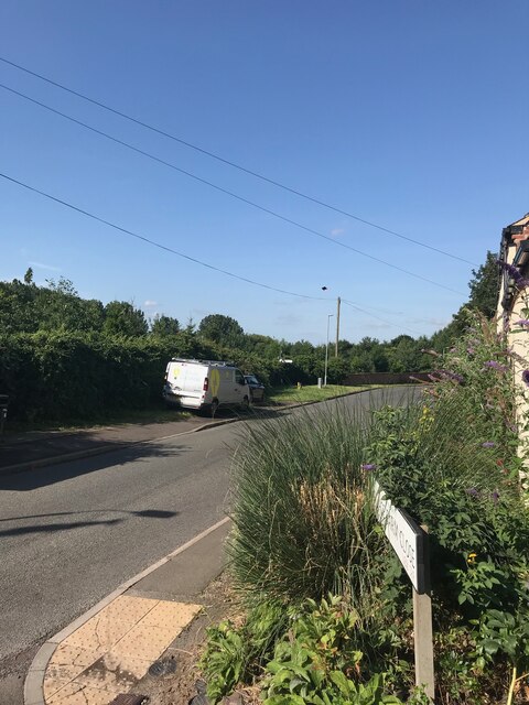
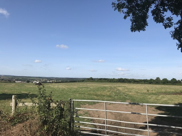
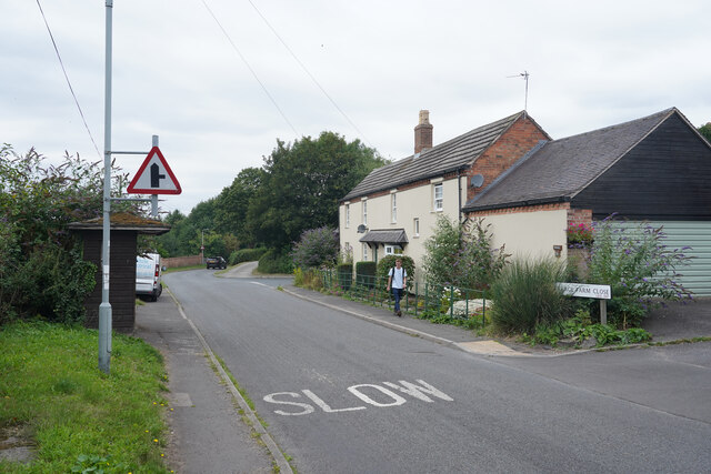
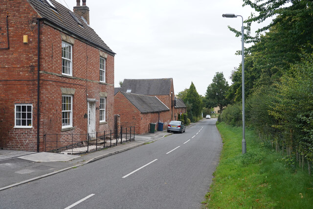
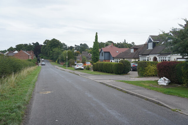
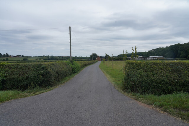
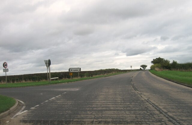
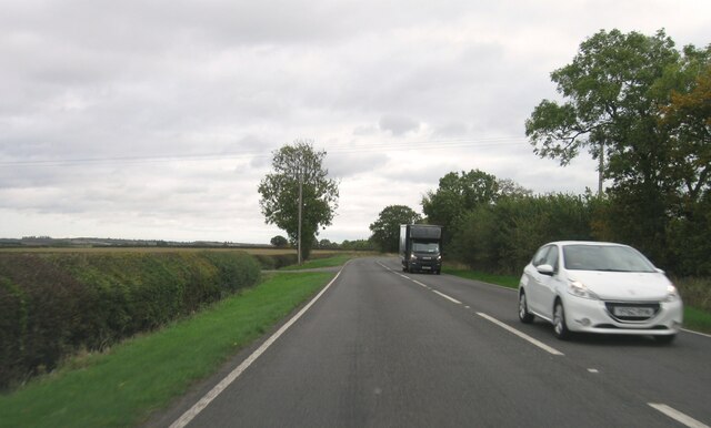
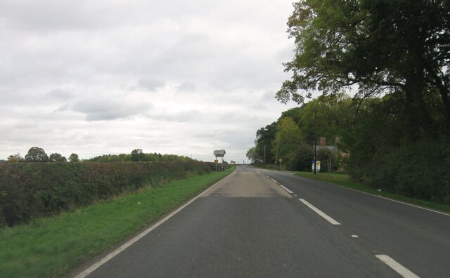
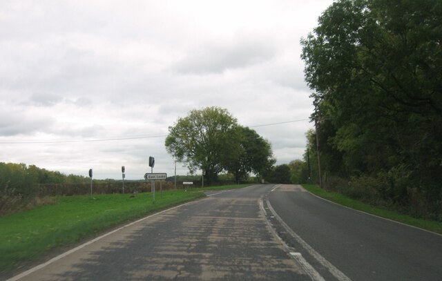
Brickyard Plantation Images
Images are sourced within 2km of 52.821186/-1.2039048 or Grid Reference SK5325. Thanks to Geograph Open Source API. All images are credited.


Brickyard Plantation is located at Grid Ref: SK5325 (Lat: 52.821186, Lng: -1.2039048)
Administrative County: Nottinghamshire
District: Rushcliffe
Police Authority: Nottinghamshire
What 3 Words
///stage.mammoths.complain. Near East Leake, Nottinghamshire
Nearby Locations
Related Wikis

East Leake railway station
East Leake railway station is a former railway station serving East Leake, Nottinghamshire and is the only surviving Great Central Railway station accessed...
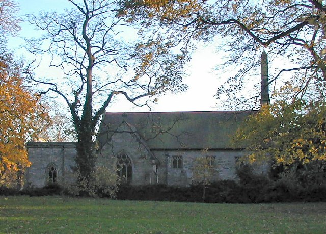
St Helena's Church, West Leake
St Helena's Church, West Leake is a parish church in the Church of England in West Leake, Nottinghamshire. The church is Grade II* listed by the Department...

Leake Rural District
Leake was a rural district in Nottinghamshire, England from 1894 to 1935. It was formed from the Nottinghamshire part of the Loughborough rural sanitary...
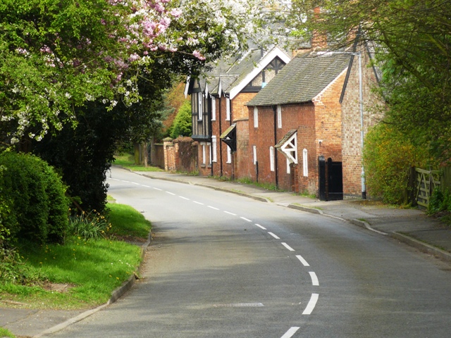
West Leake
West Leake () is a small conservation village and civil parish in the Rushcliffe district of Nottinghamshire. == Description == === Setting === The parish...
Related Videos

East Leake Walk | A Walk in the East midlands
A day walk of 11 miles from East Leake via West Leake and Gotham. Having parked up in East Leake I heade through some old ...

The Holden Home Tour | Plot 84, The Skylarks, East Leake
The four bedroom Holden at The Skylarks, East Leake View this home: ...

Rushcliffe Business Directory East Leake Travel Agents
https://rushcliffebusinessdirectory.co.uk/ The business directory for key businesses in the borough of Rushcliffe In Nottinghamshire ...

Gunshot test #gun #gunshot #cool #military #stopmotion
Just a quick test.
Nearby Amenities
Located within 500m of 52.821186,-1.2039048Have you been to Brickyard Plantation?
Leave your review of Brickyard Plantation below (or comments, questions and feedback).