Abererch

Settlement in Caernarfonshire

Wales

Abererch

Ebenezer Chapel, Abererch Built 1868 across the road from the established church and Cadw grade-II listed (21356 <span class="nowrap"><a title="https://cadwpublic-api.azurewebsites.net/reports/listedbuilding/FullReport?lang=&id=21356" rel="nofollow ugc noopener" href="https://cadwpublic-api.azurewebsites.net/reports/listedbuilding/FullReport?lang=&id=21356">Link</a><img style="margin-left:2px;" alt="External link" title="External link - shift click to open in new window" src="https://s1.geograph.org.uk/img/external.png" width="10" height="10"/></span> ).
Ebenezer Chapel, Abererch Credit: Bill Harrison

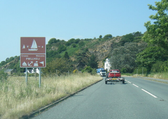
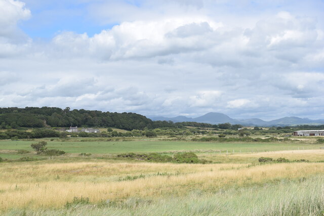
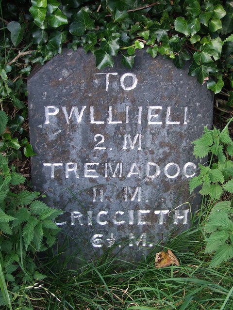
Abererch is a small village located in the county of Caernarfonshire, Wales. Situated on the Llŷn Peninsula, it lies on the northern coast of Cardigan Bay. The village is approximately 5 miles southwest of Pwllheli and 18 miles south of Caernarfon.

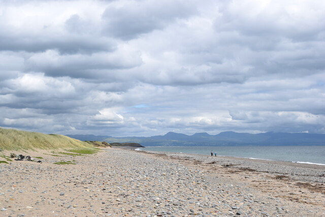
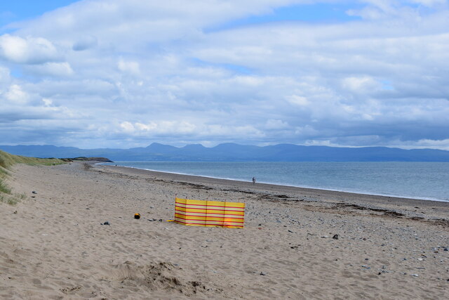
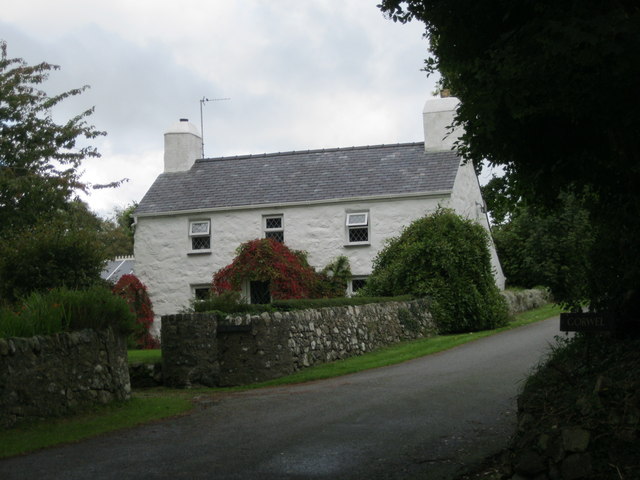
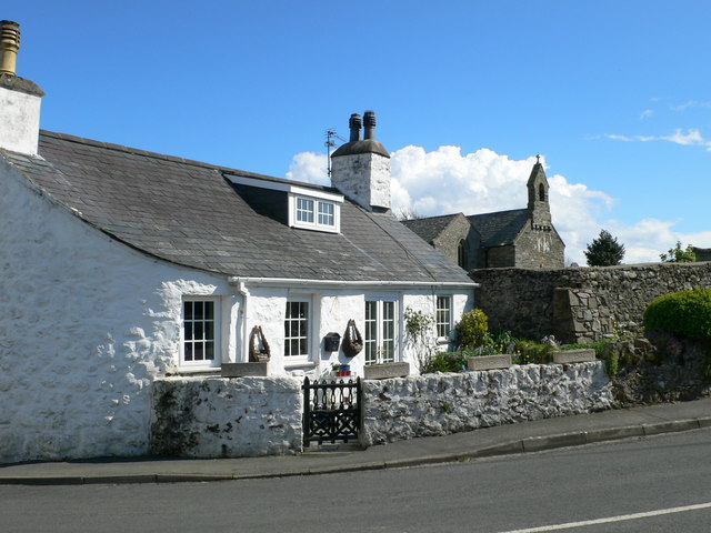
With a population of around 1,000 residents, Abererch is known for its picturesque setting and stunning natural beauty. The village is surrounded by rolling green hills and overlooks a long sandy beach, making it a popular destination for tourists and locals alike.

The beach at Abererch offers opportunities for swimming, sunbathing, and water sports such as windsurfing and sailing. It is also home to a marina, providing berths for boats and yachts. The area is known for its diverse marine life, and fishing is a common activity for visitors.

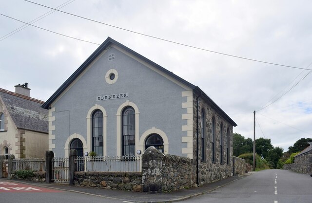
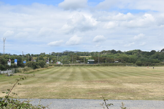
Abererch has a close-knit community and is served by a primary school, a village hall, and a few local shops and businesses. The nearby towns of Pwllheli and Caernarfon offer a wider range of amenities and services.

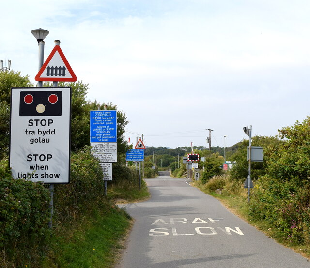
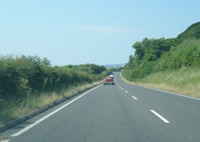
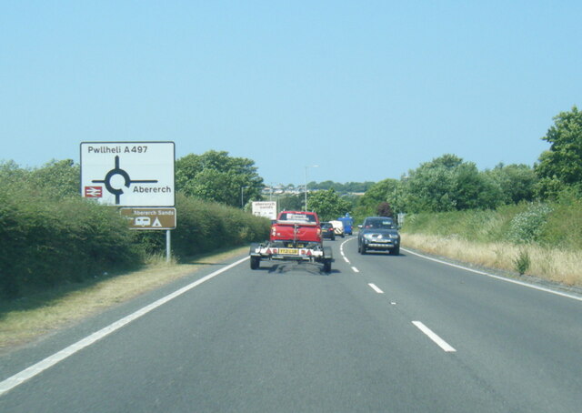
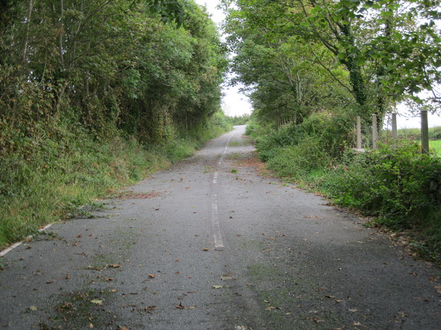
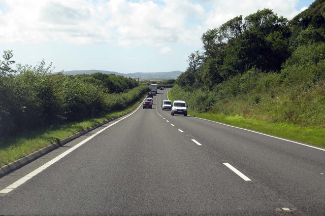
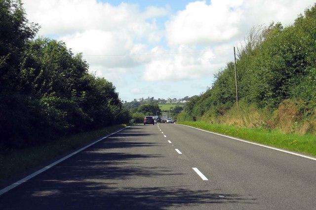
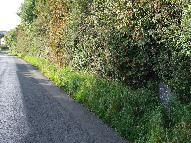
The village is well-connected by transport links, with the A497 road passing through, providing easy access to surrounding areas. Additionally, there is a railway station located in the village, connecting Abererch to nearby towns and cities.

Overall, Abererch is a charming village with its beautiful beach, stunning views, and welcoming community, making it an appealing destination for both residents and visitors looking for a peaceful coastal retreat in Caernarfonshire.

If you have any feedback on the listing, please let us know in the comments section below.

Abererch Images

Images are sourced within 2km of 52.905201/-4.384113 or Grid Reference SH3936. Thanks to Geograph Open Source API. All images are credited.

Ebenezer Chapel, Abererch Built 1868 across the road from the established church and Cadw grade-II listed (21356 <span class="nowrap"><a title="https://cadwpublic-api.azurewebsites.net/reports/listedbuilding/FullReport?lang=&id=21356" rel="nofollow ugc noopener" href="https://cadwpublic-api.azurewebsites.net/reports/listedbuilding/FullReport?lang=&id=21356">Link</a><img style="margin-left:2px;" alt="External link" title="External link - shift click to open in new window" src="https://s1.geograph.org.uk/img/external.png" width="10" height="10"/></span> ).
Ebenezer Chapel, Abererch
Built 1868 across the road from the established church and Cadw grade-II listed (21356 LinkExternal link ).
A497 near Glan Afon
A497 near Glan Afon
A497 at Pwllheli boundary
Old Milestone by A497, Halfway House The Milestone is located  on the North of the road.  Parish of Pwllheli (Gwynedd District). Slate chamfered corner design, erected in the 19th Century, has pitting. 

Inscription reads:- 
TO / PWLLHELI / 1.M. / TREMADOC / 12.M. / CRICCIETH / 7½ .M. 

Milestone Society National ID: CAE_PWTM01
Old Milestone by A497, Halfway House
The Milestone is located on the North of the road.  Parish of Pwllheli (Gwynedd District). Slate chamfered corner design, erected in the 19th Century, has pitting. Inscription reads:- TO / PWLLHELI / 1.M. / TREMADOC / 12.M. / CRICCIETH / 7½ .M. Milestone Society National ID: CAE_PWTM01
View over the fields from Abererch beach Moel Hebog (elev. 782 m) looms in the background.
View over the fields from Abererch beach
Moel Hebog (elev. 782 m) looms in the background.
On the beach Abererch beach looking east towards Pen-ychain point and much farther back, the foothills of southern Snowdonia.
On the beach
Abererch beach looking east towards Pen-ychain point and much farther back, the foothills of southern Snowdonia.
Looking towards Abererch station The halt on the Machynlleth to Pwllheli line has a roughly two-hourly service.  Passengers on the platform must signal to the driver to stop.
Looking towards Abererch station
The halt on the Machynlleth to Pwllheli line has a roughly two-hourly service. Passengers on the platform must signal to the driver to stop.
Prime spot on the beach at Abererch
Cross with care Bilingual signage on the approach to the level crossing to the west of Abererch station including a classic 'risk of grounding' warning sign.
Cross with care
Bilingual signage on the approach to the level crossing to the west of Abererch station including a classic 'risk of grounding' warning sign.
A497 near Tanclogwyn
A497 nearing Abererch roundabout
Ffordd wledig - Country road The narrow road running down to Abererch
Ffordd wledig - Country road
The narrow road running down to Abererch
Yr hen A497 - Former A497
Gorwel An old cottage beside the former A 497
Gorwel
An old cottage beside the former A 497
The A497 near Tan-yr-allt
The A497 to Pwllheli
Old Milestone Old milestone on what was the A497 before being bypassed near to Abererch, Gwynedd. For overall view see <a title="https://www.geograph.org.uk/photo/5634720" href="https://www.geograph.org.uk/photo/5634720">Link</a>
Old Milestone
Old milestone on what was the A497 before being bypassed near to Abererch, Gwynedd. For overall view see Link
Pwllheli 2 Miles Milestone on what was the A497 before being bypassed near to Abererch, Gwynedd. For close up view see <a title="https://www.geograph.org.uk/photo/5634719" href="https://www.geograph.org.uk/photo/5634719">Link</a>
Pwllheli 2 Miles
Milestone on what was the A497 before being bypassed near to Abererch, Gwynedd. For close up view see Link
Show me another place!

Abererch is located at Grid Ref: SH3936 (Lat: 52.905201, Lng: -4.384113)

Unitary Authority: Gwynedd

Police Authority: North Wales

Also known as: Aber-erch

What 3 Words

///doctor.sticks.ambushed. Near Pwllheli, Gwynedd

Nearby Locations

Aber-erch Abererch

Related Wikis

Abererch

Aber-erch ([abɛrˈɛrχ], Welsh for "Mouth of the Erch") is a small village and former civil parish on the Llŷn Peninsula in the Welsh county of Gwynedd....

Abererch railway station

Abererch railway station is located at a level crossing on the minor road from the beach to the village of Abererch on the Llŷn Peninsula in Gwynedd, Wales...

Bryn Beryl Hospital

Bryn Beryl Hospital (Welsh: Ysbyty Bryn Beryl) is a health facility in Pwllheli, Gwynedd, Wales. It is managed by the Betsi Cadwaladr University Health...

Y Ffôr

Y Ffôr is a Welsh village located on the Llŷn Peninsula in the county of Gwynedd. == History == Settlement at Y Ffôr dates back to the Stone Age, but the...

Afon Erch

The Afon Erch is a short river on the Llŷn peninsula, Gwynedd, Wales. It arises near the village of Llanaelhaearn, flowing south and southwest towards...

Penarth Fawr

Penarth Fawr is a hall house in the community of Llanystumdwy, Gwynedd, Wales. The oldest part of the house dates from the mid-fifteenth century and consists...

Pwllheli Lifeboat Station

Pwllheli Lifeboat Station (based in Pwllheli, Gwynedd, Wales) was first established by the Royal National Lifeboat Institution (RNLI) in 1891 at a cost...

Carreg yr Imbill

Carreg yr Imbill is the remains of a large dolerite with pegmatite pods and quarry at Pwllheli, Gwynedd, Wales. The dolerite was mined by the Liverpool...

Nearby Amenities

Located within 500m of 52.905201,-4.384113
Direction: S
Generator Method: photovoltaic
Generator Output Electricity: yes
Generator Solar Modules: 8
Generator Source: solar
Generator Type: solar_photovoltaic_panel
Location: roof
Power: generator
Lat/Long: 52.9025509/-4.3863827
Direction: 170
Generator Method: photovoltaic
Generator Output Electricity: yes
Generator Solar Modules: 16
Generator Source: solar
Generator Type: solar_photovoltaic_panel
Location: roof
Power: generator
Lat/Long: 52.9033291/-4.3847331
Direction: SSW
Generator Method: photovoltaic
Generator Output Electricity: yes
Generator Solar Modules: 14
Generator Source: solar
Generator Type: solar_photovoltaic_panel
Location: roof
Power: generator
Lat/Long: 52.904866/-4.3816298
Direction: SSW
Generator Method: photovoltaic
Generator Output Electricity: yes
Generator Solar Modules: 18
Generator Source: solar
Generator Type: solar_photovoltaic_panel
Location: roof
Power: generator
Lat/Long: 52.9049695/-4.3820241
Abererch
Place: village
Wikidata: Q319538
Lat/Long: 52.9032727/-4.3809067
Generator Source: solar
Location: roof
Power: generator
Lat/Long: 52.9090089/-4.3837981
The data included in this document is from www.openstreetmap.org. The data is made available under ODbL.

Have you been to Abererch?

Leave your review of Abererch below (or comments, questions and feedback).