Great Spinney
Wood, Forest in Oxfordshire Cherwell
England
Great Spinney

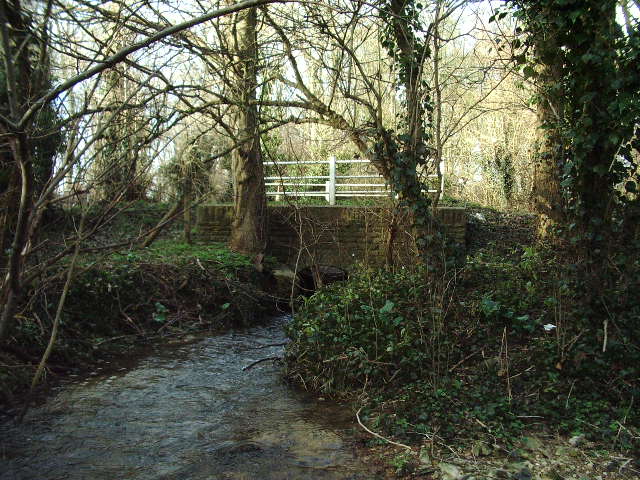
Great Spinney is a picturesque woodland located in Oxfordshire, England. Covering an area of approximately 50 acres, it is a beautiful example of a natural forest, rich in biodiversity and ecological significance. The Spinney is situated in close proximity to the village of Oxford, making it easily accessible for both locals and visitors.
The woodland is predominantly composed of a variety of native tree species, such as oak, birch, beech, and ash. These trees create a dense canopy, providing shade and shelter for a diverse range of flora and fauna. The forest floor is covered in a lush carpet of mosses, ferns, and wildflowers, adding to its enchanting beauty.
Great Spinney is known for its vibrant wildlife population. Visitors can spot a wide array of bird species, including woodpeckers, owls, and various songbirds. Mammals such as foxes, rabbits, and squirrels also call this woodland home. In the spring and summer months, the forest comes alive with the sounds of buzzing insects and the sight of colorful butterflies fluttering among the flowers.
The Spinney offers a tranquil escape from the hustle and bustle of urban life, providing a serene environment for nature enthusiasts and hikers. Numerous walking trails wind through the forest, allowing visitors to explore its hidden corners and discover its hidden treasures. The woodland is also a popular destination for families, who can enjoy picnics, nature walks, and educational activities.
Overall, Great Spinney is a captivating woodland that showcases the natural beauty of Oxfordshire. Its diverse ecosystem and idyllic setting make it a must-visit destination for anyone seeking a peaceful retreat in the heart of nature.
If you have any feedback on the listing, please let us know in the comments section below.
Great Spinney Images
Images are sourced within 2km of 51.87013/-1.2241425 or Grid Reference SP5319. Thanks to Geograph Open Source API. All images are credited.


Great Spinney is located at Grid Ref: SP5319 (Lat: 51.87013, Lng: -1.2241425)
Administrative County: Oxfordshire
District: Cherwell
Police Authority: Thames Valley
What 3 Words
///blankets.candles.gathering. Near Bicester, Oxfordshire
Nearby Locations
Related Wikis

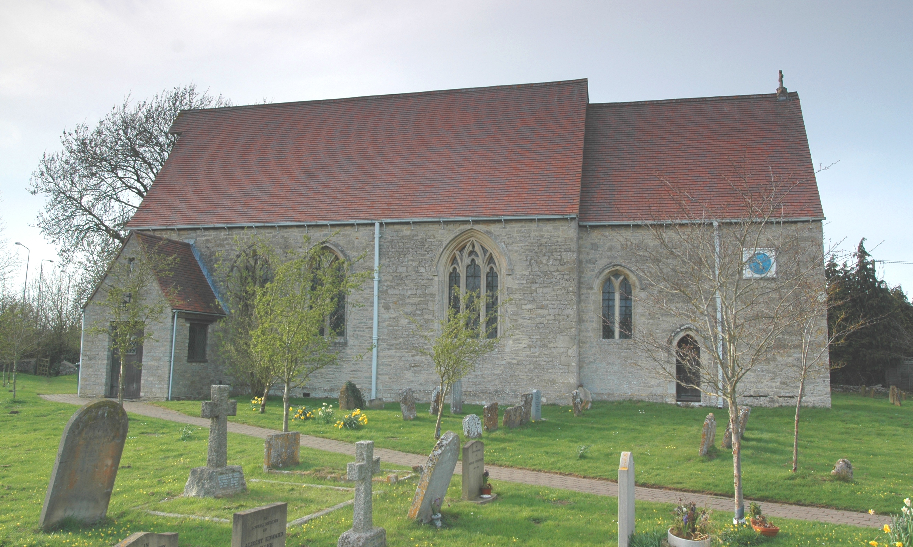
Weston-on-the-Green
Weston-on-the-Green is a village and civil parish in the Cherwell district of Oxfordshire, England, about 4 miles (6 km) southwest of Bicester. The 2011...

The Manor Country House Hotel, Weston-on-the-Green
The Manor Country House Hotel in Weston-on-the-Green is a building of historical significance and is Grade II* listed on the English Heritage Register...
RAF Weston-on-the-Green
RAF Weston-on-the-Green is a Royal Air Force station that was redeveloped after the Great War period. Much demolition took place (including the original...

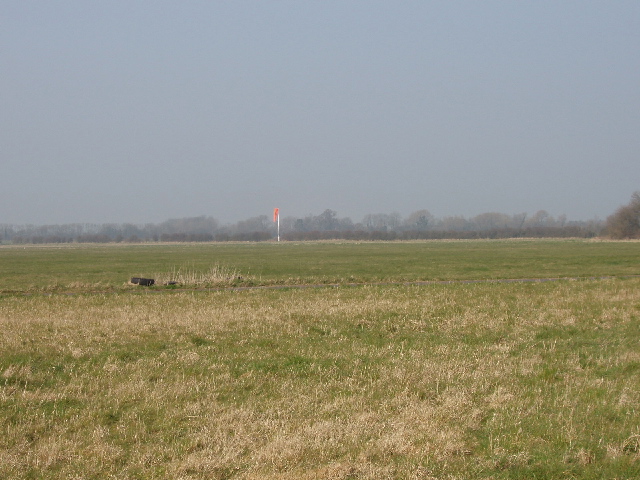
Weston Fen, Oxfordshire
Weston Fen is a 14-hectare (35-acre) biological Site of Special Scientific Interest north of Weston-on-the-Green in Oxfordshire.This site has diverse habitats...

Weston Otmoor
Weston Otmoor was a proposed new eco-town in the north of Oxfordshire, England, in countryside to the east of the village of Weston-on-the-Green. It would...

Ploughley Rural District
Ploughley was a rural district in Oxfordshire, England, from 1932 to 1974. It entirely surrounded Bicester but did not include it. It was created in 1932...
Wendlebury
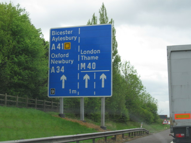
Wendlebury is a village and civil parish about 2 miles (3 km) southwest of Bicester and about 1⁄2 mile (800 m) from Junction 9 of the M40. Junction 9 is...

Woodsides Meadow
Woodsides Meadow is a 4-hectare (9.9-acre) nature reserve south of Wendlebury in Oxfordshire. It is managed by the Berkshire, Buckinghamshire and Oxfordshire...
Nearby Amenities
Located within 500m of 51.87013,-1.2241425Have you been to Great Spinney?
Leave your review of Great Spinney below (or comments, questions and feedback).