Cosby Spinneys
Wood, Forest in Leicestershire Blaby
England
Cosby Spinneys

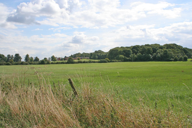
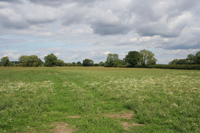
Cosby Spinneys is a woodland area located in Leicestershire, England. Situated near the village of Cosby, it covers an approximate area of 150 acres. The Spinneys is a part of the ancient forest known as the Forest of Leicester and has a rich history dating back several centuries.
The woodland is predominantly composed of mixed broadleaf trees, including oak, ash, beech, and birch. These trees create a diverse and vibrant habitat, attracting a wide range of flora and fauna. Cosby Spinneys is known for its carpet of bluebells that bloom in spring, creating a stunning visual spectacle.
The Spinneys also houses a variety of wildlife, including deer, foxes, badgers, and a plethora of bird species such as woodpeckers, owls, and jays. It is a popular spot for nature enthusiasts, birdwatchers, and photographers who come to explore and appreciate the natural beauty of the area.
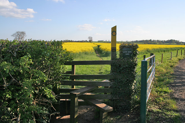
Visitors can enjoy numerous footpaths and trails that wind through the woodland, offering peaceful walks and opportunities to connect with nature. The management of Cosby Spinneys is overseen by local authorities and conservation groups, ensuring the preservation of its ecological importance.
Overall, Cosby Spinneys in Leicestershire is a picturesque and biodiverse woodland, providing a tranquil escape from the hustle and bustle of daily life. Its natural beauty, diverse wildlife, and historical significance make it a cherished location for both locals and visitors alike.
If you have any feedback on the listing, please let us know in the comments section below.
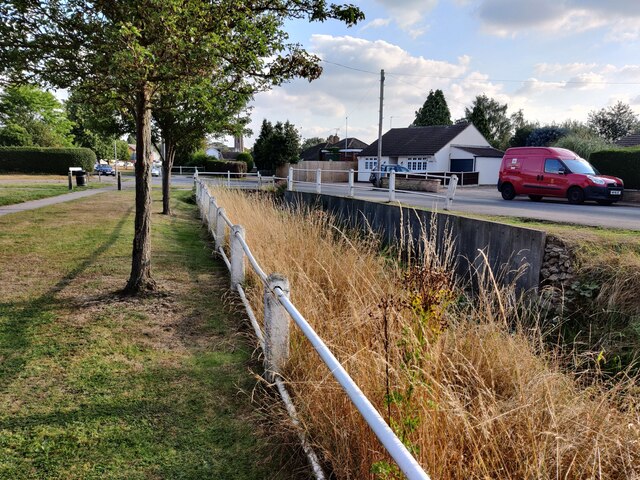
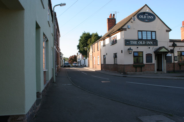
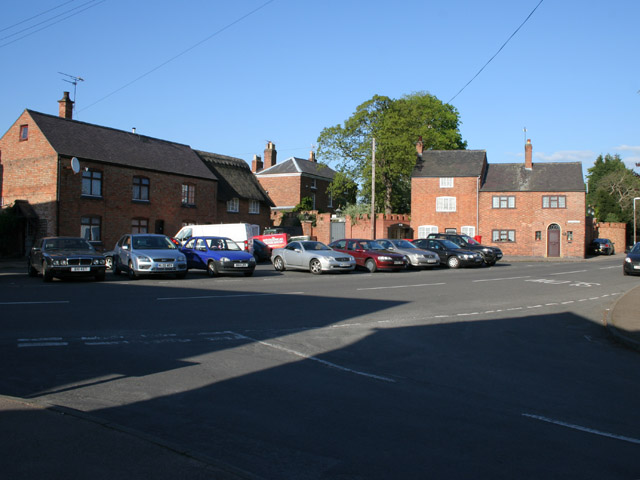
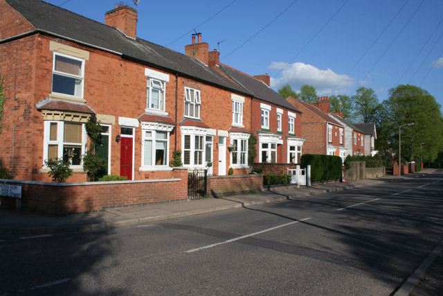
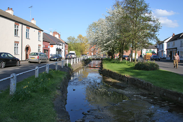
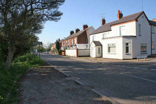
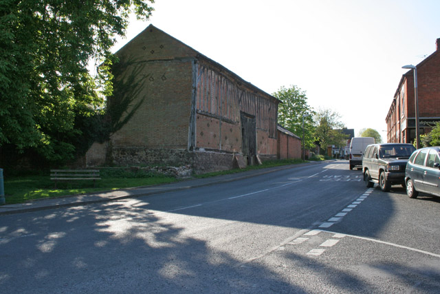
Cosby Spinneys Images
Images are sourced within 2km of 52.552803/-1.2133118 or Grid Reference SP5395. Thanks to Geograph Open Source API. All images are credited.


Cosby Spinneys is located at Grid Ref: SP5395 (Lat: 52.552803, Lng: -1.2133118)
Administrative County: Leicestershire
District: Blaby
Police Authority: Leicestershire
What 3 Words
///wipe.corrupted.argued. Near Cosby, Leicestershire
Nearby Locations
Related Wikis

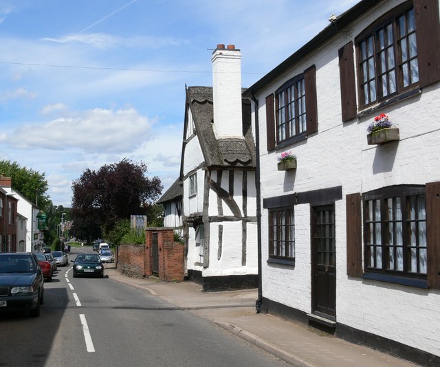
Cosby, Leicestershire
Cosby is a village in the English county of Leicestershire. Cosby is located in the south of the county near the larger villages and towns of Whetstone...

Saffron Dynamo F.C.
Saffron Dynamo Football Club is a football club based in Cosby, Leicestershire, England. They are currently members of the United Counties League Division...
Littlethorpe, Leicestershire
Littlethorpe is a small village approximately six miles (ten kilometres) south of Leicester, separated from the village of Narborough by the Leicester...

Croft, Leicestershire
Croft is a village and civil parish in the Blaby district of Leicestershire, off the Fosse Way, straddling the River Soar. The population of the civil...

Sutton in the Elms
Sutton in the Elms is a settlement in the northwest of Broughton Astley (where the population is listed), Leicestershire. Its name is sometimes abbreviated...
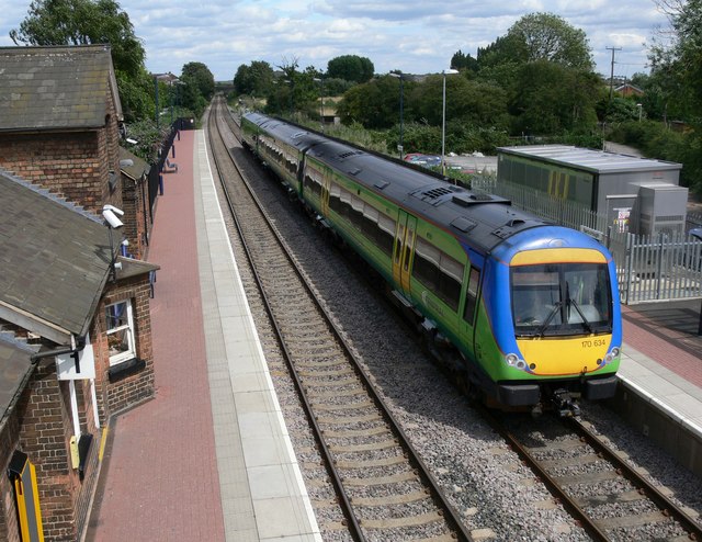
Narborough railway station
Narborough railway station serves the large village of Narborough and the small village of Littlethorpe in Leicestershire. It is on the Birmingham to Peterborough...

Narborough Hall
Narborough Hall is a Grade II* listed building in Narborough in Leicestershire. Believed to date from 1596 this Elizabethan manor house was built by James...
Croft railway station, Leicester
Croft railway station was a railway station serving the village of Croft in Leicestershire. It was on the Birmingham to Peterborough Line about 9 miles...
Nearby Amenities
Located within 500m of 52.552803,-1.2133118Have you been to Cosby Spinneys?
Leave your review of Cosby Spinneys below (or comments, questions and feedback).