Kenton's Wood

Wood, Forest in Berkshire

England

Kenton's Wood

Hyde End Lane
Hyde End Lane Credit: Oscar

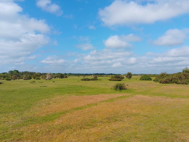
Kenton's Wood is a woodland located in the county of Berkshire, England. Situated in the village of Wood, this forested area covers an approximate area of 200 acres, making it a significant natural landmark in the region.

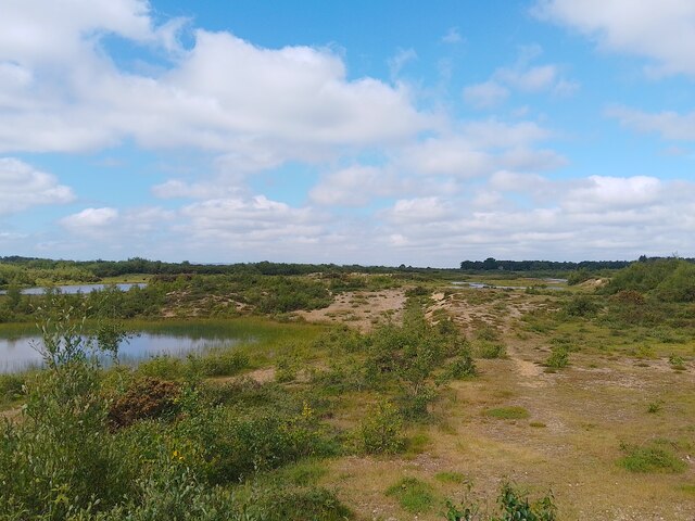
The woodland is characterized by its rich biodiversity and stunning natural beauty. It is primarily composed of a mixture of broadleaf and coniferous trees, creating a diverse and captivating landscape. Kenton's Wood is home to a wide array of flora and fauna, including oak, beech, and birch trees, as well as various species of birds, mammals, and insects.

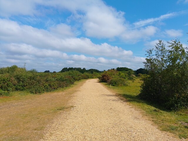
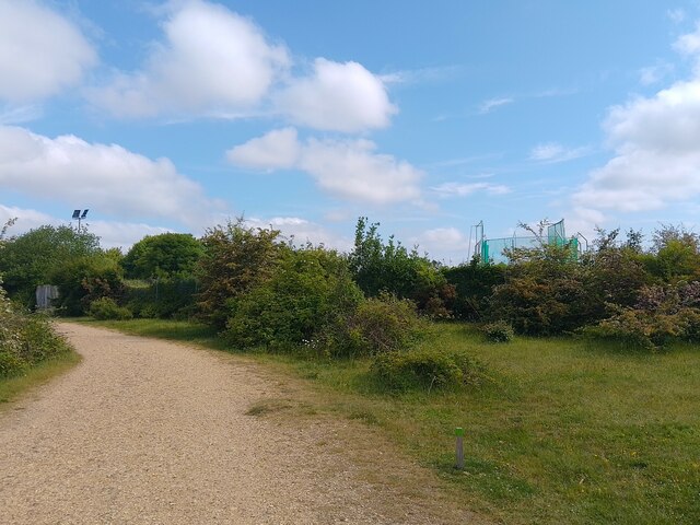
The wood offers a tranquil escape from the hustle and bustle of everyday life, making it a popular destination for outdoor enthusiasts and nature lovers. It features a network of walking and cycling trails, allowing visitors to explore the area at their leisure. The trails are well-maintained, providing a comfortable and enjoyable experience for all.

Kenton's Wood is also a haven for wildlife enthusiasts and photographers, with opportunities to spot and capture images of rare and elusive species. It serves as an important habitat for many animals, including badgers, deer, and a variety of bird species.

Additionally, the wood has historical significance, with evidence of human activity dating back centuries. It is believed to have been used for timber production in the past, providing resources for the local community. Today, Kenton's Wood stands as a testament to the natural and cultural heritage of the area, attracting visitors from near and far to experience its beauty and serenity.

If you have any feedback on the listing, please let us know in the comments section below.

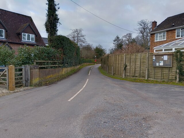
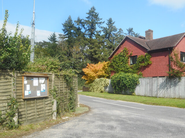
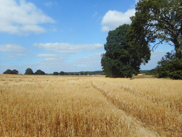
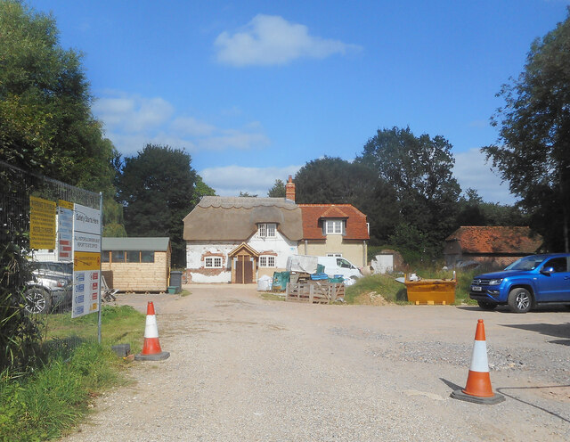
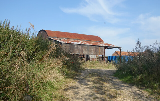
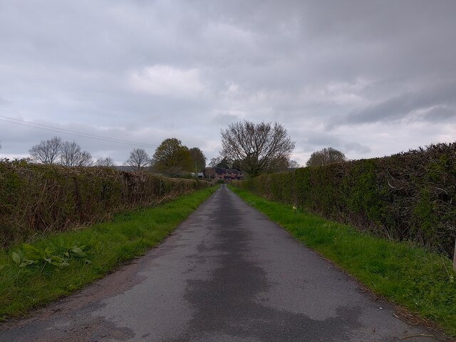
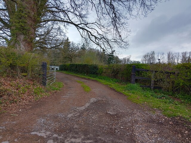
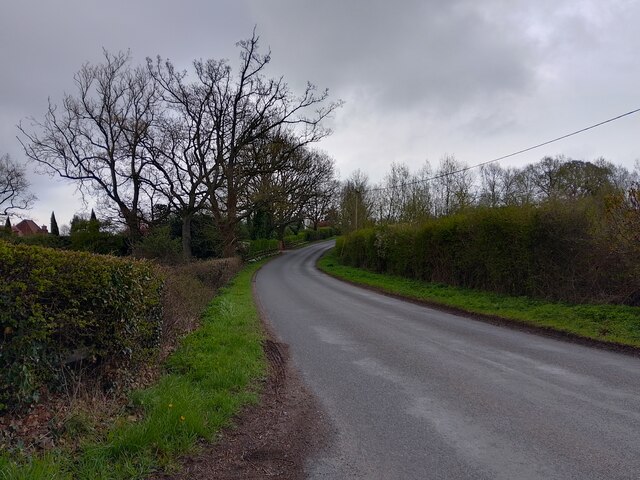
Kenton's Wood Images

Images are sourced within 2km of 51.371339/-1.235358 or Grid Reference SU5363. Thanks to Geograph Open Source API. All images are credited.

Hyde End Lane
Hyde End Lane
Parish Notices, Hyde End Lane Between Brimpton and Crookham is a group of houses around the junction of Crookham Common Road and Hyde End Lane. A Brimpton Parish Council notice board is on the back fence of a house on the corner.
Parish Notices, Hyde End Lane
Between Brimpton and Crookham is a group of houses around the junction of Crookham Common Road and Hyde End Lane. A Brimpton Parish Council notice board is on the back fence of a house on the corner.
A Field of Oats, Kingsclere Woodlands
Renovations at Plastow Green One of the old houses is being done up.
Renovations at Plastow Green
One of the old houses is being done up.
Old Pit on Crookham Common One of several small ponds on the common near here. I don't know why the map doesn't show this area as access land like the rest of the common, because on the ground there is no distinction.
Old Pit on Crookham Common
One of several small ponds on the common near here. I don't know why the map doesn't show this area as access land like the rest of the common, because on the ground there is no distinction.
Barn at Upper Hyde End Farm In the SW corner of SU5564 towards the end of Hyde End Lane before it becomes a track.
Barn at Upper Hyde End Farm
In the SW corner of SU5564 towards the end of Hyde End Lane before it becomes a track.
Footpath off Ashford Hill Road A driveway to a few houses on the outskirts of Headley is the route of a public footpath off Ashford Hill Road.
Footpath off Ashford Hill Road
A driveway to a few houses on the outskirts of Headley is the route of a public footpath off Ashford Hill Road.
Driveway off Ashford Hill Road A driveway off Ashford Hill Road, near Goose Hill.
Driveway off Ashford Hill Road
A driveway off Ashford Hill Road, near Goose Hill.
Ashford Hill Road Ashford Hill Road is the main road between Headley at the A339 and Ashford Hill at the B3051 (Little Knowl Hill).
Ashford Hill Road
Ashford Hill Road is the main road between Headley at the A339 and Ashford Hill at the B3051 (Little Knowl Hill).
Runway light mount, Greenham Common One of many left across the common, this mount would have held a runway light on a pole to mark the approach to one of the runways when the common was used as an air base.

When the common was used as a US Air Force base in the 1980s, the original smaller runways were not used as frequently, and some of these mounts were used for windsocks.
Runway light mount, Greenham Common
One of many left across the common, this mount would have held a runway light on a pole to mark the approach to one of the runways when the common was used as an air base. When the common was used as a US Air Force base in the 1980s, the original smaller runways were not used as frequently, and some of these mounts were used for windsocks.
Greenham Common path A gravel path across Greenham Common. In an effort to allow ground-nesting birds to flourish on the common, the minor paths have been removed between the main paths. Unfortunately dogs are let off their leads to roam free, so there can't be many birds around.
Greenham Common path
A gravel path across Greenham Common. In an effort to allow ground-nesting birds to flourish on the common, the minor paths have been removed between the main paths. Unfortunately dogs are let off their leads to roam free, so there can't be many birds around.
Greenham Common parkrun cones Cones to mark the route of the parkrun around Greenham Common, with a volunteer packing up after the run has finished.
Greenham Common parkrun cones
Cones to mark the route of the parkrun around Greenham Common, with a volunteer packing up after the run has finished.
Cable and concrete, Crookham Common A cable coming out of the ground and some concrete at a jaunty angle on Crookham Common, from when the common was used as an airbase.
Cable and concrete, Crookham Common
A cable coming out of the ground and some concrete at a jaunty angle on Crookham Common, from when the common was used as an airbase.
Crookham Common Looking across the common towards Greenham Common.
Crookham Common
Looking across the common towards Greenham Common.
Crookham Common path A gravel path across Crookham Common. In an effort to allow ground-nesting birds to flourish on the common, the minor paths have been removed between the main paths. Unfortunately dogs are let off their leads to roam free, so there can't be many birds around.
Crookham Common path
A gravel path across Crookham Common. In an effort to allow ground-nesting birds to flourish on the common, the minor paths have been removed between the main paths. Unfortunately dogs are let off their leads to roam free, so there can't be many birds around.
Crookham Common Athletic Club from the common Looking over the hedges at the athletic club from Crookham Common. The facilities are used by Newbury Athletic Club and Team Kennet Athletic Club.
Crookham Common Athletic Club from the common
Looking over the hedges at the athletic club from Crookham Common. The facilities are used by Newbury Athletic Club and Team Kennet Athletic Club.
Crookham Common lakes The lakes at Crookham Common, in the old gravel pits. The lakes usually have very low water levels.
Crookham Common lakes
The lakes at Crookham Common, in the old gravel pits. The lakes usually have very low water levels.
Crookham Common Athletic Club The facilities are used by Newbury Athletic Club and Team Kennet Athletic Club.
Crookham Common Athletic Club
The facilities are used by Newbury Athletic Club and Team Kennet Athletic Club.
Show me another place!

Kenton's Wood is located at Grid Ref: SU5363 (Lat: 51.371339, Lng: -1.235358)

Unitary Authority: West Berkshire

Police Authority: Thames Valley

What 3 Words

///lilac.tubes.convert. Near Thatcham, Berkshire

Related Wikis

Crookham, Berkshire

Crookham is a dispersed hamlet in the English county of Berkshire, and part of the civil parish of Thatcham. == Geography == The settlement lies near...

Hyde End, Berkshire

Hyde End is a small hamlet in Berkshire, England, and part of the civil parish of Brimpton. The settlement lies south of the A4 road and approximately...

Ashford Hill with Headley

Ashford Hill with Headley is a civil parish in the Basingstoke and Deane district of Hampshire, England. The parish includes Ashford Hill, Plastow Green...

Plastow Green

Plastow Green is a hamlet in north Hampshire, England. == Governance == The hamlet is part of the civil parish of Ashford Hill with Headley, and is part...

A.F.C. Aldermaston

A.F.C. Aldermaston is a football club based in Aldermaston, Berkshire, England. Affiliated to the Berks & Bucks Football Association, the club are currently...

Headley, Basingstoke and Deane

Headley is a village in Hampshire, England. It is close to the county boundary with Berkshire and about 4 miles (6.4 km) south-east of Newbury. == Governance... ==

Colthrop Lock

Colthrop Lock is a lock on the Kennet and Avon Canal, at Thatcham, Berkshire, England. Colthrop Lock was built between 1718 and 1723 under the supervision...

Monkey Marsh Lock

Monkey Marsh Lock is a lock on the Kennet and Avon Canal, at Thatcham, Berkshire, England. Monkey Marsh Lock was built between 1718 and 1723 under the...

Nearby Amenities

Located within 500m of 51.371339,-1.235358
Power: pole
Lat/Long: 51.3718484/-1.2313529
Power: pole
Lat/Long: 51.3733236/-1.2310096
Power: pole
Lat/Long: 51.3746362/-1.2307334
Power: pole
Lat/Long: 51.3677382/-1.2311232
Power: pole
Lat/Long: 51.3691649/-1.2319386
Power: pole
Lat/Long: 51.3704944/-1.2316382
The data included in this document is from www.openstreetmap.org. The data is made available under ODbL.

Have you been to Kenton's Wood?

Leave your review of Kenton's Wood below (or comments, questions and feedback).