Anston Stones Wood
Wood, Forest in Yorkshire
England
Anston Stones Wood
Anston Stones Wood, located in Yorkshire, England, is a charming and serene forest known for its natural beauty and rich history. Spanning over 200 acres, this woodland is a haven for nature lovers and outdoor enthusiasts.
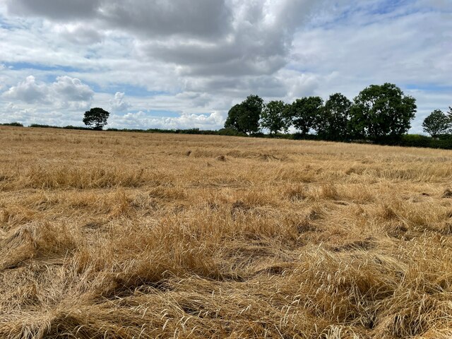
The forest is home to a diverse range of flora and fauna, with ancient oak and beech trees dominating the landscape. The woodland floor is carpeted with wildflowers during springtime, creating a vibrant burst of colors. Moreover, the forest is also home to a variety of wildlife, including deer, squirrels, and a plethora of bird species, making it an ideal spot for birdwatching and wildlife spotting.
For those interested in history, Anston Stones Wood holds great significance. The area has evidence of human occupation dating back to the Neolithic period, with several ancient burial mounds and stone circles scattered throughout the forest. These archaeological remains provide a glimpse into the past and offer a unique insight into the lives of those who once inhabited the area.
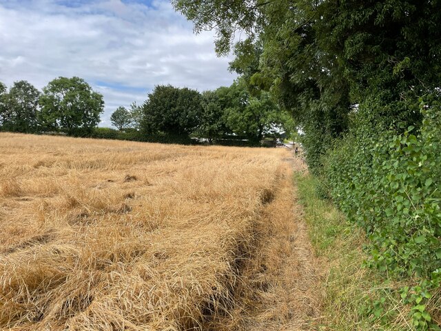
Visitors can explore the woodland through a network of well-maintained trails that wind through the trees, offering picturesque views and a sense of tranquility. There are also picnic areas and benches strategically placed along the trails, allowing visitors to pause and soak in the peaceful atmosphere.
Anston Stones Wood is a true gem in Yorkshire, offering a perfect blend of natural beauty, wildlife, and historical significance. Whether one seeks a peaceful stroll, a glimpse into the past, or simply a connection with nature, this enchanting forest is sure to captivate and leave a lasting impression on all who visit.
If you have any feedback on the listing, please let us know in the comments section below.
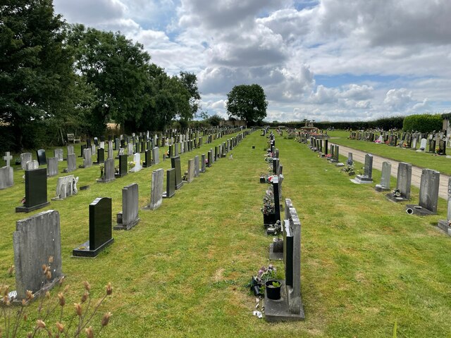
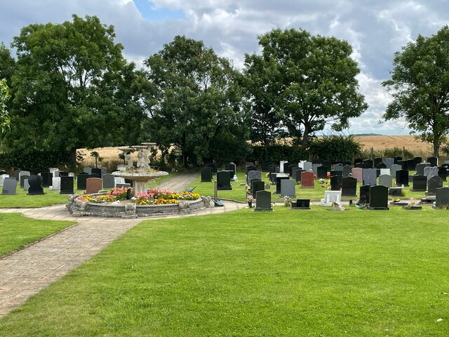
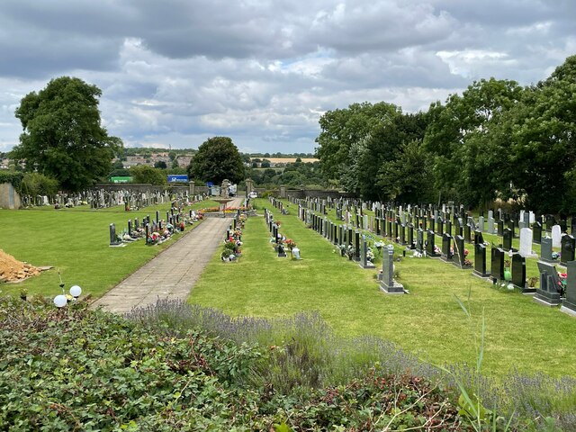
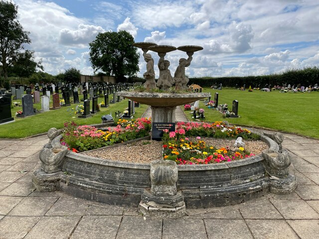
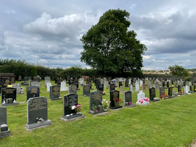
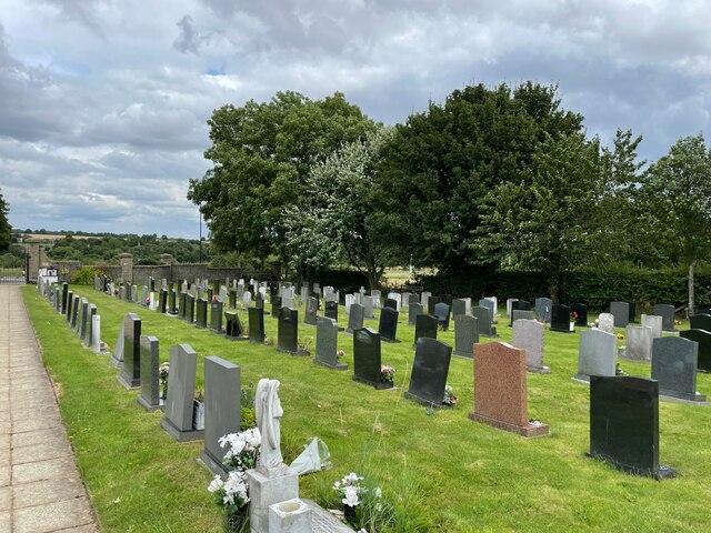
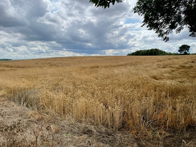
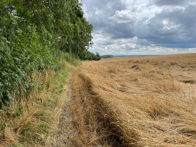
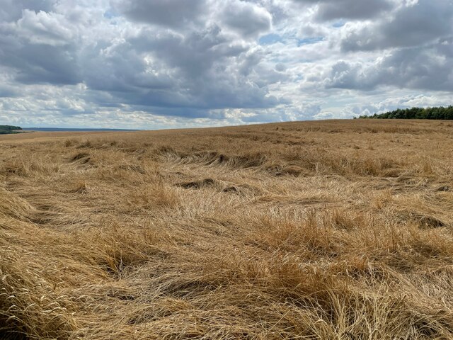
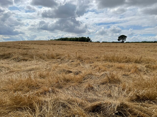
Anston Stones Wood Images
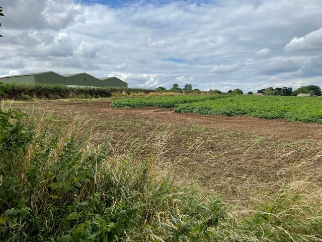
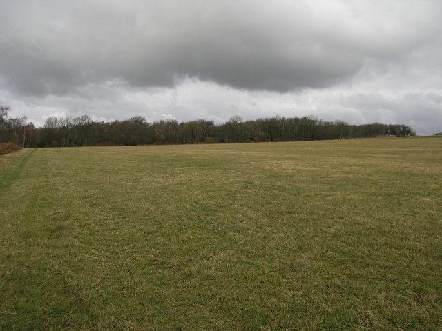
Images are sourced within 2km of 53.34333/-1.2027622 or Grid Reference SK5383. Thanks to Geograph Open Source API. All images are credited.

Anston Stones Wood is located at Grid Ref: SK5383 (Lat: 53.34333, Lng: -1.2027622)
Division: West Riding
Unitary Authority: Rotherham
Police Authority: South Yorkshire
What 3 Words
///chuckling.strong.indulges. Near Woodsetts, South Yorkshire
Nearby Locations
Related Wikis
Anston Stones Wood
Anston Stones Wood (grid reference SK531831) is a 33.7 hectare (88.3 acre) biological site of Special Scientific Interest in South Yorkshire. The site...

Beighton (ward)
Beighton ()—which includes the districts of Beighton, Hackenthorpe, Owlthorpe, and Sothall—is one of the 28 electoral wards in City of Sheffield, England...

St James Church, Anston
St James Church, Anston is a grade I listed Church of England parish church situated in Anston, South Yorkshire, England. == History == Anston has had...

Harry Crofts Colliery
Harry Crofts Colliery was a small, short lived coal mine within the parish of South Anston, near Rotherham, South Yorkshire. The colliery was sunk between...
Nearby Amenities
Located within 500m of 53.34333,-1.2027622Have you been to Anston Stones Wood?
Leave your review of Anston Stones Wood below (or comments, questions and feedback).