Fullamoor Plantation
Wood, Forest in Oxfordshire South Oxfordshire
England
Fullamoor Plantation

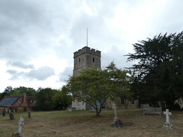
Fullamoor Plantation is a picturesque woodland located in Oxfordshire, England. Covering an area of approximately 500 acres, it is nestled in the heart of the beautiful countryside. The plantation is part of the larger Fullamoor Estate, which has a rich history dating back to the 12th century.
The woodland is predominantly composed of native broadleaf trees, including oak, ash, beech, and birch. These trees create a diverse and thriving ecosystem, providing a home to a wide range of flora and fauna. The woodland floor is adorned with a carpet of bluebells during springtime, adding a burst of color to the landscape.
Fullamoor Plantation is a popular destination for nature enthusiasts and outdoor enthusiasts alike. It offers a variety of recreational activities, such as walking, hiking, and birdwatching. The well-maintained footpaths and trails allow visitors to explore the plantation at their own pace, immersing themselves in the tranquility of nature.
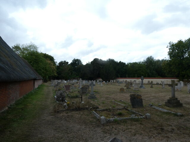
The plantation also has a rich cultural heritage, with archaeological evidence suggesting human activity in the area dating back to the Neolithic period. The remains of ancient settlements and burial sites have been discovered within the woodland, adding an extra layer of historical significance to the site.
Fullamoor Plantation is managed sustainably, with conservation efforts aimed at preserving the natural beauty and biodiversity of the area. It serves as an important habitat for a variety of bird species, including buzzards, woodpeckers, and owls.
Overall, Fullamoor Plantation in Oxfordshire is a wonderful destination for those seeking solace in nature, offering a perfect blend of history, wildlife, and breathtaking scenery.
If you have any feedback on the listing, please let us know in the comments section below.
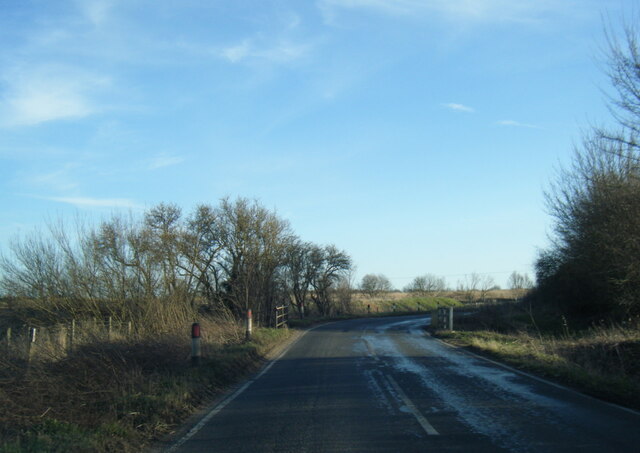
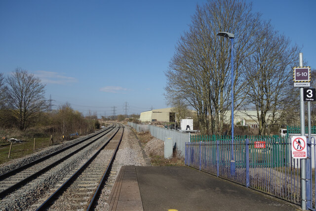
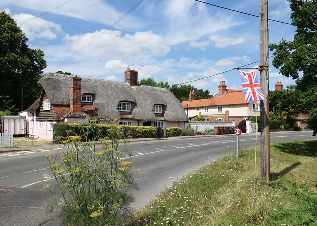
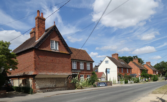
Fullamoor Plantation Images
Images are sourced within 2km of 51.645697/-1.23334 or Grid Reference SU5394. Thanks to Geograph Open Source API. All images are credited.


Fullamoor Plantation is located at Grid Ref: SU5394 (Lat: 51.645697, Lng: -1.23334)
Administrative County: Oxfordshire
District: South Oxfordshire
Police Authority: Thames Valley
What 3 Words
///tomato.suspect.spooked. Near Sutton Courtenay, Oxfordshire
Nearby Locations
Related Wikis

Appleford Railway Bridge
Appleford Railway Bridge carries the Cherwell Valley Line from Didcot to Oxford across the River Thames near the village of Appleford-on-Thames, Oxfordshire...

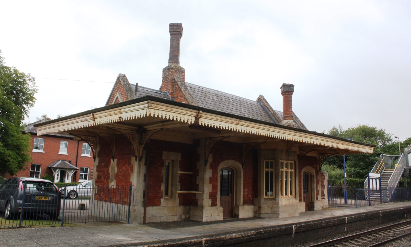
Appleford railway station
Appleford railway station serves the village of Appleford-on-Thames in Oxfordshire, England, as well as nearby settlements such as Sutton Courtenay. It...

Appleford-on-Thames
Appleford-on-Thames is a village and civil parish on the south bank of the River Thames about 2 miles (3 km) north of Didcot, in the Vale of White Horse...
Culham railway station
Culham railway station serves the village of Culham in Oxfordshire, England. It is on the Cherwell Valley Line between Didcot Parkway and Banbury, 56 miles...

Reaction Engines
Reaction Engines Limited is a British aerospace manufacturer based in Oxfordshire, England. == History and personnel == In 1989 (1989), Reaction Engines...
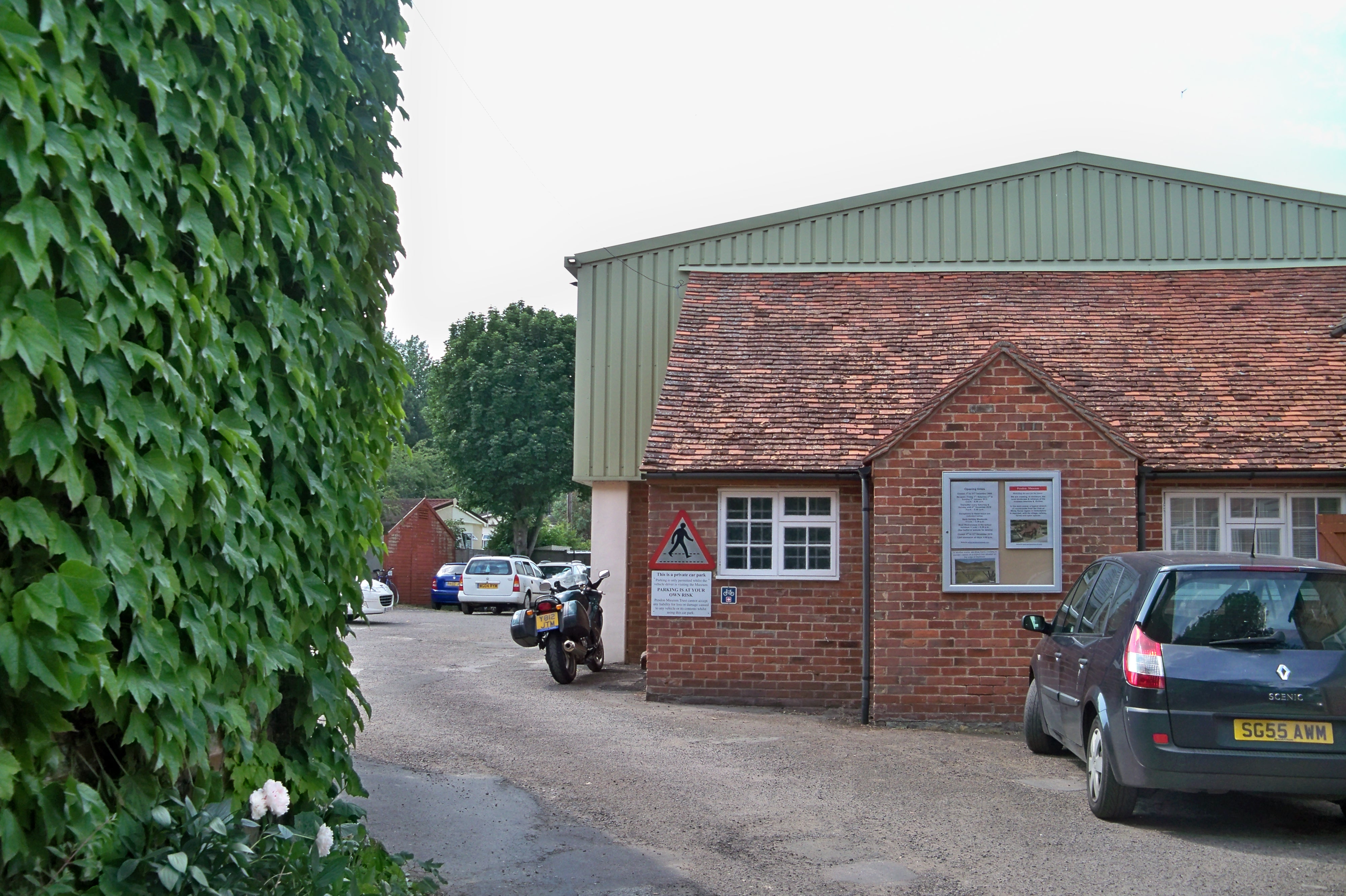
Pendon Museum
Pendon Museum, located in Long Wittenham near Didcot, Oxfordshire, England, is a museum that displays scale models, in particular a large scene representing...
RNAS Culham (HMS Hornbill)
Royal Naval Air Station Culham (RNAS Culham, also known as HMS Hornbill) was a former Royal Navy, Fleet Air Arm station near Culham, Oxfordshire. It opened...

Culham Centre for Fusion Energy
The Culham Centre for Fusion Energy (CCFE) is the UK's national laboratory for fusion research. It is located at the Culham Science Centre, near Culham...
Have you been to Fullamoor Plantation?
Leave your review of Fullamoor Plantation below (or comments, questions and feedback).