Chaplin's Rough
Wood, Forest in Leicestershire Charnwood
England
Chaplin's Rough
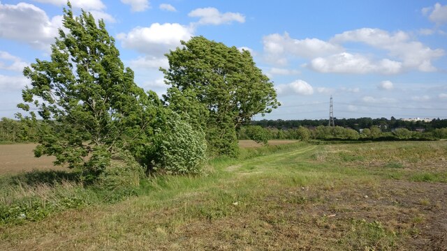
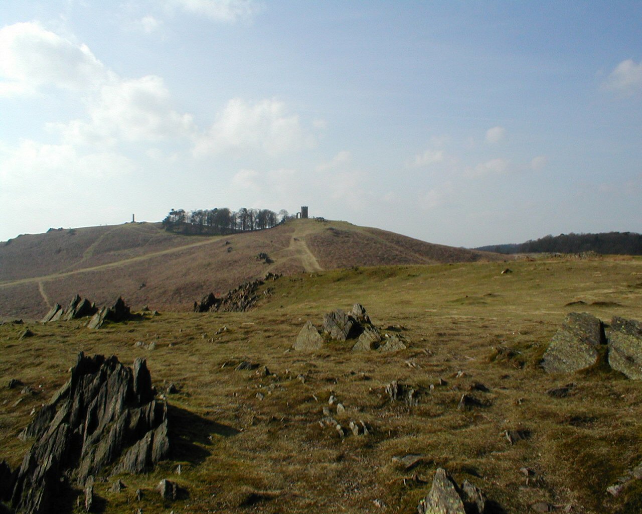
Chaplin's Rough, located in Leicestershire, England, is a picturesque woodland area that offers visitors a serene and natural environment. Covering a vast area, this forested land is a popular destination for outdoor enthusiasts and nature lovers alike.
The woodland is characterized by an abundance of various tree species, creating a diverse and vibrant ecosystem. Visitors can expect to encounter towering oak, beech, and ash trees, among others, providing shade and shelter for the local wildlife. The forest floor is covered in a lush carpet of ferns, mosses, and wildflowers, adding to the overall beauty of the landscape.
Chaplin's Rough is intersected by several walking trails, allowing visitors to explore the area at their own pace. These well-maintained paths wind through the forest, leading to hidden glades, tranquil ponds, and picturesque viewpoints. Along the way, wildlife enthusiasts may spot a variety of animals, including deer, foxes, and a wide array of bird species.
The forest is also home to a rich variety of plant life, making it an excellent spot for botany enthusiasts. Rare orchids, bluebells, and other wildflowers can be found scattered throughout the woodland, providing a burst of color during the spring and summer months.
Chaplin's Rough is not only a haven for wildlife and nature lovers, but also provides an opportunity for outdoor activities such as hiking, picnicking, and photography. With its natural beauty and peaceful atmosphere, this Leicestershire woodland is a must-visit destination for those seeking a connection with nature.
If you have any feedback on the listing, please let us know in the comments section below.
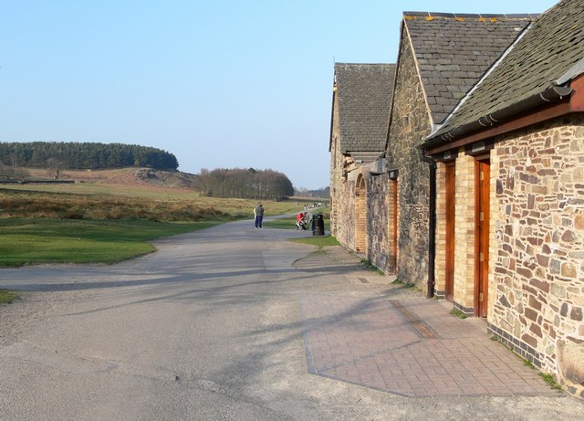
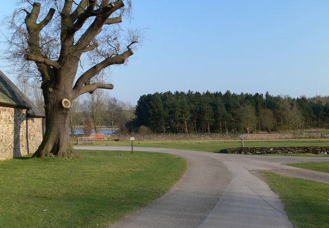
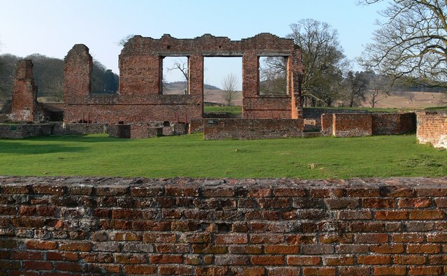
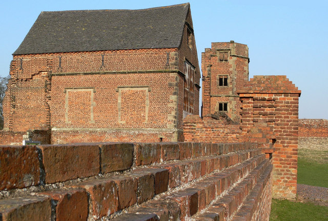
Chaplin's Rough Images
Images are sourced within 2km of 52.678201/-1.2169041 or Grid Reference SK5309. Thanks to Geograph Open Source API. All images are credited.


Chaplin's Rough is located at Grid Ref: SK5309 (Lat: 52.678201, Lng: -1.2169041)
Administrative County: Leicestershire
District: Charnwood
Police Authority: Leicestershire
What 3 Words
///palace.crab.grows. Near Anstey, Leicestershire
Nearby Locations
Related Wikis

Sheet Hedges Wood
Sheet Hedges Wood is in the parish of Newtown Linford, and lies some 1-mile (1.6 km) north of Groby, in Leicestershire, UK. The site is made up of two...

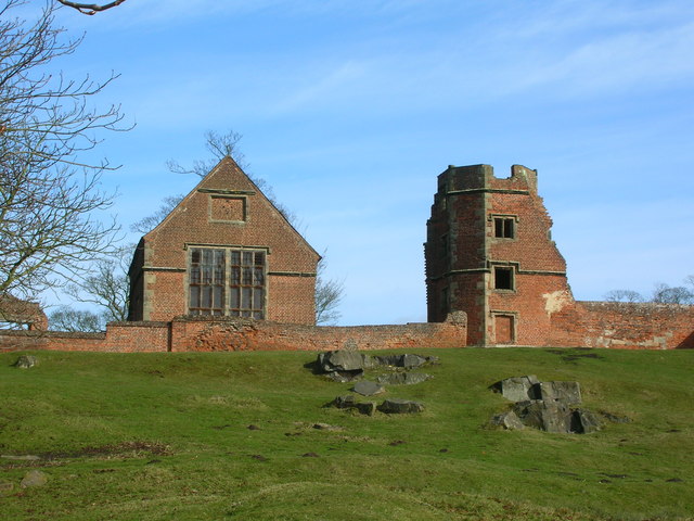
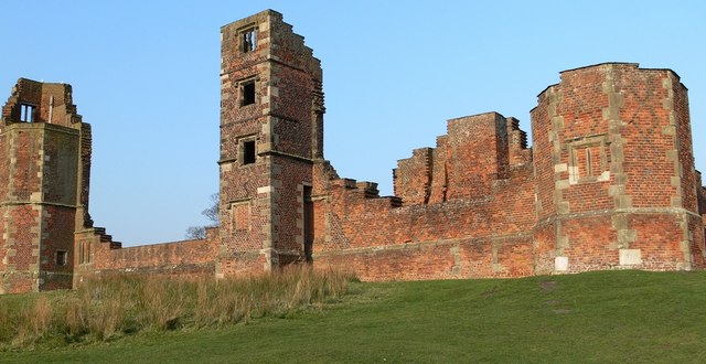
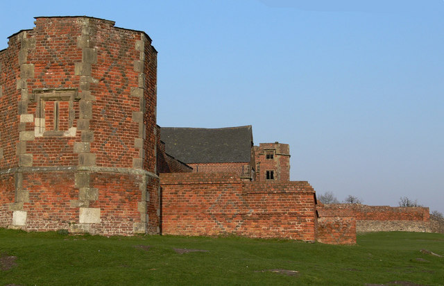
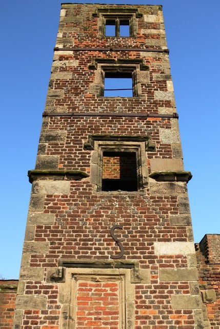
Bradgate House, Bradgate Park
Bradgate House is a 16th-century ruin in Bradgate Park, Leicestershire, England. Edward Grey's son Sir John Grey of Groby married Elizabeth Woodville,...
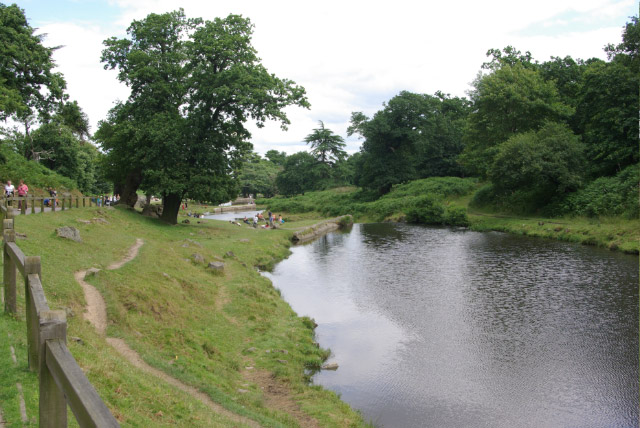
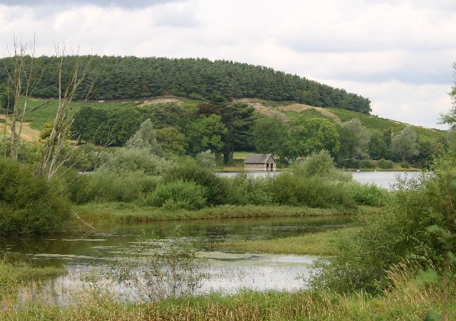
Bradgate Park and Cropston Reservoir
Bradgate Park and Cropston Reservoir is a 399.7-hectare (988-acre) geological Site of Special Scientific Interest north–west of Leicester. It is also a...

Groby Pool and Woods
Groby Pool and Woods is a 29 hectare biological Site of Special Scientific Interest north of Groby in Leicestershire.Groby Pool is the largest natural...
Bradgate Park
Bradgate Park () is a public park in Charnwood Forest, in Leicestershire, England, northwest of Leicester. It covers 850 acres (340 hectares). The park...
Newtown Linford
Newtown Linford is a linear village in Leicestershire, England. The population of the civil parish was 1,000 at the 2001 census, including Ulverscroft...

Anstey, Leicestershire
Anstey is a large village in Leicestershire, England, located north west of Leicester in the borough of Charnwood. Its population was 6,528 at the 2011...

Groby Castle
Groby Castle is situated in the large village of Groby to the north-west of the city of Leicester, England. == History == After the Norman Conquest, the...
Nearby Amenities
Located within 500m of 52.678201,-1.2169041Have you been to Chaplin's Rough?
Leave your review of Chaplin's Rough below (or comments, questions and feedback).