Drymen

Settlement in Stirlingshire

Scotland

Drymen

Minor road near Drymen
Minor road near Drymen Credit: Steven Brown

The requested URL returned error: 429 Too Many Requests

If you have any feedback on the listing, please let us know in the comments section below.
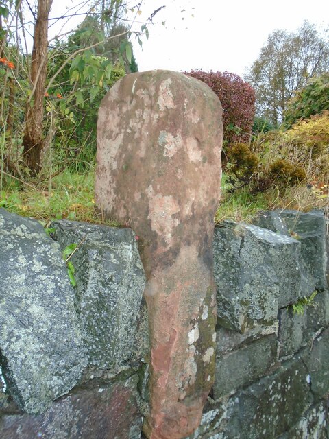
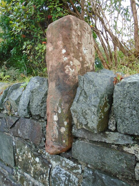
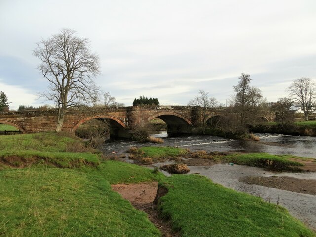
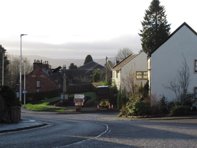
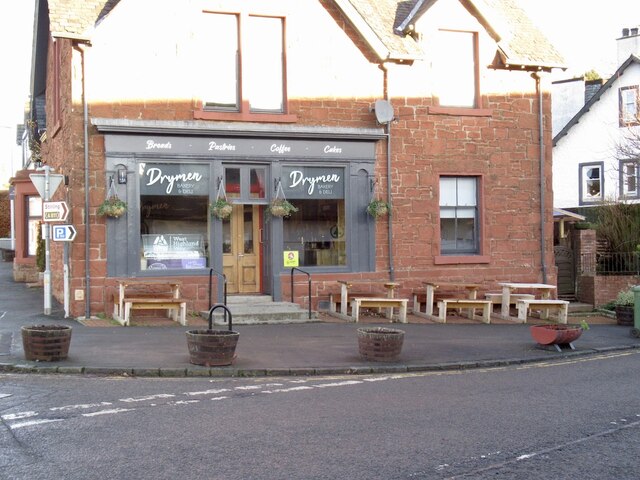
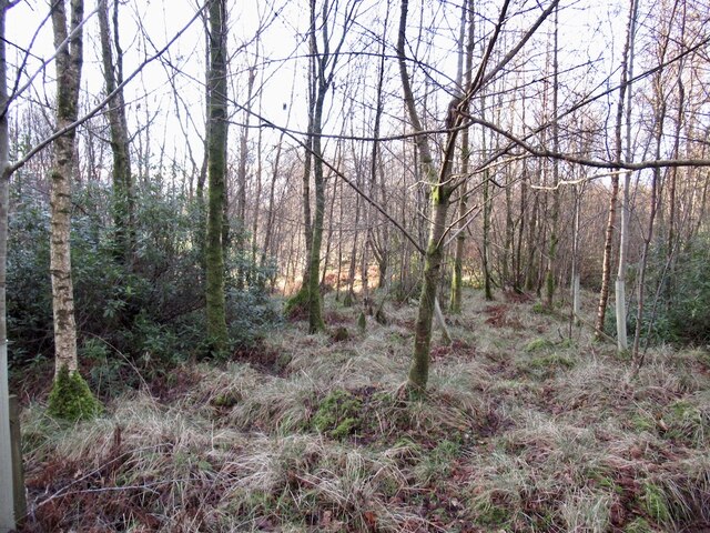
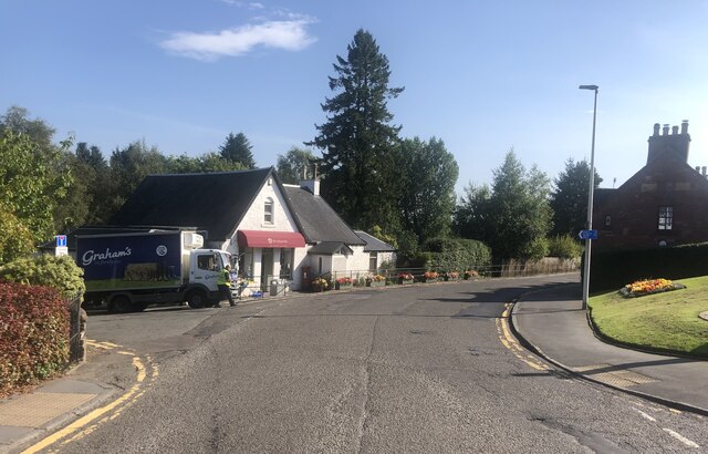
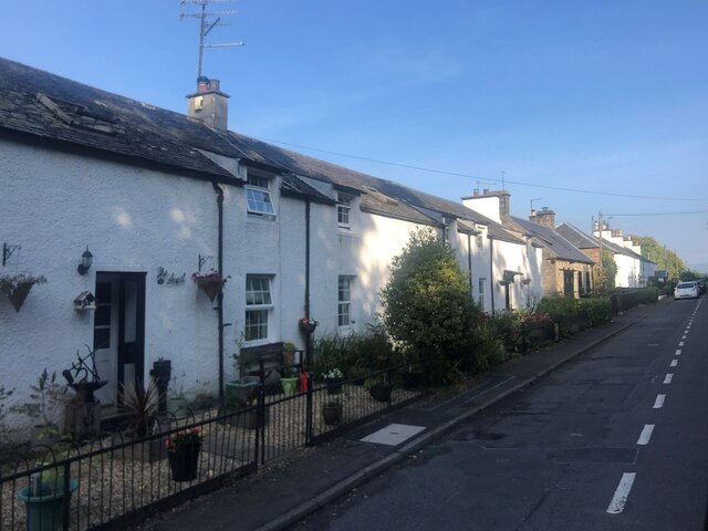
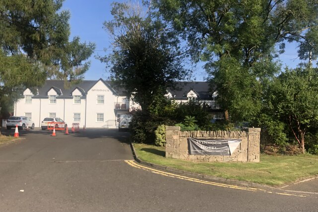
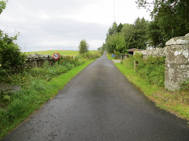
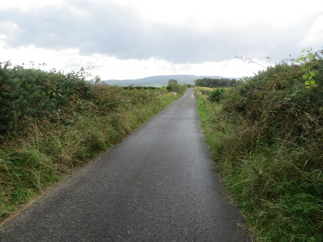
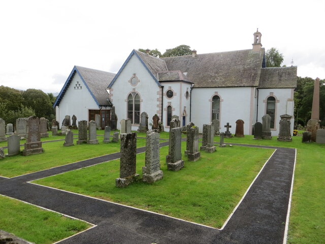
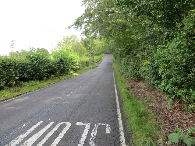
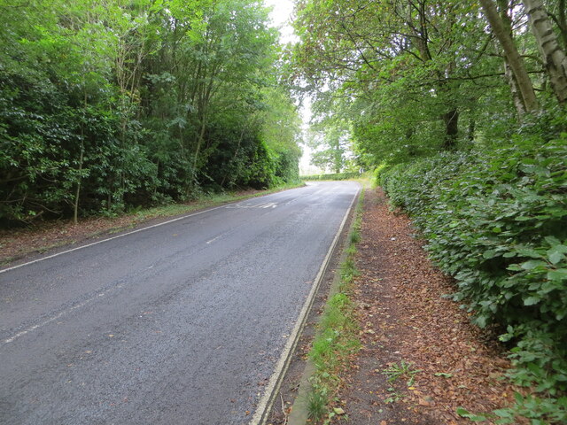
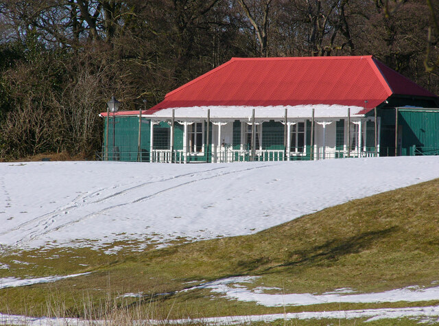
Drymen Images

Images are sourced within 2km of 56.065279/-4.452305 or Grid Reference NS4788. Thanks to Geograph Open Source API. All images are credited.

Minor road near Drymen
Old milestone This shows the left side of the red sandstone milestone in the wall opposite the Buchanan Arms in Drymen.  A very worn 22 can just be made out which is the mileage to Stirling.  It is marked on the 1776 Taylor & Skinner map 1776 and is on the route of the Old Military Road built by Major William Caufeild 1765-97
Old milestone
This shows the left side of the red sandstone milestone in the wall opposite the Buchanan Arms in Drymen. A very worn 22 can just be made out which is the mileage to Stirling. It is marked on the 1776 Taylor & Skinner map 1776 and is on the route of the Old Military Road built by Major William Caufeild 1765-97
Old milestone This shows the right face of the red sandstone milestone in the wall opposite the Buchanan Arms in Drymen. A faint 12 can be made out which is the distance to Dumbarton.  There is a similar stone on the A811 in West Dunbartonshire at <a href="https://www.geograph.org.uk/gridref/NS+4148+8525">NS 4148 8525</a>.
Old milestone
This shows the right face of the red sandstone milestone in the wall opposite the Buchanan Arms in Drymen. A faint 12 can be made out which is the distance to Dumbarton. There is a similar stone on the A811 in West Dunbartonshire at NS 4148 8525.
Drymen Bridge over Endrick Water
Drumbeg trig pillar hiding amongst the gorse
Drymen View south towards the Balmaha turning where there is a big variable message sign with a couple of the usual parkspeak hectoring messages referring to parking responsibly and generally not trashing the place.
Drymen
View south towards the Balmaha turning where there is a big variable message sign with a couple of the usual parkspeak hectoring messages referring to parking responsibly and generally not trashing the place.
Cafe, Drymen Once a bike shop.
Cafe, Drymen
Once a bike shop.
Birchwood, Doghouse Glen
The Village Hub, Drymen Village shop selling local produce and zero-waste products
The Village Hub, Drymen
Village shop selling local produce and zero-waste products
A row of terraced cottages Between Drymen and Milton of Buchanan
A row of terraced cottages
Between Drymen and Milton of Buchanan
The Winnock Hotel, Drymen
Track giving access to Coldrach Looking north-westward.
Track giving access to Coldrach
Looking north-westward.
Gartness Road near Gateside House Looking north-westward. This section or road is used by the West Highland Way Path.
Gartness Road near Gateside House
Looking north-westward. This section or road is used by the West Highland Way Path.
Gartness Road at the hedge hidden Dumbeg Triangulation Pillar Looking southward. This section of road is used by the West Highland Way Path.
Gartness Road at the hedge hidden Dumbeg Triangulation Pillar
Looking southward. This section of road is used by the West Highland Way Path.
Drymen Parish Church and part of its Burial Ground Viewed from the north.
Drymen Parish Church and part of its Burial Ground
Viewed from the north.
Road (B837) approaching Buchanan Smithy Looking south-eastward.
Road (B837) approaching Buchanan Smithy
Looking south-eastward.
Road (B837) enclosed by woodland near to Whinnydram Looking north-westward.
Road (B837) enclosed by woodland near to Whinnydram
Looking north-westward.
Strathendrick Golf Club The clubhouse of the 9 hole Strathendrick Golf Club. It is a grade C listed building, erected in 1901 by the Duke of Montrose.
Strathendrick Golf Club
The clubhouse of the 9 hole Strathendrick Golf Club. It is a grade C listed building, erected in 1901 by the Duke of Montrose.
Show me another place!

Drymen is located at Grid Ref: NS4788 (Lat: 56.065279, Lng: -4.452305)

Unitary Authority: Stirling

Police Authority: Forth Valley

What 3 Words

///clenching.speedily.odds. Near Killearn, Stirling

Nearby Locations

Drymen

Related Wikis

Drymen

Drymen (; from Scottish Gaelic: Druiminn [ˈt̪ɾɯmɪɲ]) is a village in the Stirling district of central Scotland. Once a popular stopping place for cattle...

Buchanan Castle

Buchanan Castle is a ruined castle in Stirlingshire, Scotland, located 1 mile (1.6 km) west of the village of Drymen. The house was commissioned by The...

Buchanan Smithy

Buchanan Smithy is a hamlet in Buchanan in the far west of Stirling, Scotland. The current settlement was mostly purpose-built in the 18th century for...

Drumquhassle

Drumquhassle was a Roman fort associated with the Gask Ridge in Scotland. It was found from aerial photography in the late 1970s. The name selected for...

Nearby Amenities

Located within 500m of 56.065279,-4.452305
Drymen
Is In: Stirling, Scotland, UK
Name En: Drymen
Name Gd: Druiminn
Name Sco: Drimmen
Place: village
Population: 830
Wikidata: Q1009428
Wikipedia: en:Drymen
Lat/Long: 56.0655347/-4.4520006
Direction: 280
Tourism: viewpoint
Lat/Long: 56.0636988/-4.4551627
Library
Drymen Library
Wikidata: Q57305718
Lat/Long: 56.0653433/-4.4531024
Toilets
Access: customers
Lat/Long: 56.0653646/-4.4532813
Post Box
Check Date Collection Times: 2022-11-02
Collection Times: Mo-Fr 16:45; Sa 12:15
Operator: Royal Mail
Post Box Type: pillar
Postal Code: G63
Ref: G63 792
Royal Cypher: scottish_crown
Lat/Long: 56.0650507/-4.451928
Post Box
Brand: Royal Mail
Brand Wikidata: Q638098
Collection Times: Mo-Sa 12:30
Operator: Royal Mail
Operator Wikidata: Q638098
Post Box Type: pillar
Postal Code: G63
Ref: G63 1389
Royal Cypher: scottish_crown
Lat/Long: 56.0676758/-4.4517309
Pub
The Clachan Inn
Addr City: Drymen
Addr Housenumber: 2
Addr Postcode: G63 0BG
Addr Street: Main Street
Bar: yes
Contact Email: info@clachaninndrymen.co.uk
Contact Phone: +44 1360 660824
Contact Website: http://www.clachaninndrymen.co.uk/
Food: yes
Restaurant: yes
Rooms: 4
Smoking: no
Tourism: hotel
Lat/Long: 56.066093/-4.452505
Crossing
Crossing: unmarked
Crossing Island: no
Tactile Paving: no
Lat/Long: 56.0654776/-4.445212
Historic: memorial
Memorial: war_memorial
Lat/Long: 56.0651144/-4.4522882
Spar
Brand: Spar
Brand Wikidata: Q610492
Brand Wikipedia: en:Spar (retailer)
Operator: Spar
Shop: convenience
Website: https://www.spar.co.uk/store-locator/lan04576-spar-drymen/
Lat/Long: 56.0657739/-4.4519827
Parking
Parking: surface
Lat/Long: 56.0631735/-4.4520492
Parking
Access: customers
Parking: surface
Lat/Long: 56.0639435/-4.4518149
Atm
Check Date: 2022-06-19
Lat/Long: 56.0657701/-4.4521171
Ashbank
Tourism: guest_house
Lat/Long: 56.0665898/-4.4526768
Restaurant
Winnock Hotel
Addr City: Drymen
Addr Postcode: G63 0BG
Addr Street: The Square
Phone: +44 1360 660245
Stars: 3
Tourism: hotel
Website: https://www.winnockhotel.com/
Lat/Long: 56.065777/-4.4530742
Peloton
Shop: bicycle
Lat/Long: 56.0659765/-4.4521742
Butcher
Shop: butcher
Lat/Long: 56.0653197/-4.4527994
Restaurant
The Drymen Inn
Tourism: hotel
Lat/Long: 56.0660964/-4.4518147
Elmbank Self Catering B&B
Addr Housenumber: 10
Addr Street: Stirling Road
Email: info@elmbank-drymen.co.uk
Operator: Caroline Fraser
Phone: +44 7977756226
Tourism: hotel
Website: http://elmbank-drymen.com/
Lat/Long: 56.0658924/-4.4516497
Cafe
Skoosh
Addr Housenumber: 50
Addr Street: Main Street
Cuisine: regional
Internet Access: wlan
Outdoor Seating: yes
Phone: +44 1360 661212
Takeaway: yes
Lat/Long: 56.0642157/-4.4520709
Noexit: yes
Lat/Long: 56.0684234/-4.4504587
Bus Stop
The Square
Bench: yes
Bin: yes
Lit: yes
Shelter: yes
Tactile Paving: no
Lat/Long: 56.0657592/-4.4526118
Bus Stop
Drymen
Shelter: yes
Lat/Long: 56.0651682/-4.4534365
Restaurant
Lat/Long: 56.0655475/-4.4530652
Addr Housenumber: 1
Addr Postcode: G63 0BH
Addr Street: Gartness Road
Lat/Long: 56.0653142/-4.4520889
The Hawthorns
Addr Housenumber: 1
Addr Postcode: G63 0BH
Addr Street: Gartness Road
Guest House: bed_and_breakfast
Tourism: guest_house
Lat/Long: 56.0653692/-4.4521076
Pharmacy
Davidsons Chemists
Addr City: Drymen
Dispensing: yes
Healthcare: pharmacy
Opening Hours: Mo-Fr 09:00-18:00; Sa 09:00-13:00
Lat/Long: 56.0644086/-4.4520727
Moon
Shop: boutique
Lat/Long: 56.064351/-4.452074
Addr Housenumber: 50
Addr Street: Main Street
Lat/Long: 56.0642323/-4.4520378
Bus Stop
Shelter: no
Lat/Long: 56.065256/-4.4534927
Drymen Bakery
Shop: bakery
Lat/Long: 56.0660018/-4.4521714
Power: pole
Lat/Long: 56.0651008/-4.4593159
Power: pole
Lat/Long: 56.0650997/-4.4581738
Power: pole
Lat/Long: 56.0651137/-4.4569229
Power: pole
Lat/Long: 56.0651195/-4.4557578
Power: pole
Lat/Long: 56.0659474/-4.4568623
Power: pole
Lat/Long: 56.0668209/-4.4568225
Power: pole
Lat/Long: 56.0642227/-4.448261
Power: pole
Lat/Long: 56.0639133/-4.4471231
Power: pole
Lat/Long: 56.0635069/-4.445684
Power: pole
Lat/Long: 56.0630117/-4.4459204
Power: pole
Lat/Long: 56.0623228/-4.4462279
Drinking Water
Top Up Tap
Access: yes
Bottle: yes
Fee: no
Man Made: water_tap
Operator: Scottish Water
Operator Wikidata: Q7438022
Lat/Long: 56.0657585/-4.4526302
Bicycle Parking
Access: yes
Bicycle Parking: stands
Covered: no
Fee: no
Lat/Long: 56.0658816/-4.452211
Bicycle Parking
Access: yes
Covered: no
Fee: no
Lat/Long: 56.0664992/-4.4523156
Defibrillator
Emergency: defibrillator
Indoor: no
Lat/Long: 56.0650969/-4.4519281
Bench
Lat/Long: 56.0657775/-4.4526123
Bench
Lat/Long: 56.065821/-4.4525832
Bench
Lat/Long: 56.0658471/-4.4525542
Bench
Lat/Long: 56.0657498/-4.4528632
Bench
Lat/Long: 56.0656671/-4.4528597
Bench
Lat/Long: 56.0655982/-4.4528341
Bench
Lat/Long: 56.065876/-4.4528129
Bench
Lat/Long: 56.0659187/-4.4527278
Pub
Lat/Long: 56.0660931/-4.4525408
The data included in this document is from www.openstreetmap.org. The data is made available under ODbL.

Have you been to Drymen?

Leave your review of Drymen below (or comments, questions and feedback).