Park Copse

Wood, Forest in Hampshire Basingstoke and Deane

England

Park Copse

Outside The Vine Inn
Outside The Vine Inn Credit: Mr Ignavy

Park Copse is a picturesque woodland located in Hampshire, England. Situated near the village of Liphook, the copse covers an area of approximately 50 acres and is known for its natural beauty and diverse wildlife.

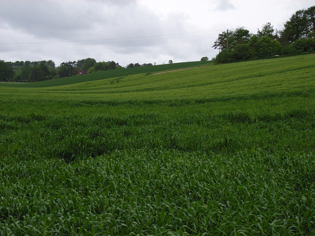
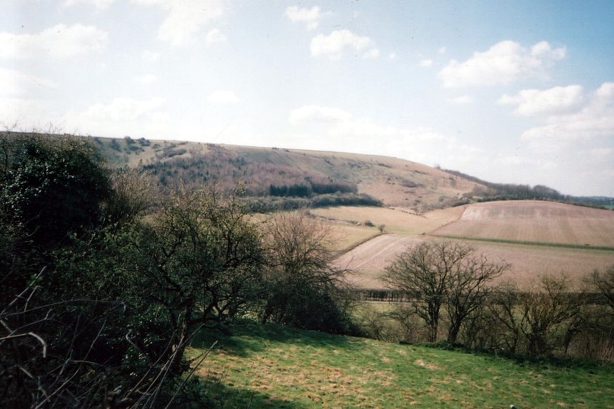
The woodland is primarily composed of broadleaf trees, including oak, beech, and ash, which create a dense canopy that provides shade and shelter for various species of flora and fauna. The forest floor is covered with a rich carpet of wildflowers, ferns, and mosses, adding to the enchanting atmosphere of the copse.

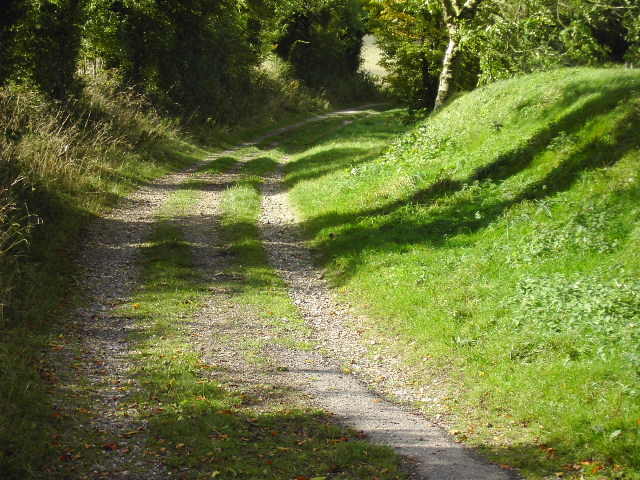
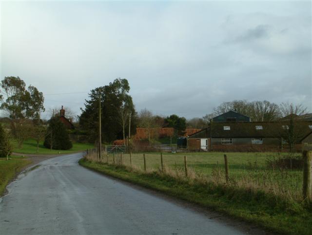
Park Copse offers a range of walking trails that wind through its peaceful surroundings, allowing visitors to explore the tranquil woodland at their leisure. These trails provide opportunities for nature enthusiasts to observe the copse's abundant wildlife, including deer, foxes, badgers, and a variety of bird species.

The copse also features a small stream that meanders through its heart, providing a soothing soundtrack of flowing water and adding to the overall charm of the woodland. This stream acts as a water source for the copse's inhabitants, attracting an array of aquatic creatures such as frogs, newts, and dragonflies.

Throughout the year, Park Copse hosts numerous events and activities that celebrate its natural wonders. These include guided nature walks, birdwatching sessions, and educational programs for children, fostering an appreciation for the copse's biodiversity and promoting environmental conservation.

In summary, Park Copse in Hampshire is a captivating woodland retreat that showcases the beauty of nature. With its diverse range of trees, abundant wildlife, and peaceful ambiance, it offers an escape from the hustle and bustle of everyday life and provides a haven for outdoor enthusiasts and nature lovers alike.

If you have any feedback on the listing, please let us know in the comments section below.
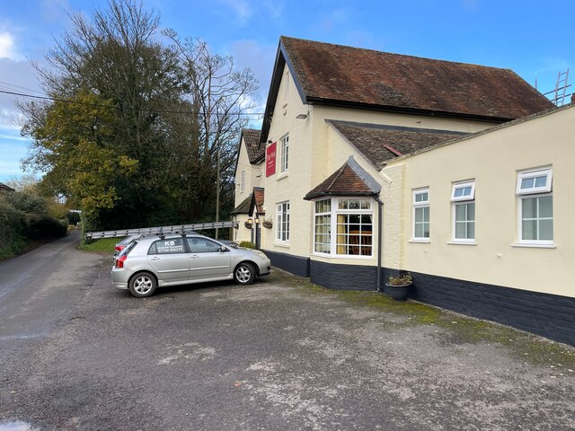
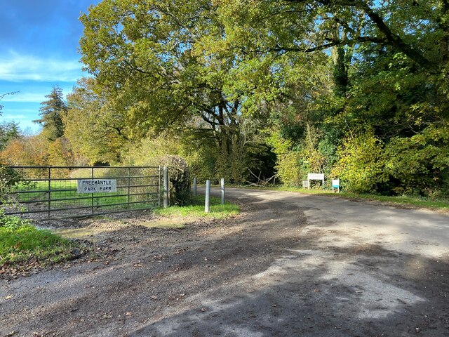
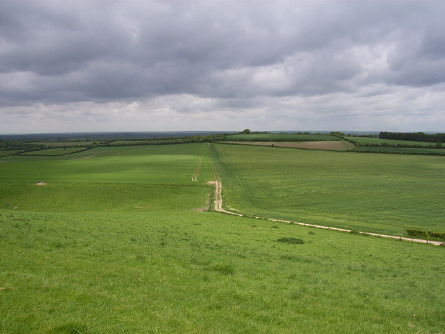
Park Copse Images

Images are sourced within 2km of 51.301056/-1.241948 or Grid Reference SU5256. Thanks to Geograph Open Source API. All images are credited.

Outside The Vine Inn
Field gate - Freemantle Park Farm The lane curves to the right, a footpath follows the track in the centre.
Field gate - Freemantle Park Farm
The lane curves to the right, a footpath follows the track in the centre.
Park House Stables near Kingsclere These stables are about a mile due south of Kingsclere just off the B3051
Park House Stables near Kingsclere
These stables are about a mile due south of Kingsclere just off the B3051
White Hill beauty spot This is a very scenic beauty spot with parking spaces and magnificent views across the Hampshire countryside. This picture was taken from the main road and looks north westerly towards Cannon Heath Down.
White Hill beauty spot
This is a very scenic beauty spot with parking spaces and magnificent views across the Hampshire countryside. This picture was taken from the main road and looks north westerly towards Cannon Heath Down.
Wayfarers Walk at White Hill This gate is where the Wayfarers Walk joins the B3051 at the White Hill beauty spot, the path goes in a westerly direction to Watership Down about a mile away, the area made famous by Richard Adams with his book about the local rabbits.
Wayfarers Walk at White Hill
This gate is where the Wayfarers Walk joins the B3051 at the White Hill beauty spot, the path goes in a westerly direction to Watership Down about a mile away, the area made famous by Richard Adams with his book about the local rabbits.
Crops near Hannington This picture was taken from the old Roman road The Portway near the bottom of the square. It is looking north easterly and in the distance can just be seen the radio and television transmission mast at Hannington (SU5256).
Crops near Hannington
This picture was taken from the old Roman road The Portway near the bottom of the square. It is looking north easterly and in the distance can just be seen the radio and television transmission mast at Hannington (SU5256).
Sheep at Walkeridge Farm The picture was taken at the crossroads near the centre of the square and looks south towards Meadow Cottage.
Sheep at Walkeridge Farm
The picture was taken at the crossroads near the centre of the square and looks south towards Meadow Cottage.
Hannington Village Green A picture of the shelter on the very picturesque Hannington Village Green
Hannington Village Green
A picture of the shelter on the very picturesque Hannington Village Green
Hannington Church This church is over 1000 years old and is next to the very picturesque village green in Hannington.
Hannington Church
This church is over 1000 years old and is next to the very picturesque village green in Hannington.
The Vine at Hannington The local pub looking in desperate need of a new coat of paint!
The Vine at Hannington
The local pub looking in desperate need of a new coat of paint!
Pylons At this point the pylons run directly in line with the road
Pylons
At this point the pylons run directly in line with the road
Entrance to Bridleway This is the entrance to the bridleway starting at approx 543573 and is looking north westerly
Entrance to Bridleway
This is the entrance to the bridleway starting at approx 543573 and is looking north westerly
Cottington's Hill from White Hill. South of Kingsclere.
Cottington's Hill from White Hill.
South of Kingsclere.
Field Barn Farm The track is the public footpath from Kingsclere onto Watership Down.
Field Barn Farm
The track is the public footpath from Kingsclere onto Watership Down.
Hannington Transmitter Cottington's Hill from the top of the steep wooded slope of Freemantle Park Down.
Hannington Transmitter
Cottington's Hill from the top of the steep wooded slope of Freemantle Park Down.
Downs above Kingsclere The track is the Hannington to Kingsclere bridleway.
Downs above Kingsclere
The track is the Hannington to Kingsclere bridleway.
Farmland near Hannington Looking up a dry valley towards Freemantle Park.
Farmland near Hannington
Looking up a dry valley towards Freemantle Park.
Tidgrove Warren This rather grand house seems to have just been rebuilt. Looks like the owners are going to have a pond.
Tidgrove Warren
This rather grand house seems to have just been rebuilt. Looks like the owners are going to have a pond.
Show me another place!

Park Copse is located at Grid Ref: SU5256 (Lat: 51.301056, Lng: -1.241948)

Administrative County: Hampshire

District: Basingstoke and Deane

Police Authority: Hampshire

What 3 Words

///meals.unwound.luggage. Near Kingsclere, Hampshire

Related Wikis

Hannington transmitting station

Hannington transmitting station is a television and radio transmitting station located on Cottington Hill near the village of Hannington, Hampshire. The...

Hannington, Hampshire

Hannington is a civil parish in the English county of Hampshire. It is situated between Basingstoke and Newbury, on the North Hampshire Downs in the North...

North Oakley

North Oakley is a hamlet in the civil parish of Hannington in the Basingstoke and Deane district of Hampshire, England. Its nearest town is Tadley, which...

Kingsclere and Whitchurch Rural District

Kingsclere and Whitchurch Rural District was a rural district between 1932 and 1974 in Hampshire, England. The district was formed as a merger of the abolished...

Kingsclere

Kingsclere is a large village and civil parish in Hampshire, England. == Geography == Kingsclere is approximately equidistant 13 kilometres (8.1 mi) from...

Wolverton Common

Wolverton Common is a hamlet in north Hampshire, England. Its nearest town is Tadley, which lies approximately 2.5 miles (4 km) east from the hamlet....

Watership Down, Hampshire

Watership Down is a hill or a down at Ecchinswell in the civil parish of Ecchinswell, Sydmonton and Bishops Green in the English county of Hampshire, as...

Wolverton, Hampshire

Wolverton is a village in north Hampshire, England. It is within the civil parish of Baughurst, and located approximately 7 miles (11 km) from both Newbury...

Nearby Amenities

Located within 500m of 51.301056,-1.241948
Power: tower
Source: Bing
Lat/Long: 51.2986172/-1.2470131
Power: tower
Source: Bing
Lat/Long: 51.2990998/-1.2426925
Power: tower
Source: Bing
Lat/Long: 51.2996553/-1.2379465
Freemantle Park Farm
Landuse: farm
Note Retag: CS #48756035
Source: OS_OpenData_StreetView
Lat/Long: 51.3035333/-1.2394805
Capacity: 5
Fixme: stub
Operator: Caravan Club CL
Phone: +44 1635 298296
Power Supply: yes
Sanitary Dump Station: yes
Tourism: caravan_site
Lat/Long: 51.3022581/-1.2404676
King Johns Farm
Landuse: farm
Note Retag: CS #48756035
Source: OS_OpenData_StreetView
Lat/Long: 51.304526/-1.2444373
The data included in this document is from www.openstreetmap.org. The data is made available under ODbL.

Have you been to Park Copse?

Leave your review of Park Copse below (or comments, questions and feedback).