High Wood
Wood, Forest in Yorkshire Ryedale
England
High Wood
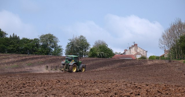
High Wood, Yorkshire is a picturesque forest located in the county of Yorkshire, England. Situated in the heart of the Yorkshire Dales National Park, this woodland area covers a vast expanse of approximately 1,000 acres. High Wood is renowned for its rich biodiversity and stunning natural beauty, attracting nature enthusiasts and hikers from all over the world.
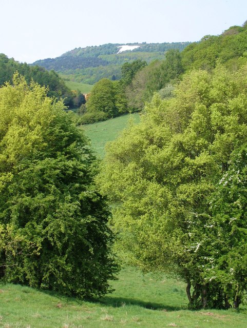
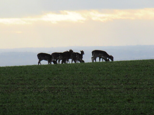
The forest is characterized by its dense canopy of towering trees, dominated by native species such as oak, beech, and birch. The woodland floor is covered with a diverse array of flora, including bluebells, wild garlic, and ferns. This abundance of plant life provides a perfect habitat for a wide variety of wildlife, including deer, foxes, badgers, and numerous bird species.
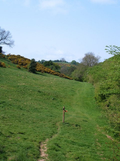
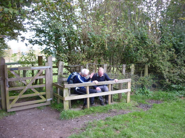
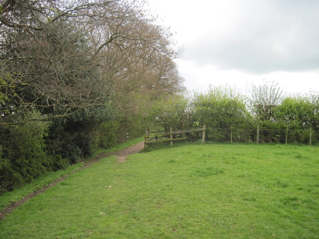
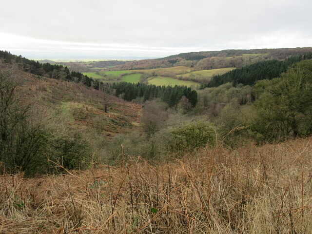
High Wood offers a network of well-maintained trails, making it a popular destination for outdoor activities. The trails wind through the forest, offering visitors the opportunity to explore the woodland and enjoy its tranquil atmosphere. Additionally, there are designated picnic areas and viewpoints that provide stunning vistas of the surrounding countryside.
The forest is also home to a number of historical features, including the remains of an ancient settlement dating back to the Iron Age. These archaeological sites offer a glimpse into the area's rich history and provide an interesting backdrop for visitors to explore.
High Wood, Yorkshire is a true natural gem, offering a peaceful retreat for those seeking solace in nature. Whether it's a leisurely stroll through the woodland or a challenging hike, this forest provides a delightful experience for all who venture into its depths.
If you have any feedback on the listing, please let us know in the comments section below.
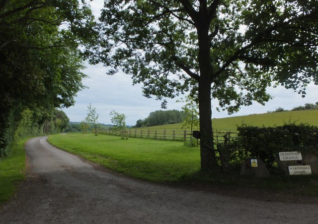
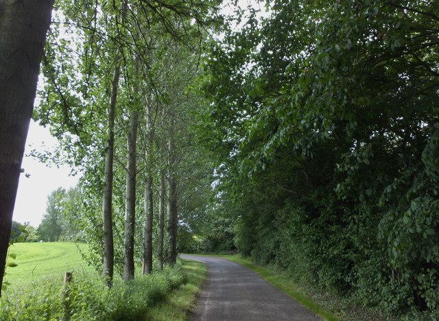
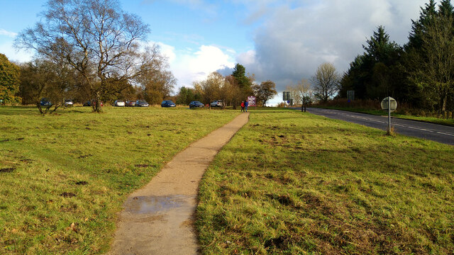
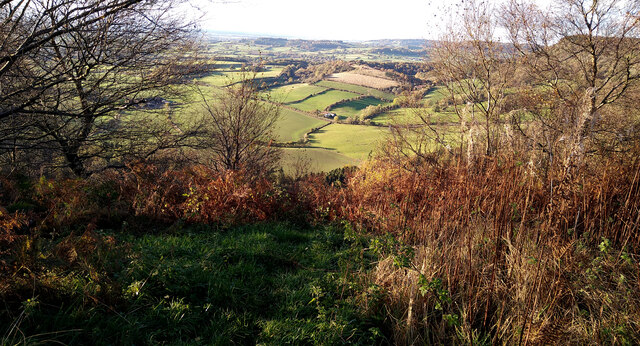
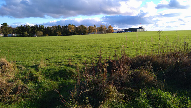
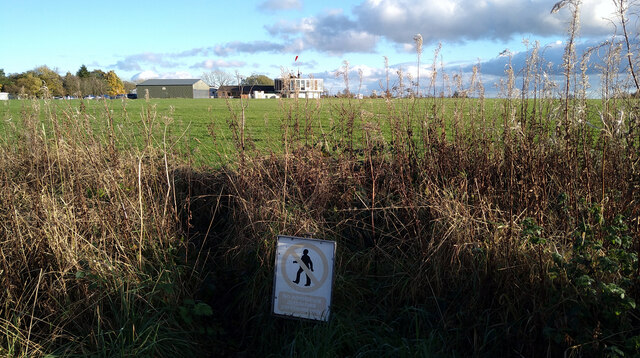
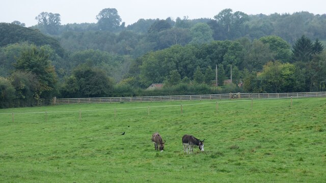
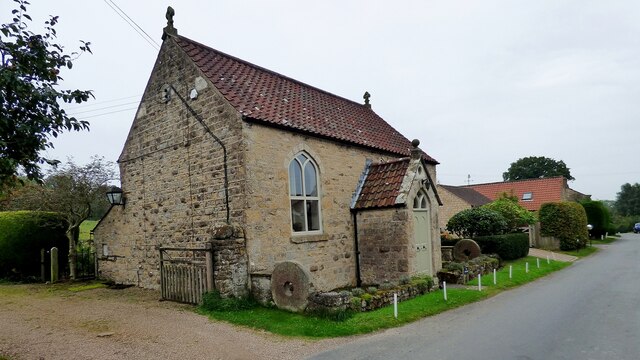
High Wood Images
Images are sourced within 2km of 54.227631/-1.1896901 or Grid Reference SE5281. Thanks to Geograph Open Source API. All images are credited.
High Wood is located at Grid Ref: SE5281 (Lat: 54.227631, Lng: -1.1896901)
Division: North Riding
Administrative County: North Yorkshire
District: Ryedale
Police Authority: North Yorkshire
What 3 Words
///acids.plans.range. Near Helmsley, North Yorkshire
Related Wikis

Yorkshire Gliding Club
The Yorkshire Gliding Club (YGC) operate from an airfield on Sutton Bank in the North York Moors National Park, England. The airfield site is 7 miles...

Stocking Abbey
Stocking Abbey was an abbey in the village of Oldstead, North Yorkshire, England.The abbey at Stocking was built in 1147, originally for Savigniac monks...
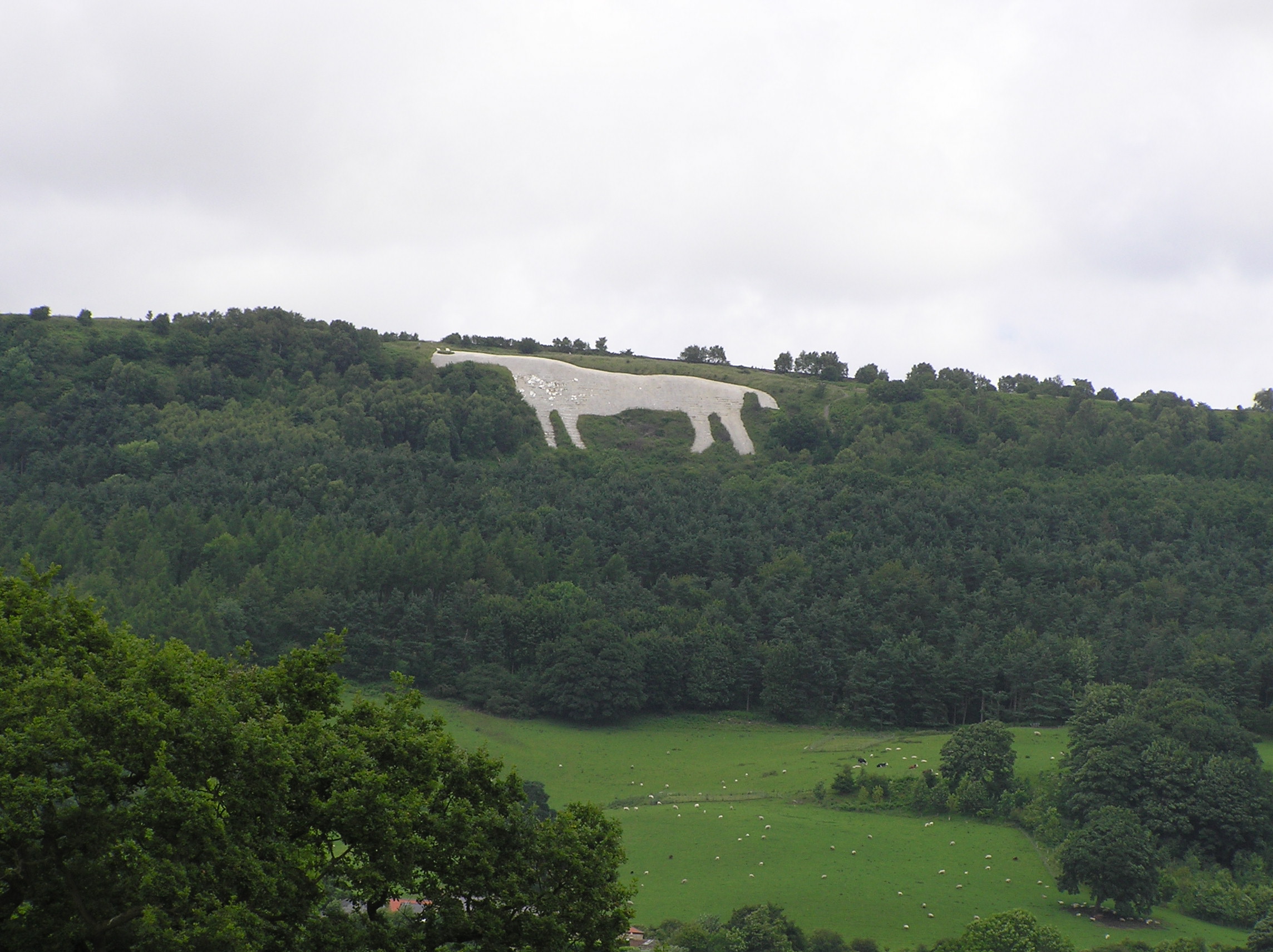
Kilburn White Horse
The Kilburn White Horse, grid reference SE516813, is a hill figure cut into the hillside in the North York Moors National Park near Kilburn in North Yorkshire...

Oldstead
Oldstead is a village and a civil parish in Ryedale district, North Yorkshire, England, within the North York Moors National Park, off the A170 road between...
Hambleton, Ryedale
Hambleton is a hamlet on the A170 road between Thirsk and Pickering in North Yorkshire, England. It lies on the Hambleton Hills 1 mile east of Sutton Bank...

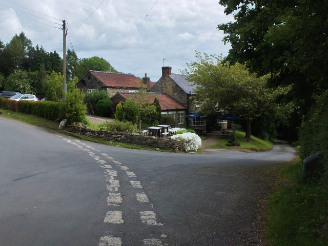
The Black Swan, Oldstead
The Black Swan is a restaurant with rooms at Oldstead, in North Yorkshire, England which provides food, drink and accommodation. Its restaurant, run by...

Battle of Old Byland
The Battle of Old Byland (also known as the Battle of Byland Abbey, the Battle of Byland Moor and the Battle of Scotch Corner) was a significant encounter...

Hambleton Hills
The Hambleton Hills are a range of hills in North Yorkshire, England. They form the western edge of the North York Moors but are separated from the moors...
Nearby Amenities
Located within 500m of 54.227631,-1.1896901Have you been to High Wood?
Leave your review of High Wood below (or comments, questions and feedback).