Cold Harbour Plantation
Wood, Forest in Nottinghamshire Rushcliffe
England
Cold Harbour Plantation
Cold Harbour Plantation is a picturesque woodland located in Nottinghamshire, England. Situated in the heart of the county, the plantation covers an expansive area and is known for its diverse range of flora and fauna. The wood is part of the larger Sherwood Forest, which is famed for its association with the legendary outlaw Robin Hood.
The plantation is characterized by its dense canopy of trees that include oak, beech, and birch, creating a serene and tranquil atmosphere. The woodland floor is covered with a rich carpet of bluebells, wildflowers, and ferns, adding to the beauty and charm of the area. Cold Harbour Plantation is a designated Site of Special Scientific Interest (SSSI) due to its biological importance and the presence of rare species such as the lesser spotted woodpecker and the purple emperor butterfly.
The plantation is a haven for nature enthusiasts and offers numerous walking trails, allowing visitors to explore the natural beauty of the area. The diverse range of wildlife includes deer, foxes, badgers, and a variety of bird species, making it a popular spot for birdwatching.
The history of Cold Harbour Plantation can be traced back to medieval times when it was part of the royal hunting grounds. It has since been managed by the Forestry Commission, ensuring its preservation for future generations to enjoy. The plantation offers a peaceful retreat away from the hustle and bustle of city life, providing a perfect opportunity to reconnect with nature.
If you have any feedback on the listing, please let us know in the comments section below.
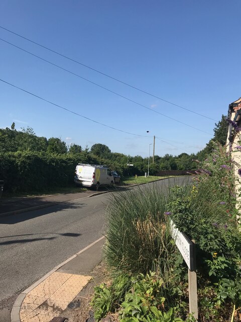
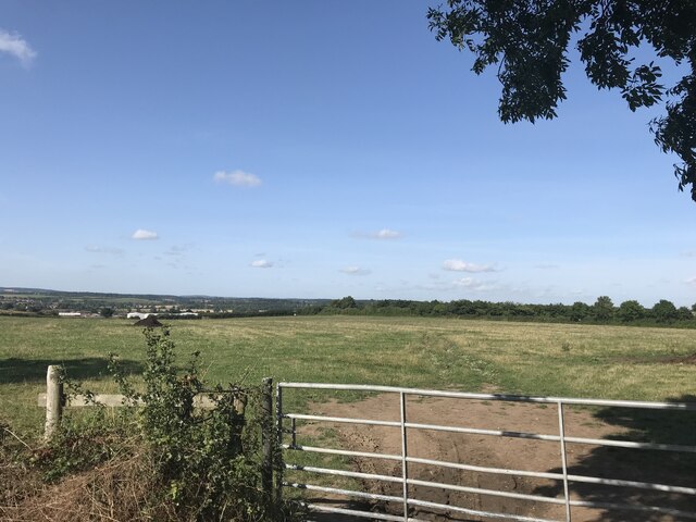
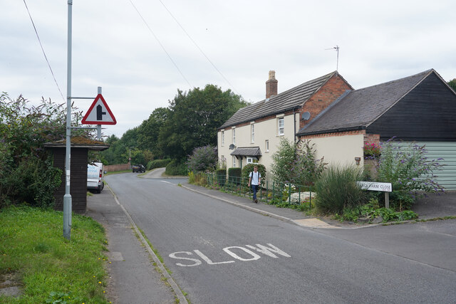
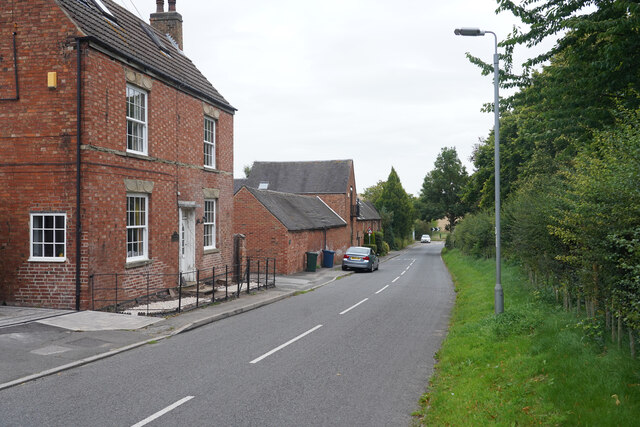
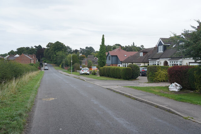
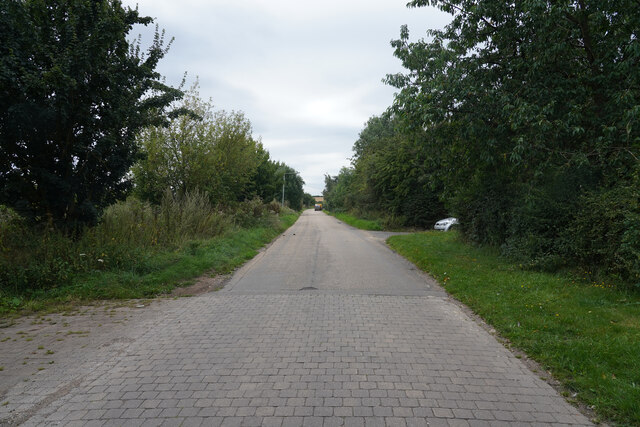
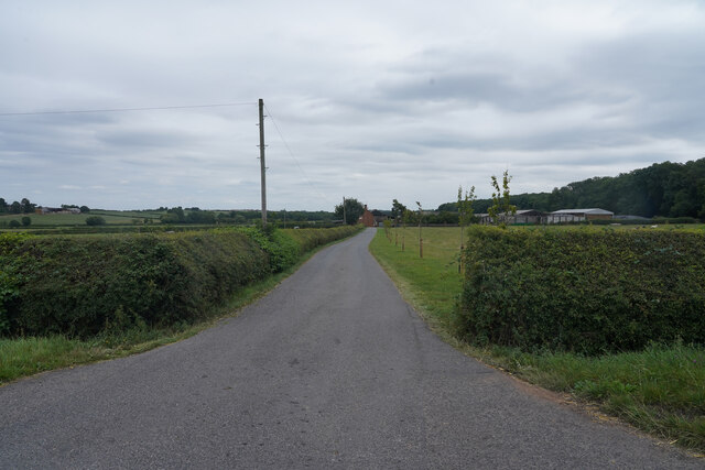
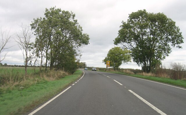
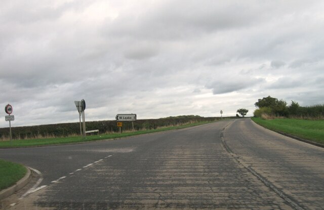
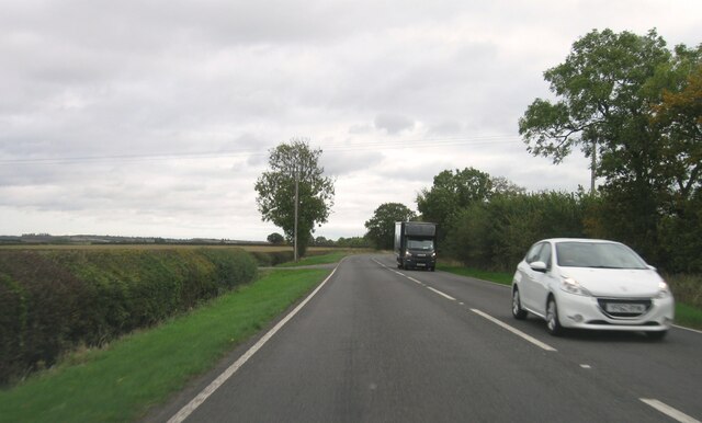
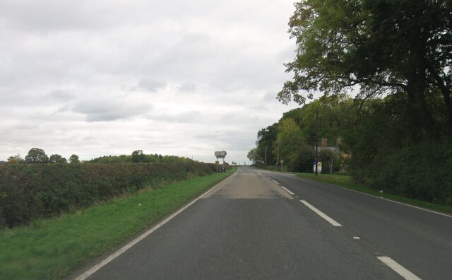
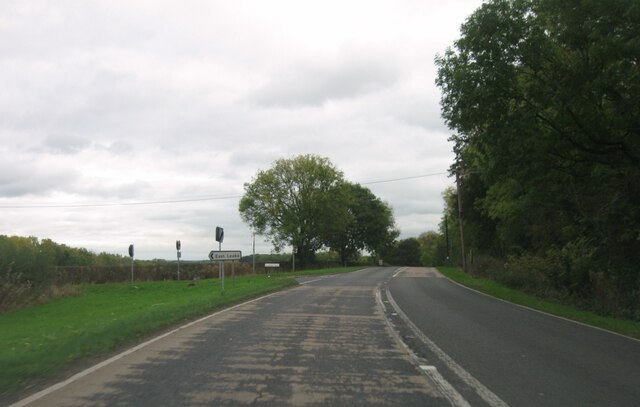
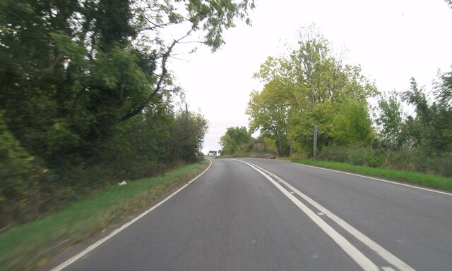
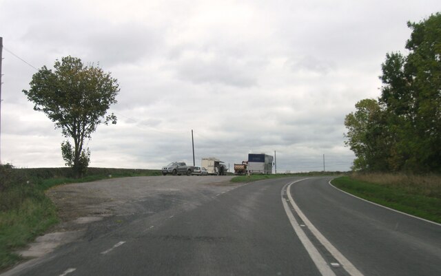
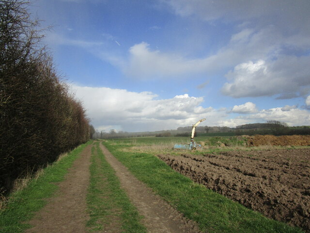
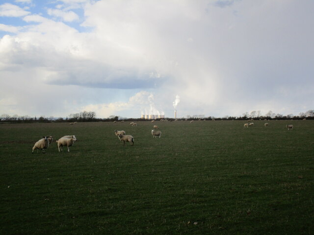
Cold Harbour Plantation Images
Images are sourced within 2km of 52.820937/-1.2164635 or Grid Reference SK5225. Thanks to Geograph Open Source API. All images are credited.


Cold Harbour Plantation is located at Grid Ref: SK5225 (Lat: 52.820937, Lng: -1.2164635)
Administrative County: Nottinghamshire
District: Rushcliffe
Police Authority: Nottinghamshire
What 3 Words
///lush.belt.swarm. Near Sutton Bonington, Nottinghamshire
Nearby Locations
Related Wikis
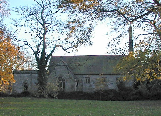
St Helena's Church, West Leake
St Helena's Church, West Leake is a parish church in the Church of England in West Leake, Nottinghamshire. The church is Grade II* listed by the Department...
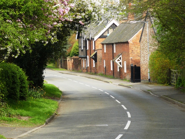
West Leake
West Leake () is a small conservation village and civil parish in the Rushcliffe district of Nottinghamshire. == Description == === Setting === The parish...

Hathern railway station
Hathern railway station was a station serving the village of Hathern in Leicestershire, England. == History == It was built by the Midland Railway on the...

East Leake railway station
East Leake railway station is a former railway station serving East Leake, Nottinghamshire and is the only surviving Great Central Railway station accessed...
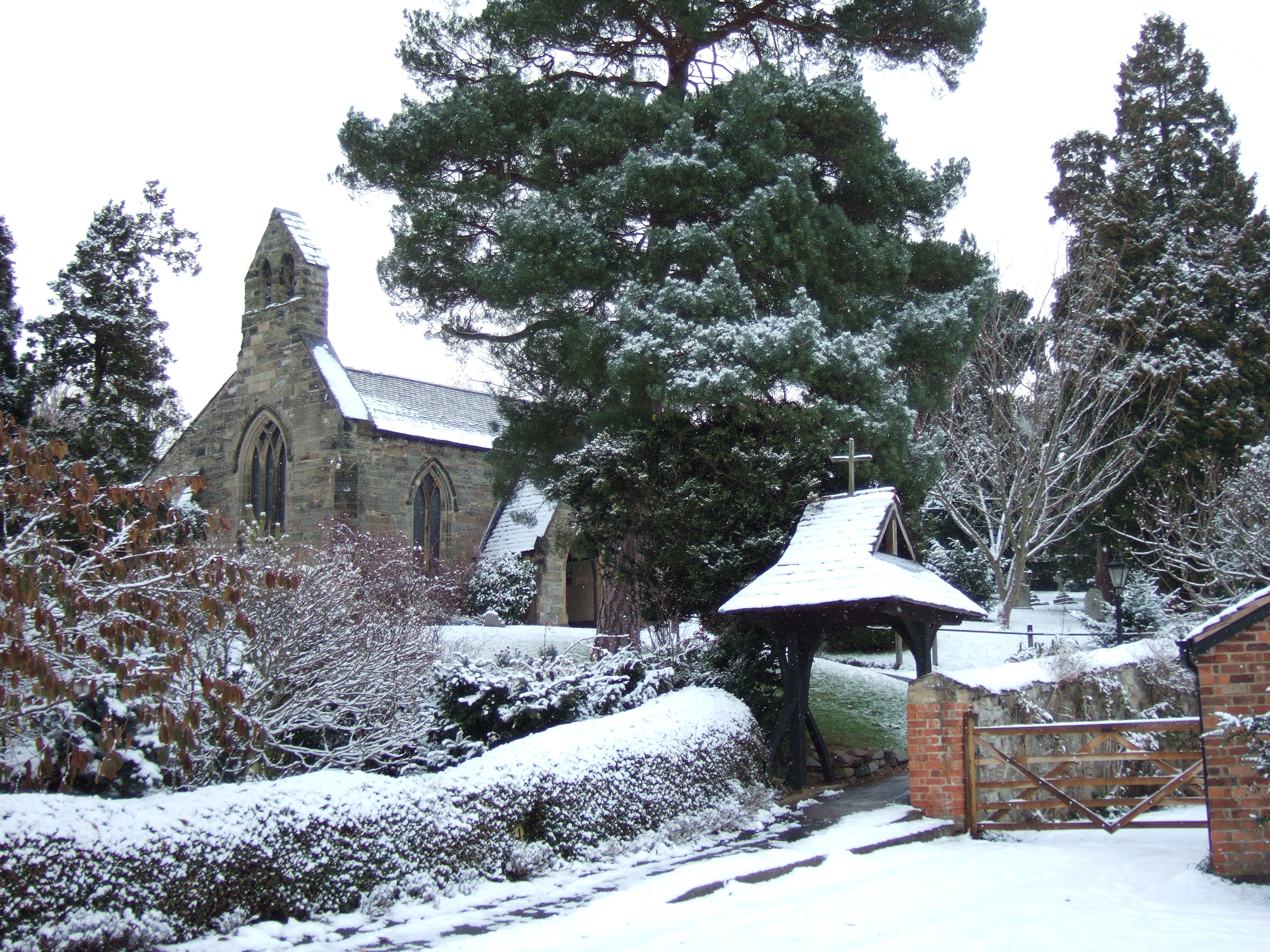
St Anne's Church, Sutton Bonington
St. Anne's Church is a parish church in the Church of England in Sutton Bonington, Nottinghamshire. The church is a 12th-century Grade II* Listed building...

Normanton on Soar
Normanton on Soar (), formerly known as Normanton-upon-Soar and known locally as Normanton, is a village and civil parish in the Rushcliffe district of...

Sutton Bonington
Sutton Bonington () is a village and civil parish lying along the valley of the River Soar in the Borough of Rushcliffe, south-west Nottinghamshire, England...

St James' Church, Normanton
The Church of St. James is a parish church in the village of Normanton on Soar, Nottinghamshire. The Church was designated as a Grade I listed building...
Nearby Amenities
Located within 500m of 52.820937,-1.2164635Have you been to Cold Harbour Plantation?
Leave your review of Cold Harbour Plantation below (or comments, questions and feedback).