Dry Street
Settlement in Essex Basildon
England
Dry Street

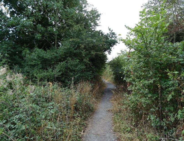
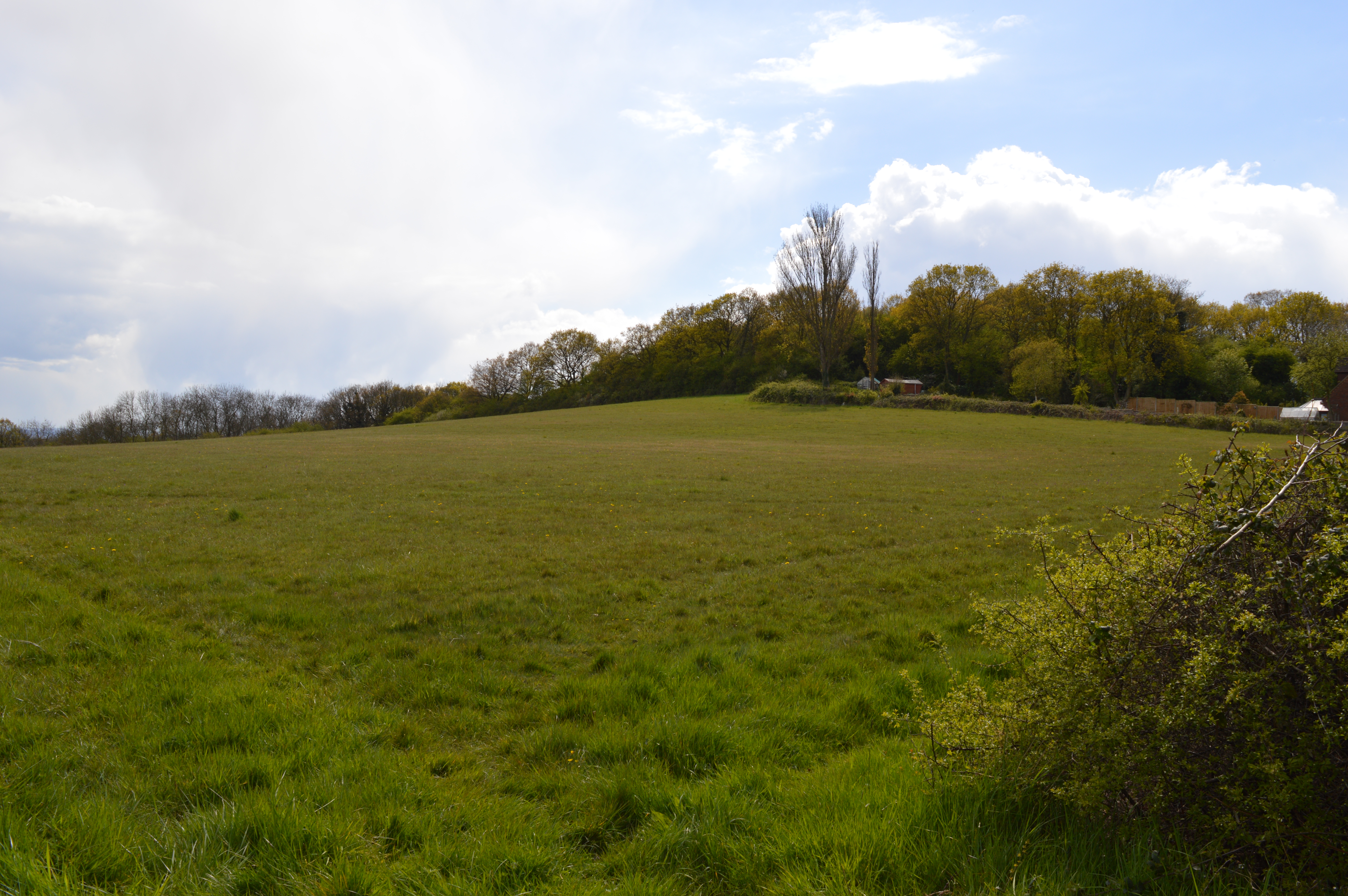
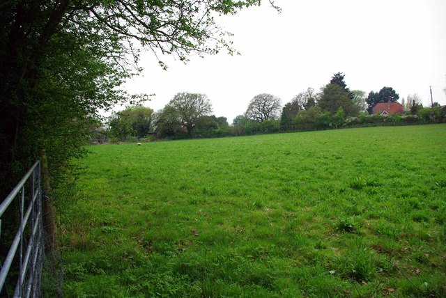
Dry Street is a small village located in the county of Essex, England. Situated near the River Crouch, the village is predominantly rural, offering a peaceful and picturesque setting for its residents.
The name "Dry Street" is believed to have originated from the fact that the road leading to the village was often dry, even after rainfall, due to its elevated position. This characteristic has become a defining feature of the area.
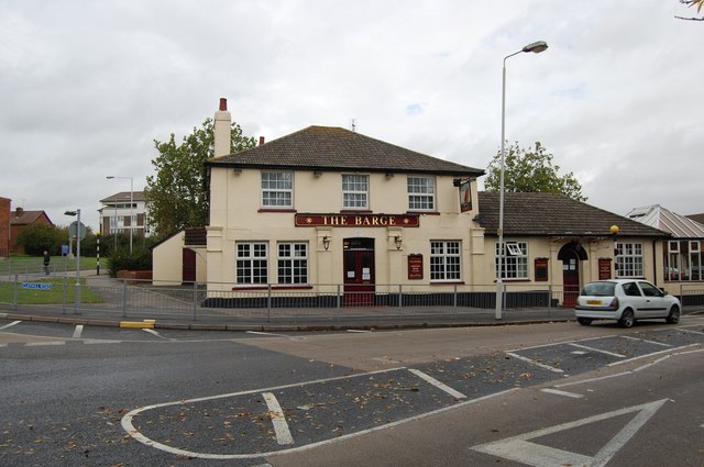
The village consists of a small cluster of houses, most of which are traditional cottages made of red brick or timber. These buildings add to the village's charm and reflect its historical roots. The village also has a local pub, which serves as a popular gathering spot for both locals and visitors alike.
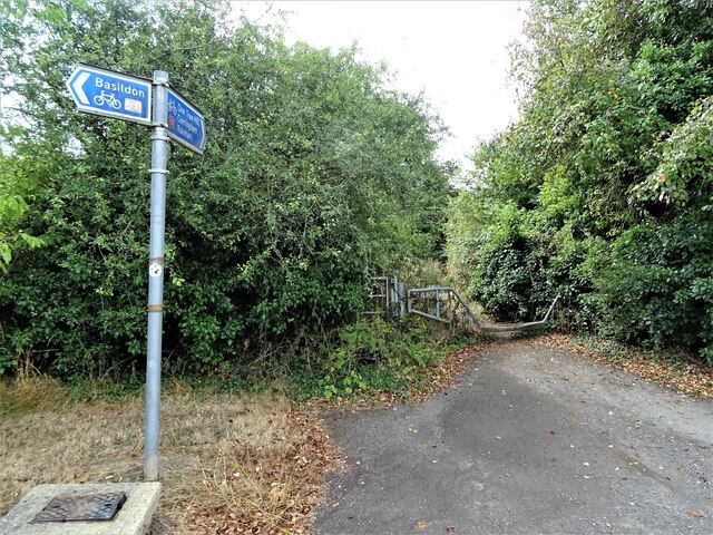
Surrounded by rolling countryside and farmland, Dry Street offers ample opportunities for outdoor activities such as walking, cycling, and horse riding. The area is known for its scenic beauty, with wide open fields and meandering footpaths, making it an ideal destination for nature enthusiasts.
Despite its rural setting, Dry Street is conveniently located within easy reach of nearby towns and amenities. The bustling town of Southend-on-Sea is just a short drive away, offering a wide range of shops, restaurants, and entertainment options.
In summary, Dry Street is a charming village in Essex, known for its rural beauty and peaceful atmosphere. With its historical cottages, scenic surroundings, and close proximity to amenities, it is an idyllic place to live or visit.
If you have any feedback on the listing, please let us know in the comments section below.
Dry Street Images
Images are sourced within 2km of 51.547585/0.43595078 or Grid Reference TQ6986. Thanks to Geograph Open Source API. All images are credited.


Dry Street is located at Grid Ref: TQ6986 (Lat: 51.547585, Lng: 0.43595078)
Administrative County: Essex
District: Basildon
Police Authority: Essex
What 3 Words
///donor.clock.groom. Near Basildon, Essex
Nearby Locations
Related Wikis
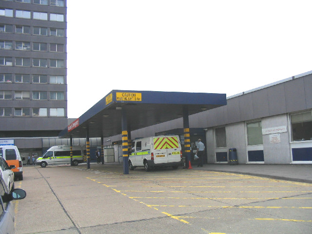
Basildon University Hospital
Basildon University Hospital is an acute general hospital in Basildon, Essex. It is managed by the Mid and South Essex NHS Foundation Trust. == History... ==
Basildon Meadows
Basildon Meadows is a 6.5-hectare (16-acre) biological Site of Special Scientific Interest on the southern outskirts of Basildon in Essex.The site is composed...

Ortu Gable Hall School
Ortu Gable Hall School (formerly Gable Hall School) is an oversubscribed coeducational secondary school academy and sixth form located in Corringham (near...
Performers College
Performers College is an independent, co-educational college specialising in performing arts. It is based in Corringham, Essex, England. == Overview... ==

Langdon Hills
Langdon Hills is an area of Basildon in the borough of Basildon in Essex, England. It is located south of Laindon railway station on the London, Tilbury...
Horndon Meadow
Horndon Meadow is a 0.8-hectare (2.0-acre) nature reserve north of Stanford-le-Hope in Essex. It is managed by the Essex Wildlife Trust.This site is an...
Vange
Vange is a village in the Basildon borough of Essex, England. The village was first recorded in the Domesday Book in 1086 as having a population of 27...
Woodlands School, Basildon
Woodlands School is a secondary school in Basildon, Essex. The school currently educates more than 1600 students from Basildon and South East Essex....
Nearby Amenities
Located within 500m of 51.547585,0.43595078Have you been to Dry Street?
Leave your review of Dry Street below (or comments, questions and feedback).