Joan Slut Plantation

Wood, Forest in Nottinghamshire Ashfield

England

Joan Slut Plantation

Newstead Abbey Back door to the Abbey, downpipe showing two different symbols .
Newstead Abbey Credit: GARY ROE

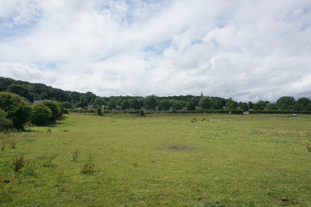
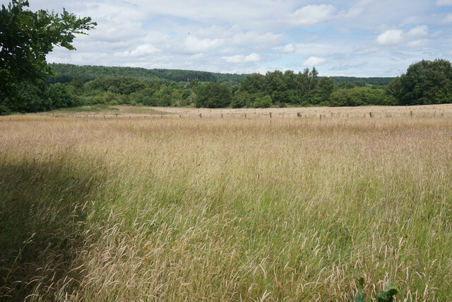
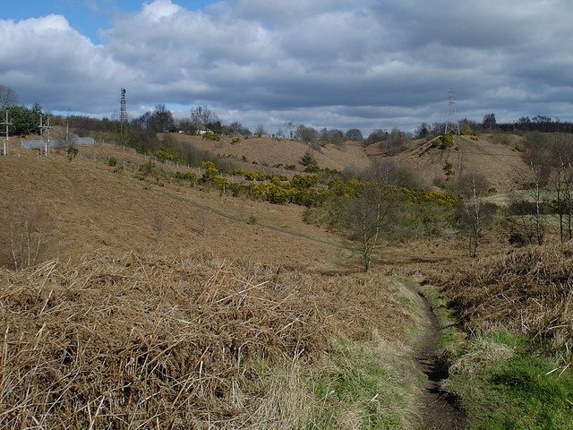
Joan Slut Plantation is a woodland area located in Nottinghamshire, England. Situated in the heart of Sherwood Forest, this plantation is renowned for its natural beauty and historical significance. Covering an area of approximately 200 acres, it is a popular destination for nature enthusiasts, hikers, and history buffs.

The woodland is characterized by a diverse range of flora and fauna, including oak, birch, and pine trees. This rich ecosystem provides a habitat for various wildlife species, such as deer, squirrels, and a wide variety of bird species. Nature lovers can enjoy peaceful walks along the numerous trails that wind through the plantation, appreciating the tranquility and serenity of the surroundings.

Joan Slut Plantation holds historical significance due to its proximity to the legendary Sherwood Forest. According to local folklore, this forest was once home to the famous outlaw, Robin Hood, and his band of merry men. Visitors can explore the nearby Sherwood Forest Visitor Centre to learn more about the folklore and history associated with the area.

The plantation is easily accessible, with ample parking facilities and well-maintained paths. It offers a range of amenities, including picnic areas and benches, making it an ideal spot for a family day out or a peaceful retreat in nature. The woodland is open to the public year-round, allowing visitors to experience its beauty in every season.

Overall, Joan Slut Plantation in Nottinghamshire is a cherished natural gem, offering a blend of natural beauty and historical significance. Whether it's for a leisurely stroll, birdwatching, or immersing oneself in the legends of Robin Hood, this woodland destination has something to offer for everyone.

If you have any feedback on the listing, please let us know in the comments section below.

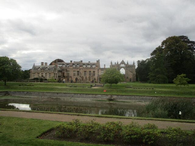
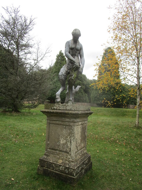
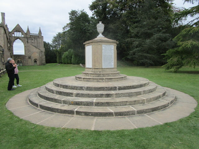
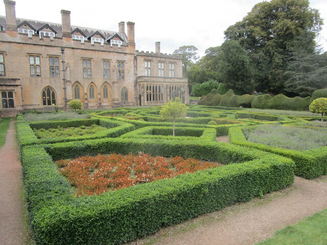
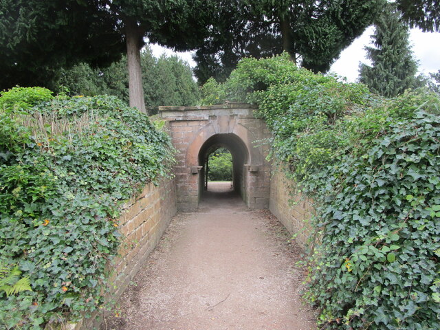
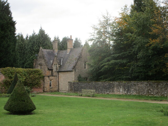
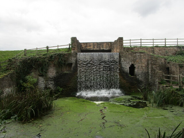
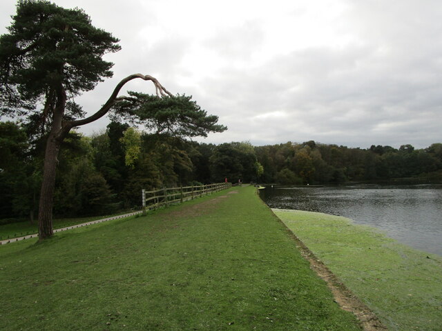
Joan Slut Plantation Images

Images are sourced within 2km of 53.085878/-1.2155587 or Grid Reference SK5254. Thanks to Geograph Open Source API. All images are credited.

Newstead Abbey Back door to the Abbey, downpipe showing two different symbols .
Newstead Abbey
Back door to the Abbey, downpipe showing two different symbols .
Lake, The Fort and stable block, Newstead Abbey The Stable range (on the right) dates from 1862 <span class="nowrap"><a title="https://historicengland.org.uk/listing/the-list/list-entry/1264301" rel="nofollow ugc noopener" href="https://historicengland.org.uk/listing/the-list/list-entry/1264301">Link</a><img style="margin-left:2px;" alt="External link" title="External link - shift click to open in new window" src="https://s1.geograph.org.uk/img/external.png" width="10" height="10"/></span> The Fort (on the left) dates from about 1770 but much modified a century later <span class="nowrap"><a title="https://historicengland.org.uk/listing/the-list/list-entry/1265327" rel="nofollow ugc noopener" href="https://historicengland.org.uk/listing/the-list/list-entry/1265327">Link</a><img style="margin-left:2px;" alt="External link" title="External link - shift click to open in new window" src="https://s1.geograph.org.uk/img/external.png" width="10" height="10"/></span>
Lake, The Fort and stable block, Newstead Abbey
The Stable range (on the right) dates from 1862 LinkExternal link The Fort (on the left) dates from about 1770 but much modified a century later LinkExternal link
Weir below the Garden Lake, Newstead Abbey
The Stew Pond, Newstead Abbey
The Garden Lake, Newstead Abbey
Former stables. Newstead Abbey Designed by M.E.Hadfield 1862-3 <span class="nowrap"><a title="https://en.wikipedia.org/wiki/Matthew_Ellison_Hadfield" rel="nofollow ugc noopener" href="https://en.wikipedia.org/wiki/Matthew_Ellison_Hadfield">Link</a><img style="margin-left:2px;" alt="External link" title="External link - shift click to open in new window" src="https://s1.geograph.org.uk/img/external.png" width="10" height="10"/></span> Now housing <span class="nowrap"><a title="https://historicengland.org.uk/listing/the-list/list-entry/1264301" rel="nofollow ugc noopener" href="https://historicengland.org.uk/listing/the-list/list-entry/1264301">Link</a><img style="margin-left:2px;" alt="External link" title="External link - shift click to open in new window" src="https://s1.geograph.org.uk/img/external.png" width="10" height="10"/></span>
Former stables. Newstead Abbey
Designed by M.E.Hadfield 1862-3 LinkExternal link Now housing LinkExternal link
The Eagle Pool and the east facade of Newstead Abbey The inside of the west front of the medieval abbey visible in the right <span class="nowrap"><a title="https://historicengland.org.uk/listing/the-list/list-entry/1265325" rel="nofollow ugc noopener" href="https://historicengland.org.uk/listing/the-list/list-entry/1265325">Link</a><img style="margin-left:2px;" alt="External link" title="External link - shift click to open in new window" src="https://s1.geograph.org.uk/img/external.png" width="10" height="10"/></span>
The Eagle Pool and the east facade of Newstead Abbey
The inside of the west front of the medieval abbey visible in the right LinkExternal link
Satyr, Newstead Abbey Early eighteenth century <span class="nowrap"><a title="https://historicengland.org.uk/listing/the-list/list-entry/1227526" rel="nofollow ugc noopener" href="https://historicengland.org.uk/listing/the-list/list-entry/1227526">Link</a><img style="margin-left:2px;" alt="External link" title="External link - shift click to open in new window" src="https://s1.geograph.org.uk/img/external.png" width="10" height="10"/></span> Probably the work of Jan van Nost the Elder <span class="nowrap"><a title="https://en.wikipedia.org/wiki/John_Nost" rel="nofollow ugc noopener" href="https://en.wikipedia.org/wiki/John_Nost">Link</a><img style="margin-left:2px;" alt="External link" title="External link - shift click to open in new window" src="https://s1.geograph.org.uk/img/external.png" width="10" height="10"/></span>
Satyr, Newstead Abbey
Early eighteenth century LinkExternal link Probably the work of Jan van Nost the Elder LinkExternal link
Monument to Boatswain Boatswain was Lord Byron's dog,
Monument to Boatswain
Boatswain was Lord Byron's dog,
The Spanish Garden, Newstead Abbey Originally created in the early eighteenth century.
The Gothic windows in the building beyond light the chapel which has been created from the chapter house of the original abbey (actually a priory).
The Spanish Garden, Newstead Abbey
Originally created in the early eighteenth century. The Gothic windows in the building beyond light the chapel which has been created from the chapter house of the original abbey (actually a priory).
Archway through the garden wall, Newstead Abbey
The Garden House, Newstead Abbey
Waterfall below the Upper Lake, Newstead Abbey The much modified River Leen.
Waterfall below the Upper Lake, Newstead Abbey
The much modified River Leen.
The dam of the Upper Lake, Newstead Abbey
Newstead Abbey January 2022 the top lake at Newstead Abbey fed by the River Leen
Newstead Abbey
January 2022 the top lake at Newstead Abbey fed by the River Leen
Newstead Abbey in 2002 The west front
Newstead Abbey in 2002
The west front
Pastureland at Annesley This land was between the colliery and the cottages. The stumpy spire of All Saints Church is seen in the trees behind.
Pastureland at Annesley
This land was between the colliery and the cottages. The stumpy spire of All Saints Church is seen in the trees behind.
Wild grassland near Newstead & Annesley Country Park This was former colliery land, bounded by railways. There were a lot of swifts flying around but they were too swift for me to capture satisfactorily.
Wild grassland near Newstead & Annesley Country Park
This was former colliery land, bounded by railways. There were a lot of swifts flying around but they were too swift for me to capture satisfactorily.
Show me another place!

Joan Slut Plantation is located at Grid Ref: SK5254 (Lat: 53.085878, Lng: -1.2155587)

Administrative County: Nottinghamshire

District: Ashfield

Police Authority: Nottinghamshire

What 3 Words

///yoga.crunch.drape. Near Kirkby in Ashfield, Nottinghamshire

Related Wikis

Notts Golf Club

Notts Golf Club, more commonly referred to simply as Hollinwell, is an 18-hole members golf club in Nottinghamshire, England which has hosted a number...

Robin Hood Hills, Nottinghamshire

Robin Hood Hills are a steep sided range of sandstone hills forming a natural amphitheatre surrounding the villages of Annesley and Newstead in Nottinghamshire...

1906 News of the World Match Play

The 1906 News of the World Match Play was the fourth News of the World Match Play tournament. It was played from Tuesday 2 to Thursday 4 October at Notts...

Hollinwell and Annesley railway station

Hollinwell and Annesley (previously Hollin Well and Annesley) is a former station on the Great Central Railway on the section between Nottingham Victoria...

Annesley railway station

Annesley railway station was a station in Annesley, Nottinghamshire. It was opened in 1874, to serve the mining village of Annesley which had grown following...

Newstead and Annesley railway station

Newstead and Annesley railway station was a station on the Great Northern Railway's Nottingham to Shirebrook line. == History == == Present day == No trace...

Annesley South Junction Halt railway station

Annesley South Junction Halt is a former halt on the Great Central Railway on the section between Nottingham Victoria and Sheffield Victoria. The halt...

Newstead Abbey

Newstead Abbey, in Nottinghamshire, England, was formerly an Augustinian priory. Converted to a domestic home following the Dissolution of the Monasteries...

Nearby Amenities

Located within 500m of 53.085878,-1.2155587
Power: tower
Source: Bing
Lat/Long: 53.0817813/-1.2138611
Power: tower
Source: Bing
Lat/Long: 53.0832249/-1.2166292
Power: tower
Source: Bing
Lat/Long: 53.0827093/-1.2204701
Power: pole
Source: Bing
Lat/Long: 53.0902589/-1.2139101
Power: pole
Source: Bing
Lat/Long: 53.0901985/-1.2156361
Man Made: flagpole
Lat/Long: 53.0846586/-1.2226909
The data included in this document is from www.openstreetmap.org. The data is made available under ODbL.

Have you been to Joan Slut Plantation?

Leave your review of Joan Slut Plantation below (or comments, questions and feedback).