Burrow Spinney
Wood, Forest in Leicestershire Harborough
England
Burrow Spinney

Burrow Spinney is a dense woodland located in Leicestershire, England. Situated in the heart of the county, it covers a vast area of approximately 200 acres. The woodland is characterized by its thick canopy of trees, predominantly consisting of oak, beech, and birch.
The area is a popular destination for nature enthusiasts, hikers, and birdwatchers. It offers a tranquil escape from the bustling city life, providing visitors with a serene and peaceful environment. The woodland is home to a diverse range of flora and fauna, including various species of birds, squirrels, and deer. It is not uncommon to spot these animals while exploring the woodland trails.
The woodland is crisscrossed with a network of well-maintained footpaths, making it easily accessible for visitors of all ages. These trails meander through the forest, offering breathtaking views of the surrounding landscape. Additionally, there are designated picnic areas and benches for visitors to relax and enjoy the natural beauty of the area.
Burrow Spinney is managed by a local conservation organization, ensuring the preservation of its natural habitat and wildlife. The organization conducts regular surveys to monitor the health of the woodland and implement necessary measures for its protection.
Overall, Burrow Spinney is a hidden gem in Leicestershire, offering a picturesque and enchanting woodland experience. Whether it's for a leisurely stroll, a family picnic, or an immersive nature adventure, this woodland provides a haven for those seeking solace in nature's embrace.
If you have any feedback on the listing, please let us know in the comments section below.
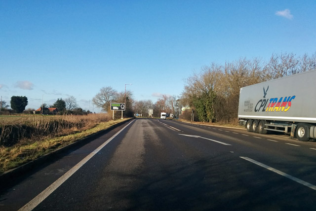
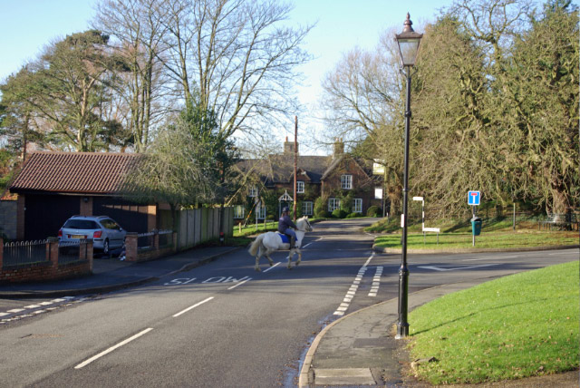
Burrow Spinney Images
Images are sourced within 2km of 52.434859/-1.2294165 or Grid Reference SP5282. Thanks to Geograph Open Source API. All images are credited.


Burrow Spinney is located at Grid Ref: SP5282 (Lat: 52.434859, Lng: -1.2294165)
Administrative County: Leicestershire
District: Harborough
Police Authority: Leicestershire
What 3 Words
///blackouts.threaded.thudding. Near Lutterworth, Leicestershire
Nearby Locations
Related Wikis

Cotesbach
Cotesbach is a village and civil parish in the Harborough district of Leicestershire, England. The nearest town is Lutterworth, about 1+1⁄2 miles (2.4...

A426 road
The A426 road is a road in England which runs from the city of Leicester to the market town of Southam in Warwickshire via the towns of Lutterworth and...
Churchover
Churchover is a small village and civil parish in Warwickshire, England. The population of the parish in the 2001 census was 230, increasing to 251 at...

Cestersover
Cestersover is a deserted village in Warwickshire, England, now in the civil parish of Pailton. == History == It was a hamlet of Monks Kirby and was site...
Nearby Amenities
Located within 500m of 52.434859,-1.2294165Have you been to Burrow Spinney?
Leave your review of Burrow Spinney below (or comments, questions and feedback).