Roundhill Spinney

Wood, Forest in Northamptonshire

England

Roundhill Spinney

Joining of the Jurassic Way and the Macmillan Way En route to Chipping Warden. The two Ways were last joined near Great Oxendon <a href="https://www.geograph.org.uk/photo/1994250">SP7583 : Seat not for sitting on</a>
Joining of the Jurassic Way and the Macmillan Way Credit: Tim Heaton

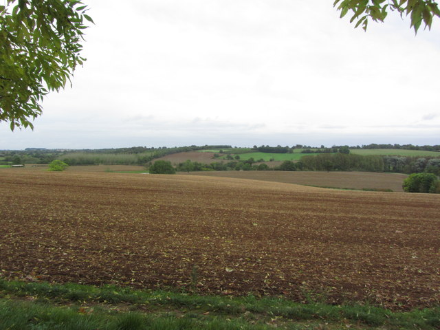
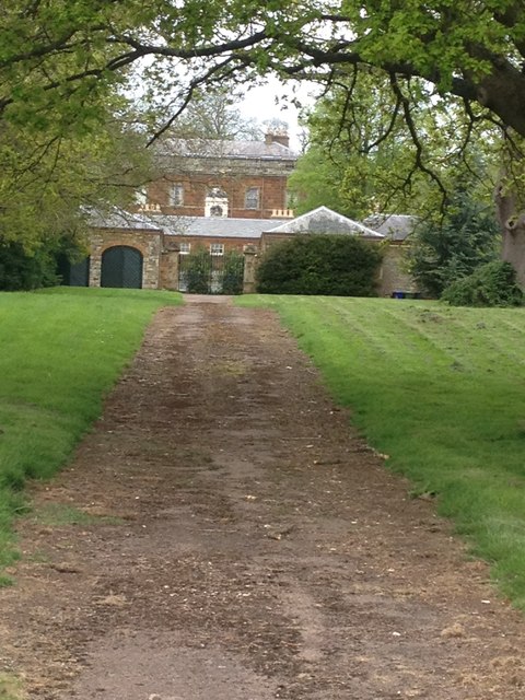
Roundhill Spinney is a small woodland area located in Northamptonshire, England. Covering an area of approximately 10 acres, it is a picturesque and tranquil spot that attracts nature lovers and outdoor enthusiasts alike.

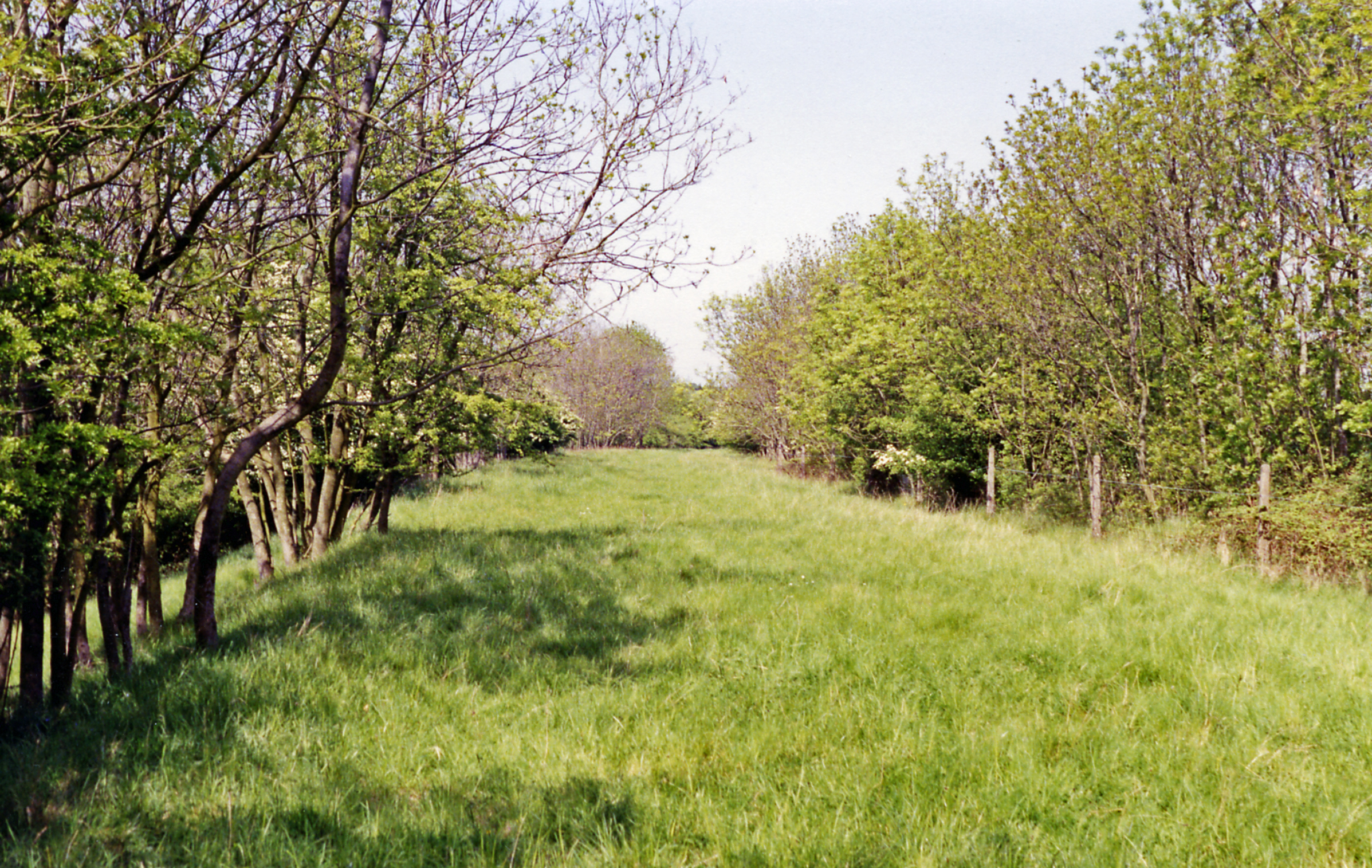
The spinney is predominantly made up of native broadleaf trees such as oak, ash, and birch, creating a diverse and vibrant woodland ecosystem. These trees provide a haven for a wide variety of wildlife, including birds, insects, and small mammals.

The woodland floor is covered with a rich carpet of wildflowers, adding bursts of color throughout the seasons. Bluebells, primroses, and wood anemones are just a few examples of the flora that can be found in Roundhill Spinney.

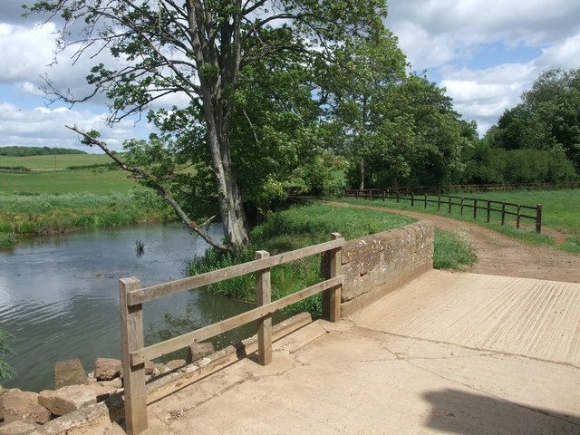
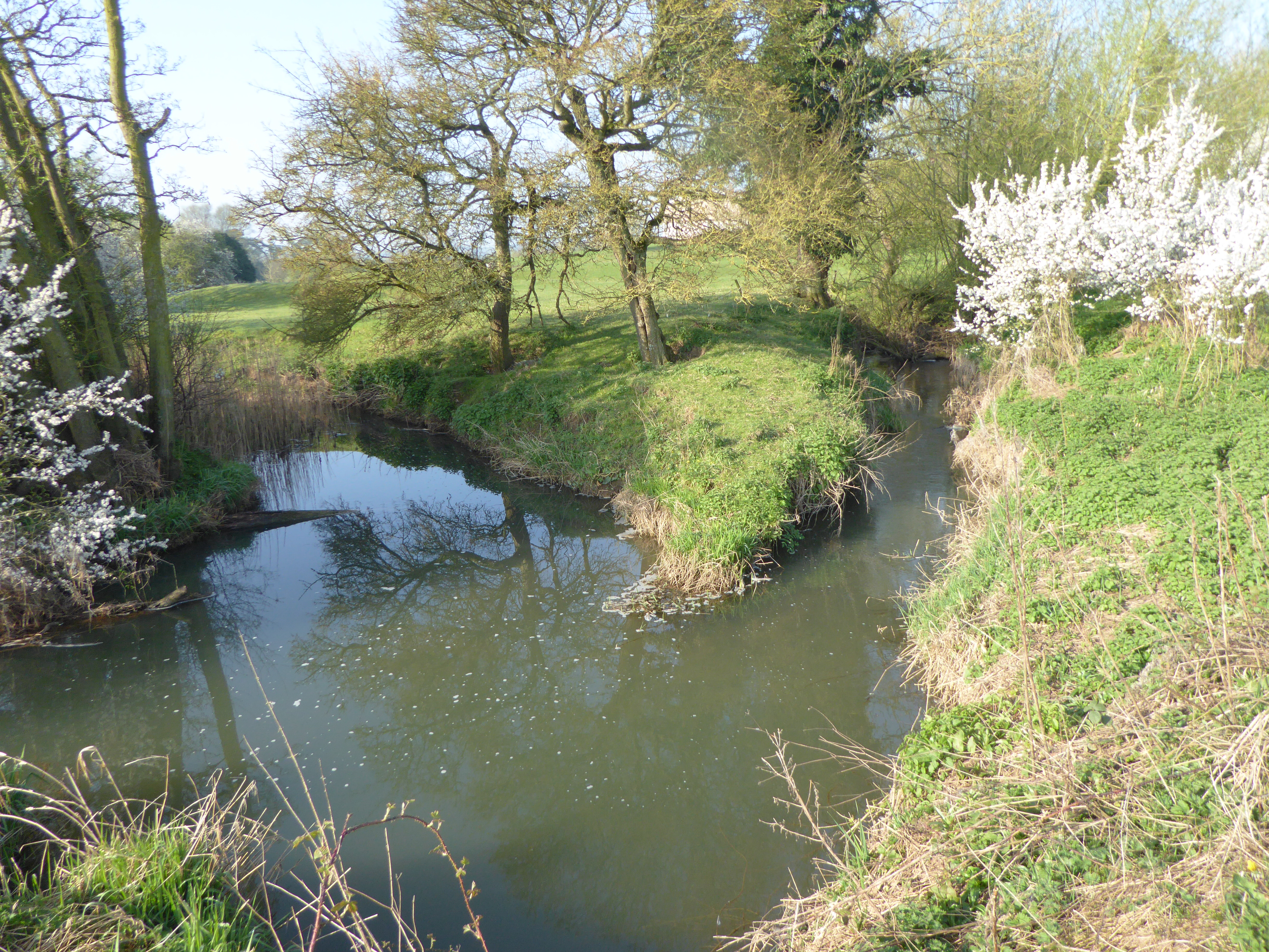
A network of well-maintained footpaths winds through the spinney, allowing visitors to explore the area on foot. These paths lead to secluded clearings and hidden glades, providing opportunities for peaceful reflection and relaxation. The spinney is also intersected by a small stream, which adds to its natural charm.

Roundhill Spinney is managed by a local conservation group, who work to preserve its unique ecosystem and protect its inhabitants. They organize regular events and educational activities to raise awareness about the importance of woodland conservation.

Overall, Roundhill Spinney is a hidden gem in Northamptonshire, offering a peaceful retreat from the hustle and bustle of everyday life. With its diverse flora and fauna, well-maintained paths, and dedication to conservation, it is a place that both nature enthusiasts and casual visitors can enjoy and appreciate.

If you have any feedback on the listing, please let us know in the comments section below.

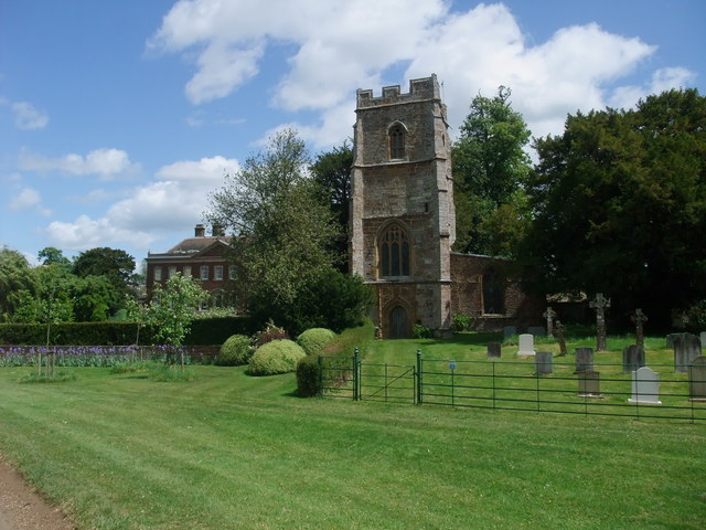
Roundhill Spinney Images

Images are sourced within 2km of 52.133909/-1.2371457 or Grid Reference SP5248. Thanks to Geograph Open Source API. All images are credited.

Joining of the Jurassic Way and the Macmillan Way En route to Chipping Warden. The two Ways were last joined near Great Oxendon <a href="https://www.geograph.org.uk/photo/1994250">SP7583 : Seat not for sitting on</a>
Joining of the Jurassic Way and the Macmillan Way
En route to Chipping Warden. The two Ways were last joined near Great Oxendon SP7583 : Seat not for sitting on
On the Jurassic Way, - Ploughed fields NE of Wardenhill Farm, Chipping Warden
View towards Warden Grange from Jurassic Way, Chipping Warden
Ploughed fields W of Eydon as seen from Jurassic Way near Warden Grange, Northants
View from Warden Hill
Church of St James, Edgcote Containing fine Elizabethan monuments to the Chauncy family <span class="nowrap"><a title="http://www.waymarking.com/waymarks/WMB9FC_St_James_Edgcote_Northants" rel="nofollow ugc noopener" href="http://www.waymarking.com/waymarks/WMB9FC_St_James_Edgcote_Northants">Link</a><img style="margin-left:2px;" alt="External link" title="External link - shift click to open in new window" src="https://s1.geograph.org.uk/img/external.png" width="10" height="10"/></span>
Church of St James, Edgcote
Containing fine Elizabethan monuments to the Chauncy family LinkExternal link
The Battlefields Trail alongside the River Cherwell The 20 mile Battlefields trail joins civil war sites of Edgcote, Copredy Bridge and Edgehill. <span class="nowrap"><a title="http://www.battlefieldstrust.com/media/718.pdf" rel="nofollow ugc noopener" href="http://www.battlefieldstrust.com/media/718.pdf">Link</a><img style="margin-left:2px;" alt="External link" title="External link - shift click to open in new window" src="https://s1.geograph.org.uk/img/external.png" width="10" height="10"/></span>
The Battlefields Trail alongside the River Cherwell
The 20 mile Battlefields trail joins civil war sites of Edgcote, Copredy Bridge and Edgehill. LinkExternal link
The Battlefields Trail in the Cherwell Valley
Bridleway towards Appletree Road Judging by the complete lack of a visible track across this field, the bridleway is little used.
Bridleway towards Appletree Road
Judging by the complete lack of a visible track across this field, the bridleway is little used.
Footpath past Bush Hill Barn The isolated barn is on the left in the middle distance.
Footpath past Bush Hill Barn
The isolated barn is on the left in the middle distance.
NW near Culworth, towards Eydon View in deepest Northamptonshire west of Culworth towards Eydon, from a bridge over the former railway line from Banbury to Woodford Halse, which although an important North-South link between the ex-GCR and the ex-GWR was closed in 9/66 along with the ex-GCR main line.
NW near Culworth, towards Eydon
View in deepest Northamptonshire west of Culworth towards Eydon, from a bridge over the former railway line from Banbury to Woodford Halse, which although an important North-South link between the ex-GCR and the ex-GWR was closed in 9/66 along with the ex-GCR main line.
Pond below Wardenhill Farm, Chipping Warden
Railway Bridge
Railway Bridge
Farmland
Farmland
Bit random!
Bit random!
Wadground Barn
Wadground Barn
Footpath junction
Footpath junction
Bridleway to Culworth Mill
Show me another place!

Roundhill Spinney is located at Grid Ref: SP5248 (Lat: 52.133909, Lng: -1.2371457)

Unitary Authority: West Northamptonshire

Police Authority: Northamptonshire

What 3 Words

///dust.fatherly.buddy. Near Hinton, Northamptonshire

Nearby Locations

Roundhill Spinney

Related Wikis

Upper Cherwell at Trafford House

Upper Cherwell at Trafford House is an 18.5-hectare (46-acre) geological Site of Special Scientific Interest between Chipping Warden and Eydon in Northamptonshire...

Eydon Hall

Eydon Hall is a Palladian stately home near the village of Eydon, in Northamptonshire. It is a Grade I listed building, and is currently in use as a private...

Eydon Road Halt railway station

Eydon Road Halt was a railway station on the link line between the Great Central Railway and the Great Western Railway's Birmingham - London line, leaving...

Edgcote

Edgcote is a village and former civil parish, now in the parish of Chipping Warden and Edgcote, in the West Northamptonshire district, in the ceremonial...

Nearby Amenities

Located within 500m of 52.133909,-1.2371457
Barrier: footgate
Lat/Long: 52.1301889/-1.2409061
Power: pole
Lat/Long: 52.1316872/-1.2357448
Power: pole
Lat/Long: 52.1330618/-1.2324411
Power: pole
Lat/Long: 52.1318254/-1.2343536
Power: pole
Lat/Long: 52.1319621/-1.233044
Power: pole
Lat/Long: 52.1316465/-1.2345931
Power: pole
Lat/Long: 52.1318004/-1.2407224
Power: pole
Lat/Long: 52.1307525/-1.2408418
Power: pole
Lat/Long: 52.1318359/-1.2421188
Power: pole
Lat/Long: 52.1325077/-1.2327436
Power: pole
Lat/Long: 52.1318705/-1.2434802
Power: pole
Lat/Long: 52.132216/-1.2304539
Power: pole
Lat/Long: 52.1317179/-1.2370954
Power: pole
Lat/Long: 52.1317449/-1.2382809
Power: pole
Lat/Long: 52.1317723/-1.239487
Power: pole
Lat/Long: 52.1320871/-1.2317686
The data included in this document is from www.openstreetmap.org. The data is made available under ODbL.

Have you been to Roundhill Spinney?

Leave your review of Roundhill Spinney below (or comments, questions and feedback).